Previous
Sunday June 29, 2014
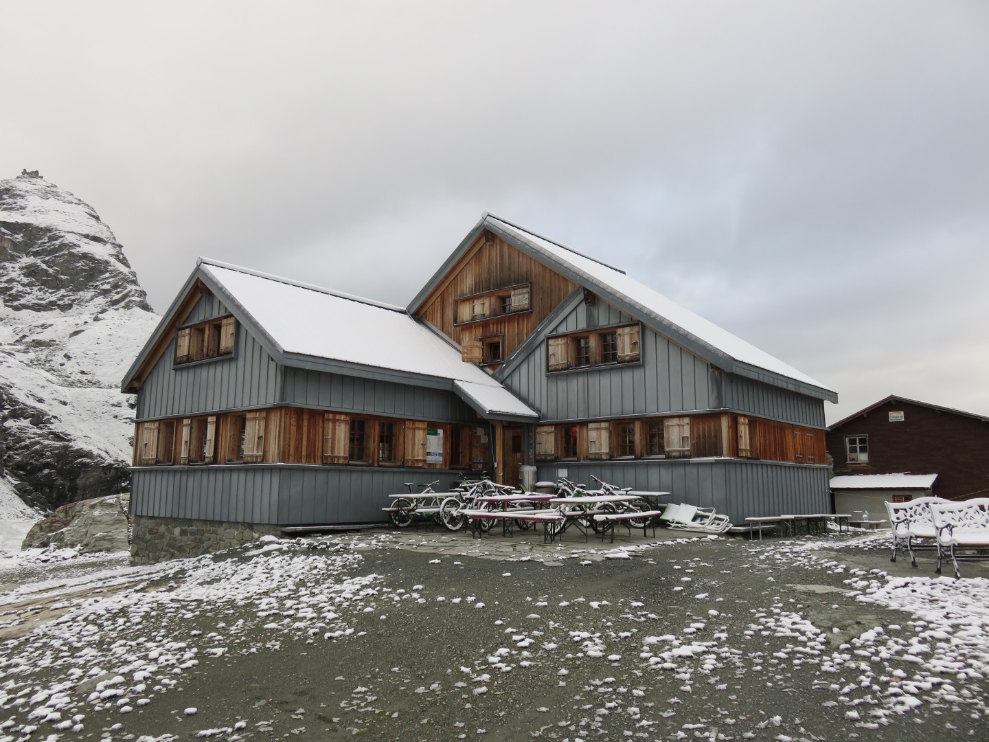
Geneva, Sion, and Cabane de Prafleuri
Monday June 30, 2014
Cabane de Prafleuri to Verbier
Next
Tuesday July 1, 2014
Verbier, Chamonix, and Zermatt
I woke up around 4am. I was at least facing knee deep snow on
the first col, along with a fresh inch or two of snow covering the
col. The weather looked awful - not at all the improving weather
from the forecast. After perhaps 15 minutes I decided to proceed
with the hike - I
could always turn back if conditions warranted. I had requested
breakfast at 6am, the earliest possible.
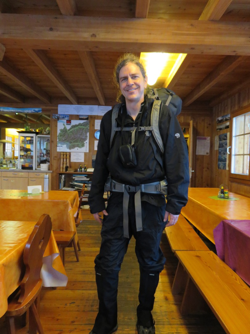
After breakfast I put on all my rain clothes, as well as the brand new
gaitors I had purchased. I had assumed I would return the gaitors
unused to REI at the end of my trip. The gaitors were a last
minute purchase for the 'easy' 4000m peaks I intended to try to climb
later in the trip, not this hike. I guess now I would find out
how waterproof my shoes really were. While I had hiked in the
rain for hours to get to the Cabane in 2012, my shoes ended up somewhat
wet inside, probably because my rain pants weren't waterproof.
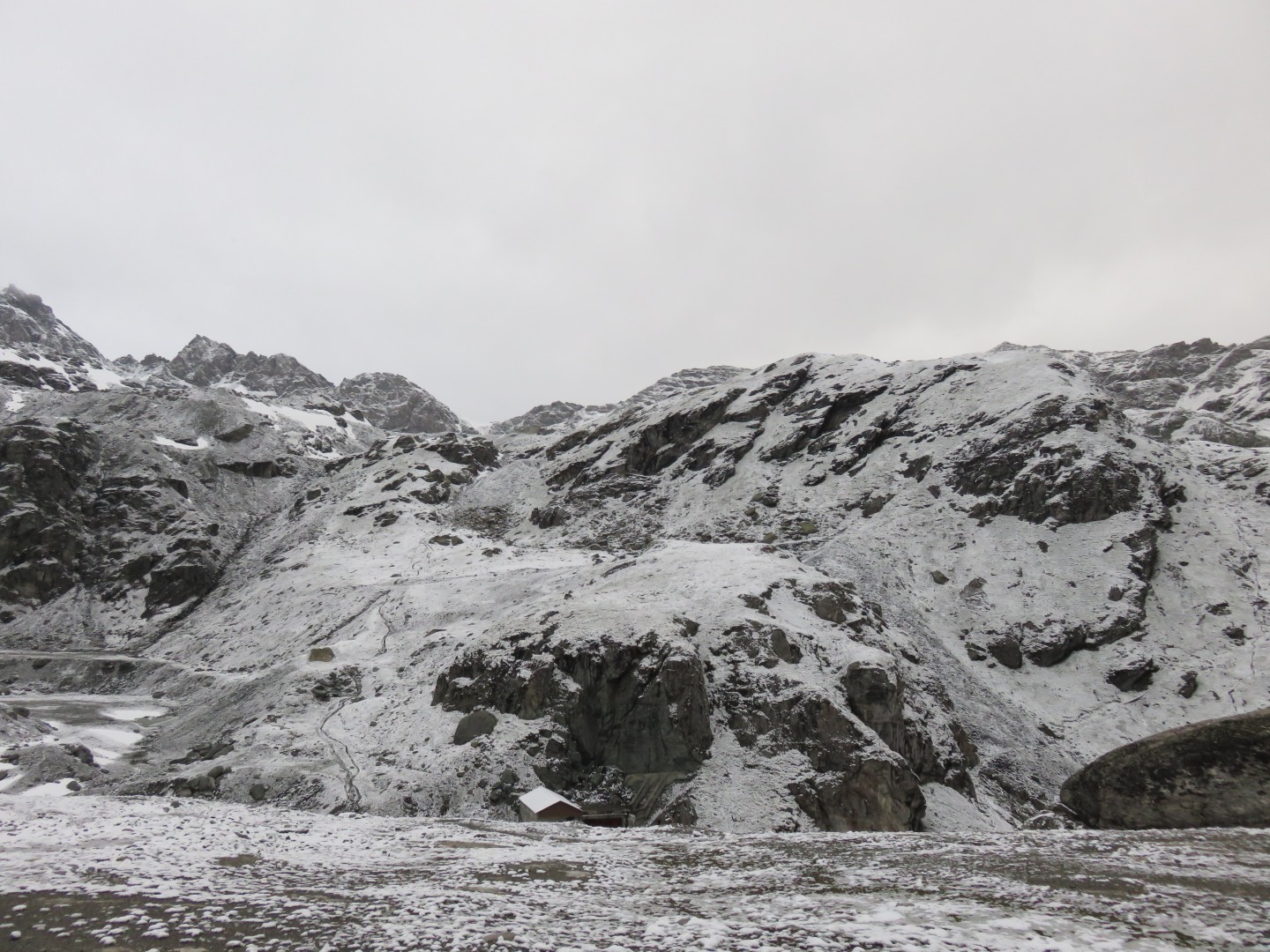
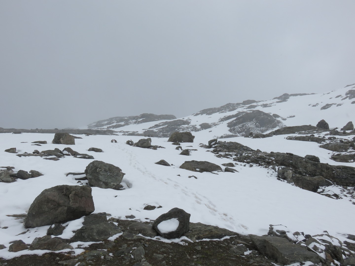
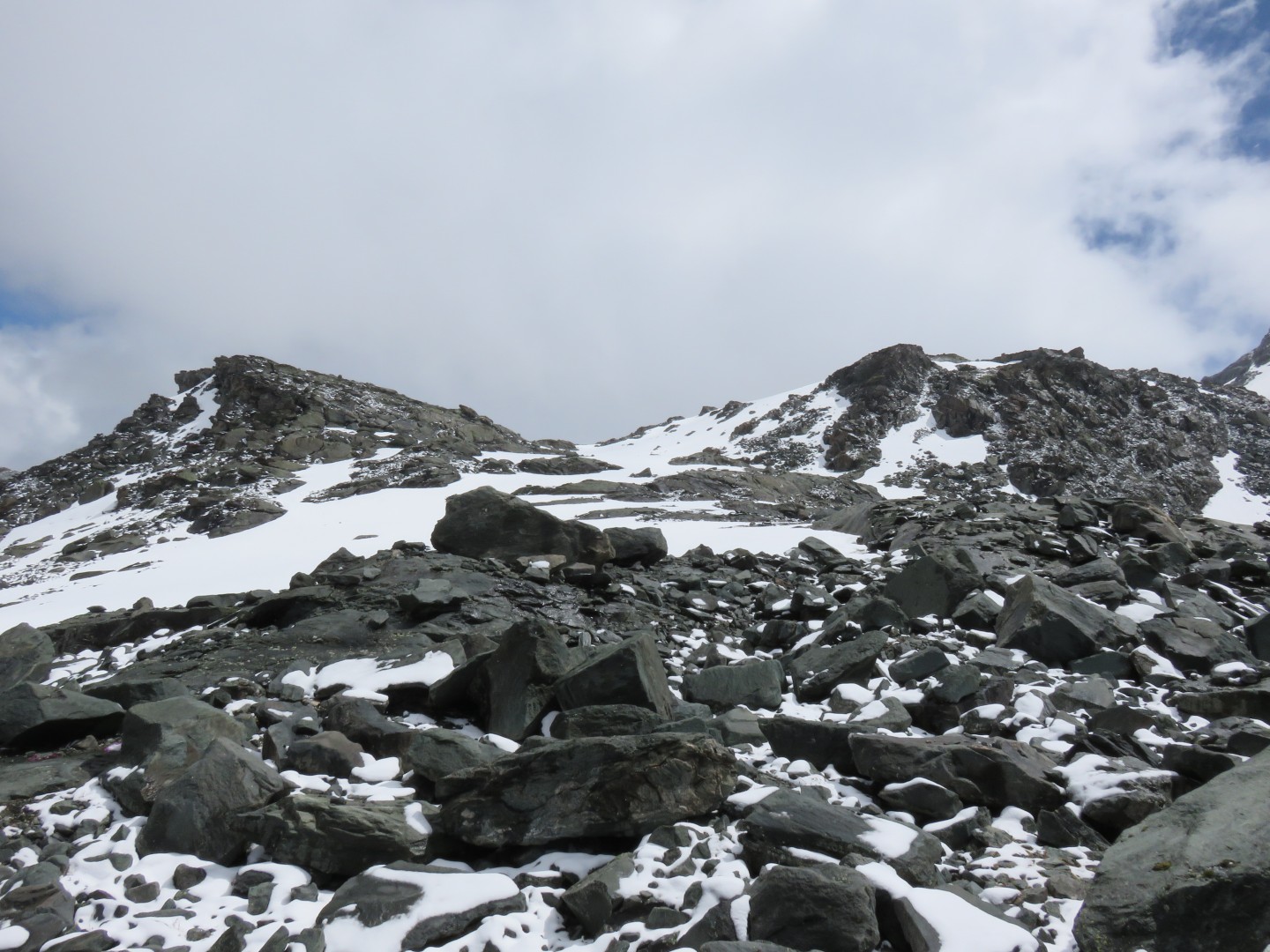
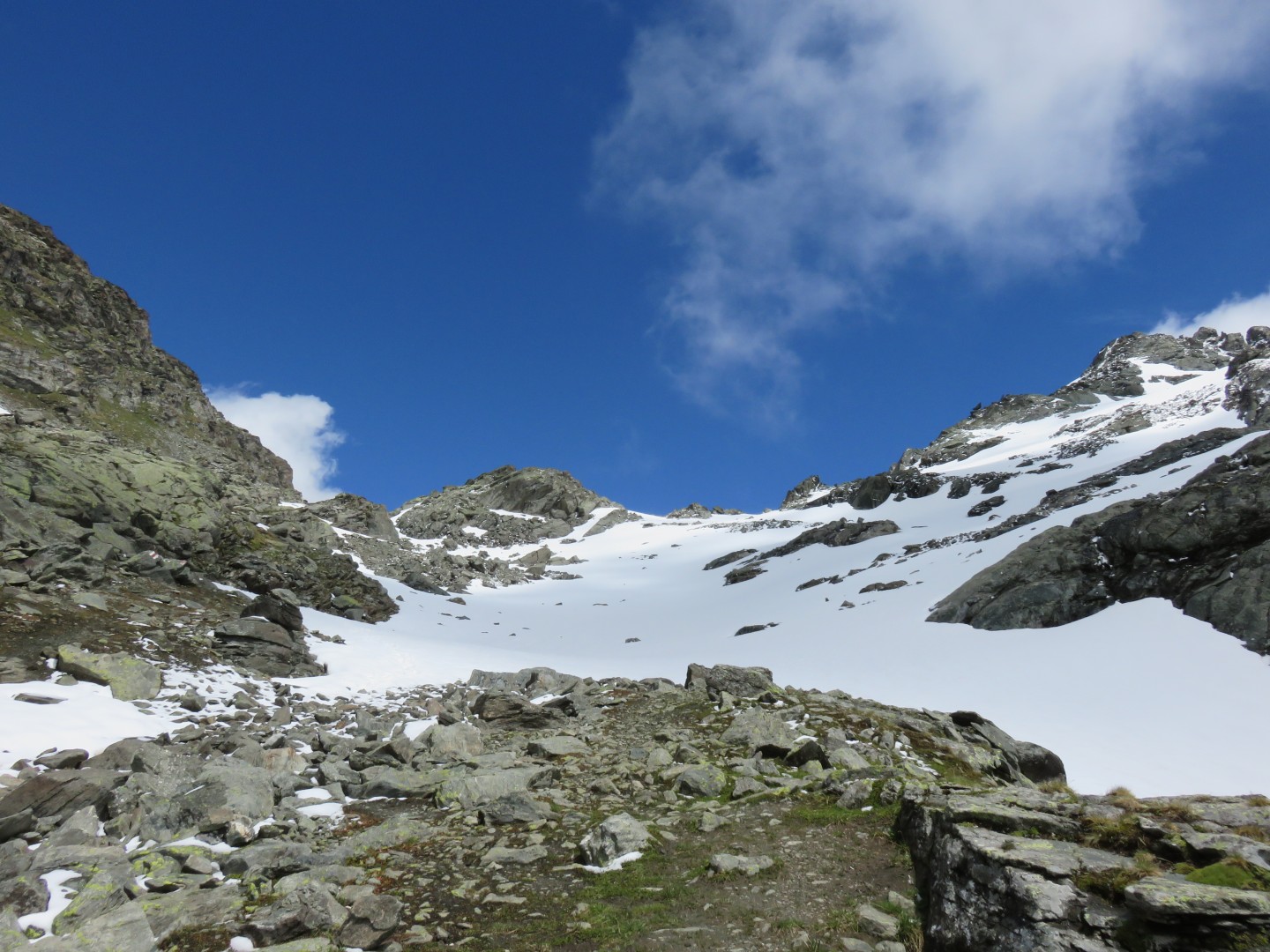
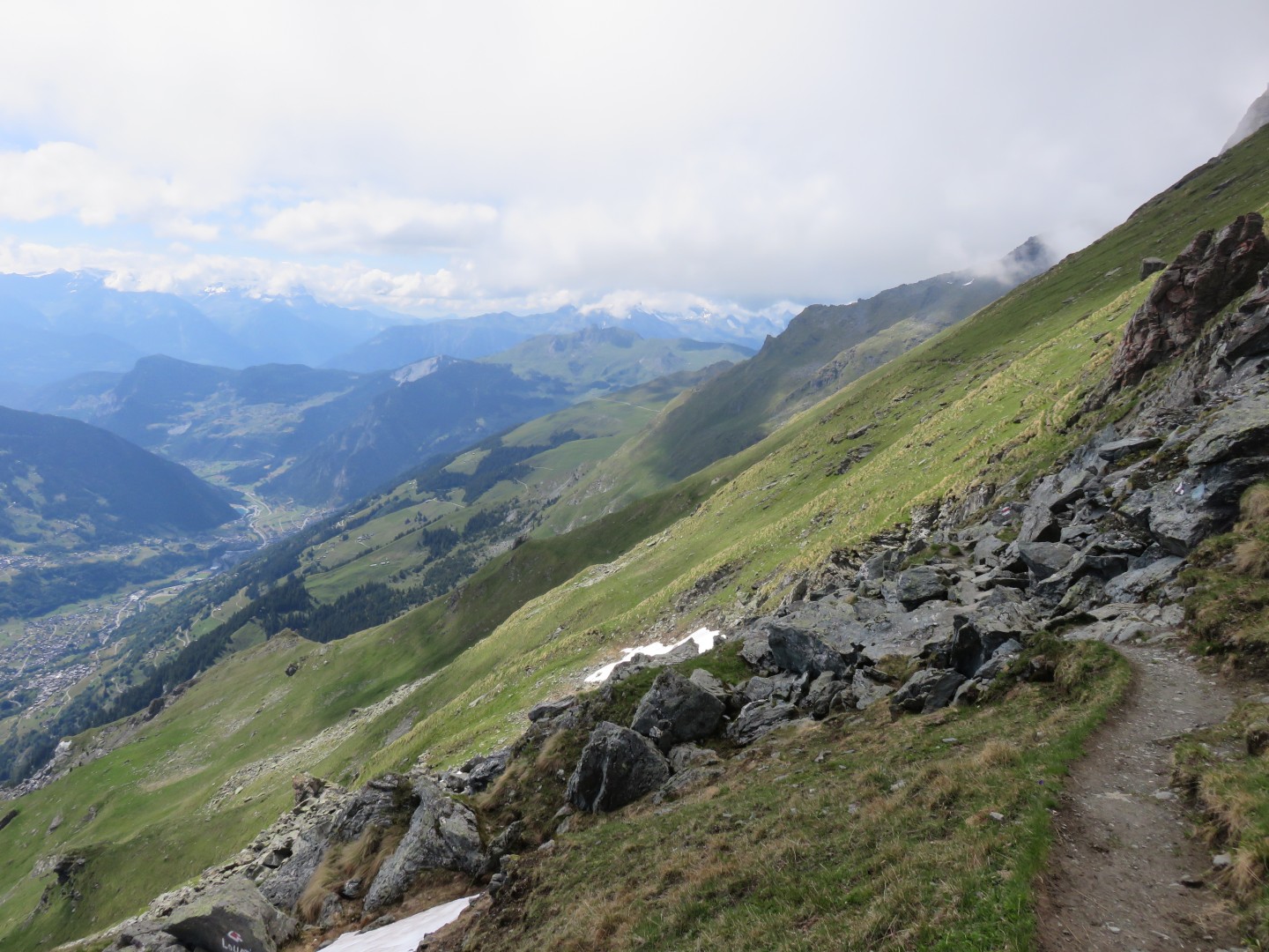
I left the Cabane at around 6:50am. While the trail is easy to
see in
the picture above, it did not take long before I could no longer easily
find the trail.
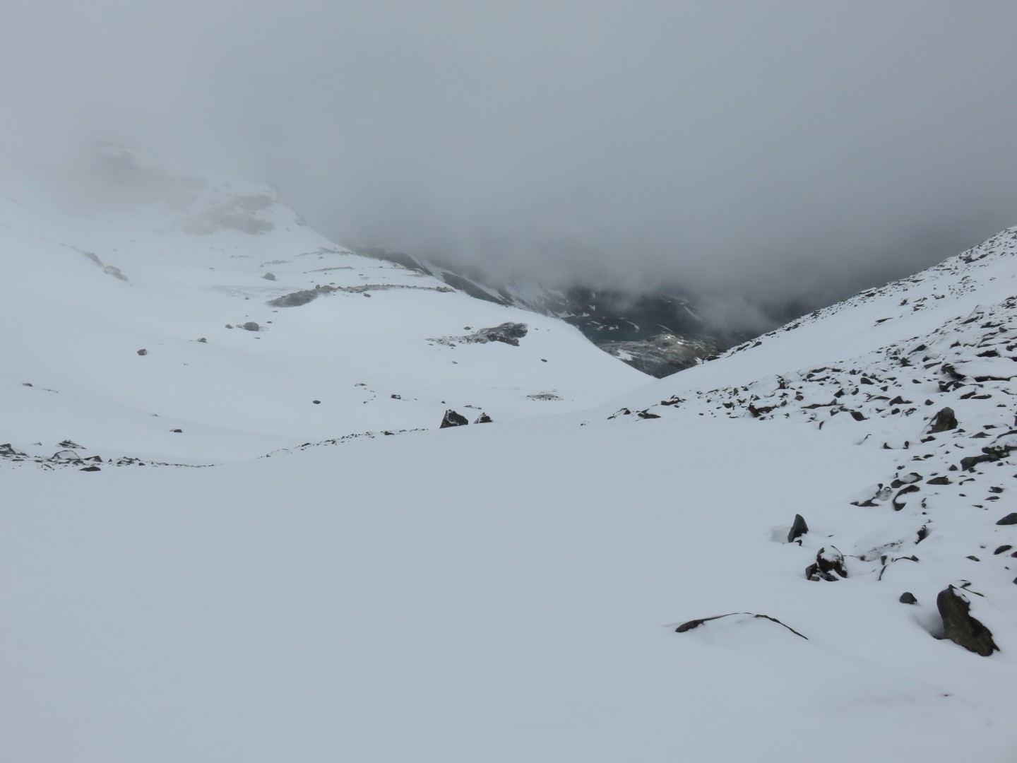
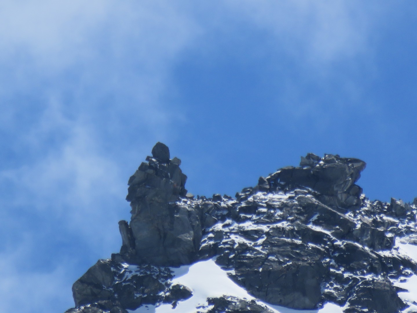
7:07am, looking back at the Cabane de Prafleuri.
The end of the
tunnel covered by a roof, seen as a black box in the center of the
picture.
The clouds were coming up the valley from the direction
of the dam, and they quickly shrouded everything.
There's a trail marker in the lower left hand corner of the
picture. Trail markers in Switzerland are two bands of white
paint with a band of red paint between them. White paint on a
rock
looks just like snow, so the trail markers that weren't covered in snow
were often very, very dificult to find.
Click here for a panorama of Prafleuri
taken at 7:30am
At about this time I started to loose the trail. I couldn't find
any painted trail markers, but I could find kairns, and I started
following the kairns. After at least another 20 minutes of route
finding I realized that I hadn't seen a painted trail marker in quite a
while, so I turned on my MotionX app to verify that I was still on the
trail. I was alarmed to find that I was nowhere near the trail,
and instead was near the base of the Prafleuri Glacier. I quickly
backtracked and within perhaps 10 minutes was back to the place where
I'd lost the trail markers. I checked MotionX again and started
plodding ahead in the general direction MotionX told me the trail
should be. Eventually I found the biker's tracks and a few
painted trail markers, and began making forward progress again. I
had lost a considerable amount of time already and I hadn't even gotten
to the first Col.
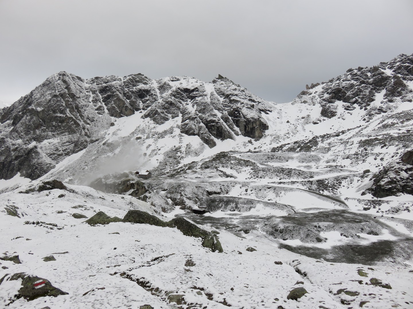
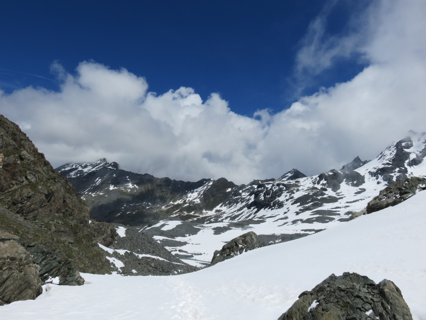
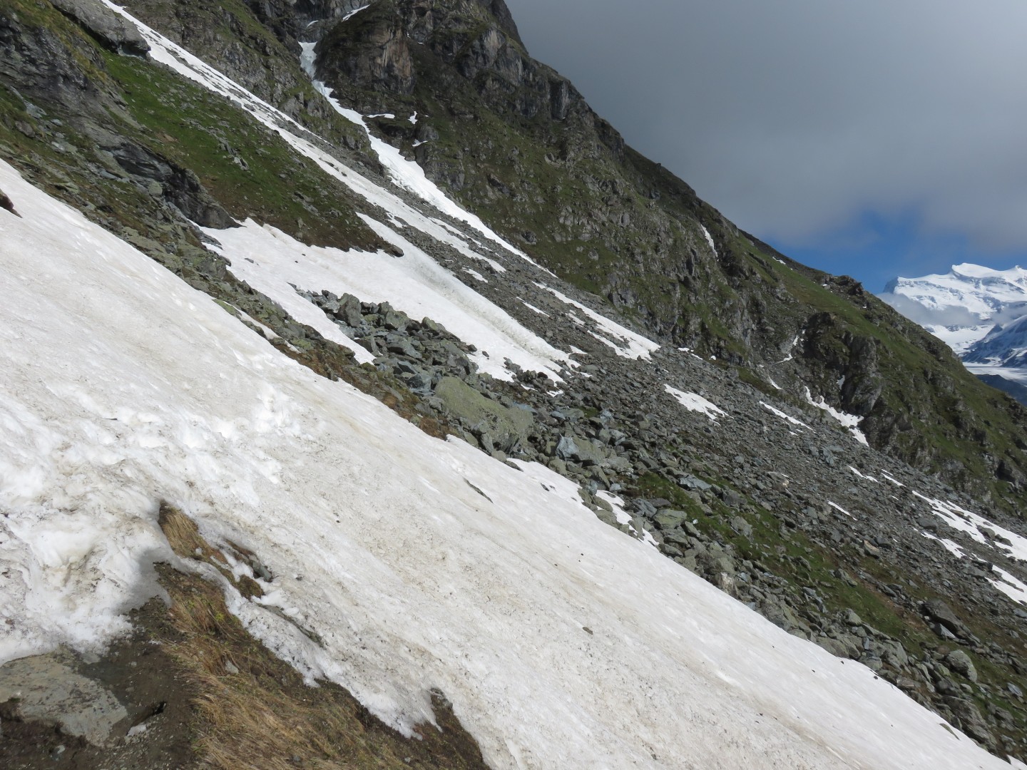
8:38am - looking back to Prafleuri
The trail back is the more or less snow free patch on the right side of
the picture.
I was making very, very slow progress finding the trail and getting up
the Col de Prafleuri
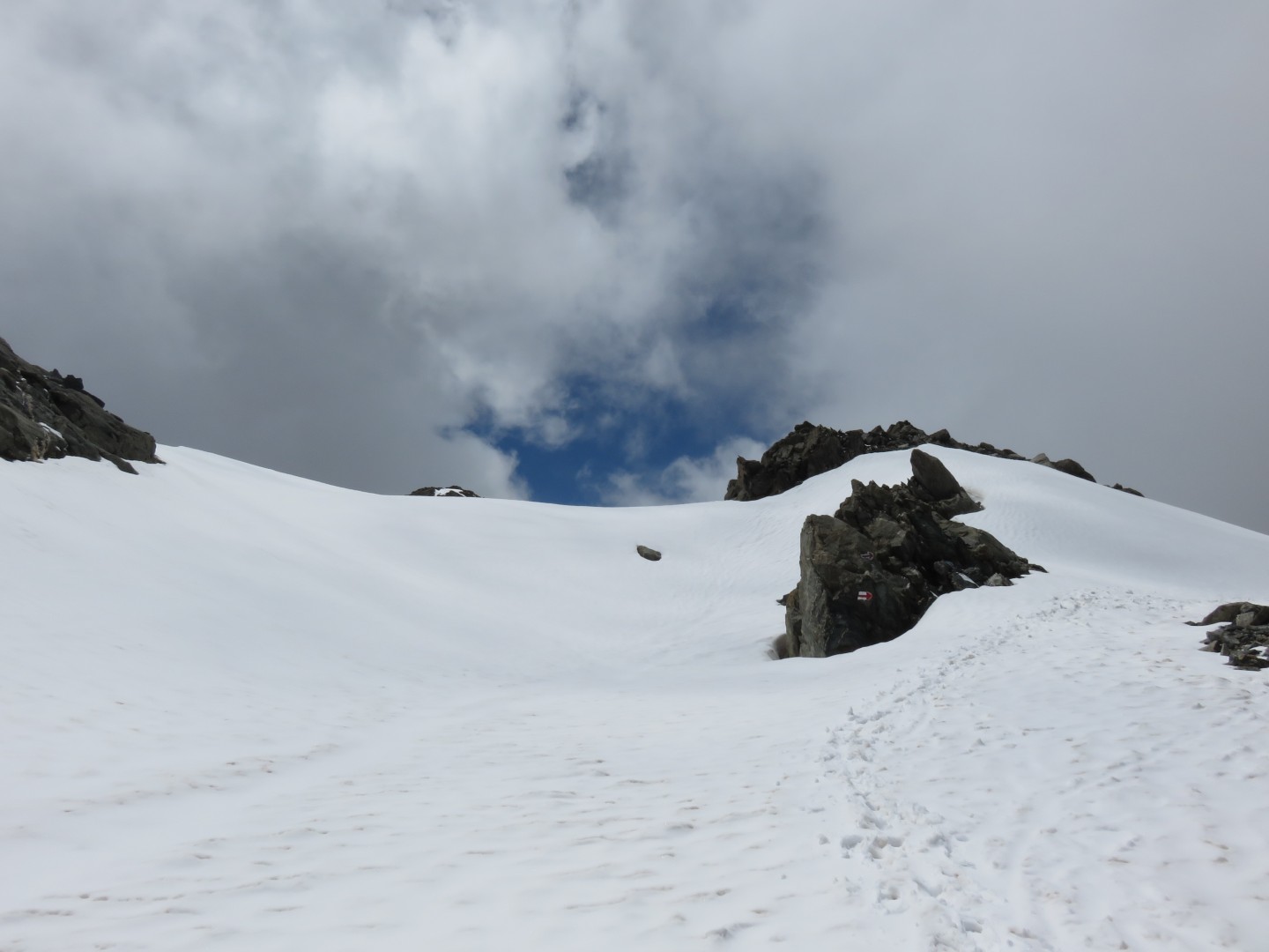
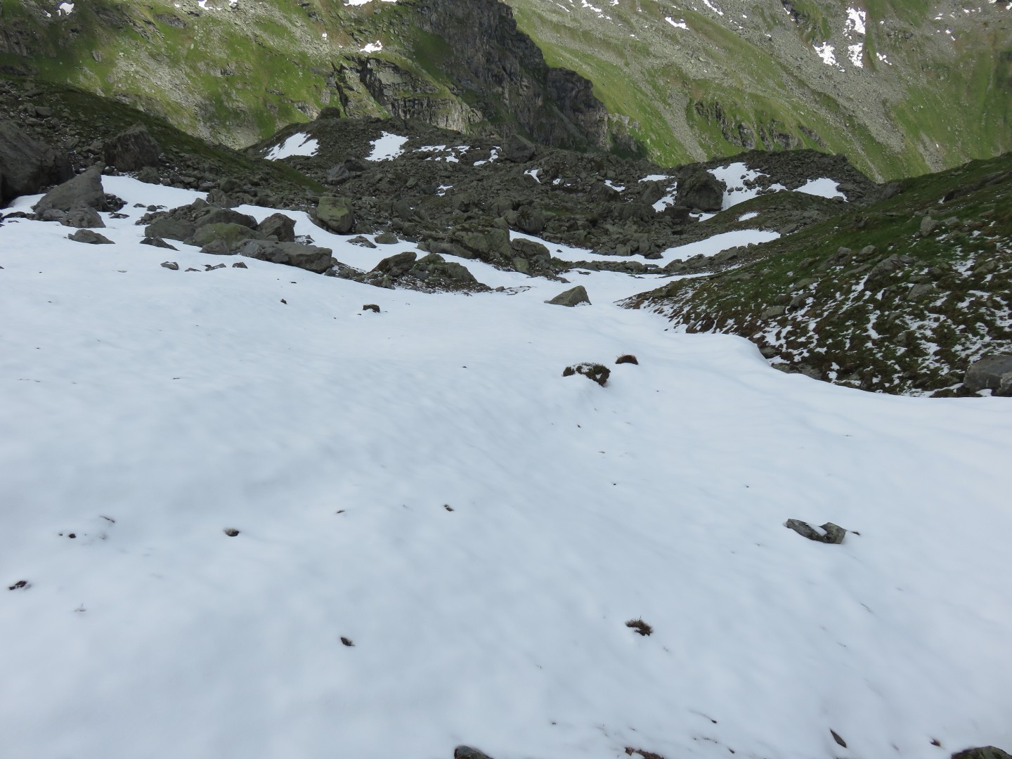
8:38am - the trail forward in the snow
Finally, after what seemed like an eternity, I reached the top of the
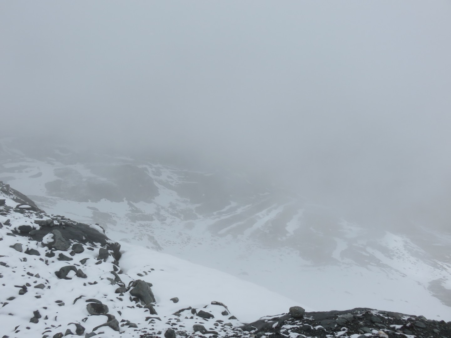
Col de Prafleuri. There wasn't much wind, and there wasn't much
snow, but the clouds made the conditions near whiteout - I could see,
but poorly.
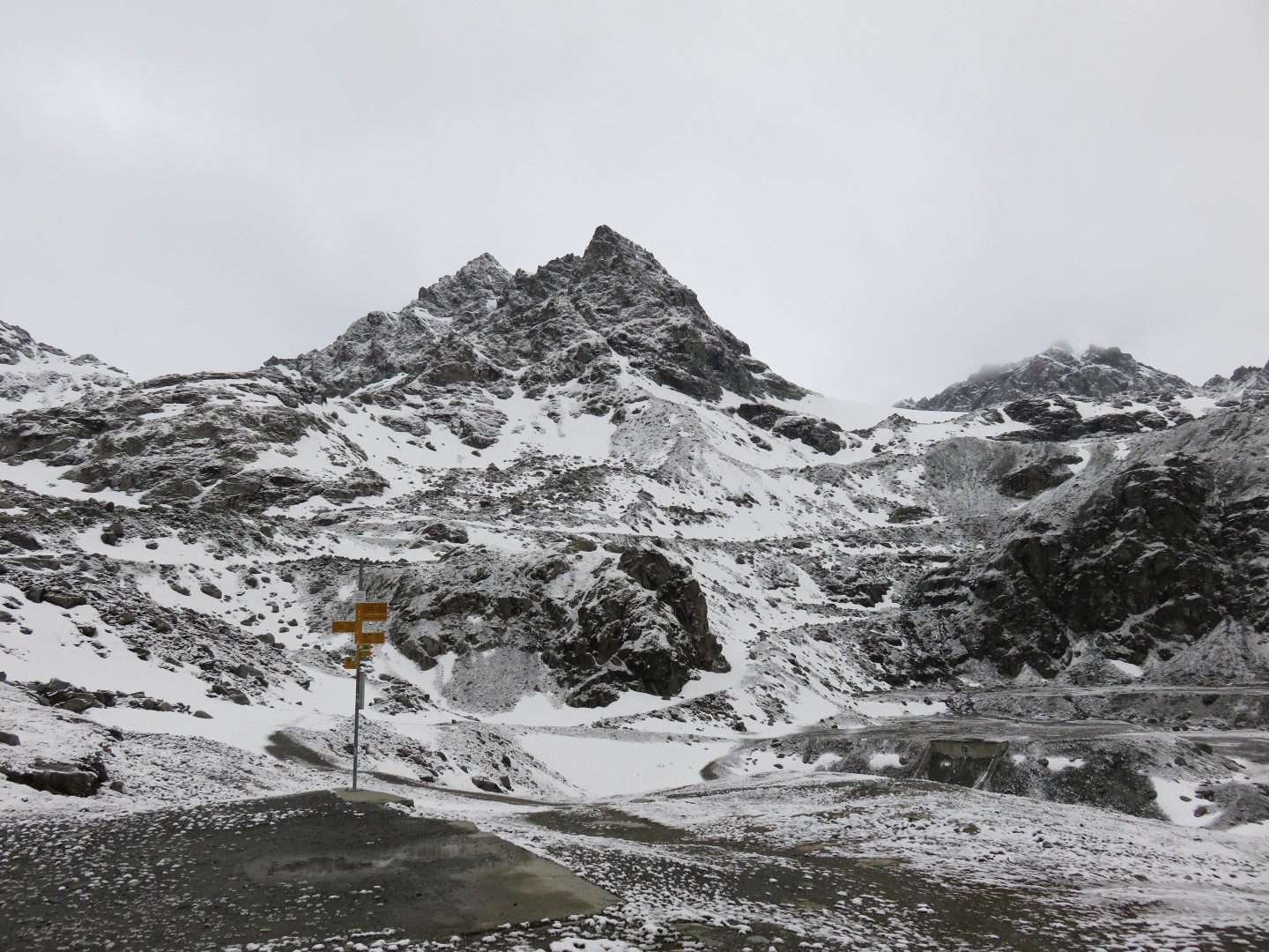
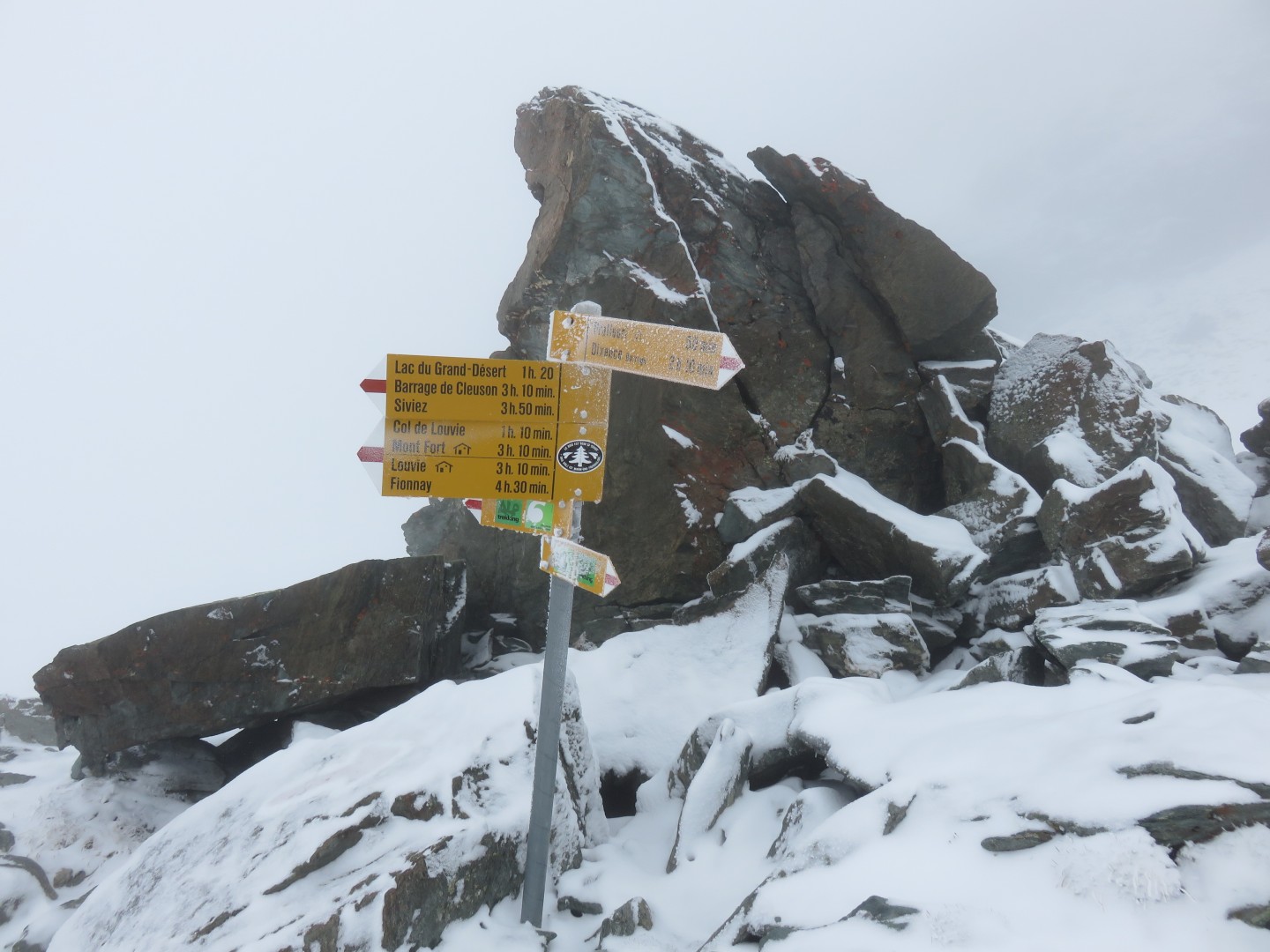
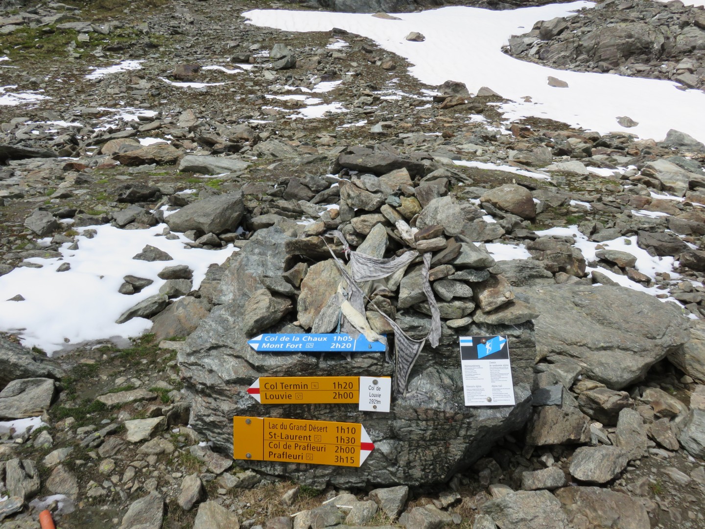
9:18am, finally at the Col de Prafleuri.
It had taken me 2-1/2 hours to get to the top of the Col.
I had assumed I'd be on top in an hour or so - the sign in the picture
above says it takes 50 minutes to get to the Cabane de Prafleuri.
Note that the same signs say it takes 3 hours and 10 minutes to get to
Cabane du Mont Fort, my tentative destination for the evening.
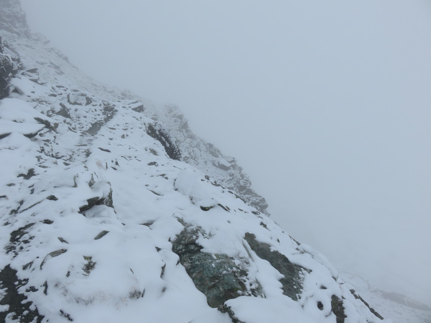
Looking back on the trail I had just climbed up to the top of the Col.
Looking back toward Prafleuri.
The signs say this is the route forward toward the Grand Desert.
It is important to note that there is not a formal trail ahead, it is a
route, and you need to be able to find the route to move forward.
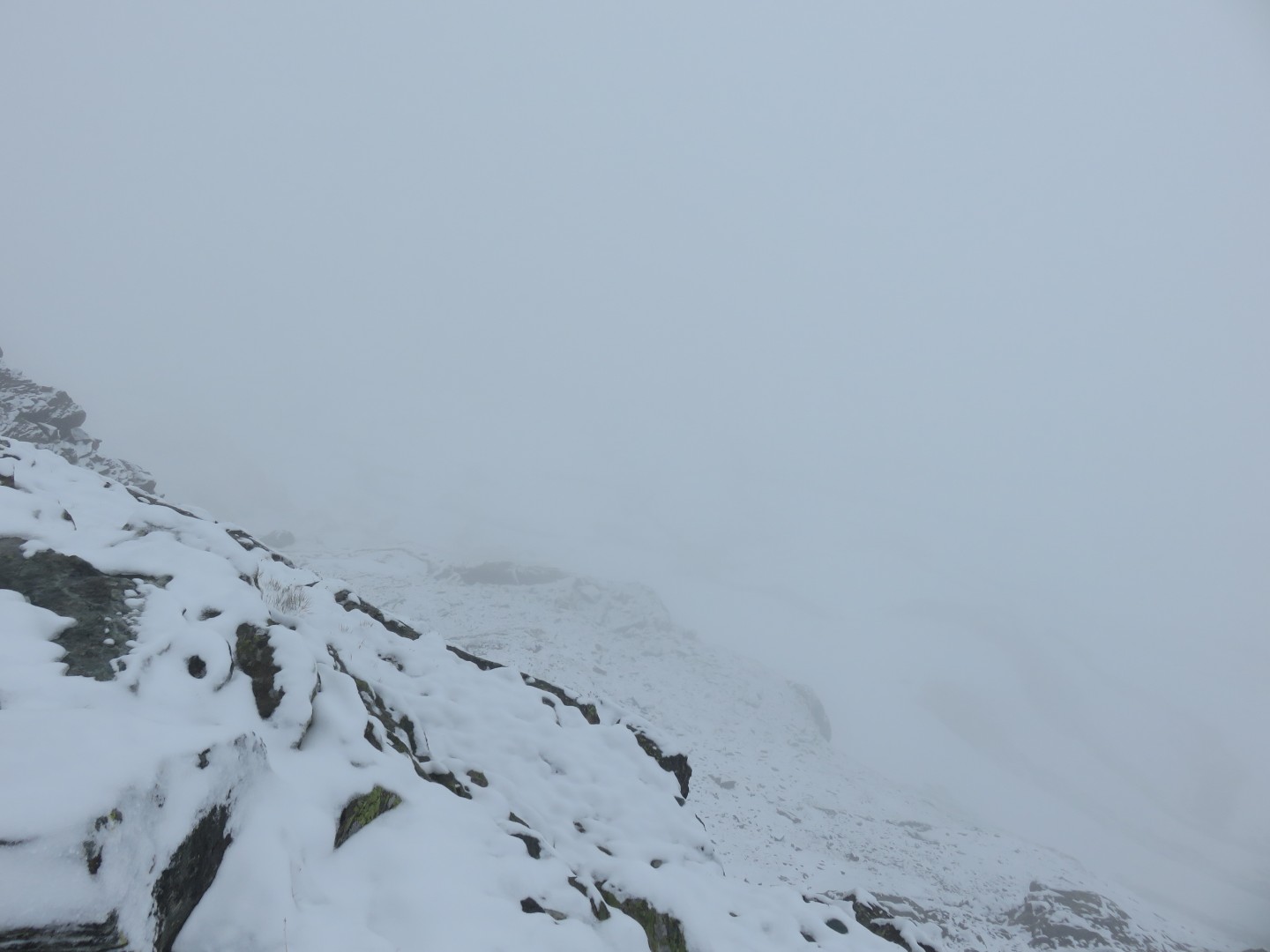
I nearly turned back, but decided to see if I could find the
route. I started postholing downhill for a few minutes before one
of my legs went in much deeper than expected and my way too heavy pack
shifted and nearly took me down. That scared the hell out of
me. I yanked my leg out of the hole and climbed back to the top
of the Col in a near panic. I gathered myself for a few minutes
before deciding on one last attempt to find the route forward. I
picked a slightly less steep line down the mountain and had no real
dificulty. Within a few minutes I found a painted trail marker
and celebrated the re-discovery of the route. I proceeded
downhill into the trackless white.
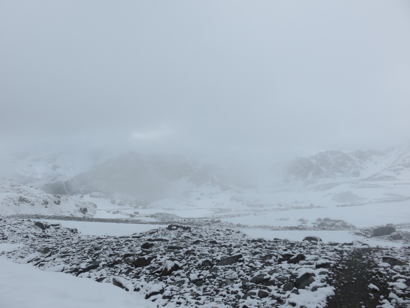
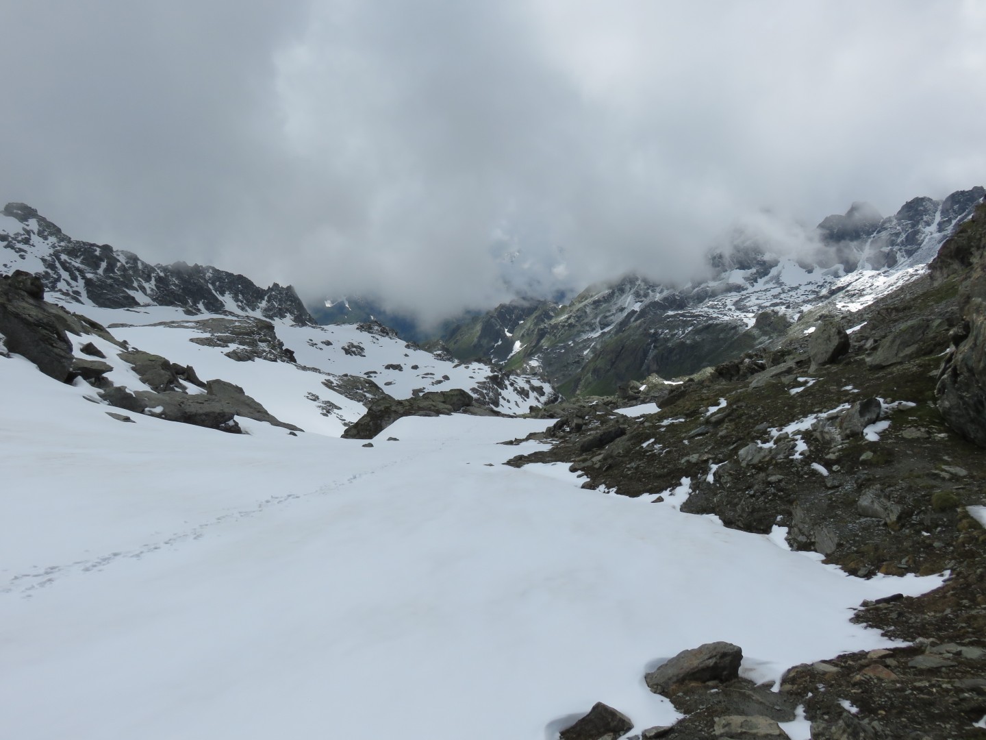
At 9:45am, about 15 minutes after I started downhill into the white,
the clouds broke up briefly.
I was quite happy to be able to see anything, and I assumed the route
went downhill into the valley.
9:45am, looking back up toward the Col de Prafleuri.
I was counting on being able to retrace my tracks in the snow if I
needed to turn back.
While the snow made finding the route nearly impossible, it also
provided snowtracks for an easy way back if I needed to turn around.
9:45am - note the two painted trail markers in the left center of the
picture.
I proceeded downhill, and then I proceeded downhill into the valley of
Grand Bandons for a few minutes since this had to be the way ahead,
right? After a few minutes into the head of the valley I decided
to check MotionX again just to be sure.... The GPS told me that I was
way off course, and the actual Haute Route was well above me in the
vast trackless white. I clammered back uphill in a near panic to
get back on track. It wasn't scary being on route alone in
trackless snow in near whiteout conditions in the middle of nowhere,
but it was certainly scary finding out that you are offroute alone in
trackless snow in near whiteout conditions in the middle of nowhere.
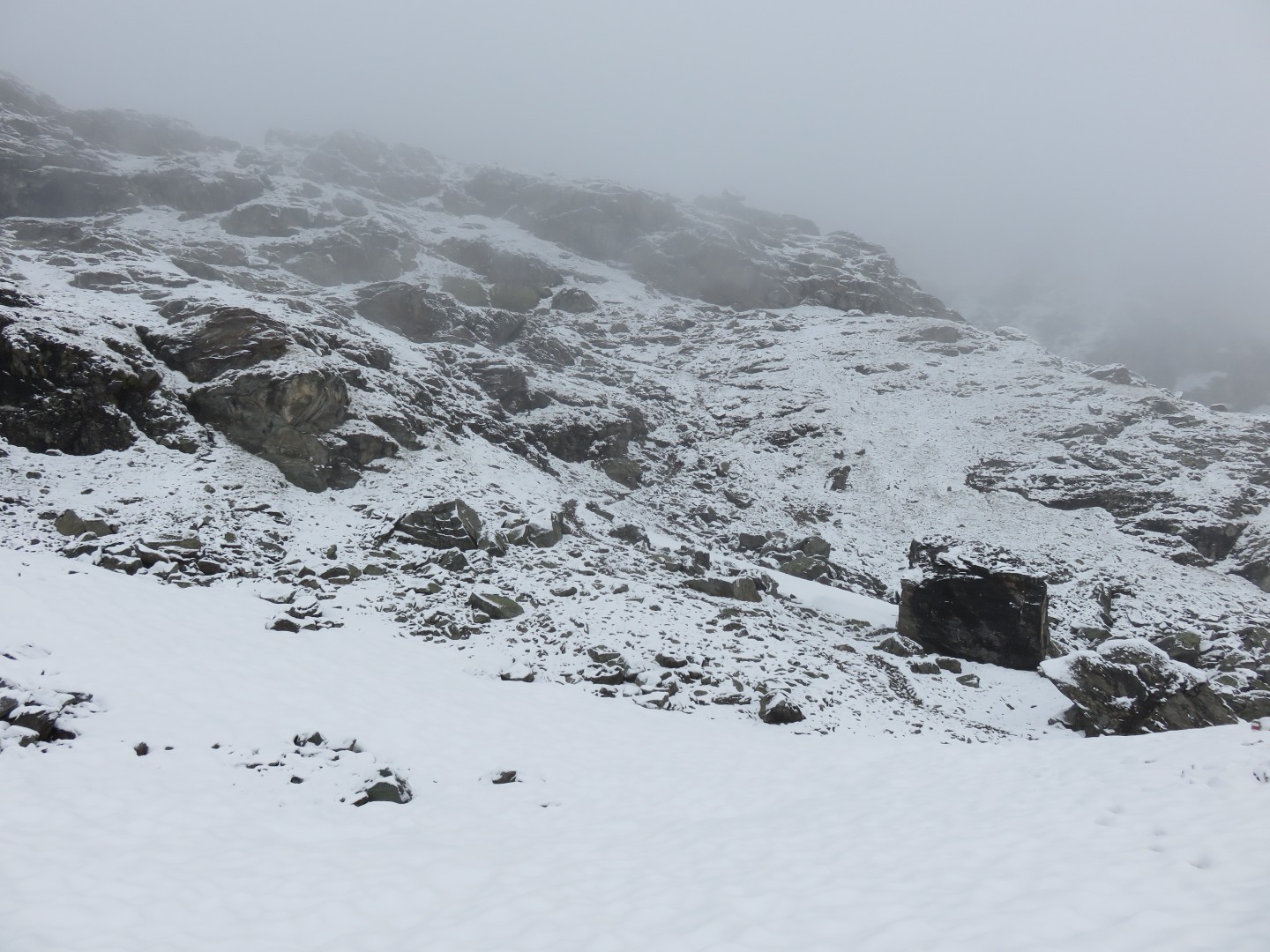
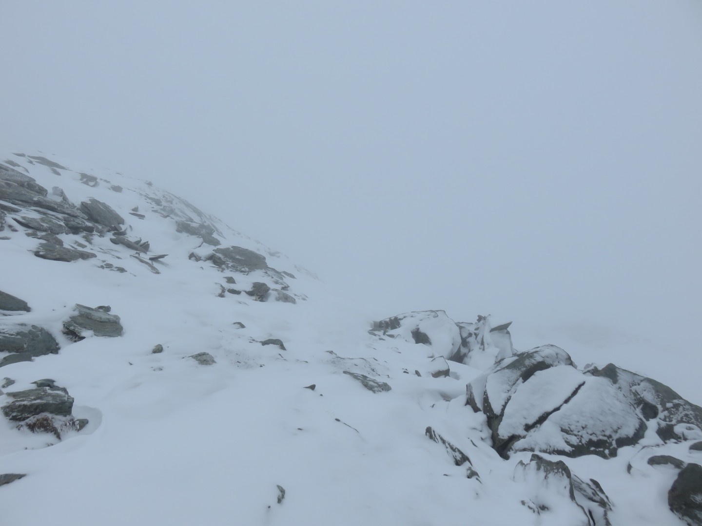
I couldn't find any sign of the route forward for quite a while.
I would find a painted trail marker or two, then nothing for 10 or 20
minutes at a time. I picked a higher line on the mountain since
the GPS told me the route was up there somewhere. I postholed
once badly, dropping me to my knees, sending the pack forward, and
sending my water bottle rolling downhill in the snow for perhaps 50-75
yards. I quickly considered it 'gone', but then decided another
GPS check was in order. The GPS told me the route was below me,
so I followed the water bottle down the hill, recovered it, and plodded
on in the general direction of the route forward.
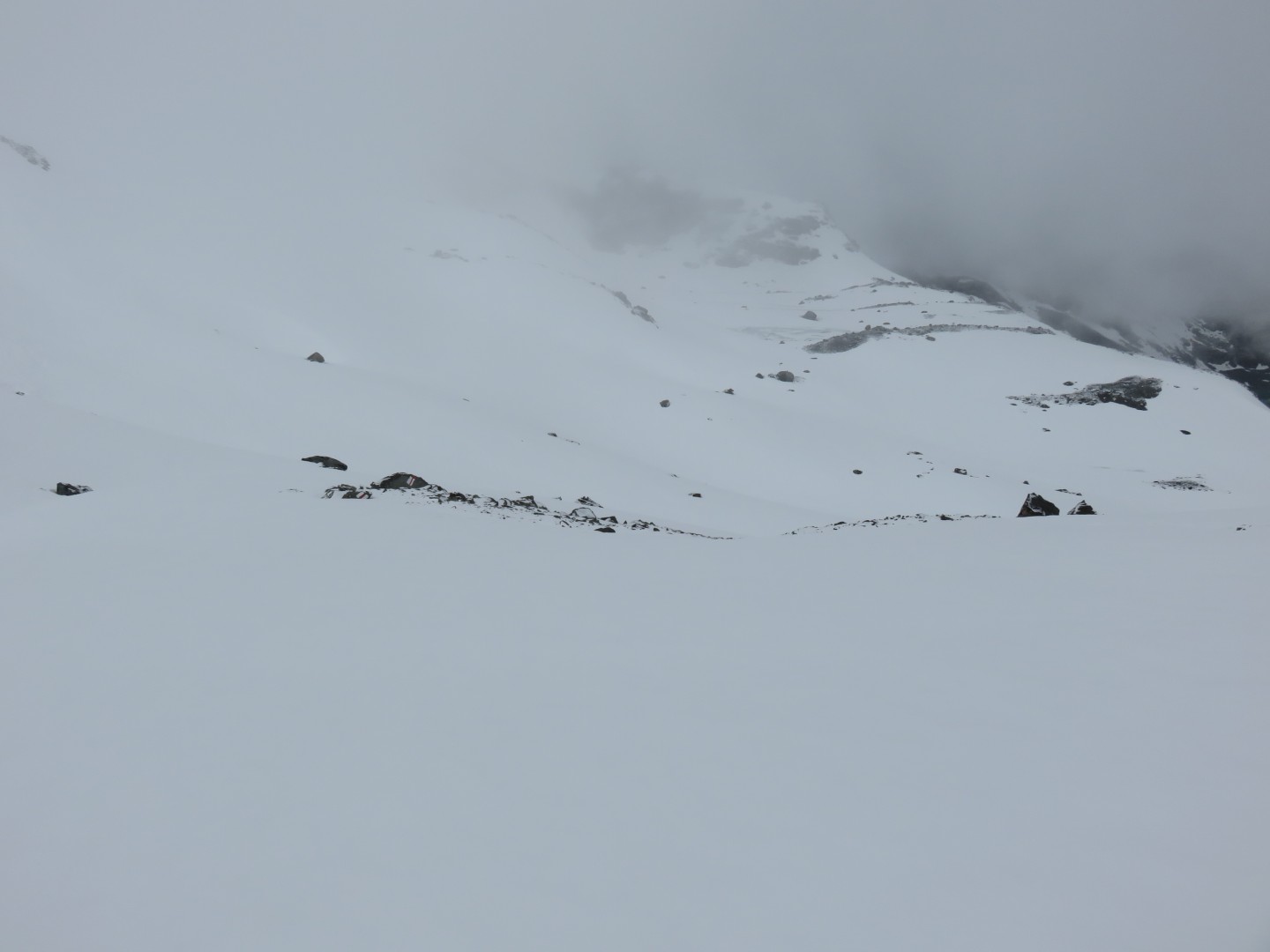
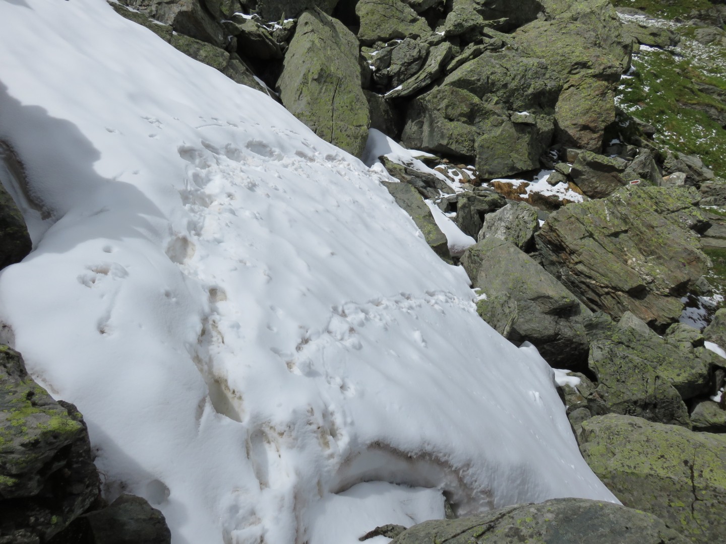
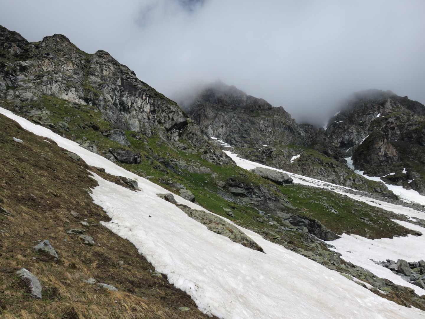
10:36am - do you see the painted trail marker ahead?
There were a few rock bands that provided trail markers and an easy
route forward, but nearly the entire route forward was in the snow and
was unmarked.
Occasionally would find bike tracks from the mountain bikers to guide
my way, but for the most part the route was hidden in the snow.
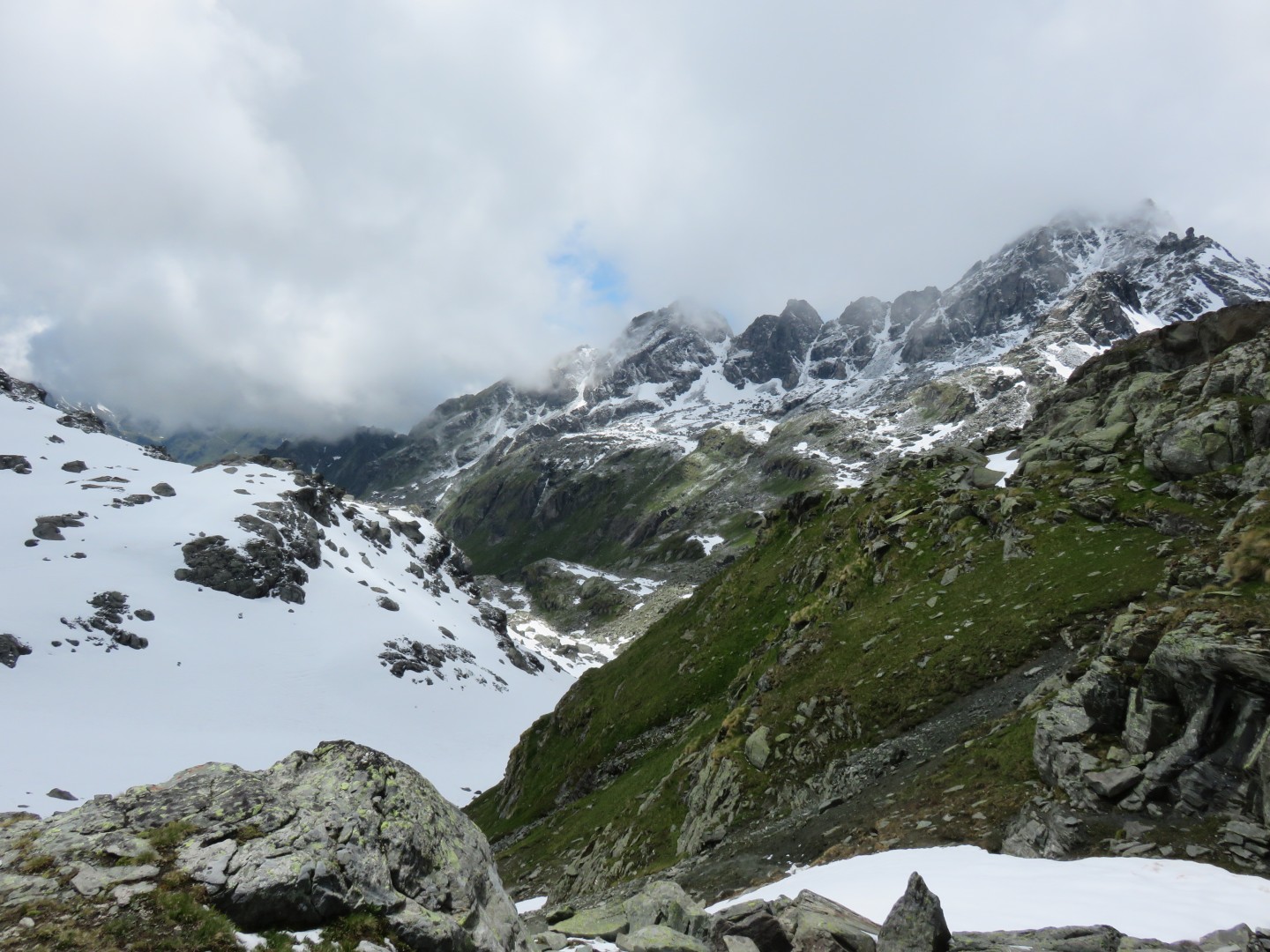
10:36am - I had studied the maps of this area for over two years, and I
had read the route descriptions dozens of times.
What I had failed to appreciate from the maps was that this route
hugged the top of a gentle cliff.
To my left was a mountain in the clouds, and to my right was the void
in the clouds.
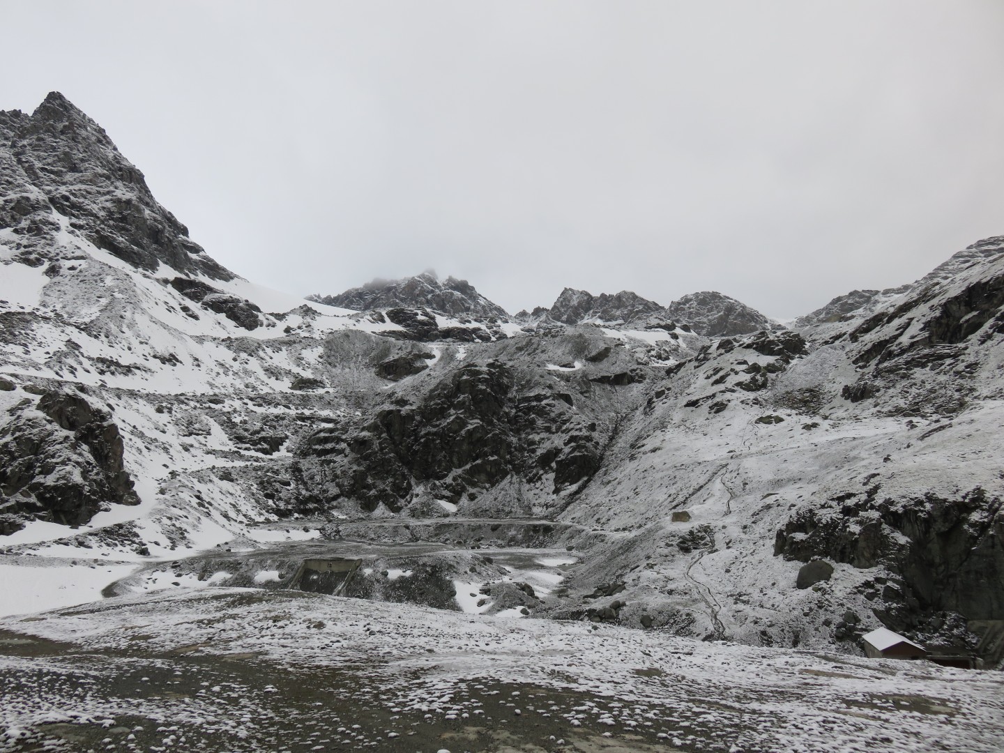
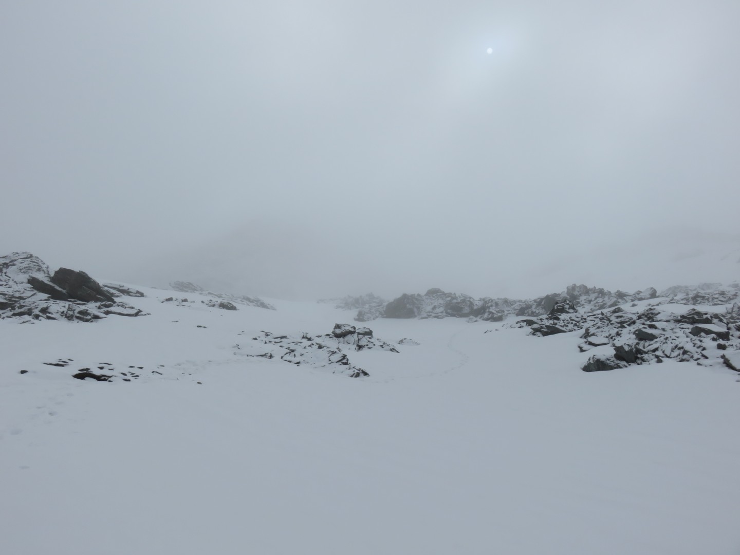
I literally went in circles around a few small glacier lakes at the
base of a steep ridge, even with the GPS on. I spent a good
20 minutes going one
way, then another, and could not determine the route ahead.
Finally the clouds lifted for a few seconds and I could clearly see
huge painted trail markers on rocks on the mountain in front of
me. The route went up the mountain perhaps 50-75 yards in steep
snow, then jogged left in a switchback, then jogged back right in
another steep switchback. Without the break in the clouds I would
not have found the route. Toward the top of the steep snow climb
I decided that I really, really didn't want to have to downclimb
here. This was the end of my ability to turn around safely and/or
easily. I felt as though I was pushing the limit of my abilities
as I carefully moved left one step at a time in steep snow to the
switchback across the rock ridge. I finally made my way up the
switchbacks.
I had turned on the GPS perhaps a dozen times by now to find the
route. My battery was down to abour 44%. I turned my iPhone
to airplane mode every time I put it away to conserve battery. If
I ran out of GPS battery I would have a severe problem.
Perhaps 10 minutes after the switchbacks I saw the outline of another
human appear
over a ridgeline perhaps 75 yards ahead. I was overjoyed to see
another human being for many reasons. The most practical reason
to be happy to see another person was I would be able to follow their
tracks in the snow, and of course they would be able to follow mine as
well. I yelled out to them and they yelled back. They were
4 older gentlemen from Singapore who spoke perfect King's
English. They asked me if the mountain bikers from Verbier had
made it to the Cabane and I proceeded to tell him about their
spectacular entrance
to the Cabane. They commented that the
mountain bikers were quite motivated, which was certainly a polite way
to put it.
11:36am - Picture taken by the Singapore hikers, looking back the way I
had come.
11:36am - Picture taken by the Singapore hikers, looking ahead
It turned out once I had found the Singapore hikers the route ahead was
pretty easy to find.
There were more rocks and more painted trail markers.
It was certainly helpful to have fresh tracks in the snow to follow,
but it was nowhere near as dificult as it had been for almost the last
five hours.
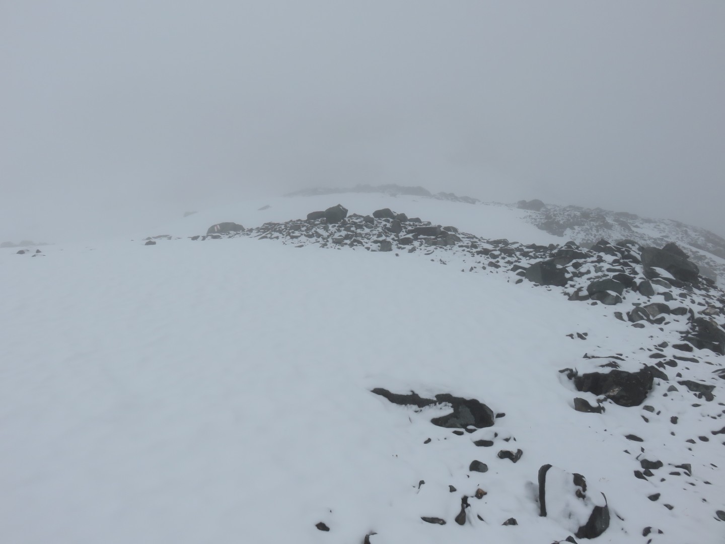
11:49am - the route ahead.
I finally see somewhat clearly for the first time in hours.
11:49am - looking back the way I came. There are a couple of
painted trail markers visible.
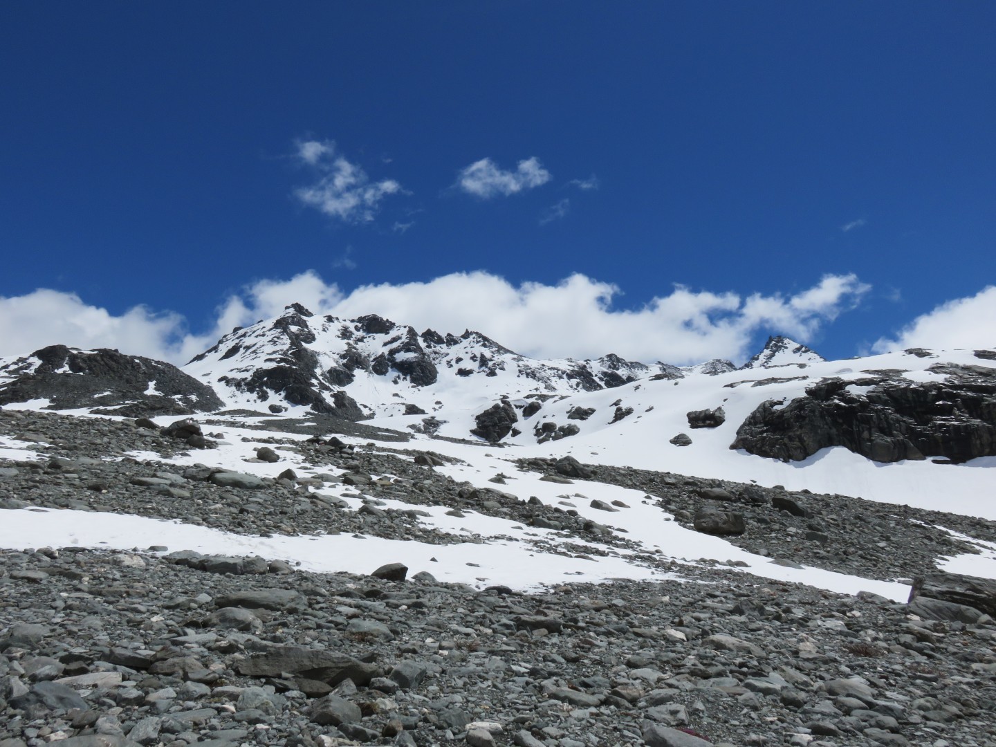
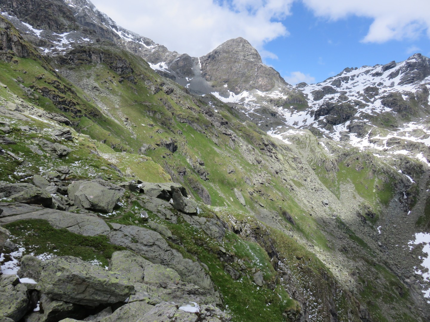
12:02pm - there are several painted trail markers visible... finally
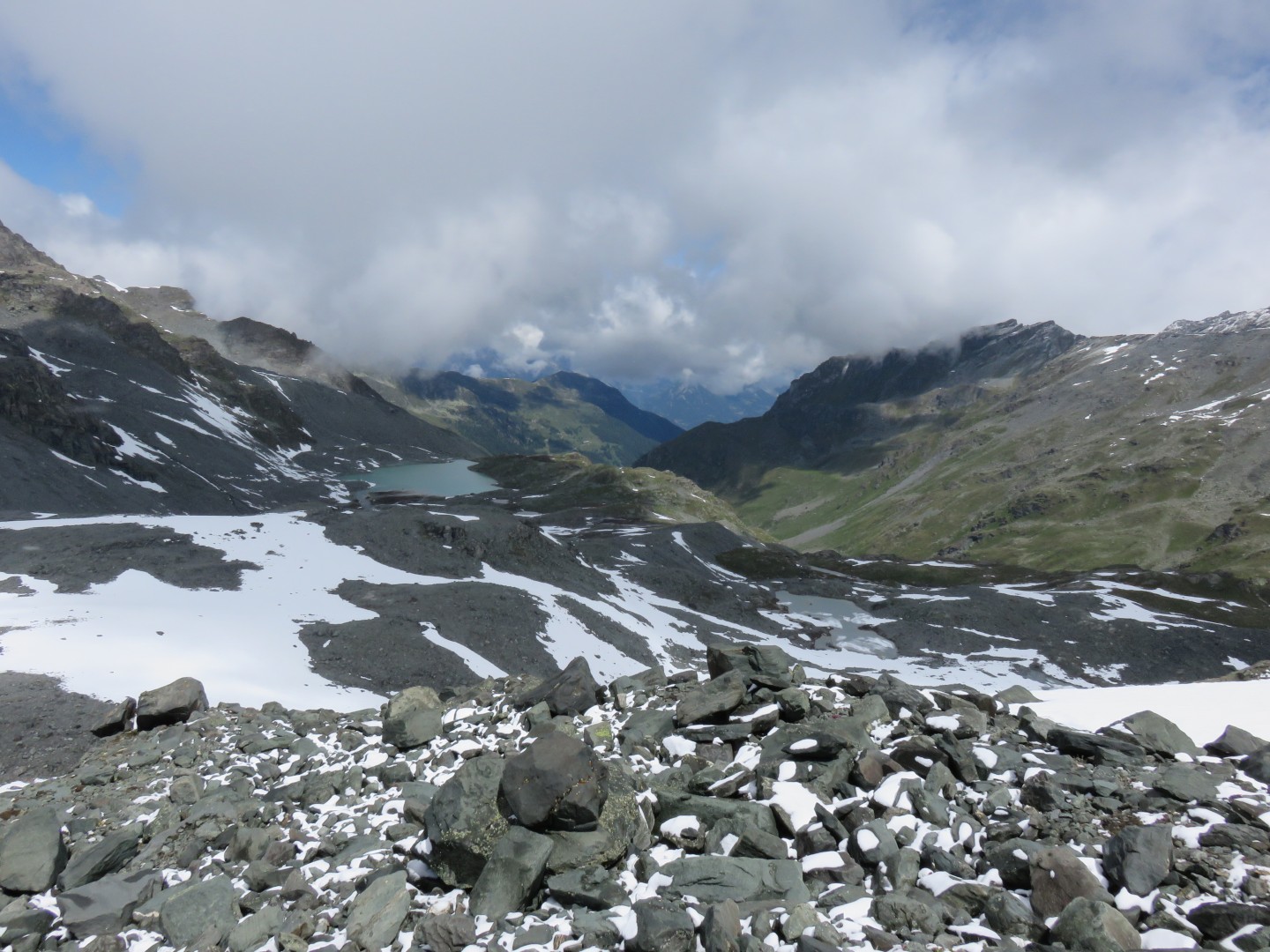
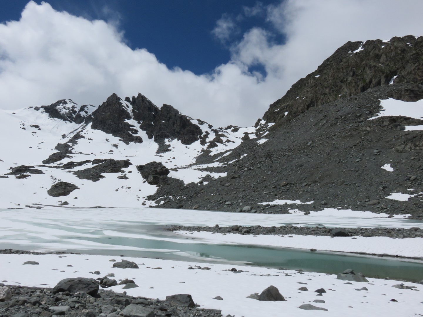
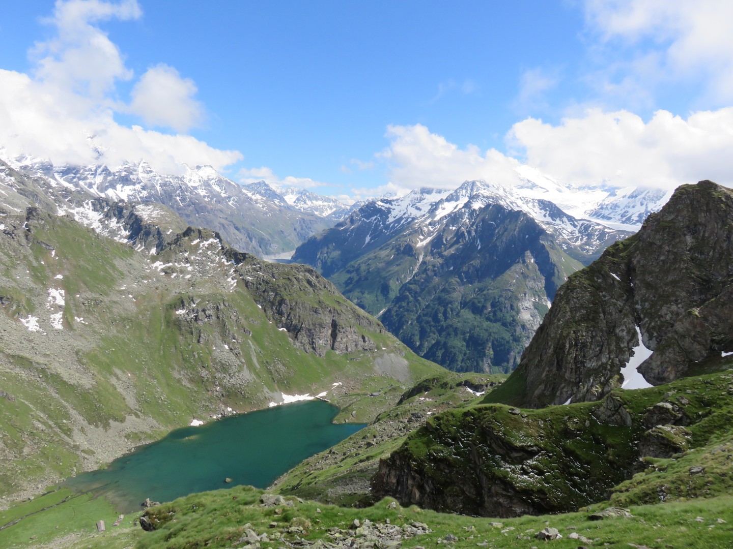
12:07pm - the Grand Désert. Note the painted trail markers
leading off to the right.
12:07pm - Lac du Grand Désert
12:07pm - looking back the way I'd come.
Click here for a panorama of Grand Désert
taken at 12:07pm
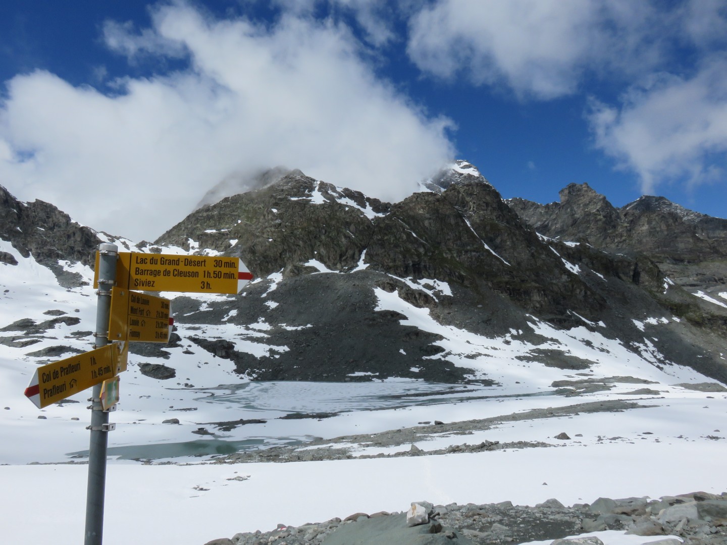
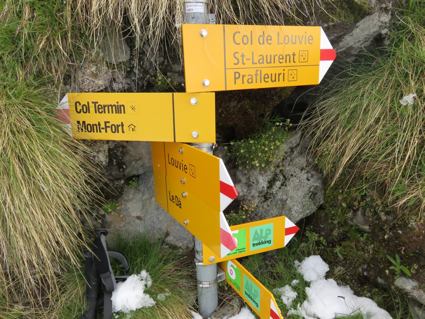
12:31pm
This was the first sign I'd seen since the top of Col de Prafleuri.
Note the times from the signs:
Cabane de Prafleuri is supposedly 1 hour and 45 minutes away - I had
just taken nearly 6 hours to get this far.
I had a very, very
serious problem with my pace.
Col de Louvie is supposedly 30 minutes in front of me, and Cabane du
Mont Fort is supposedly 2 hours and 30 minutes away.
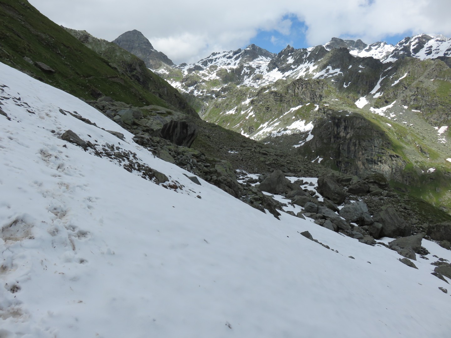
12:59pm
Note the path of rocks across the stream.
The British mountain bikers had warned me I'd get my feet wet on this
crossing.
Perhaps the water level was higher for them, but I had no problem
keeping my feet dry.
Of course my shoes are also waterproof, which makes a difference.
12:59pm
Col de Louvie, the second of the three passes I would cross today
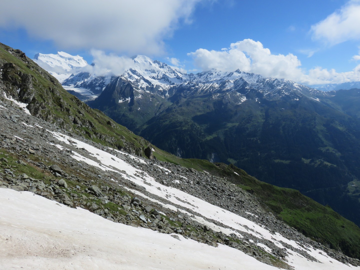
1pm - Looking back to Grand Mont Calme and Petite Mont Calme
1pm - Petite Mont Calme at 30x zoom
I crossed the stream and proceeded to hike up Col de Louvie
1:42pm - looking back toward the Grand Désert from near the top of Col
de Louvie
1:42pm - looking up to Col de Louvie
1:42pm - looking up to Col de Louvie. Note that the route goes
right.
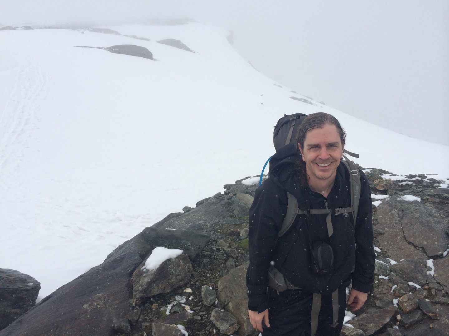
1:46pm - Col de Louvie
It had just taken me 1 hour and 16 minutes to get up the Col de Louvie,
and the last sign I read said it would take 30 minutes.
I left Cabane to Prafleuri nearly 7 hours ago, and this sign said it
should take 3 hours and 15 minutes to get there.
I continue to have a really serious problem with my pace.
1:46pm - I thought this sign was quite appropriate.
1:47pm - looking east, the way ahead, from Col de Louvie
2pm - the way ahead
2pm - looking back up at the Col de Louvie
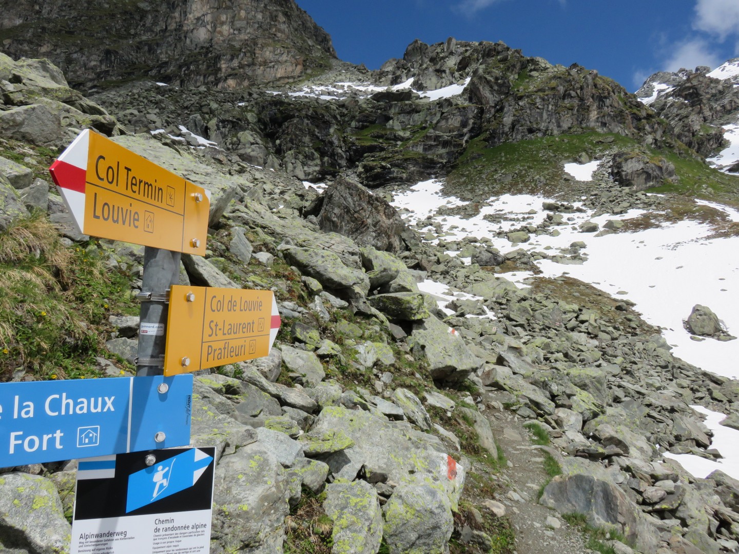
2:21pm - the intersection of the trail over Col de la Chaux.
I had no interest in another high mountain pass, plus the most
picturesque part of the hike was supposed to be the high traverse
across Col Termin
This is where I took off my gaitors.
The gaitors had allowed snow near my socks perhaps once or twice when I
postholed into deep snow, but other than that had performed flawlessly.
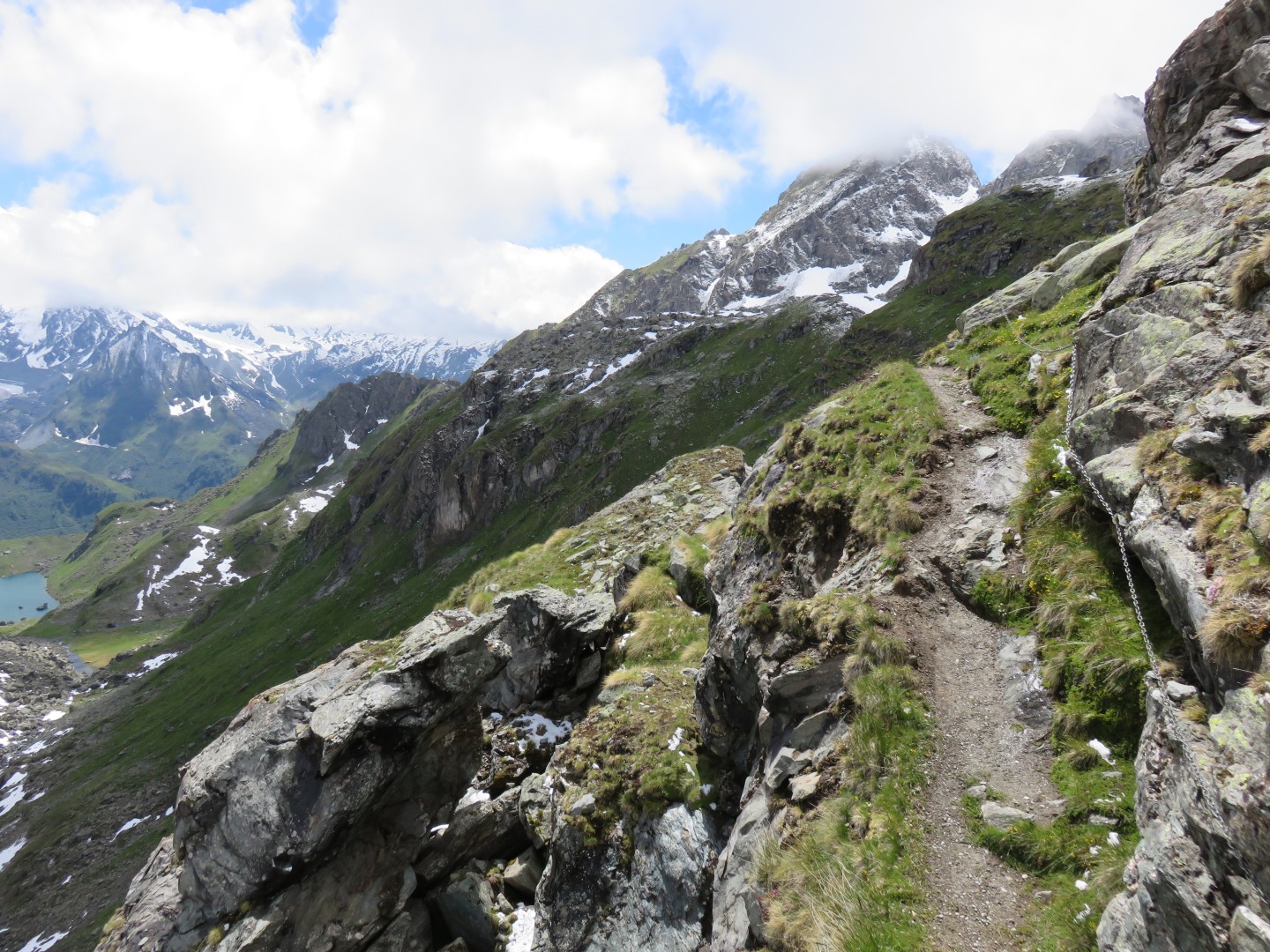
2:53pm - note the chains along the trail. There were chains in
perhaps 4 or 5 spots along the trail. A few times I held my hand
over the chain ready to grab it, but generally the dropoff wasn't steep
enough for me to worry about the chains.
Only once did I gladly reach and grab the chains, and that was after a
short leap I had to make to get over a rock or puddle.
Click here for a panorama of Louvie taken
at 2:56pm
3:03pm
It is starting to become apparent that it will take me forever to
finish this hike.
I really enjoyed the scenery, but the pace was a real problem.
I had always wanted to hike all the way to Verbier to avoid another
night in a cabane, to get a shower, and to avoid having to hike
tomorrow morning into Verbier from the Cabane du Mont Fort.
I was worrying that even if I headed to the Cabane, I may miss dinner
at 7pm.
The last bus left Verbier at 9:15pm - I was starting to worry that this
may be a problem.
I saw large amounts of skat along the trail for a few miles, but
unfortunately didn't see any ibex or chamois.
3:14pm - a very short but very steep snow traverse. I had crossed
a few of these, but the snow was now melting quickly in the hot
afternoon sun and turning to crap, making footing quite treacherous.
3:14pm - looking back toward Col de Louvie. Note the trail on the
left - you can barely see the thin ribbon of dirt. The trail
averaged around 10" - 12" wide at most.
3:40pm - intersection of the trail to Lac de Louvie and Cabane de Louvie
3:51pm - I had just crossed a lengthy snow traverse. The snow
wasn't too steep, but a slip would most likely have been fatal
nonetheless.
3:51pm - looking down after the snow traverse
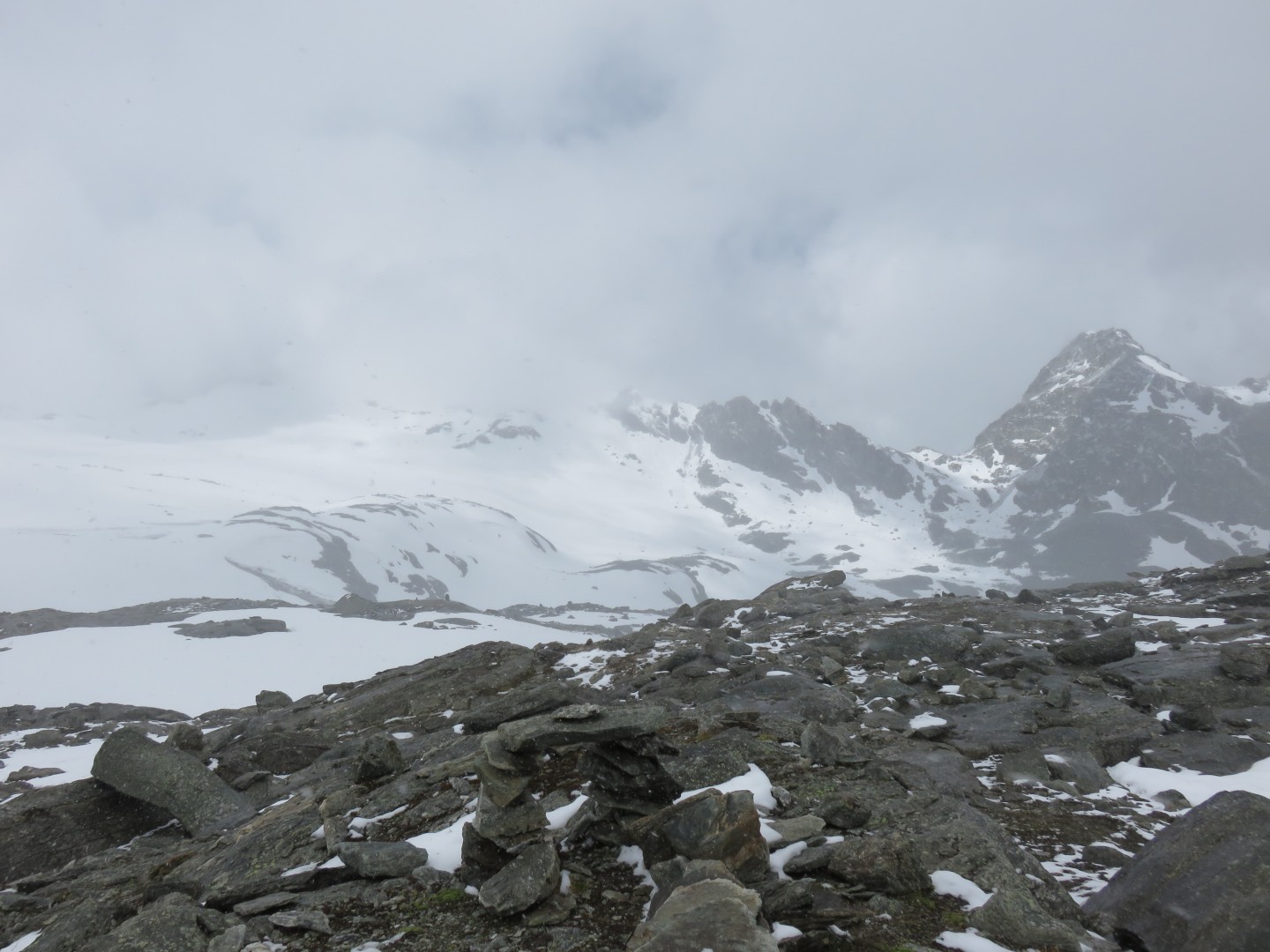
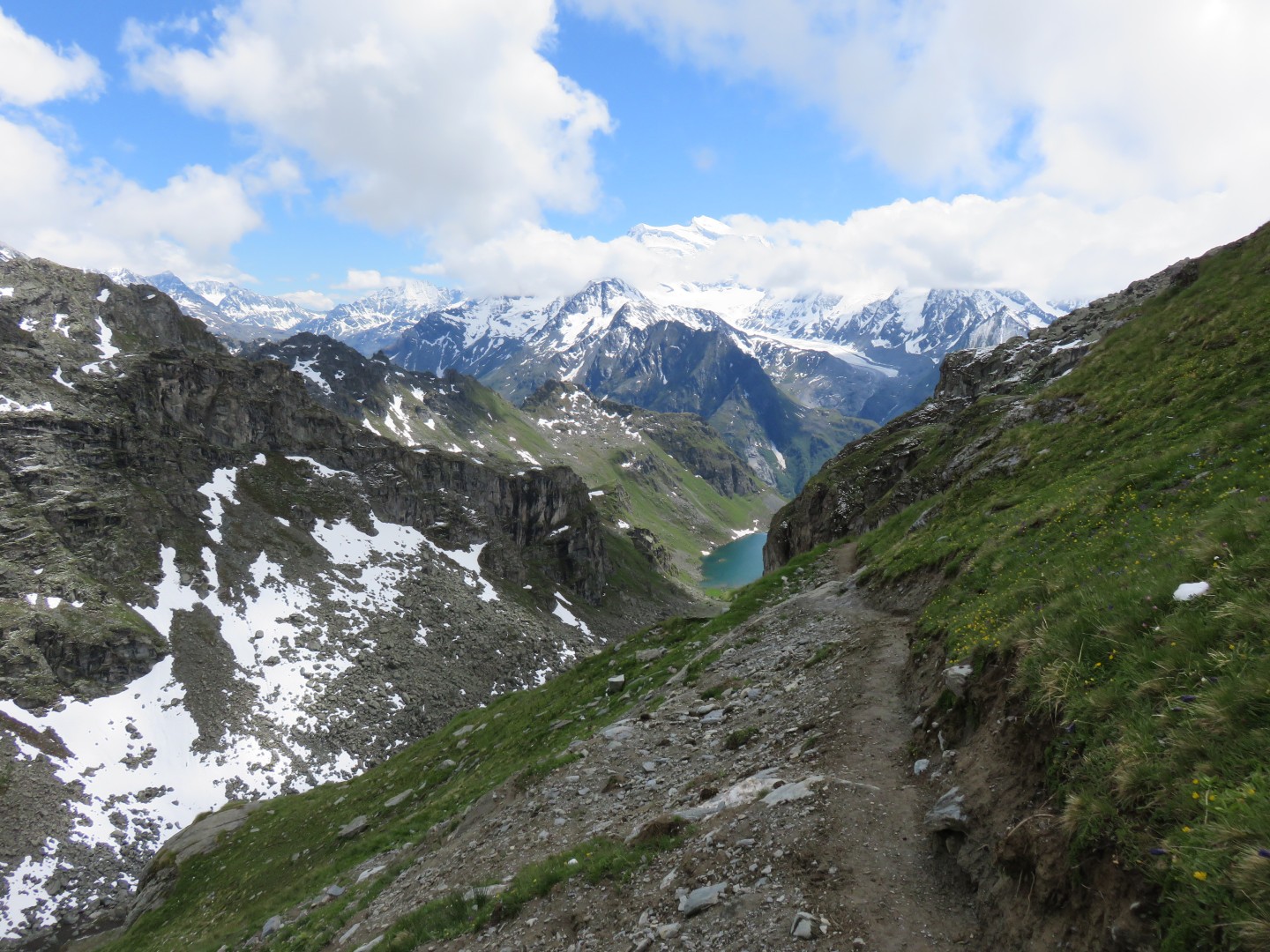
4:01pm - Lac de Louvie
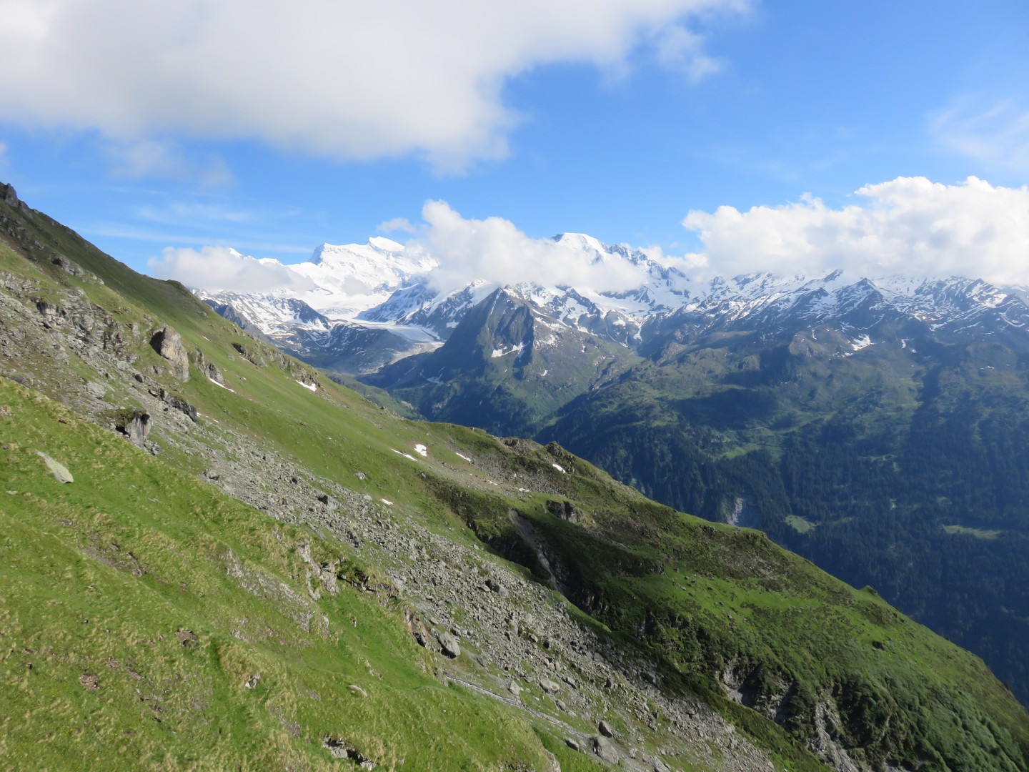
Cabane de Louvie is at the far end of the lake
Mont Blanc de Cheilon is hidden in the clouds to the left of the dam
that is barely visible across the valley
The dam across the valley is Mauvoisin
Grand Combin is hidden in the clouds to the right of the dam that is
barely visible across the valley
Click here for a panorama of Louvie taken
at 4:01pm
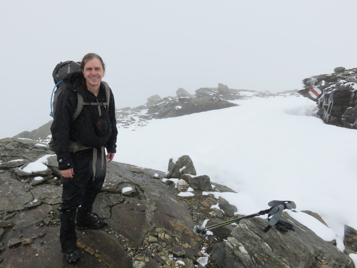
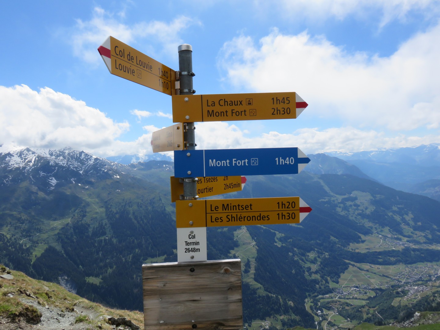
4:13pm - Col Termin
I was so happy to cross the third and last pass of the day and to
enter the same valley as civilization that I let out a yell.
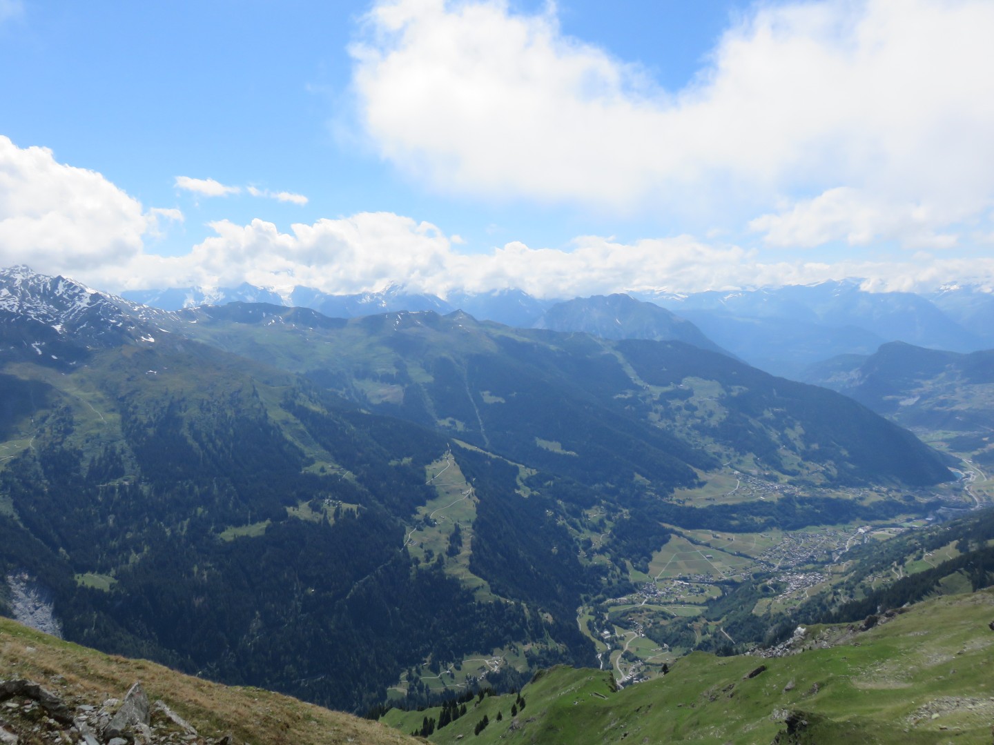
4:13pm - Val de Bagnes
4:13pm - The trail ahead.
It appeared to go on fovever.
I was now extremely concerned about the schedule.
I started hiking as quickly as possible
After a short while I had to hike across yet another short snow
traverse.
Unfortunately it was very steep, and the snow was complete
crap.
I was exhausted and very, very concerned about the footing.
While I was traversing a young couple approached from the other
side.
They were headed to Cabane de Louvie, and they told me about a much
bigger and more dangerous traverse ahead that was 100 meters long.
They mentioned that the area is so dangerous that a sign indicates
stopping is
prohibited.
They said I would be able to use the footholes they had just dug into
the snow.
In about 10 minutes I got to the snowfield below Bec Termin the couple
had
warned me about.
Sure enough, signs said stopping is forbidden because the mountain is
so unstable.
I searched for a few minutes but could not find any recent footholes in
the snow.
The snow traverse went on much longer than I was comfortable with.
It was not quite as steep as some of the other shorter traverses, but
the snow was now a melted mess and I was exhausted.
I decided to put on my crampons, which took a good 15 - 20
minutes.
I decided I'd feel pretty stupid if I slipped and fell to my death with
perfectly good crampons buried in my pack.
Once the crampons were on I gingerly made my way across the snowfield.
It took perhaps another 20 minutes to cross the snowfield, and another
10 - 15 minutes to take off the crampons and put them away.
While I was taking off the crampons a boulder dropped from the mountain
above, bounced down the mountain, and crashed across the snowfield I
had just crossed.
I guess they weren't kidding, this spot really is quite dangerous.
5:37pm - after the long snowfield. It was much longer than the
picture makes it look.
5:37pm - looking up the mountain. The boulder broke free from the
mountain at the upper right hand side of the picture.
5:37pm - looking down the long snowfield
5:37pm - Grand Combin
Shortly after the snowfield I reached the intersection of the trail up
to Cabane du Mont Fort and the trail down to Verbier.
I realized there was no way I would reach the Cabane in time for
dinner, and I wanted nothing to do with any more snowfields.
I checked the map, then immediately decided to head down toward Verbier.
6:03pm - Grand Combin
The trail crossed a stream and dropped into Les Shlerondes, which is a
collection of about 5 buildings along a mountain road.
At this point I wasn't sure where the trail went - it appeared to
follow the road, but there were too many trails.
I followed the road, hoping it was the correct trail, and it was.
The trail went back into the hills and tree, and continued to rise and
fall.
Hiking uphill now was a real challenge.
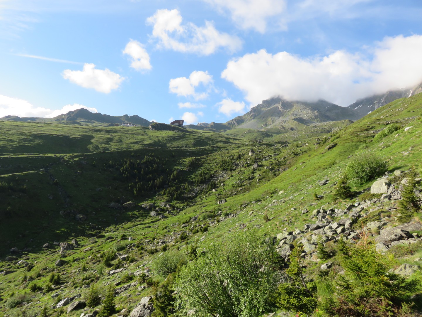
7:15pm - La Chaux
I couldn't believe I was just now getting to the gondola.
I tried my best to maintain a fast pace but was fading fast.
I took virtually no more pictures because I was very tired and in a
hurry
I finally started to do some basic math in my head.
Col Termin is 2648m
Verbier is around 1500m
That means that I am now hiking down over 3300' vertical in addition to
hiking way, way too many miles.
I ran into a few people along the road and asked everyone if there was
a hotel closer than Verbier - the answer was of course 'no'.
One gentlemen suggested I camp out, and I seriously considered it.
I reached a covered beautiful picnic area with grills and a picnic
table, and almost decided to sleep under the picnic table.
The signs continued to tell me I was over an hour away from Verbier.
I was now dangerously tired and dragging the hiking poles along the
road.
My shoulders hurt badly from carrying a very, very heavy pack for way
too many miles.
I hadn't taken any ibuprofen since morning.
I also hadn't eaten anything substantial all day.
I found a huge mountain bike park.
There were retractable nets that ran along all the roads to prevent
cyclists from crashing into the trees.
There were advanced bike pathes that pedestrians were warned to stay
away from (else you get runover by a mountain bike rounding a blind
corner at 20 mph)
The mountain bike park went on for perhaps 45 minutes, and basically
went all the way into Verbier.
At 9pm, I was still over half an hour from Verbier.
Dusk was setting in as I realized I had missed the last bus down to Le
Châble.
I started to think I might have missed my best chance for a good nights
sleep, and that I should have bedded down under the picnic table a few
hours back.
At 9:45pm I finally got to Verbier, then started to wander into town.
I was very worried that I wouldn't find anyone open this late.
I wandered up to the first hotel I found, the Hotel de la Poste.
I believe I caught the front desk clerk right before she was leaving
for the evening.
She had a room available for only 70CHF including breakfast.
I would have paid double or triple that but I didn't tell her.
I took a bath, wrote a lengthy trip report on my iPhone, and eventually
fell asleep after midnight.
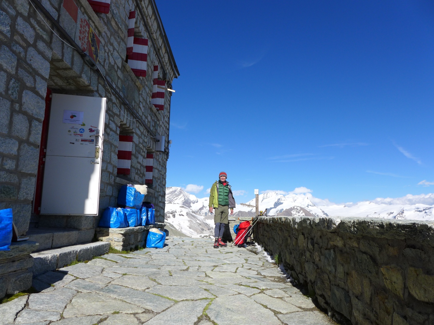
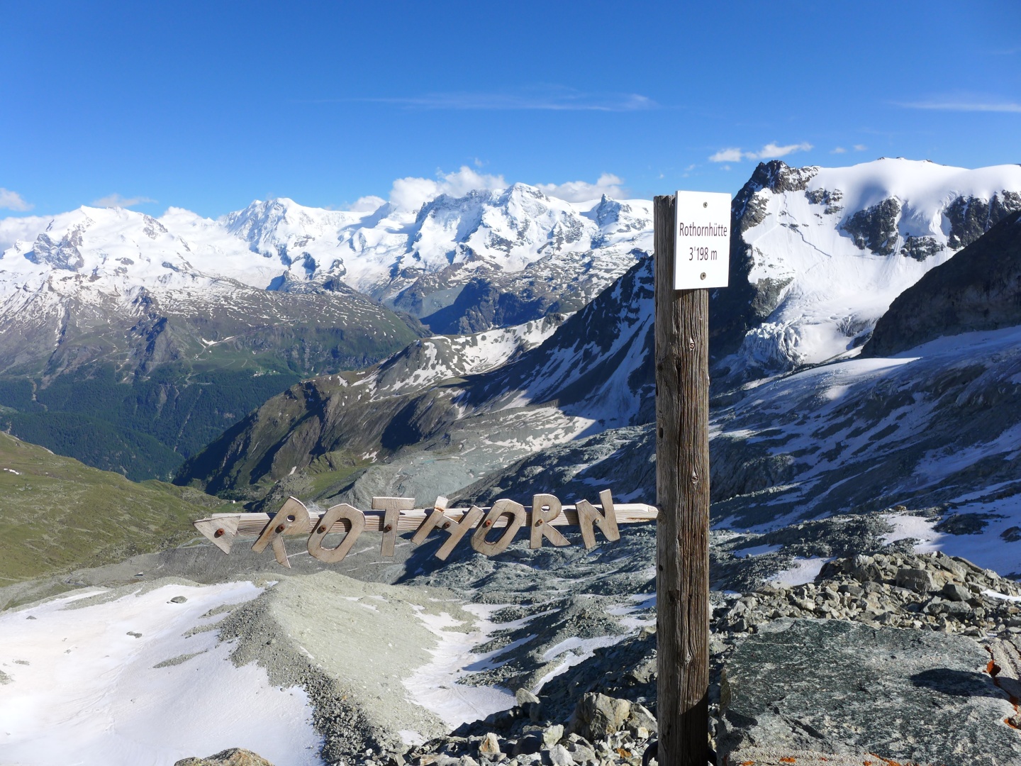
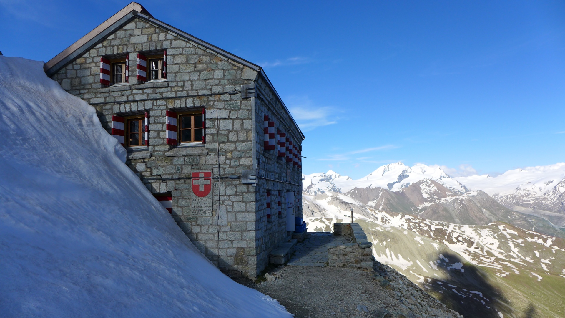
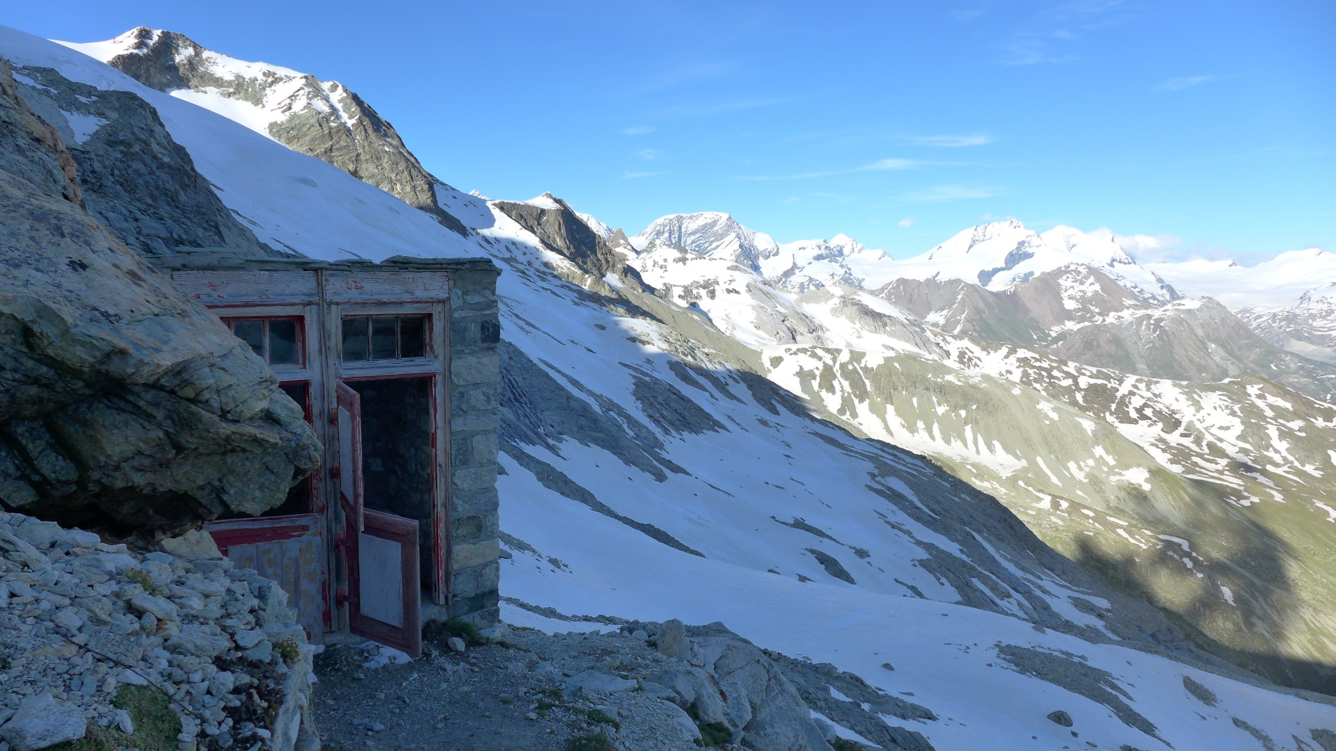
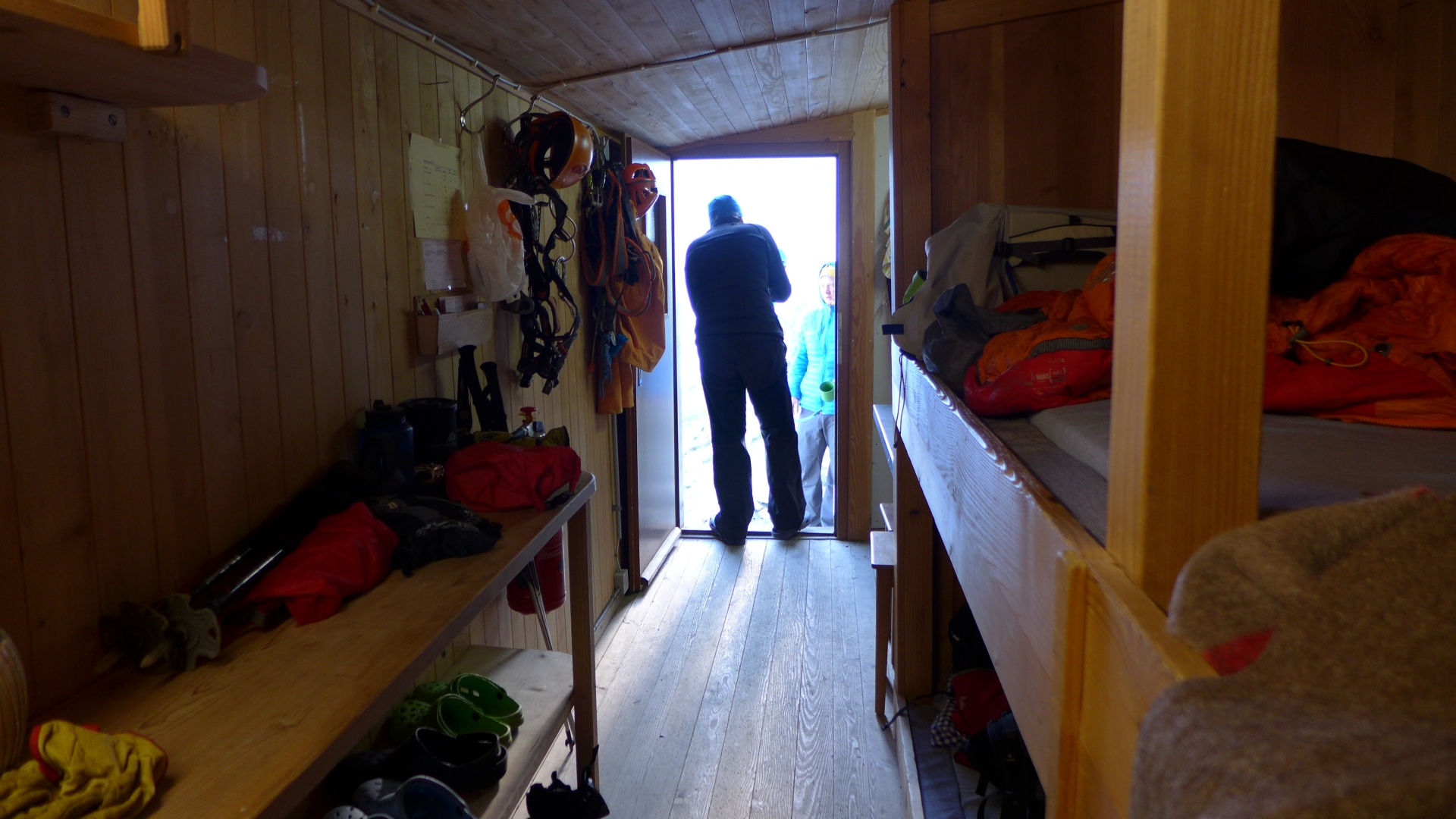
Meanwhile....
Kent hikes up to RothornHutte
Previous
Sunday June 29, 2014
Geneva, Sion, and Cabane de Prafleuri
Monday June 30, 2014
Cabane de Prafleuri to Verbier
Next
Tuesday July 1, 2014
Verbier, Chamonix, and Zermatt