Previous
Thursday August 6, 2015
Tour de Monte Rosa Trip Report
Zermatt to Resy
Friday August 7, 2015
Tour de Monte Rosa Trip Report
Resy to Rifugio Gnifetti
Next
Saturday August 8, 2015
Tour de Monte Rosa Trip Report
Rifugio Gnifetti to Alagna Valsesia
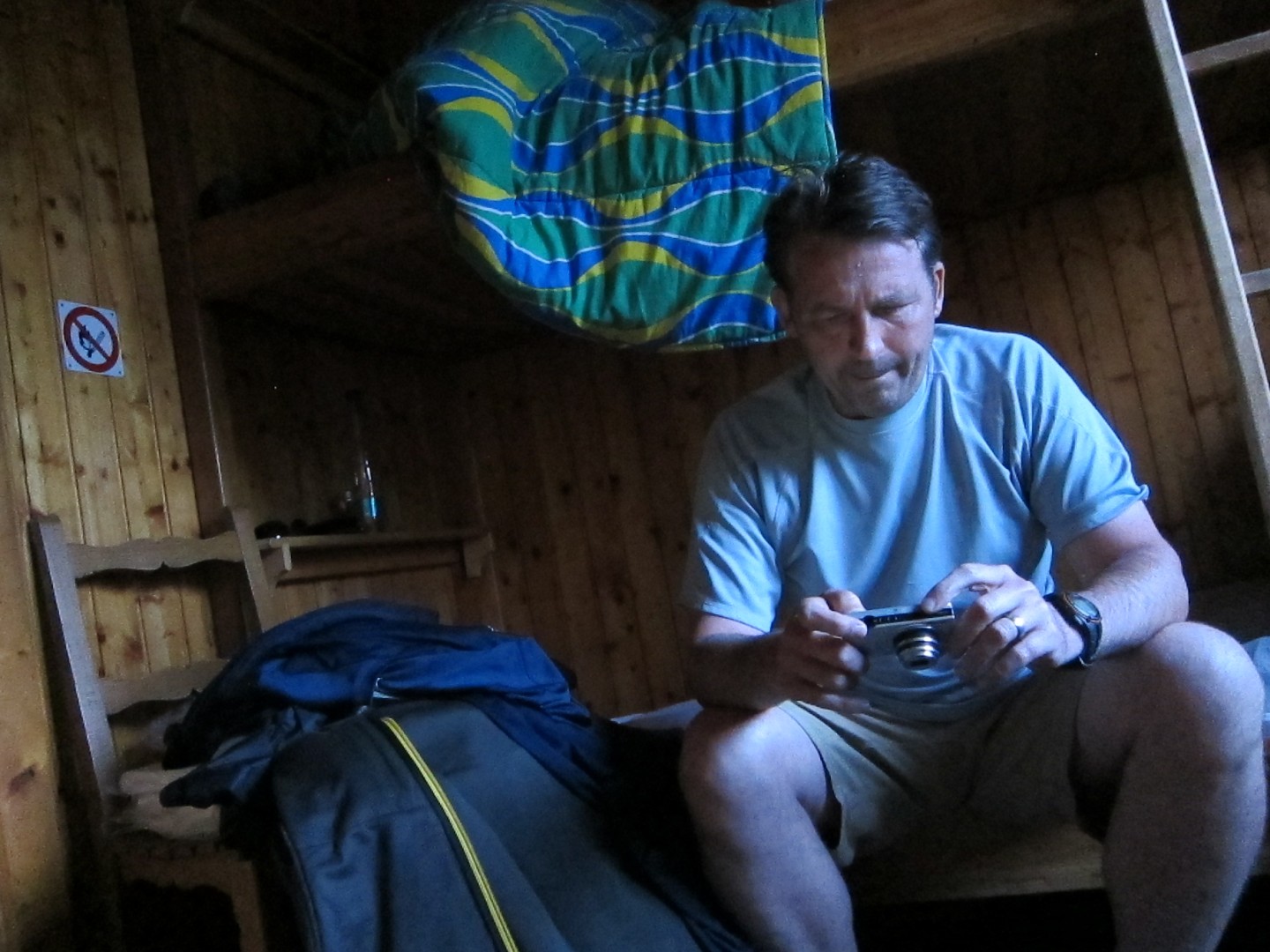
Kent was amazed that I wasn't mad at how loud our cabin had
been last night.
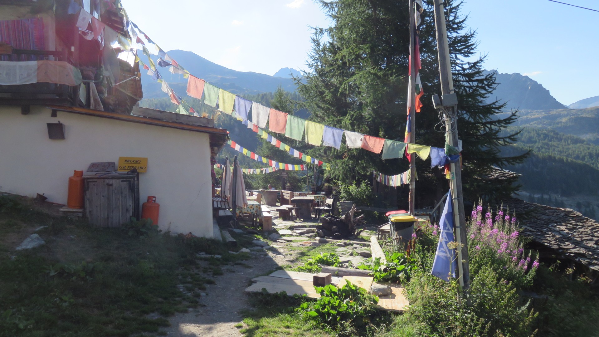
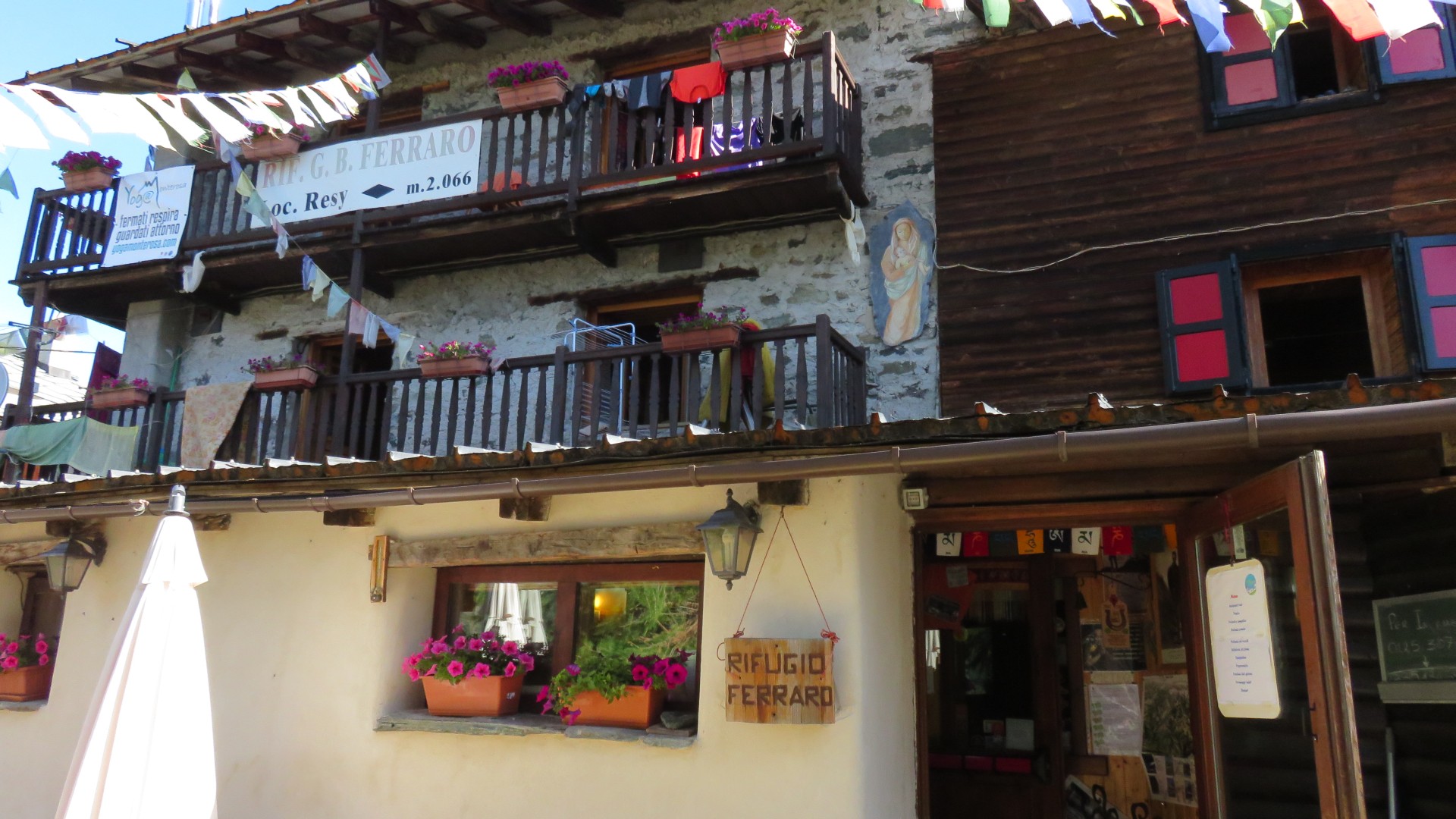
He said that nearly everyone had been next door at the bar at Rifugio
GB Ferraro and came back fairly late and very loud, and people didn't
quiet down for quite a while.
I was uncharacteristically oblivious, or nearly so.
I did hear children awake in the middle of the night on the floor below
us but they weren't that loud.
When the owner asked what time we wanted breakfast the night before,
Paul choose to have breakfast at 8am and of course no one objected to
this 'late' start.
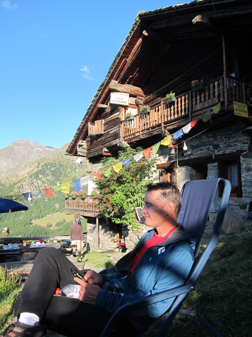
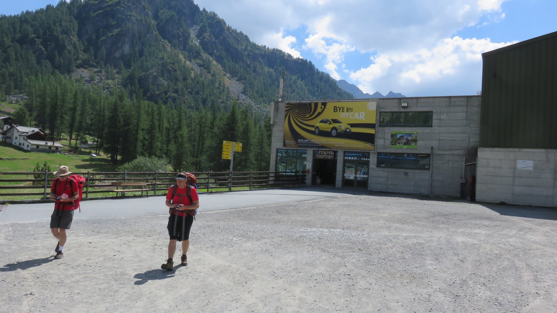
Most (all?) of us took advantage of the showers that morning.
By the time we had breakfast nearly everyone else had left the hut.
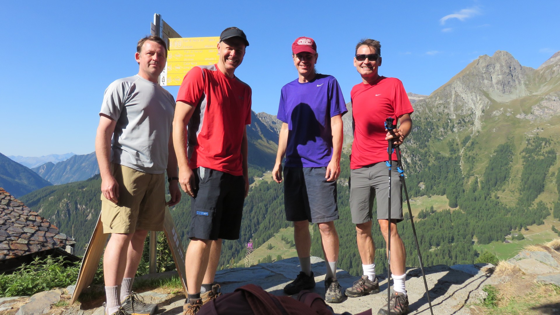
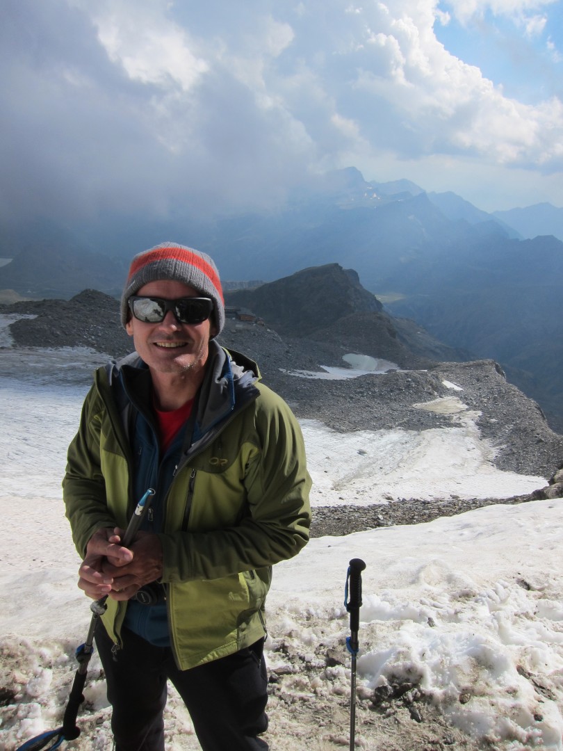
It was a gorgeous bluebird day in the alps!!!
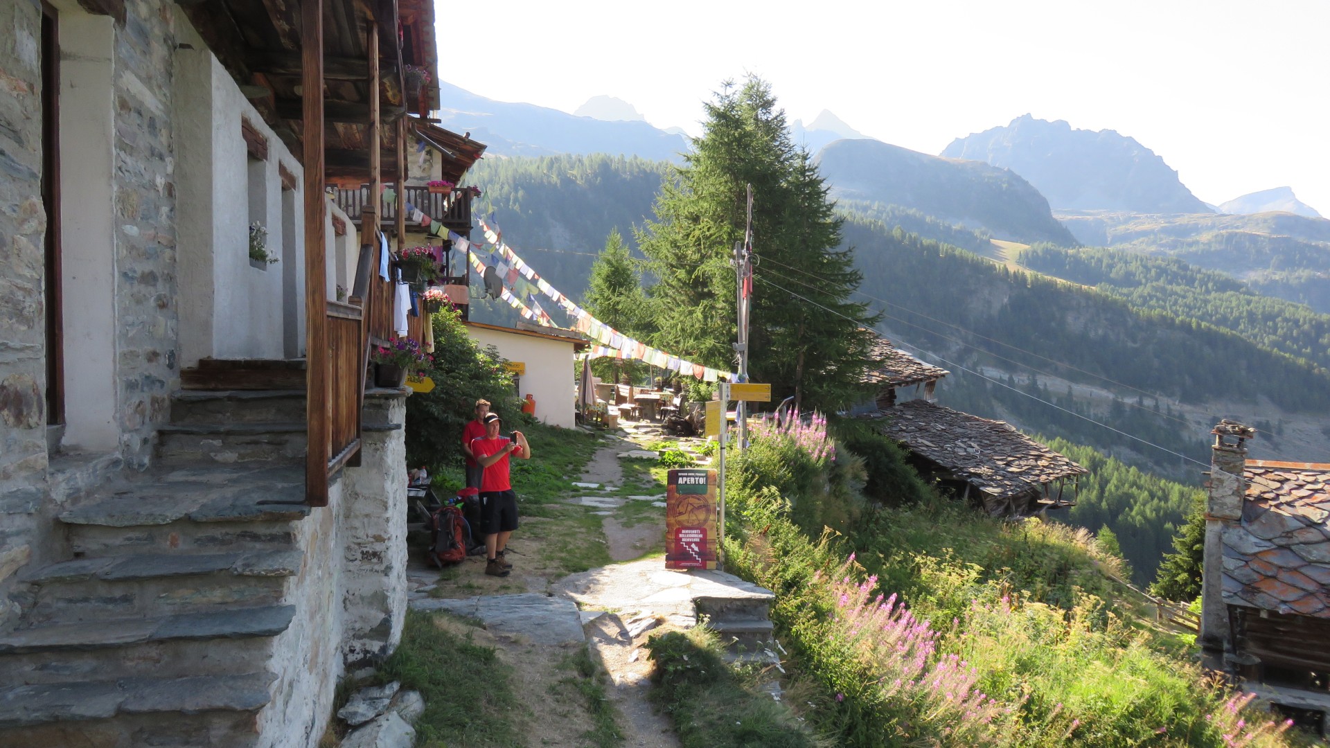
Paul's pic
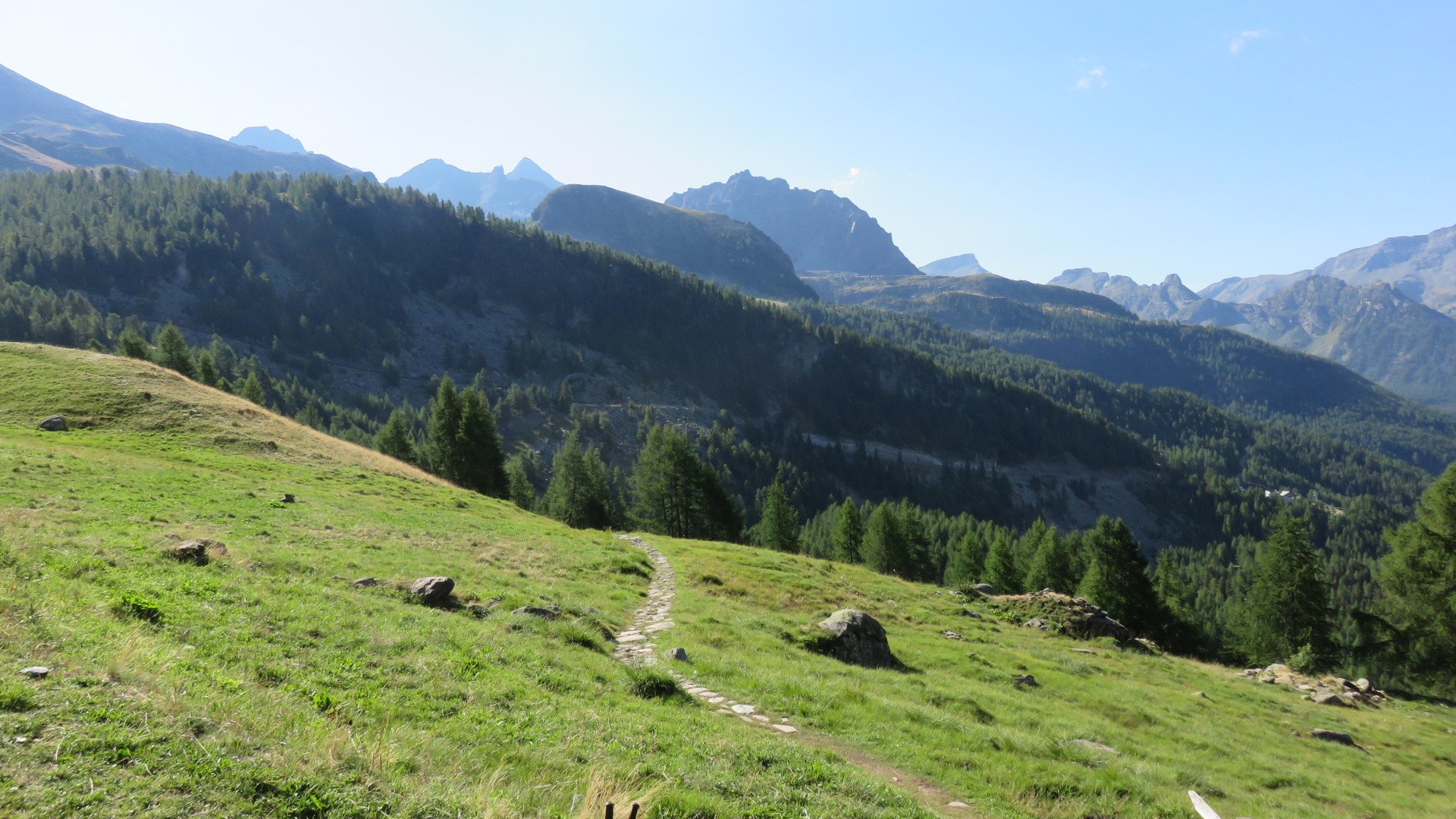
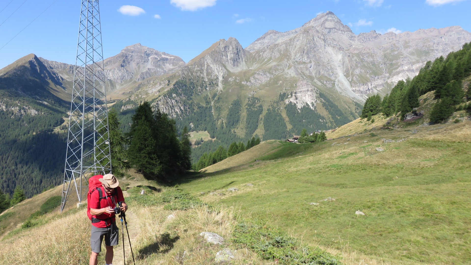
8:25
8:25
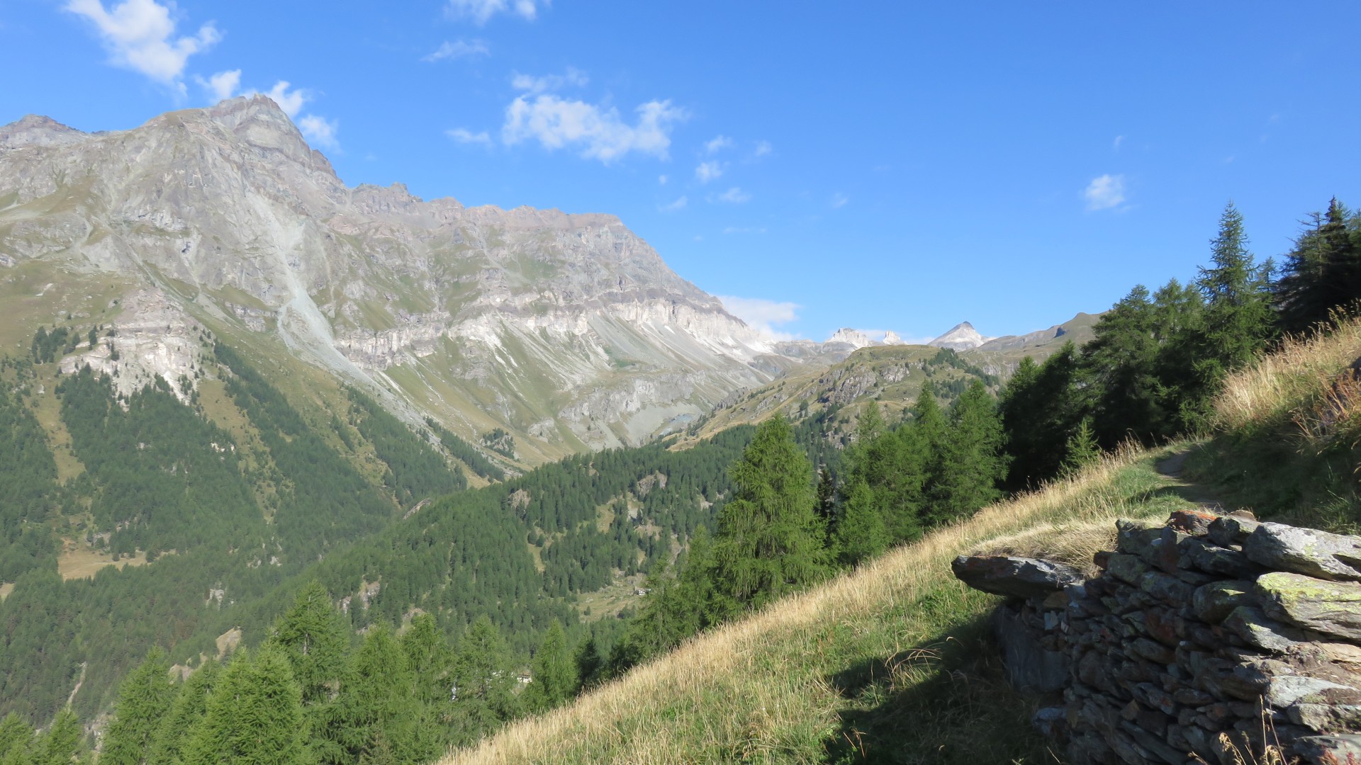
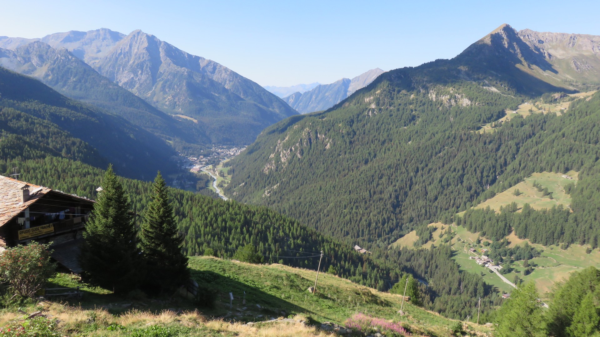
Looking back the way we came, west toward Grand Toulnalin 3379m
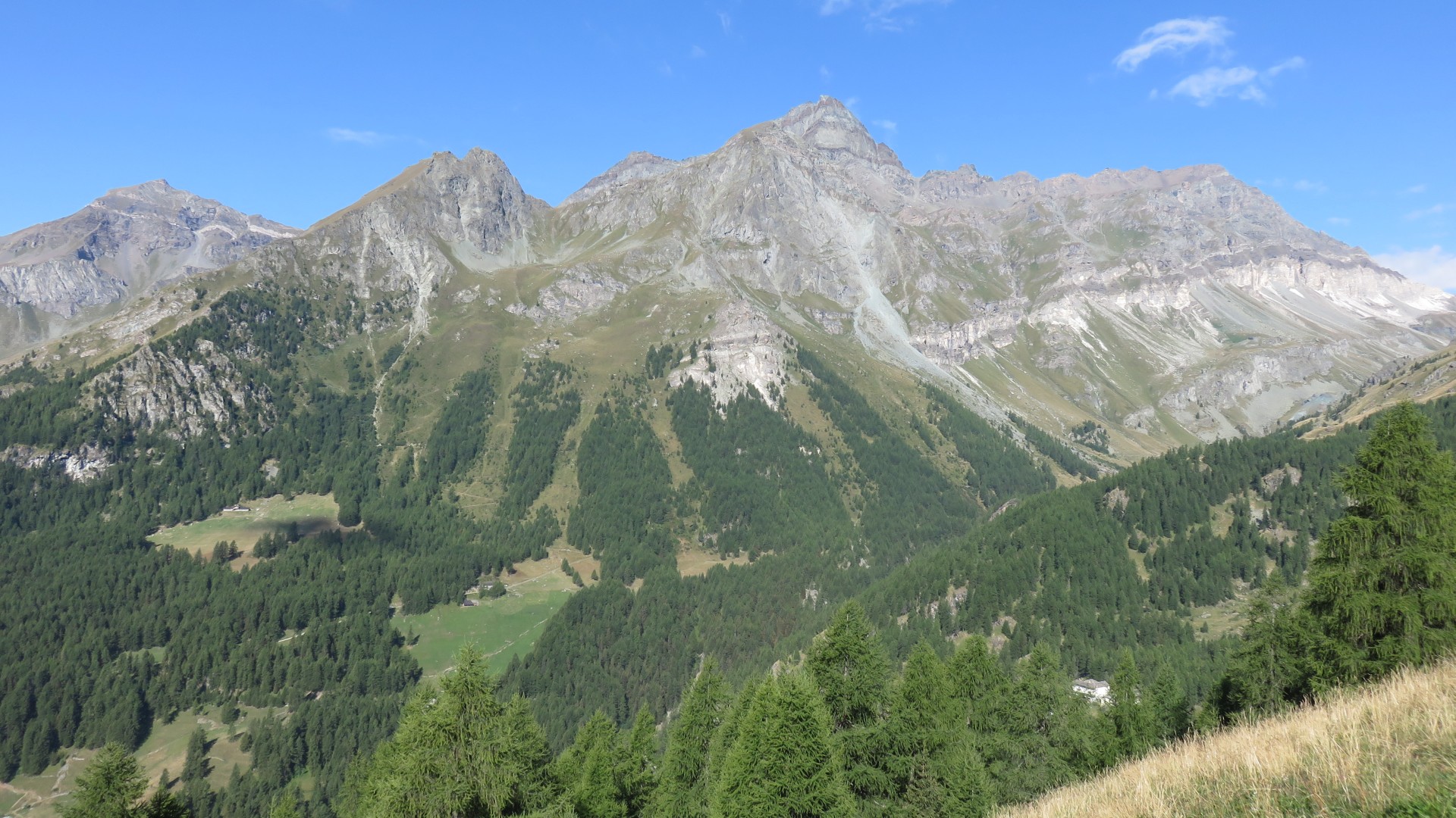
8:36
8:36
Looking south towards Saint Jacques and Champoluc
8:36
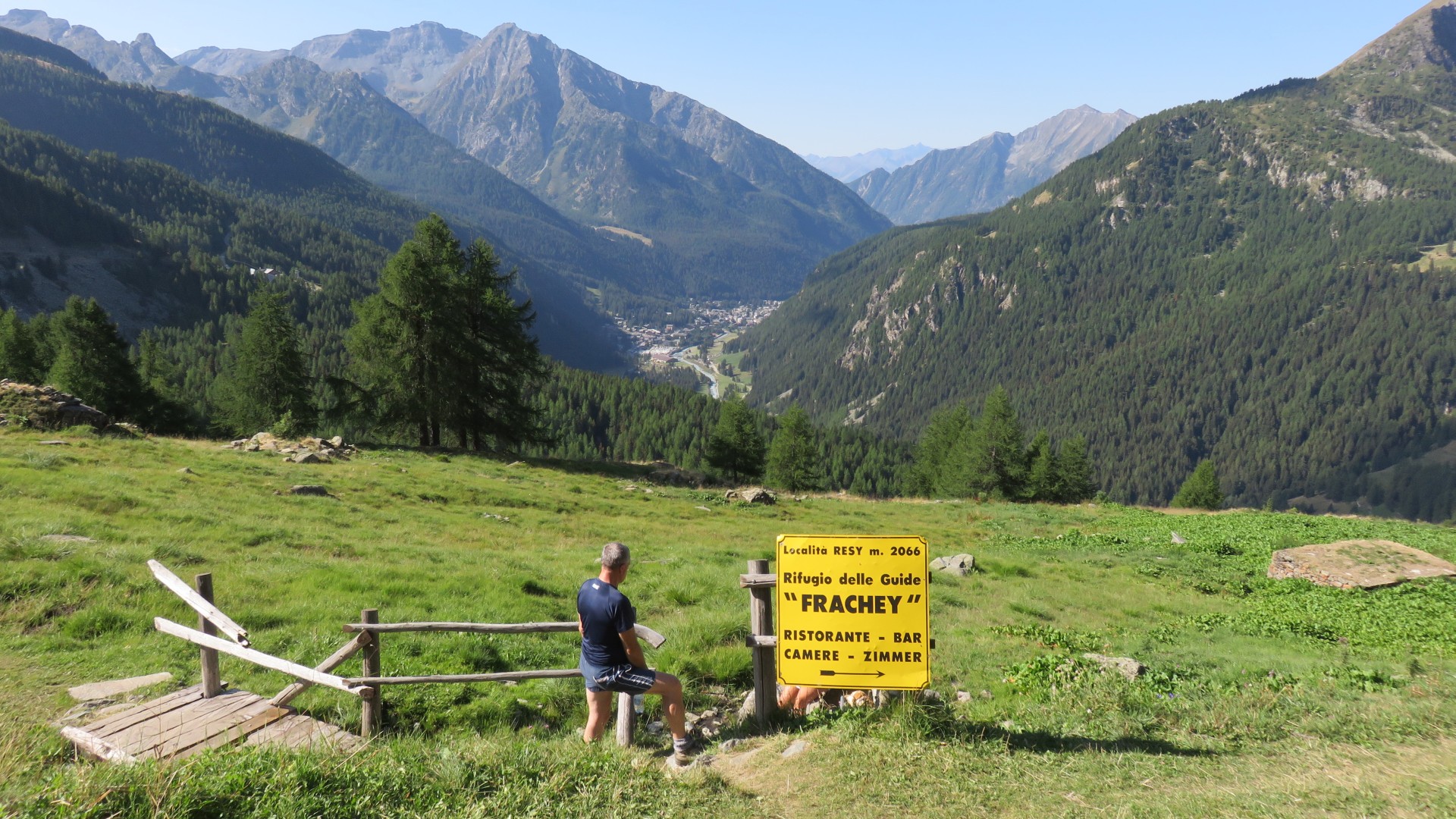
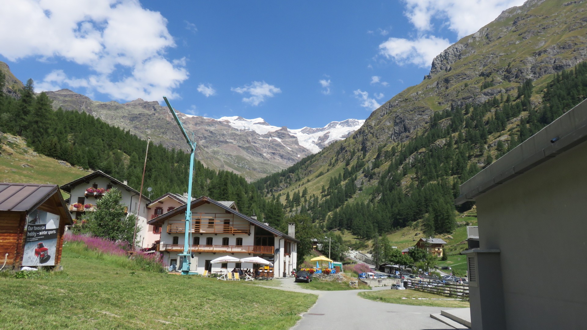
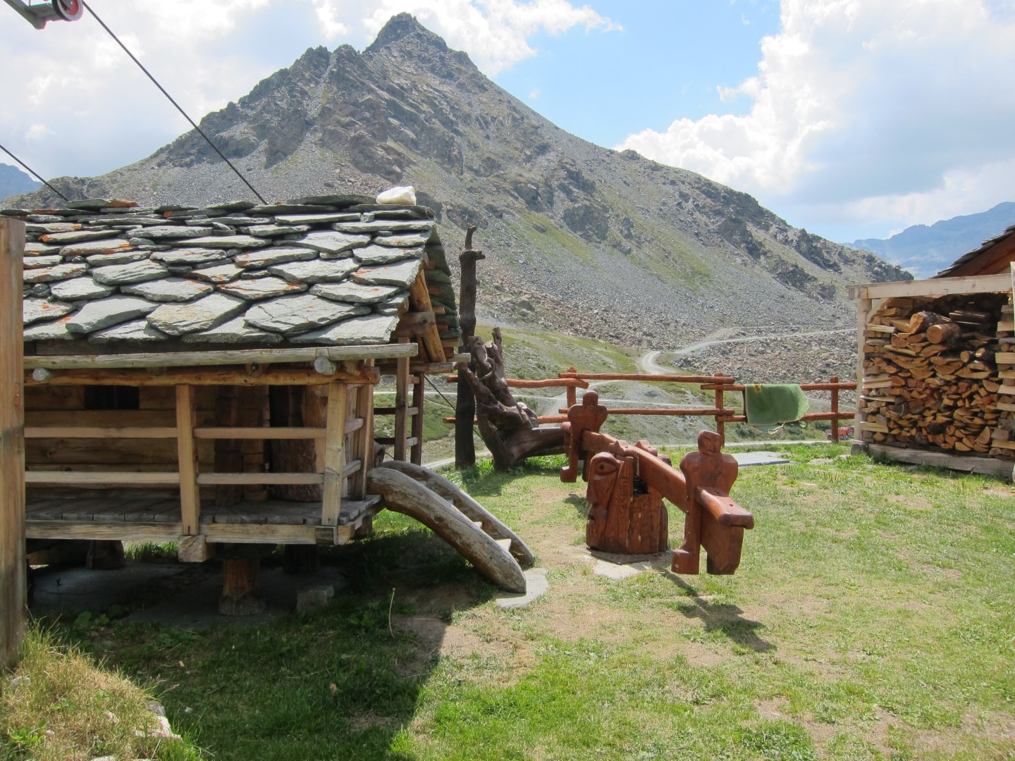
Resy
8:36
8:38
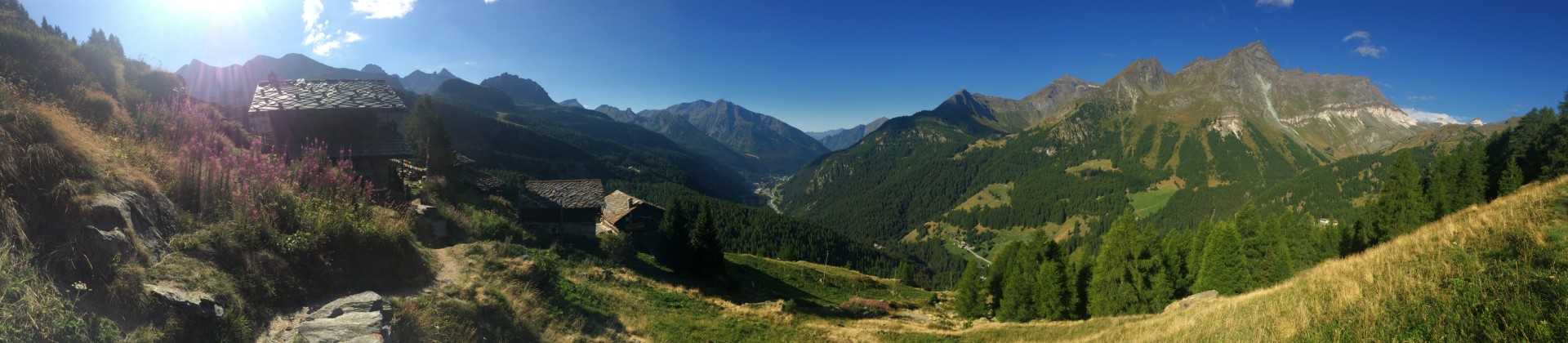
iPhone panorama - click here for a
full size image of the pano
8:39
8:40
8:41
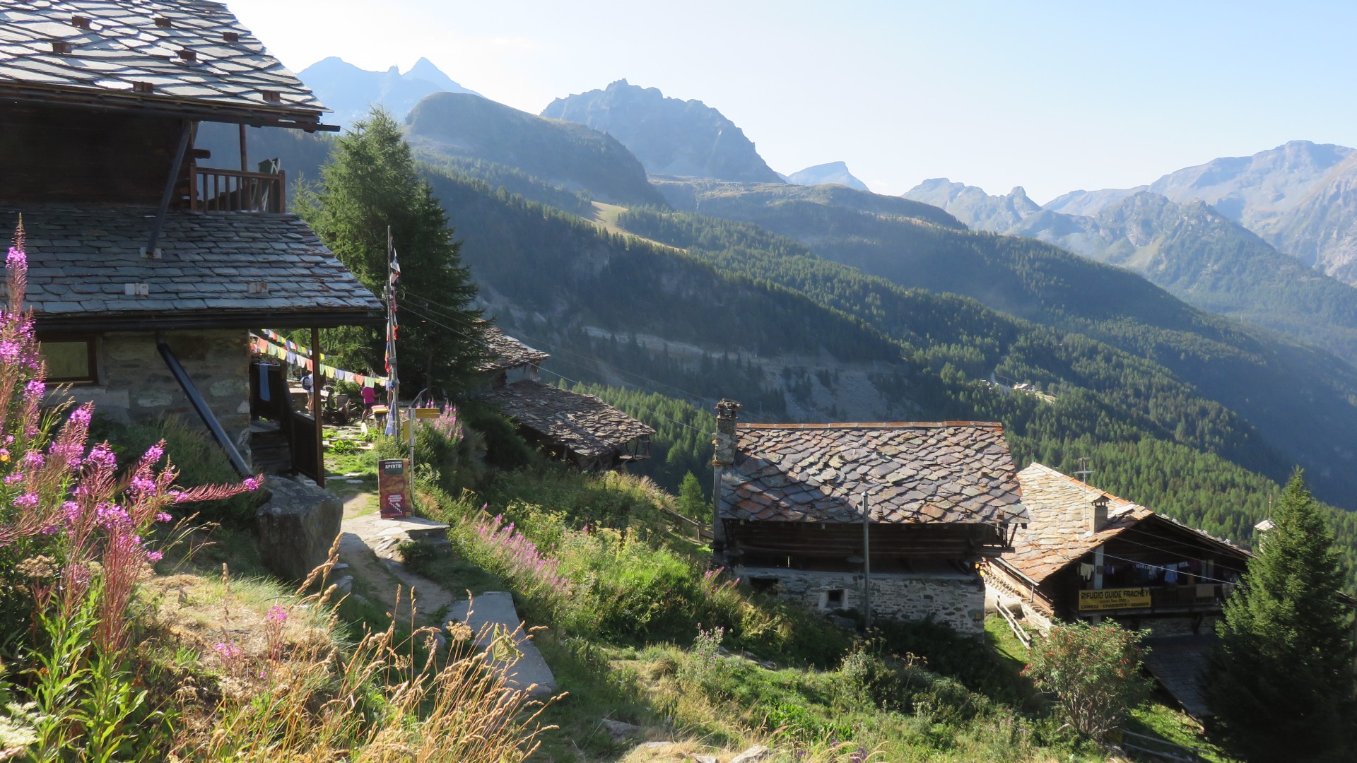
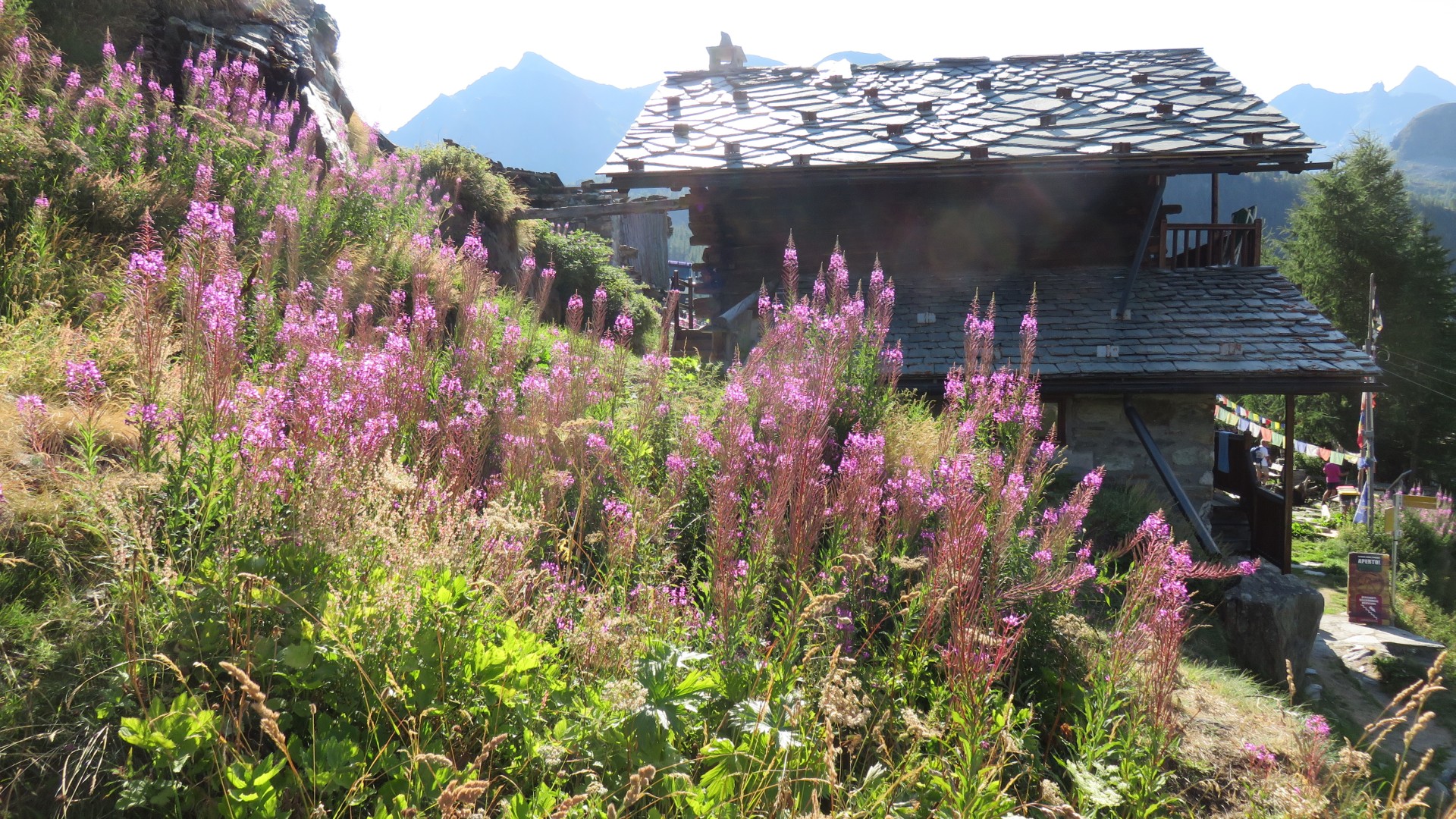
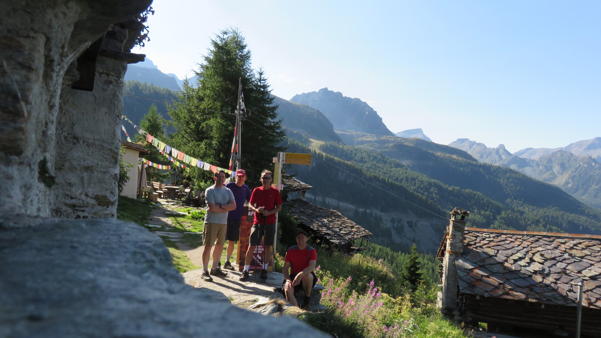
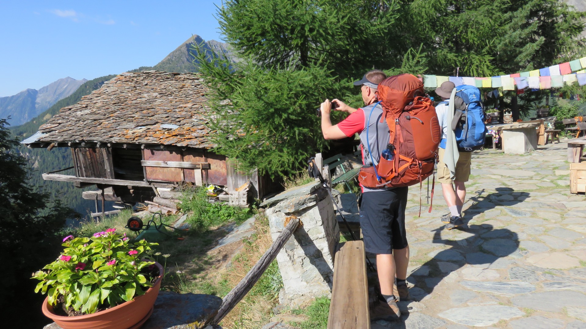
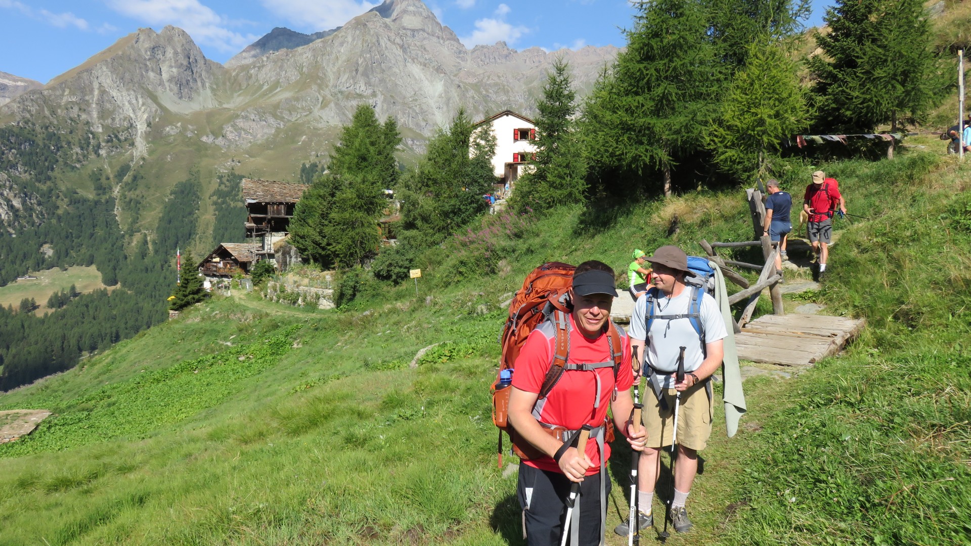
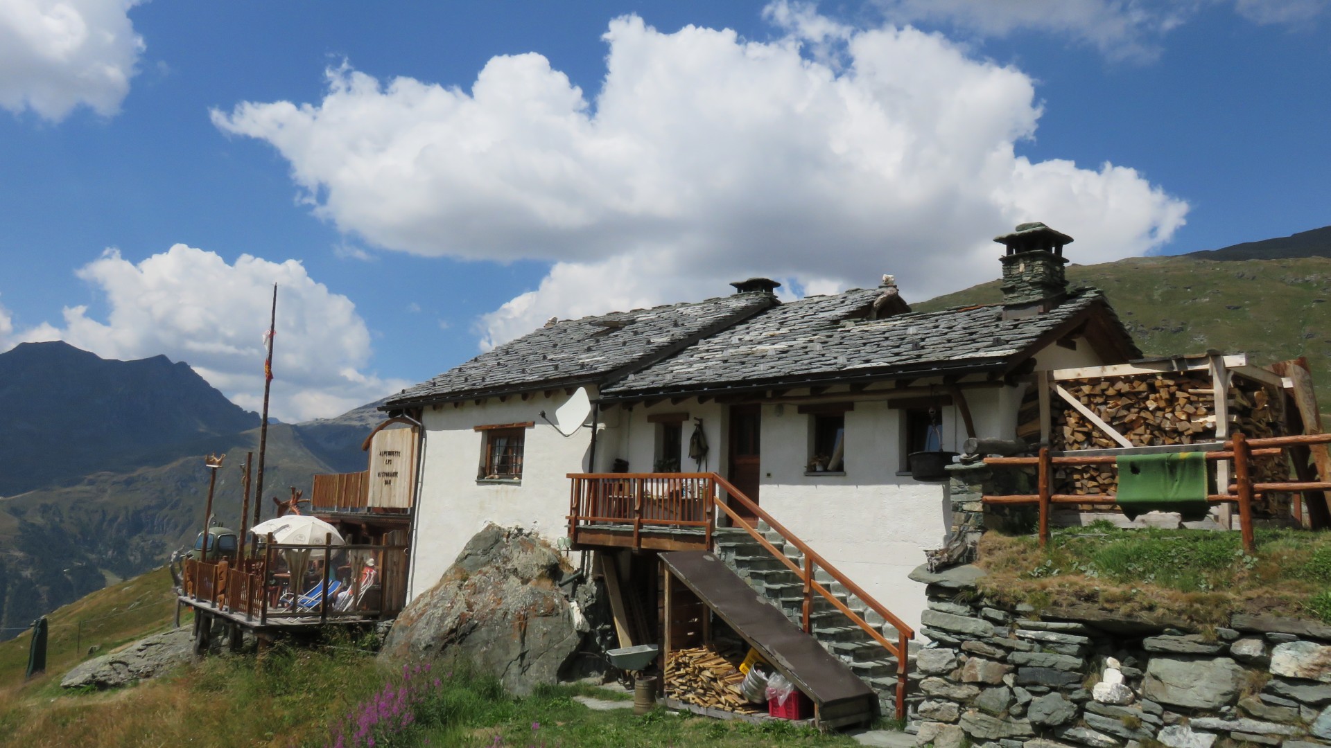
Rifugio GB Ferraro
8:50
Rifugio GB Ferraro
8:51
8:53
8:53
8:53
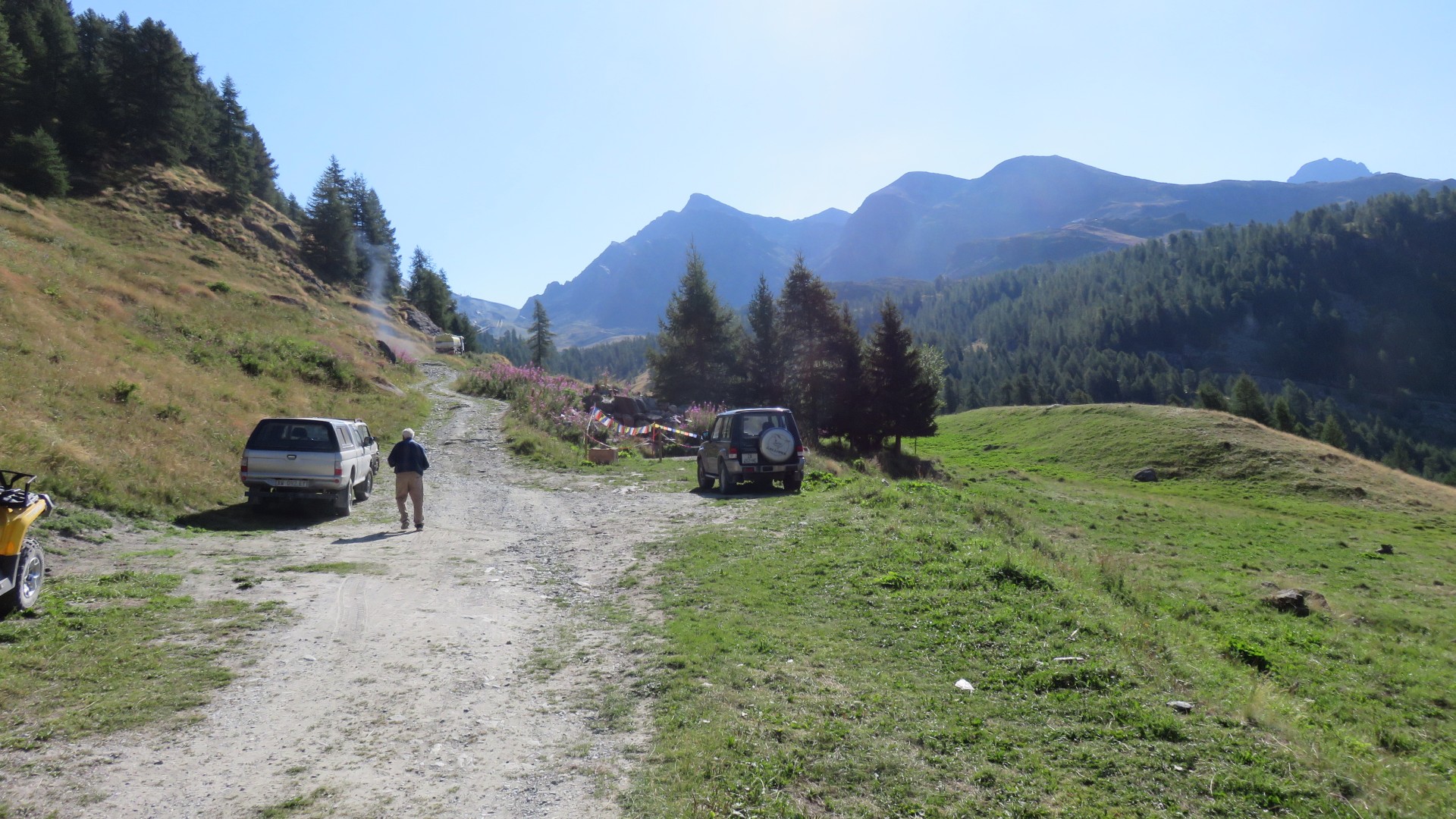
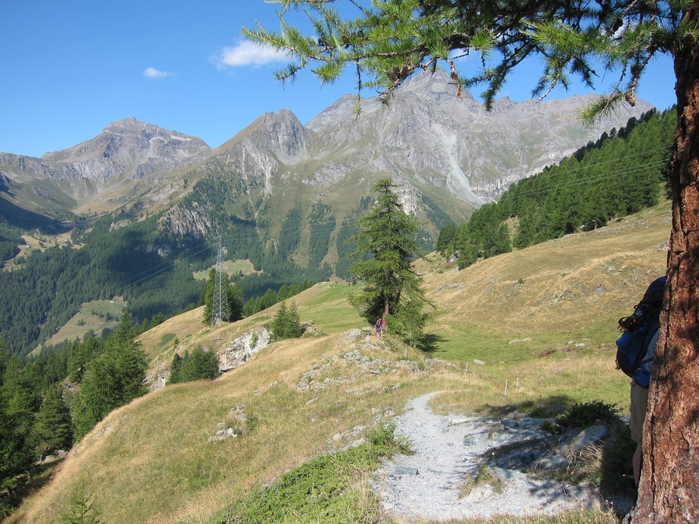
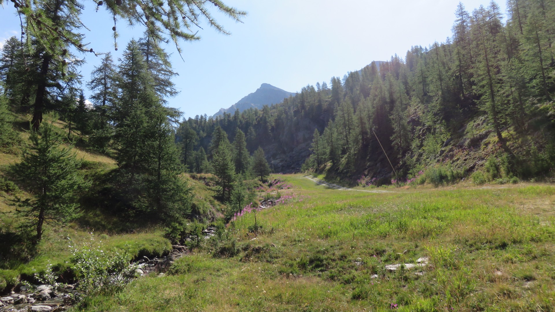
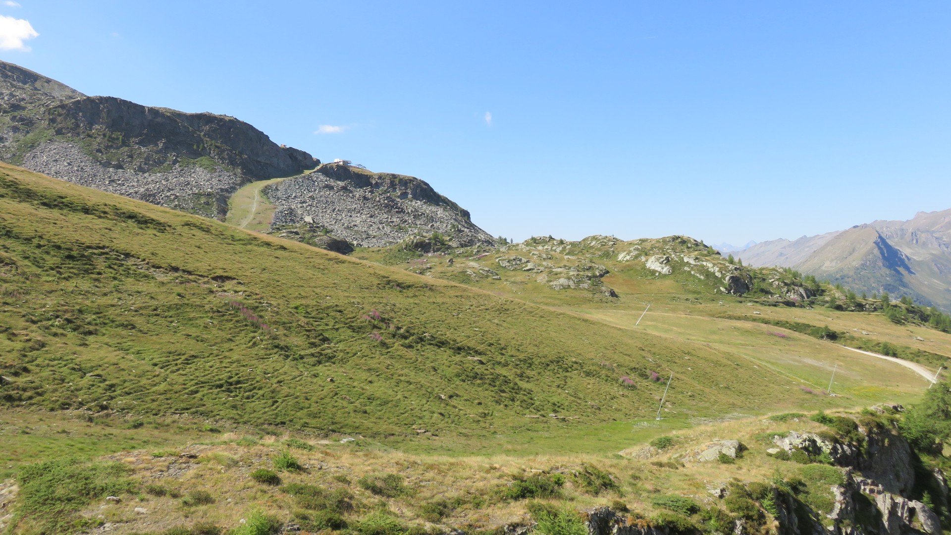
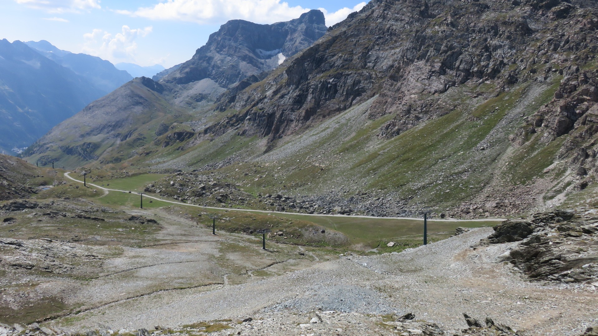
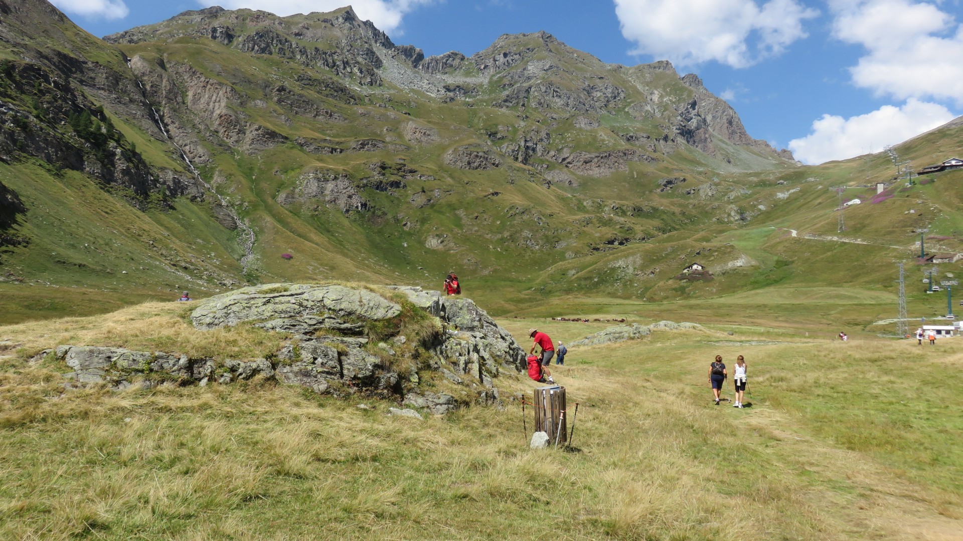
There is at least a dirt road up here after all...
8:53
The base of the Alpe Mandria lift is on the right, as seen from from
Resy Italy
8:55
9:05
OpenCycleMaps used by MotionX unfortunately do not show the ski lifts.
Google maps show no details at all in the back country, but they do
show the ski lifts
A quick check of google maps confirmed that the ski lift we could see
at our elevation across the valley was not our destination - our lift
was uphill from here.
I could not tell the elevation of our lift or how far away it was, but
I knew it was uphill.... and I knew that it was running.
9:07
9:08
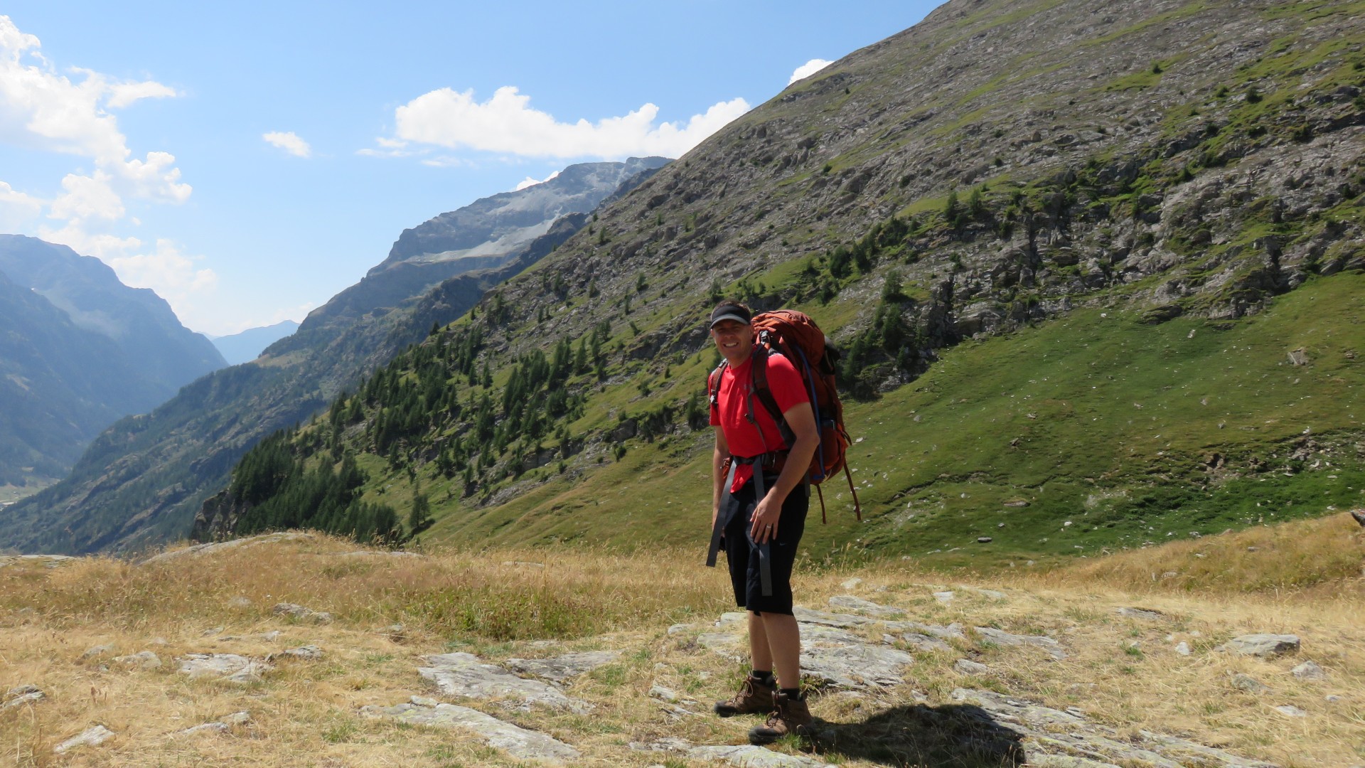
Paul's pic
Paul's pic
Paul's pic
Paul's pic
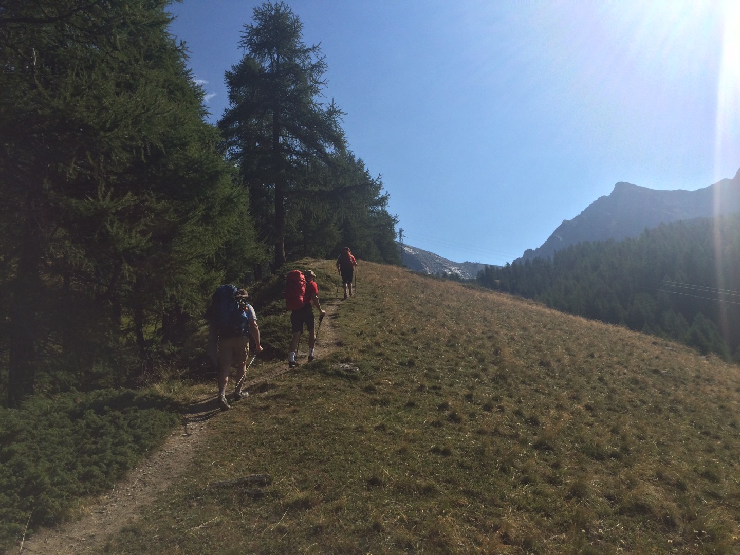
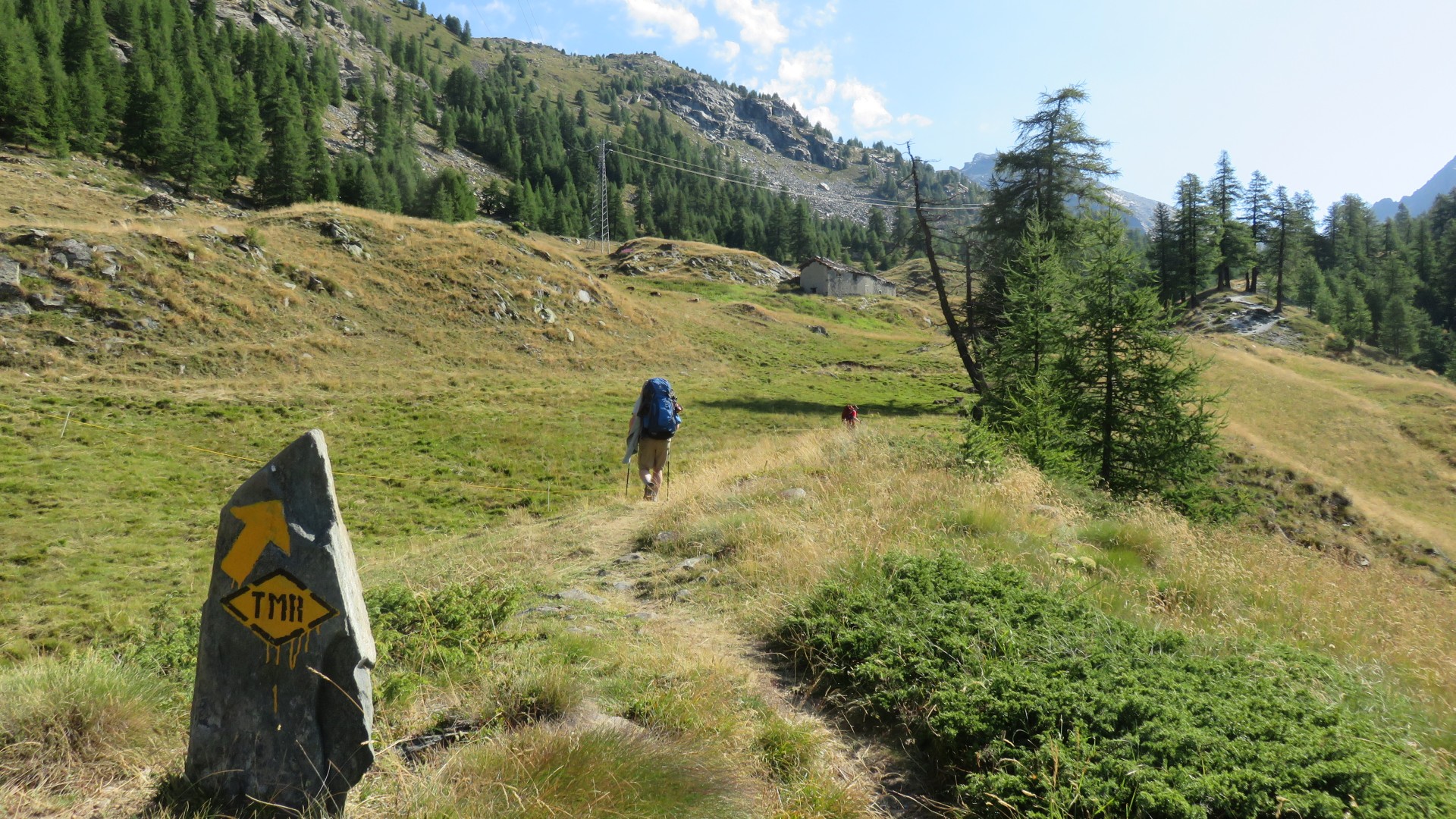
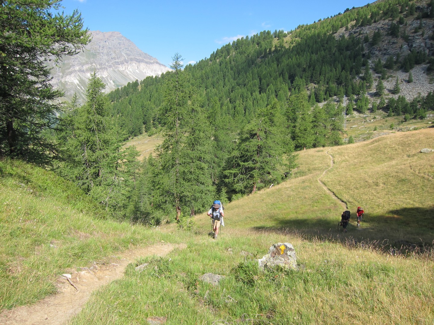
9:18
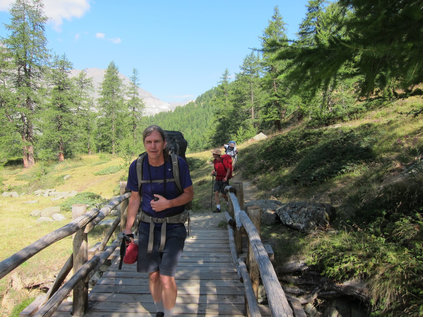
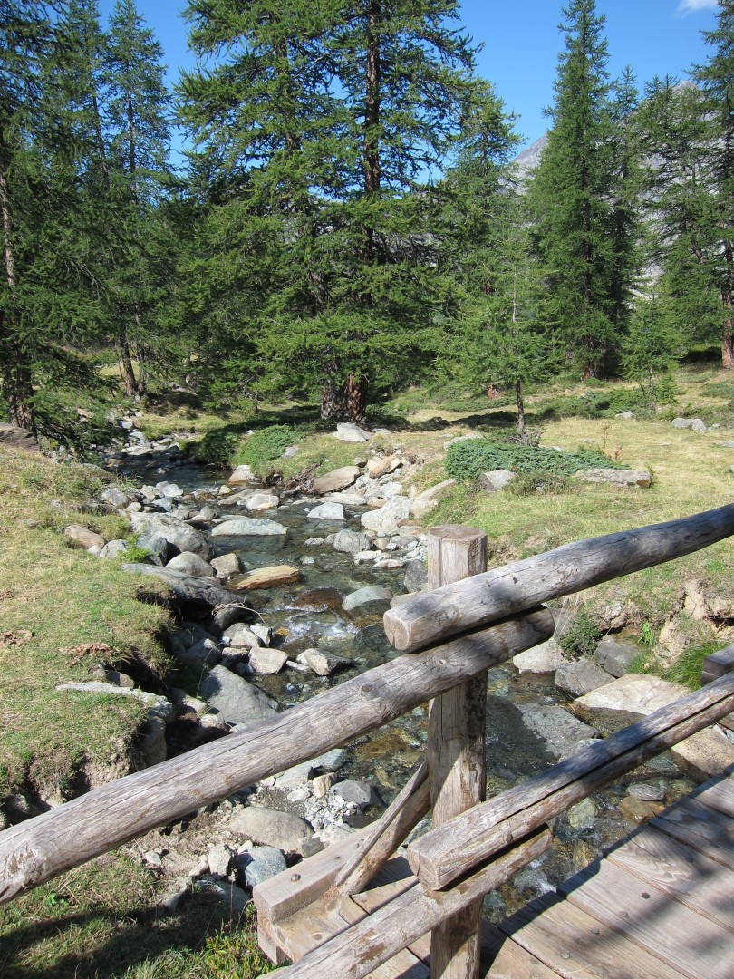
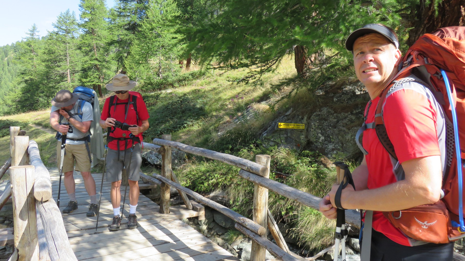
We crossed a stream and reached a road...
9:19
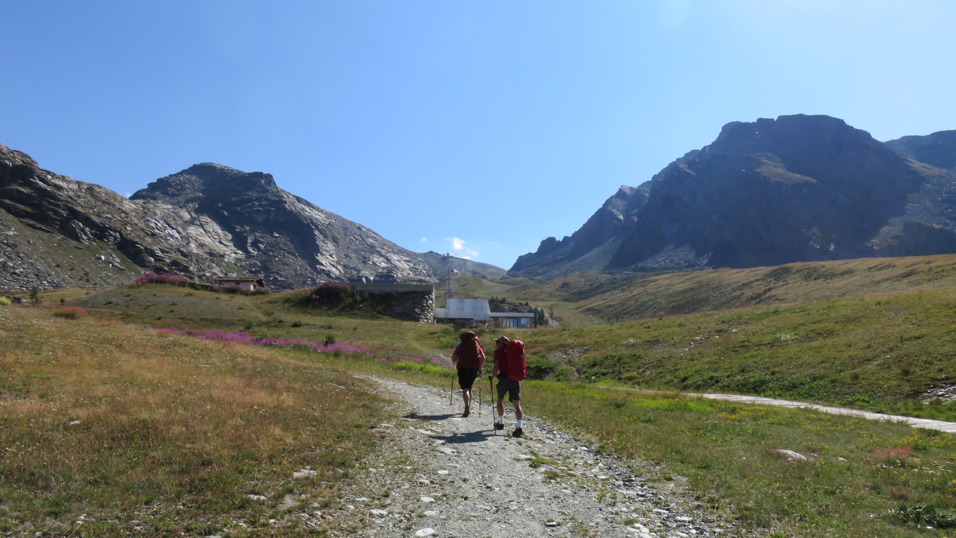
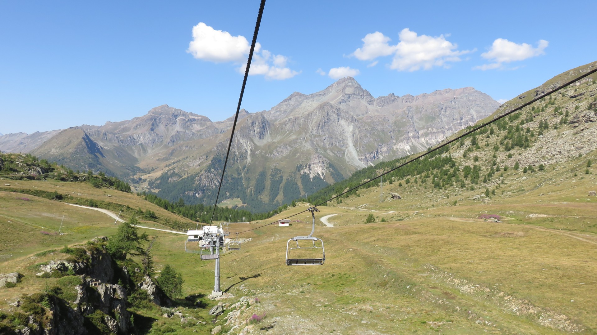
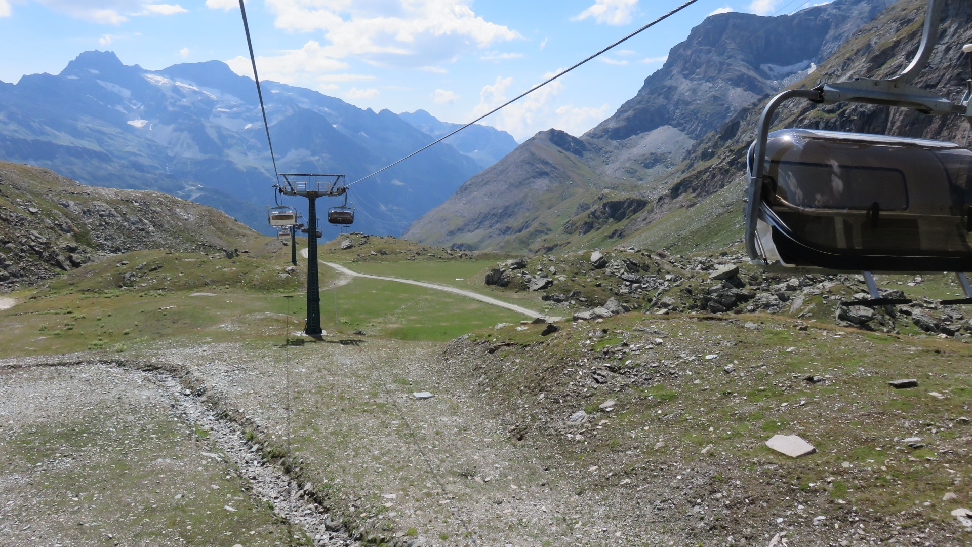
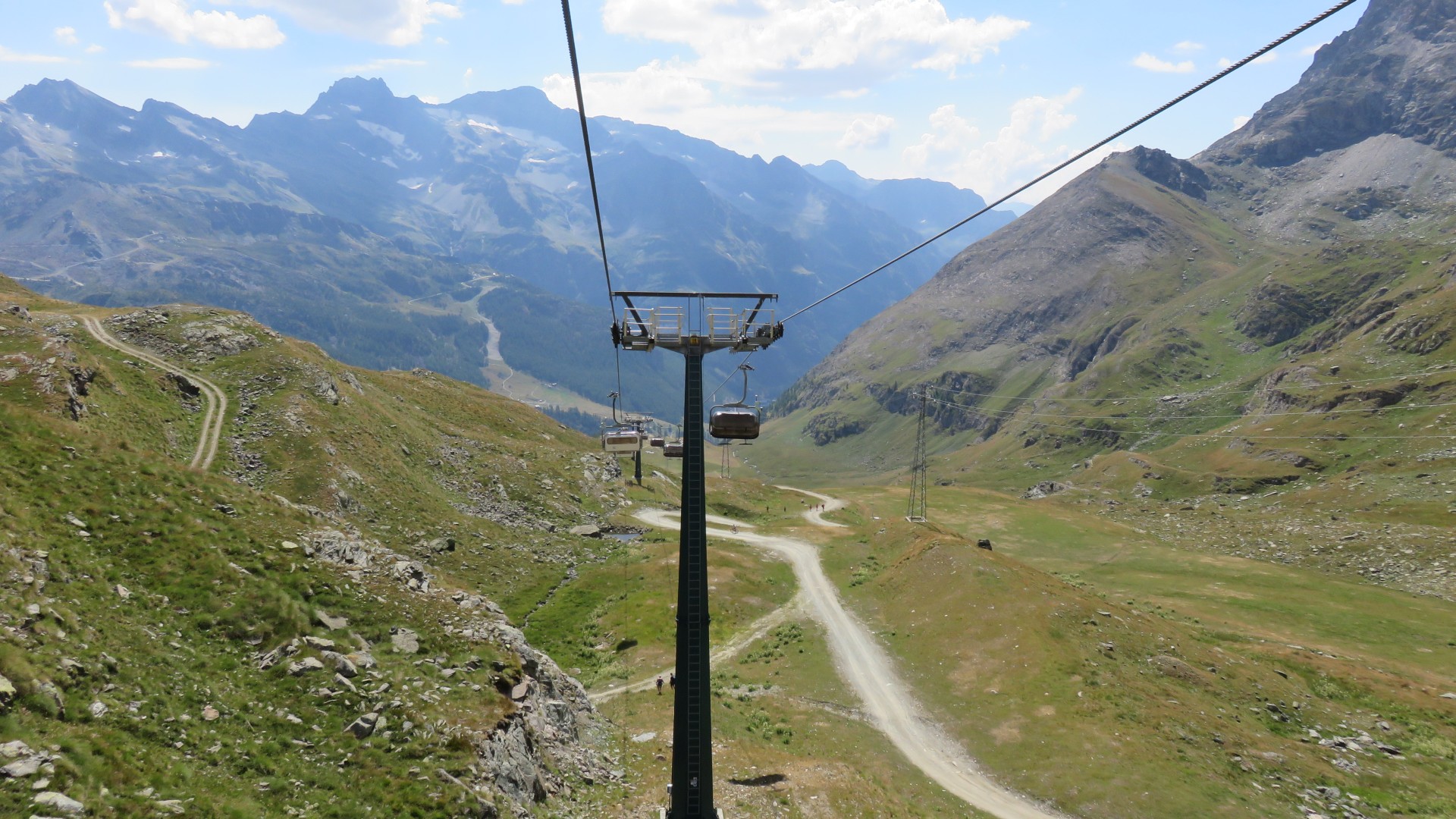
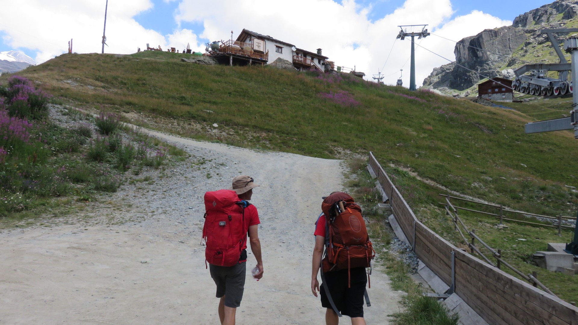
Eventually we hiked up the road towards Bettaforca lift
9:35
Half an hour and 291m of vertical later we reached the base of
Bettaforca lift 2297m
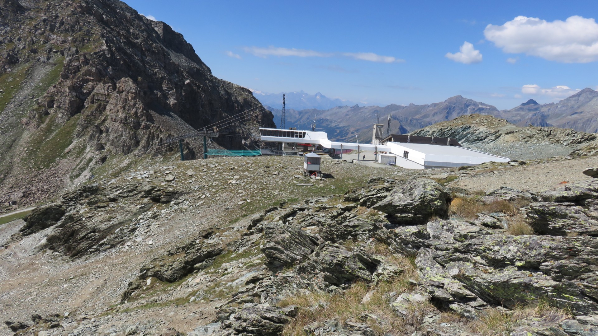
9:45
Top of the Alpe Mandria lift as seen from the base of Bettaforca lift
The lone worker at Bettaforca lift spoke very little English, but we
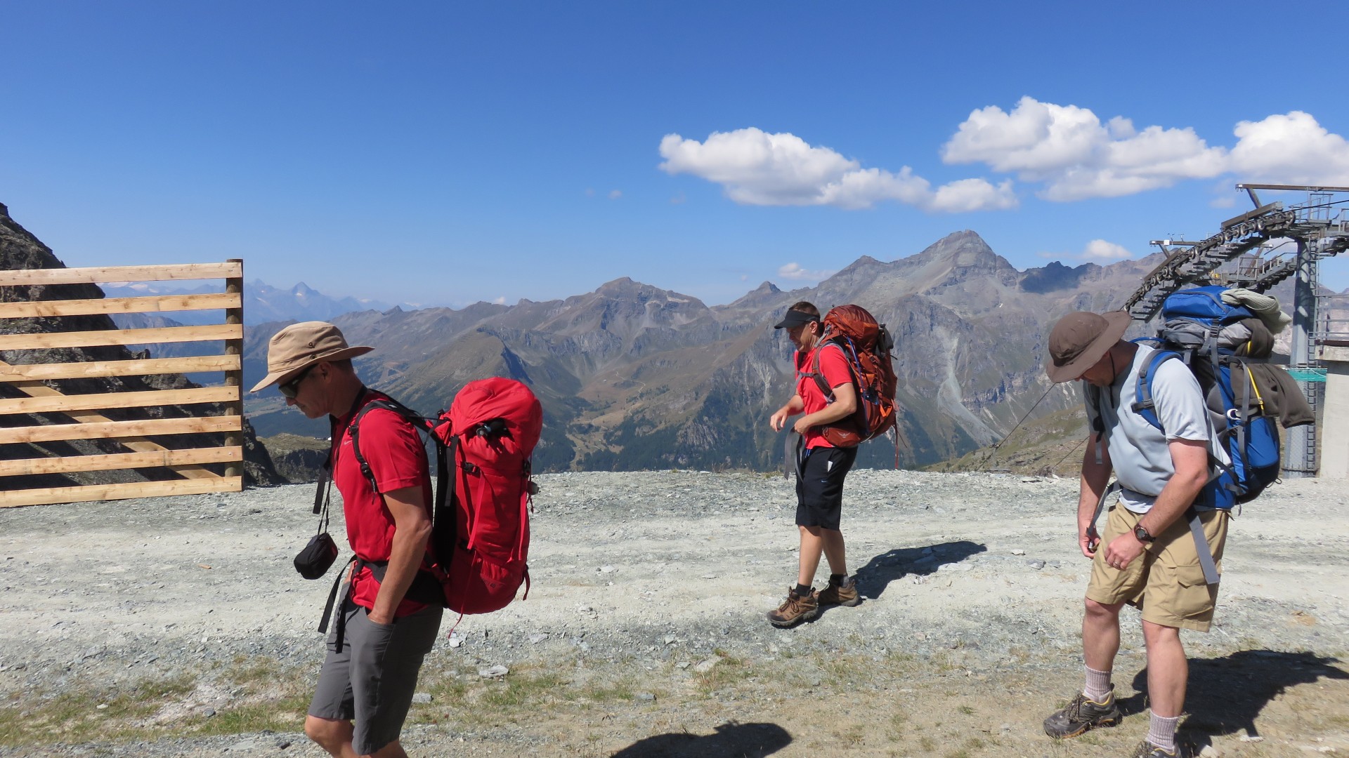
were able to buy our 30 euro all day all mountain lift tickets.
Our Disneyland ride through the Alps had begun!
9:45
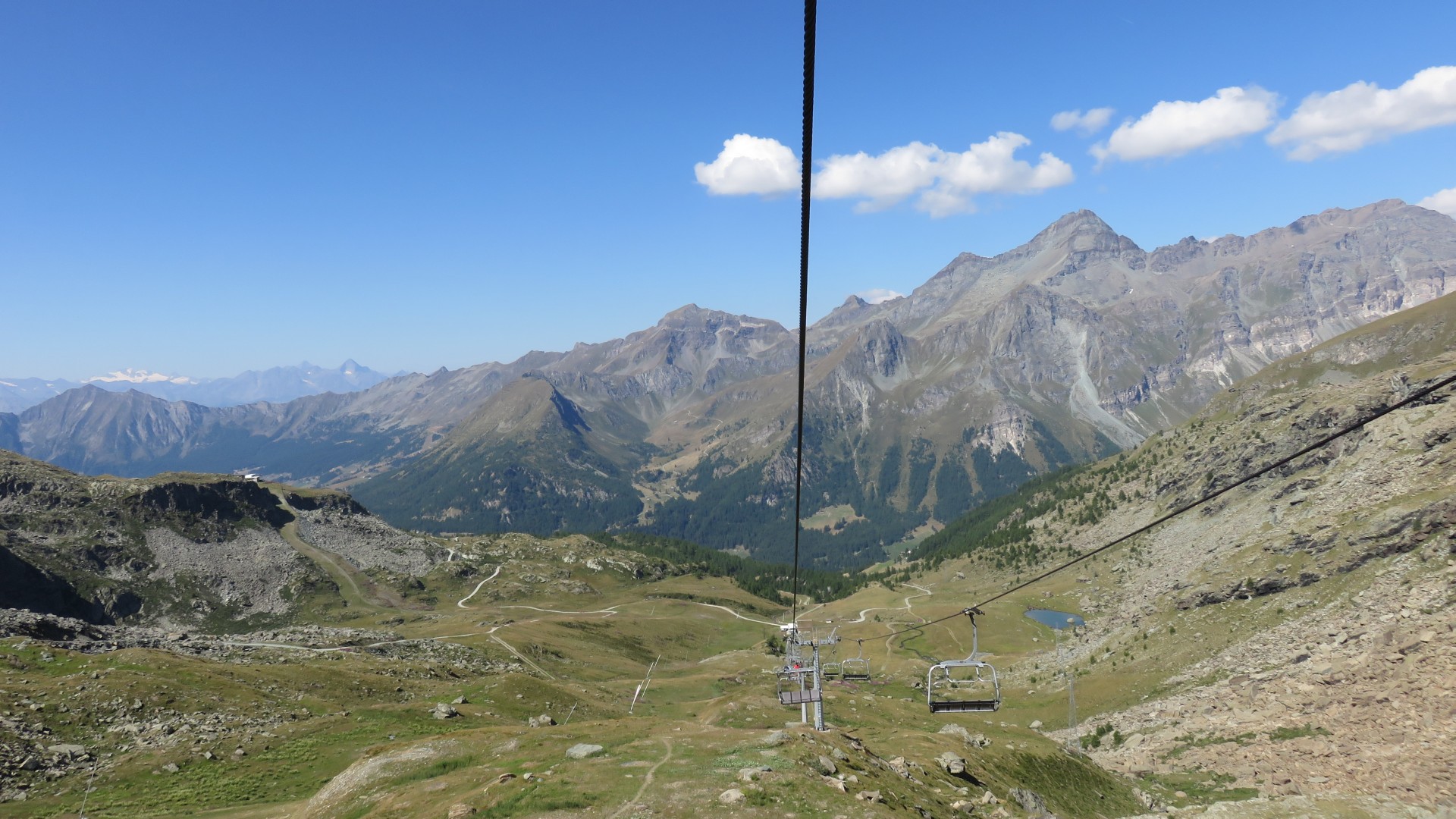
Bettaforca lift
9:45
Bettaforca lift
9:49
9:50
Val d' Ayas from Bettaforca lift
9:55
Once we were off the lift they shut it down, waiting for someone else
to use it.
10:00
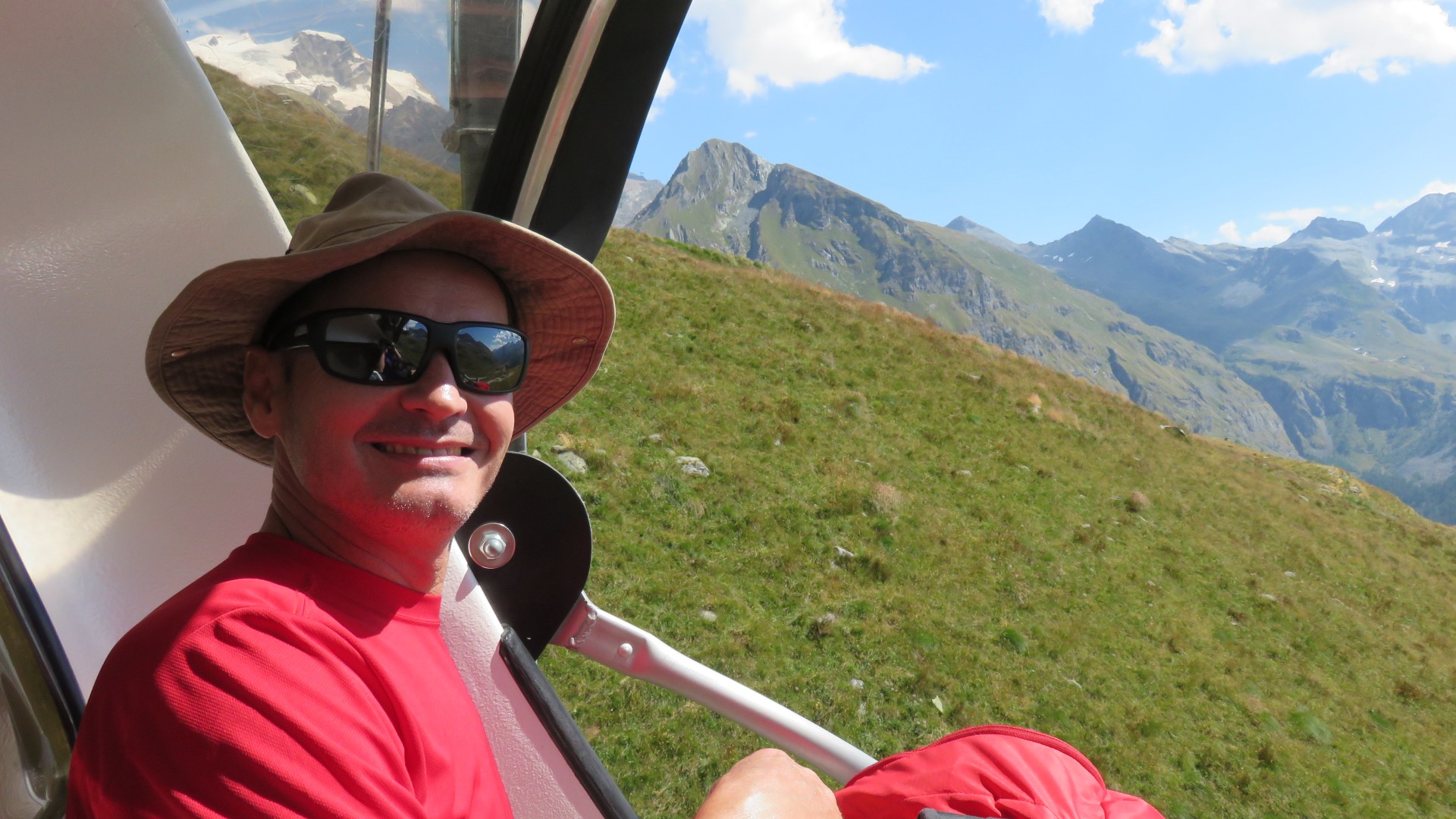
Paul's pic
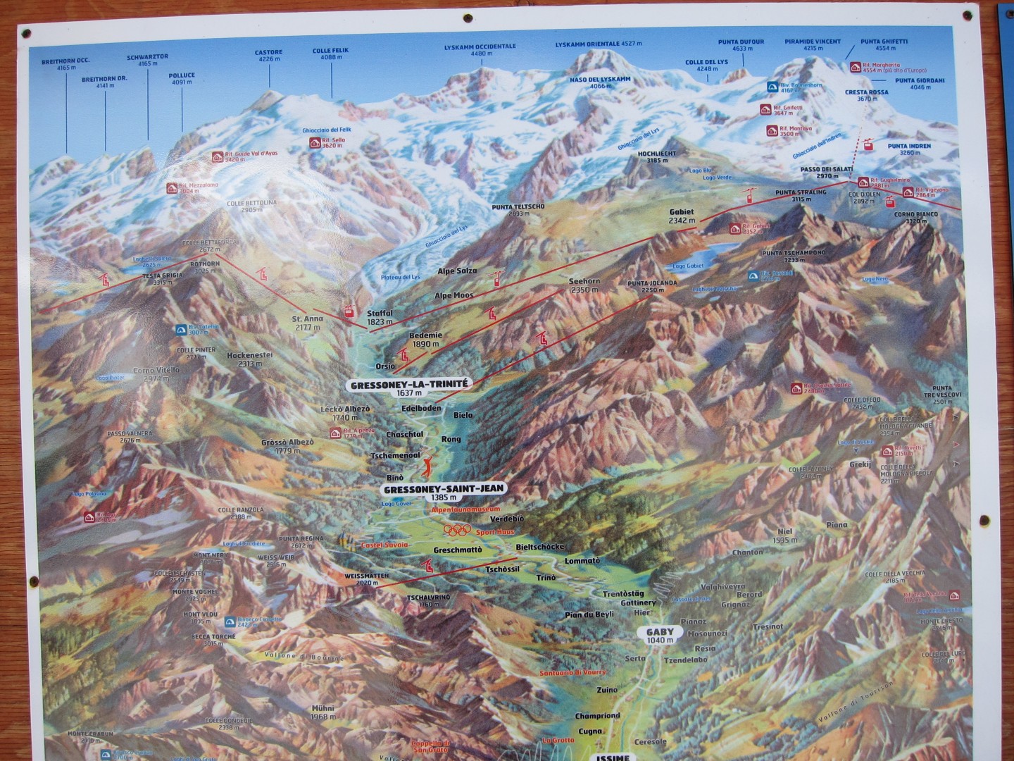
We started the day off the left side of the map, and wanted to finish the day in the upper right corner of the map.
Ski lifts are wonderful!
10:00
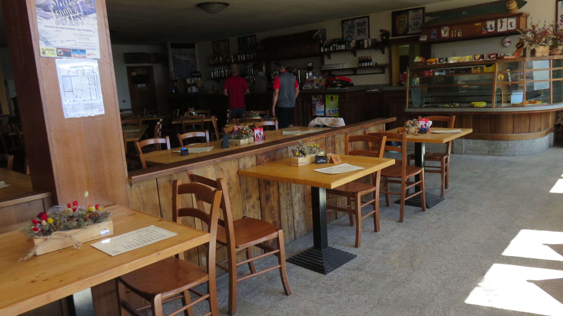
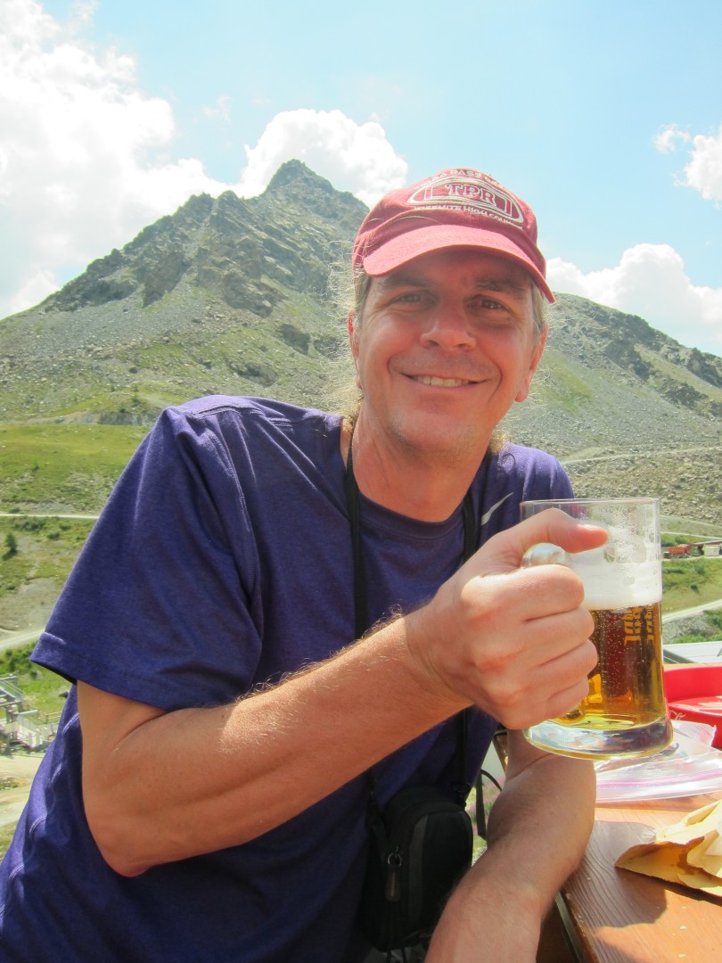
10am - time for our first beer!!!
10:07
Paul's pic
10:20
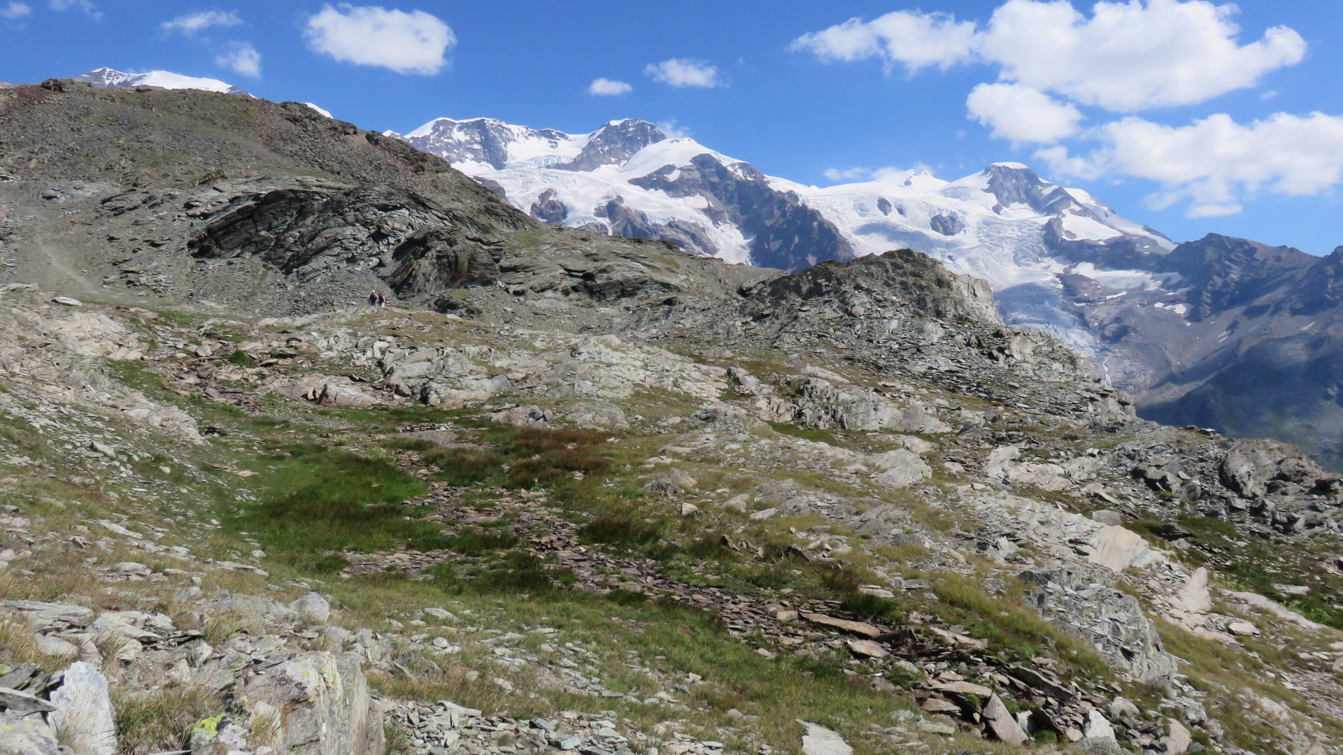
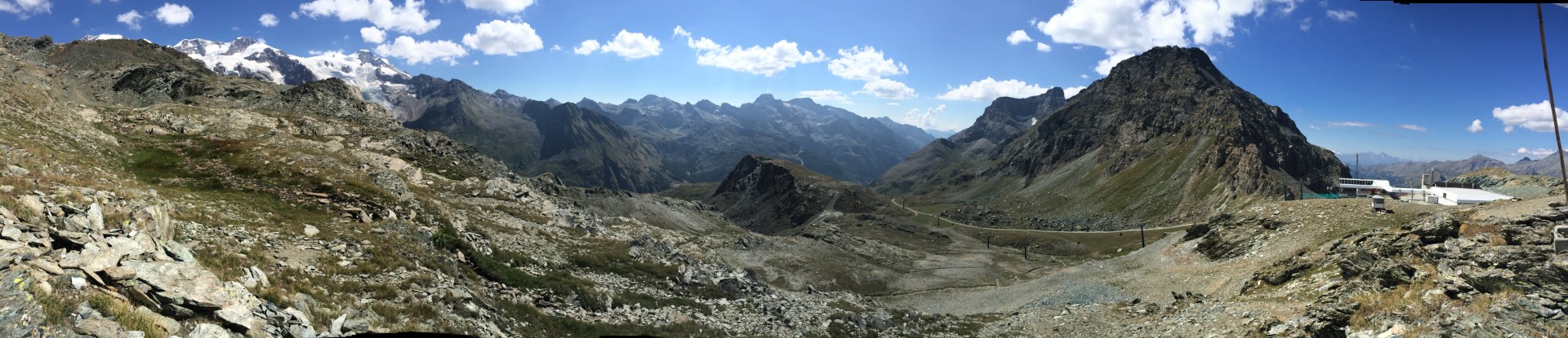
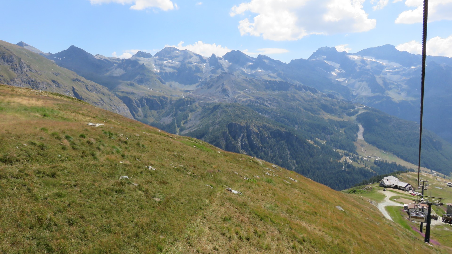
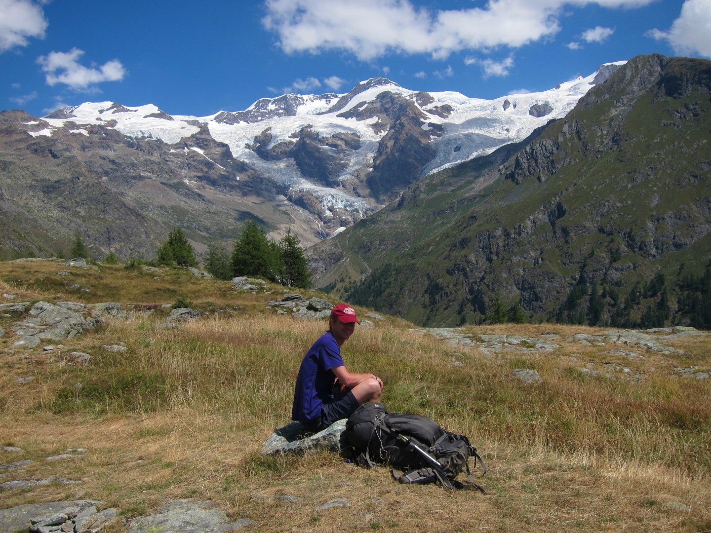
Pollux 4092m, Castor 4228m, and Felikhorn 4087m
10:20
Valle di Gressoney
10:21
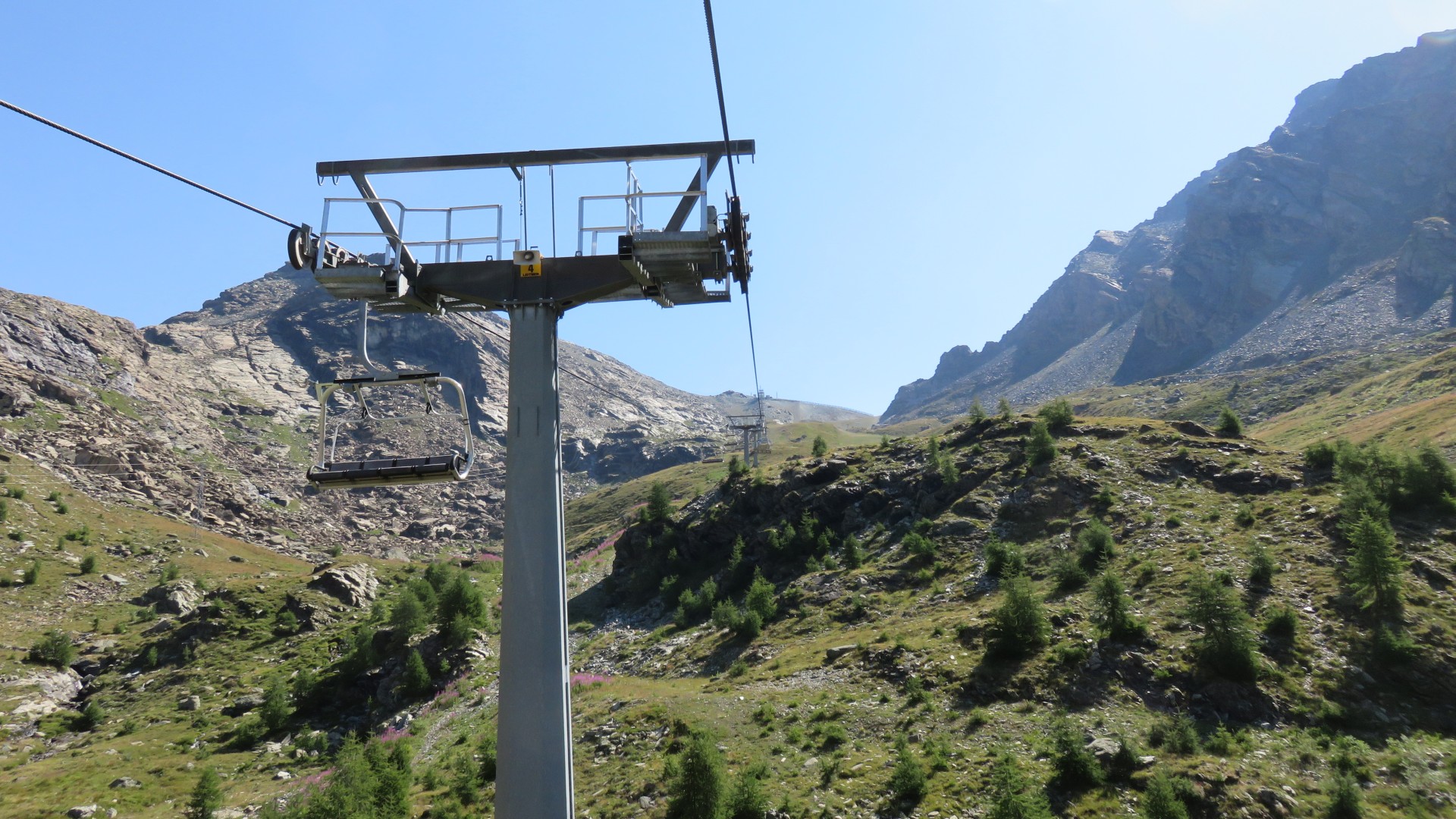
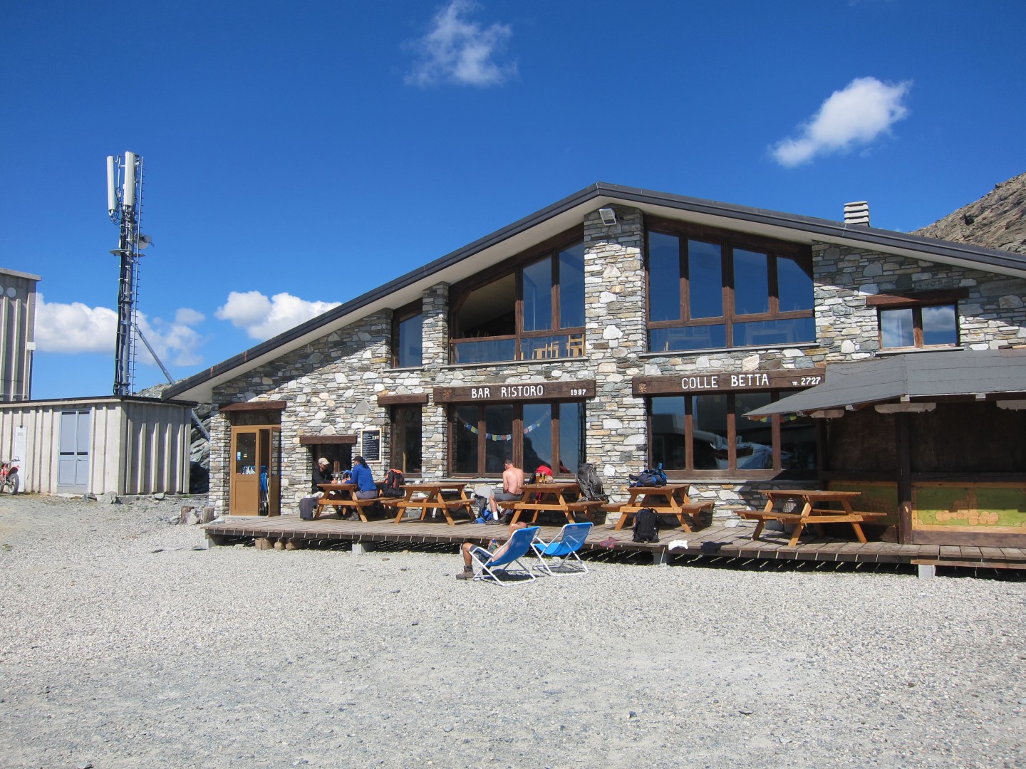
Sant Anna Colla Betta ski lift
10:21
Sant Anna Colla Betta ski lift
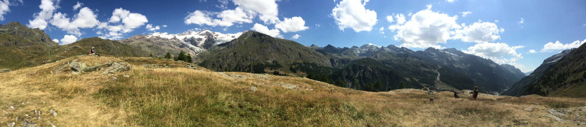
10:22
iPhone panorama - click here for a
full size image of the pano
Pollux 4092m, Castor 4228m, and Felikhorn 4087m are on the left
Valle di Gressoney is center
Sant Anna Colla Betta 2672m ski lift is on the right
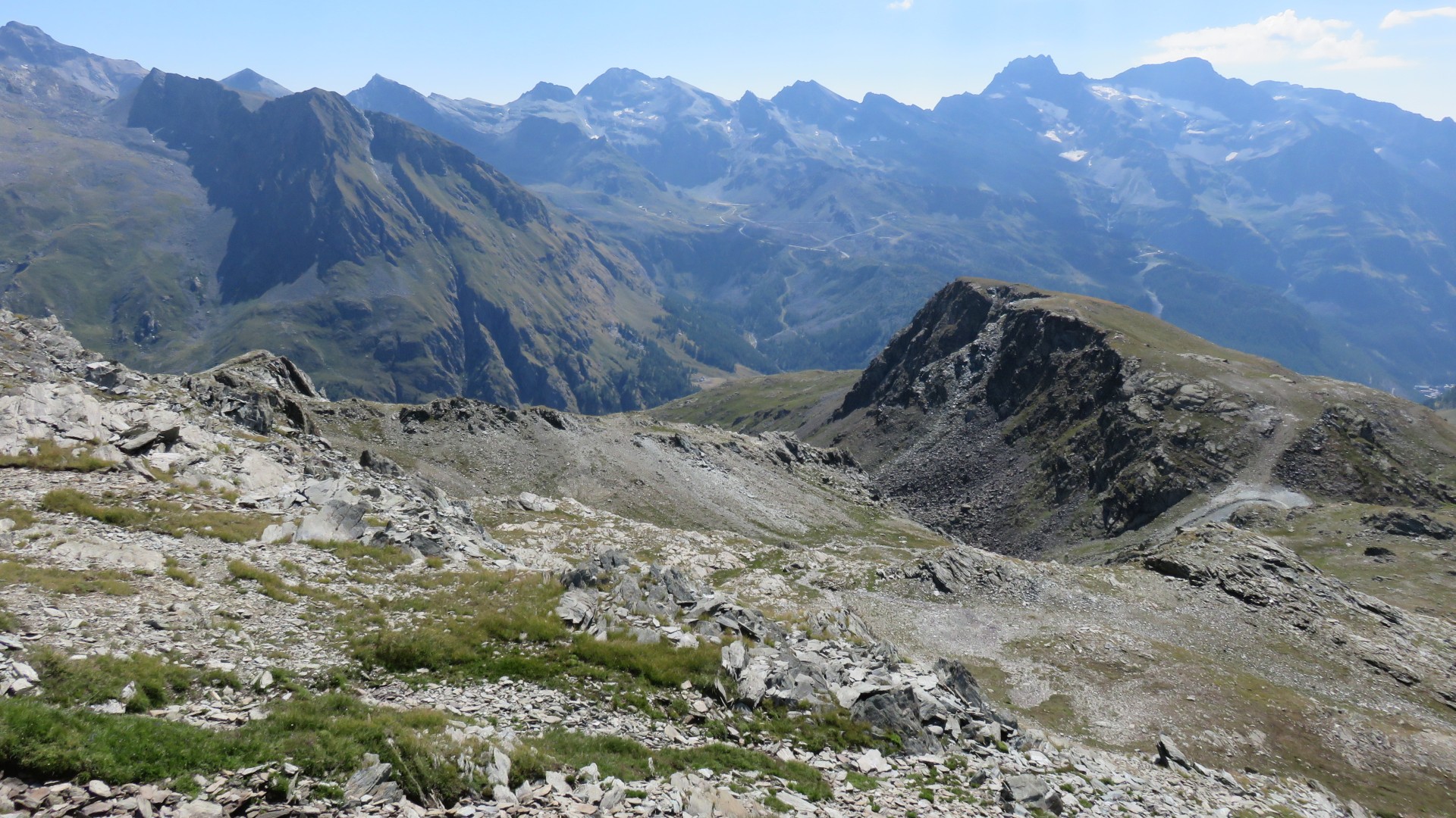
The mountain range seperating the Val d' Ayas that we just left (far
right, over the top of the ski lift) and the Valle di Gressoney doesn't
seem
to have a name
Battbeerg 2971m is the first peak in that range
10:44
Sant Anna Colla Betta ski lift
10:47
Sant Anna Colla Betta ski lift
10:50
10:51
10:53
Sant Anna
The top of the Sant Anna - Stafal lift down to the Valle di Gressoney
is in the
center of the picture
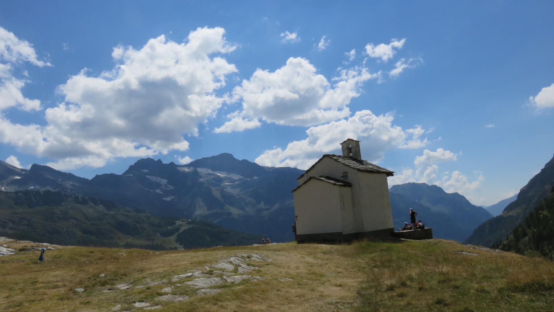
We wandered out to the church at the end of the plateau for pictures
and to see the church.
The church was unfortunately not open.
10:53
11:02
11:04
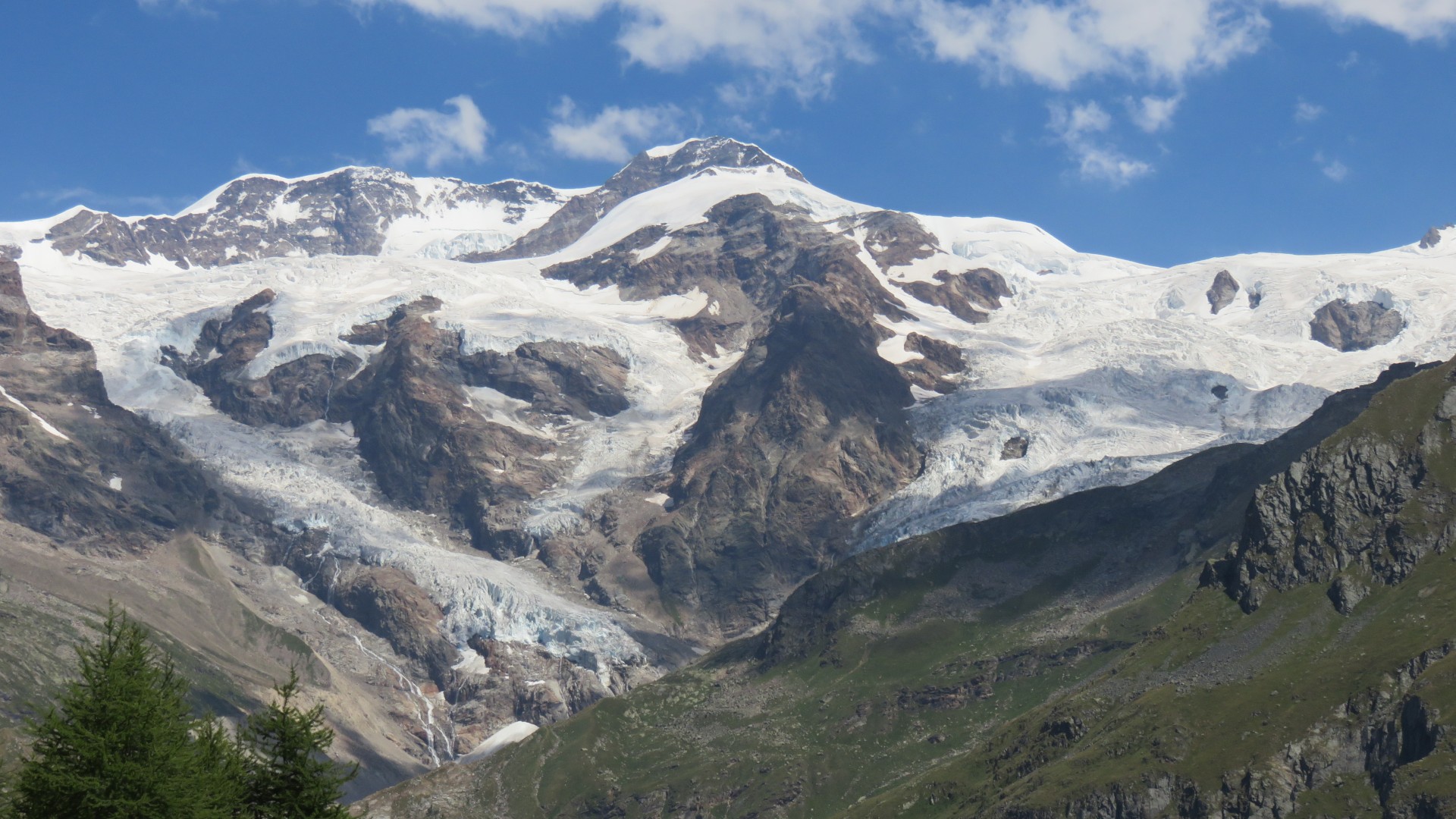
Pollux, Castor, and Felikhorn from Sant Anna
Felik Glacier is in the center, Lys Glacier is on the right.
Paul's pic
11:07
Pollux, Castor, and Felikhorn from Sant Anna
Felik Glacier is in the center, Lys Glacier is on the right.
11:08
iPhone panorama - click here for a
full size image of the pano
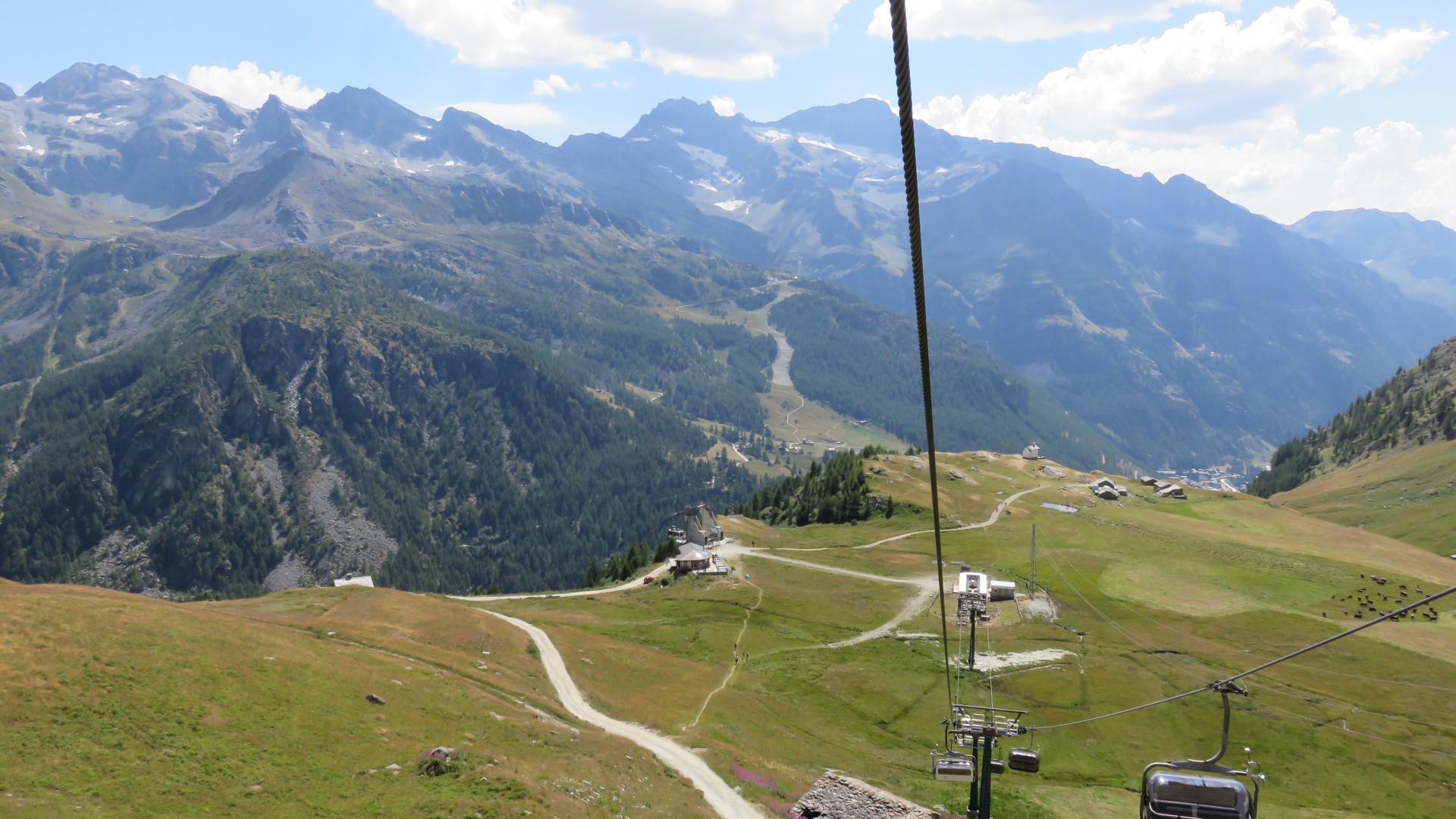
I knew that all the lifts would close at various times around lunchtime
for about an hour
We had a goal of having a beer in every town we encountered, but I
argued that we'd never get to Rifugio Gnifetti if we stuck with that
plan.
We went down the Sant Anna - Stafal lift
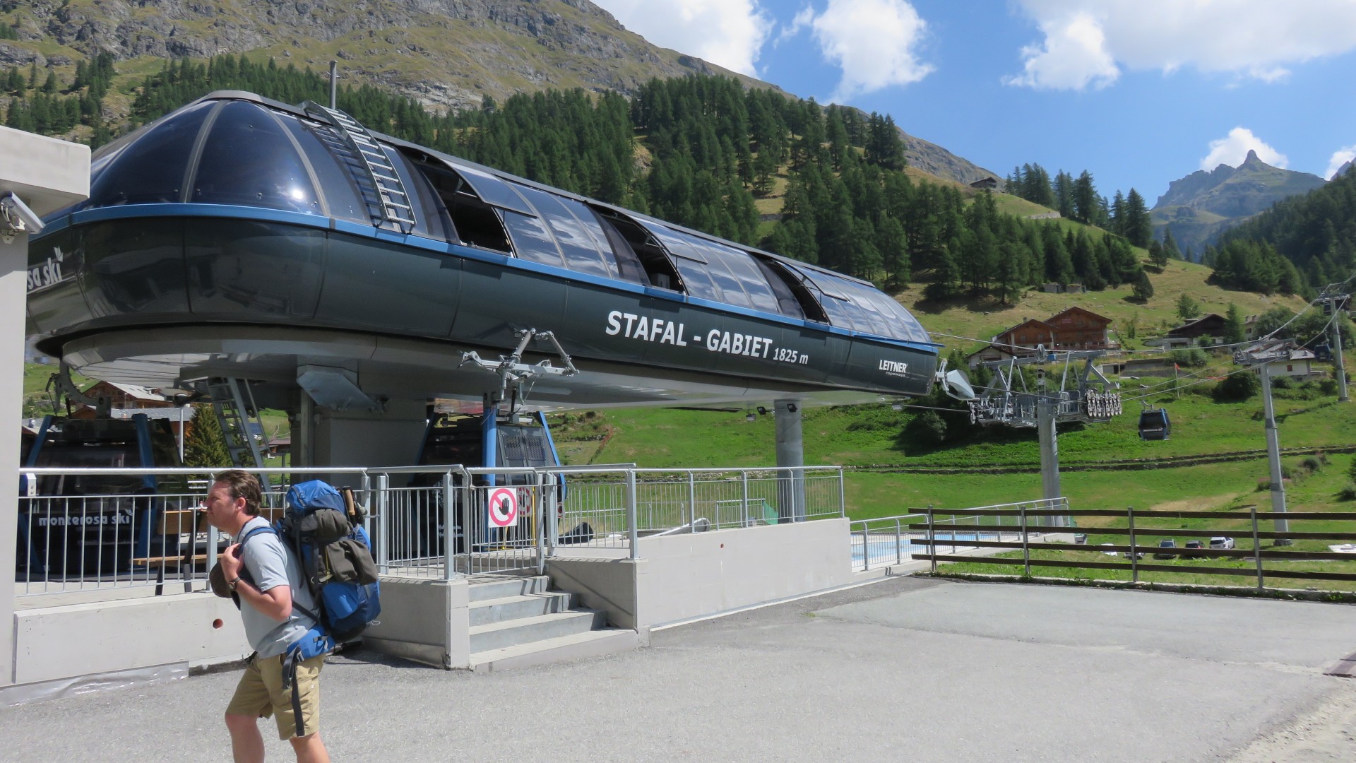
I then argued that we'll have better views for our beer drinking and/or
lunch from anyplace higher up than the valley floor, so we immediately
took the lift up from Stafal to Gabiet
11:20
Stafal
11:20
11:20
Stafal
11:33
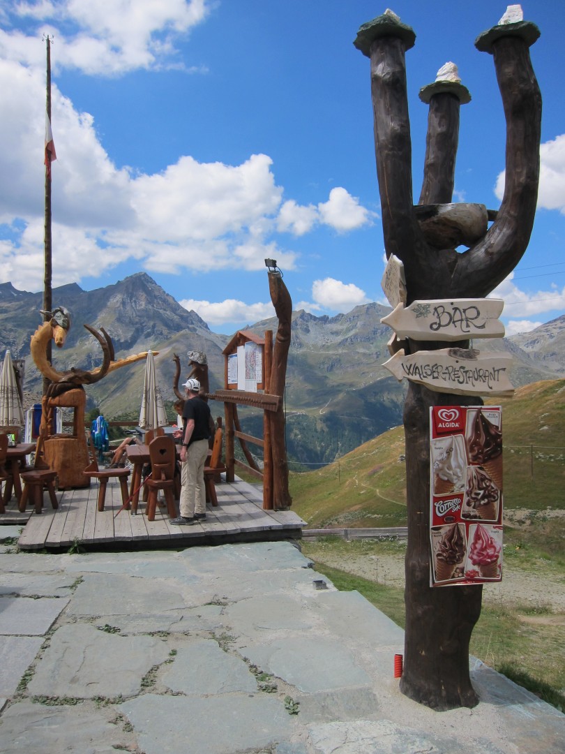
We debated whether to hike up to the Gabiet restaruant and bar (top
center) or to take
the lift higher up to Passo dei Salati
We hiked up to the bar of course...
11:41
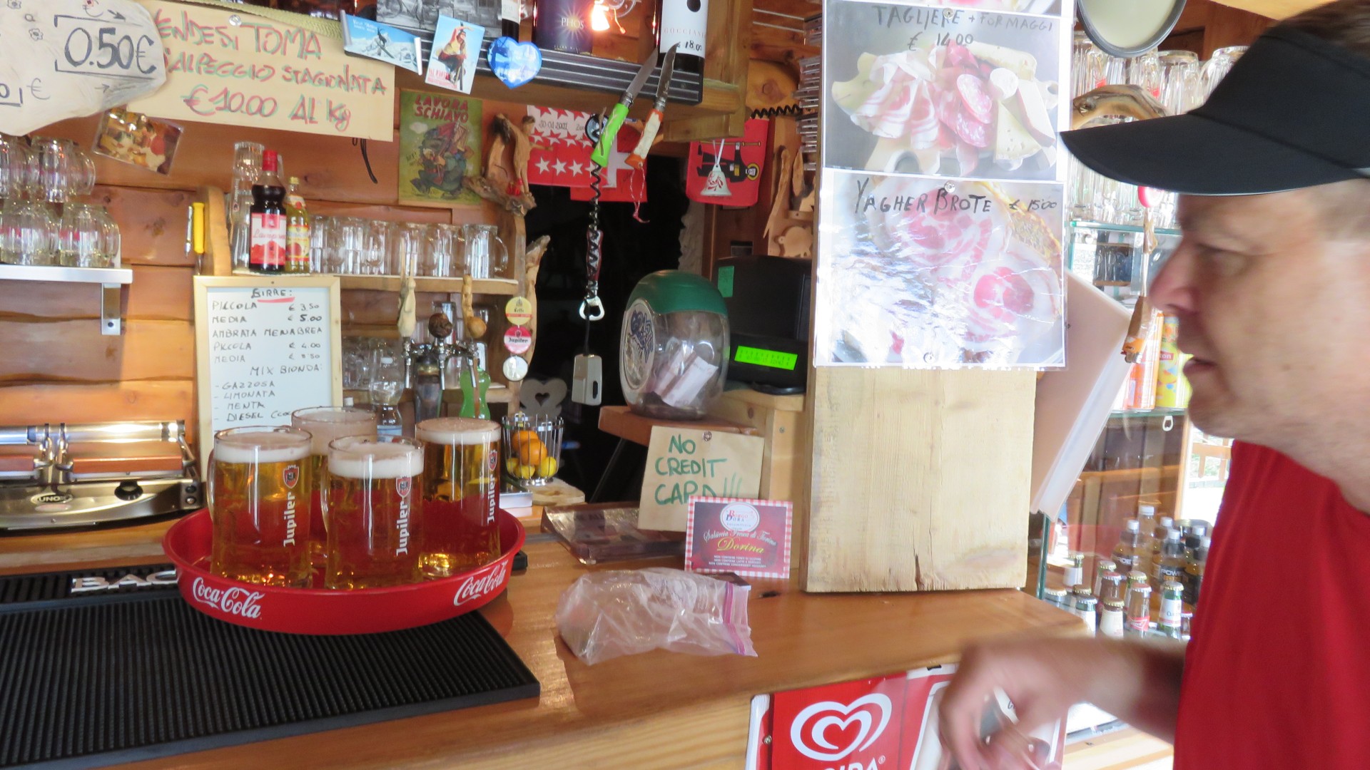
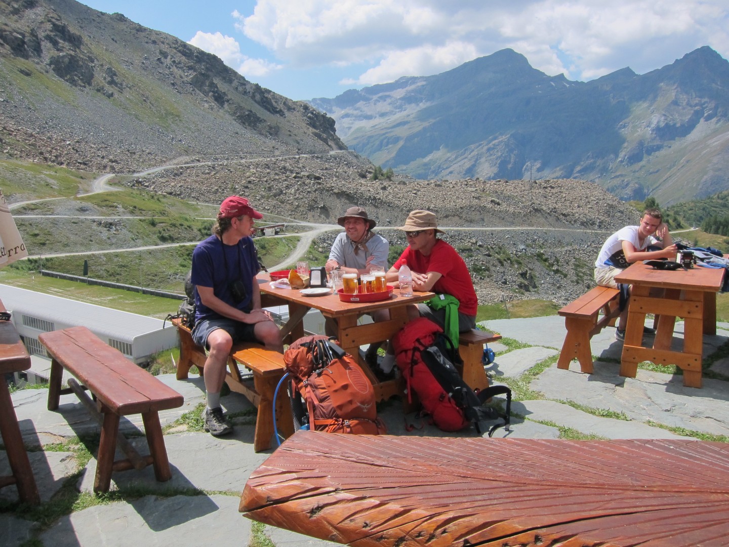
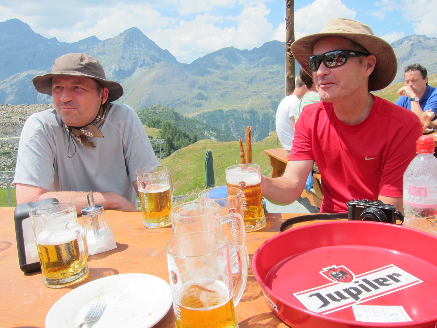
First round of beers in Gabiet
Paul's pic
Paul's pic
Paul's pic
Paul's pic
Paul's pic
Paul's pic
While we were lounging and drinking beer the lift from Stafal shut
down, and a few minutes later the lift from Gabiet up to Passo dei
Salati shut down.
Unfortunately the menu here was completely in Italian and no one seemed
to speak a word of English.
No one seemed terribly interested in lunch except for me, so I stood in
the very slow line for a sandwich and another round of beers.
In hindsight I should have bought more food, cause eventually the lift
restarted and no one else had eaten anything.
We got on the lift....
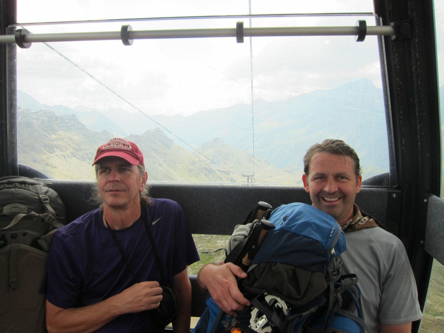
1:02
1:09
Paul's pic
1:16
Passo dei Salati
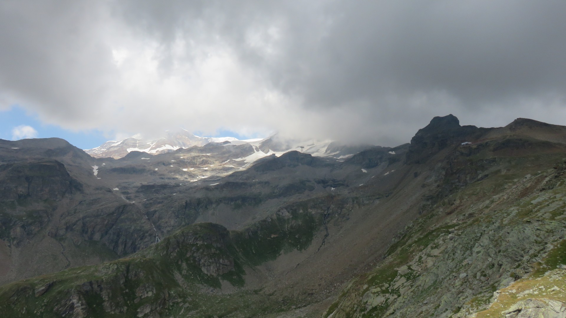
Clouds were blowing in from Alagna Valsesia
1:16
1:42
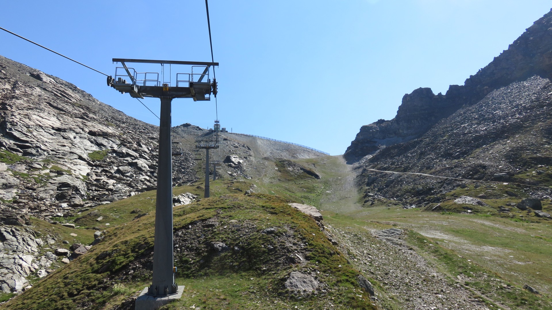
2:19
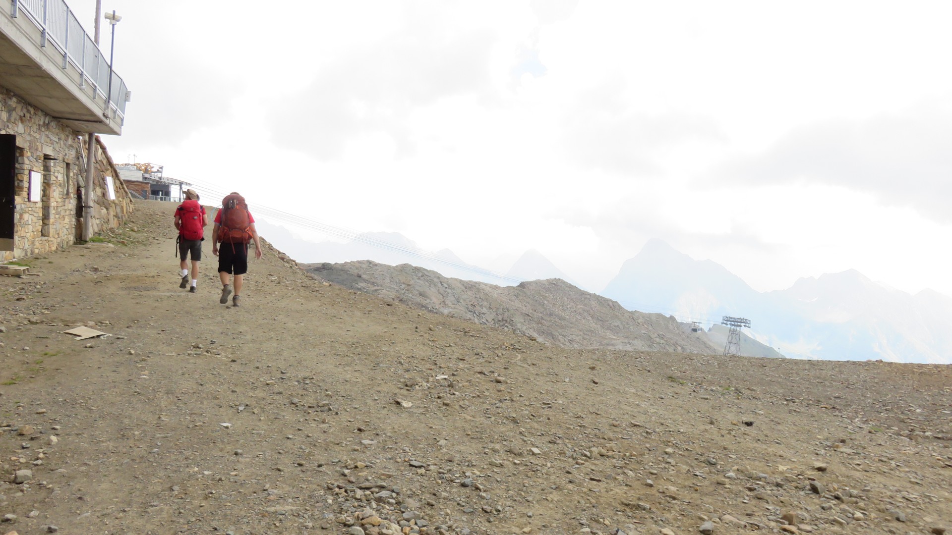
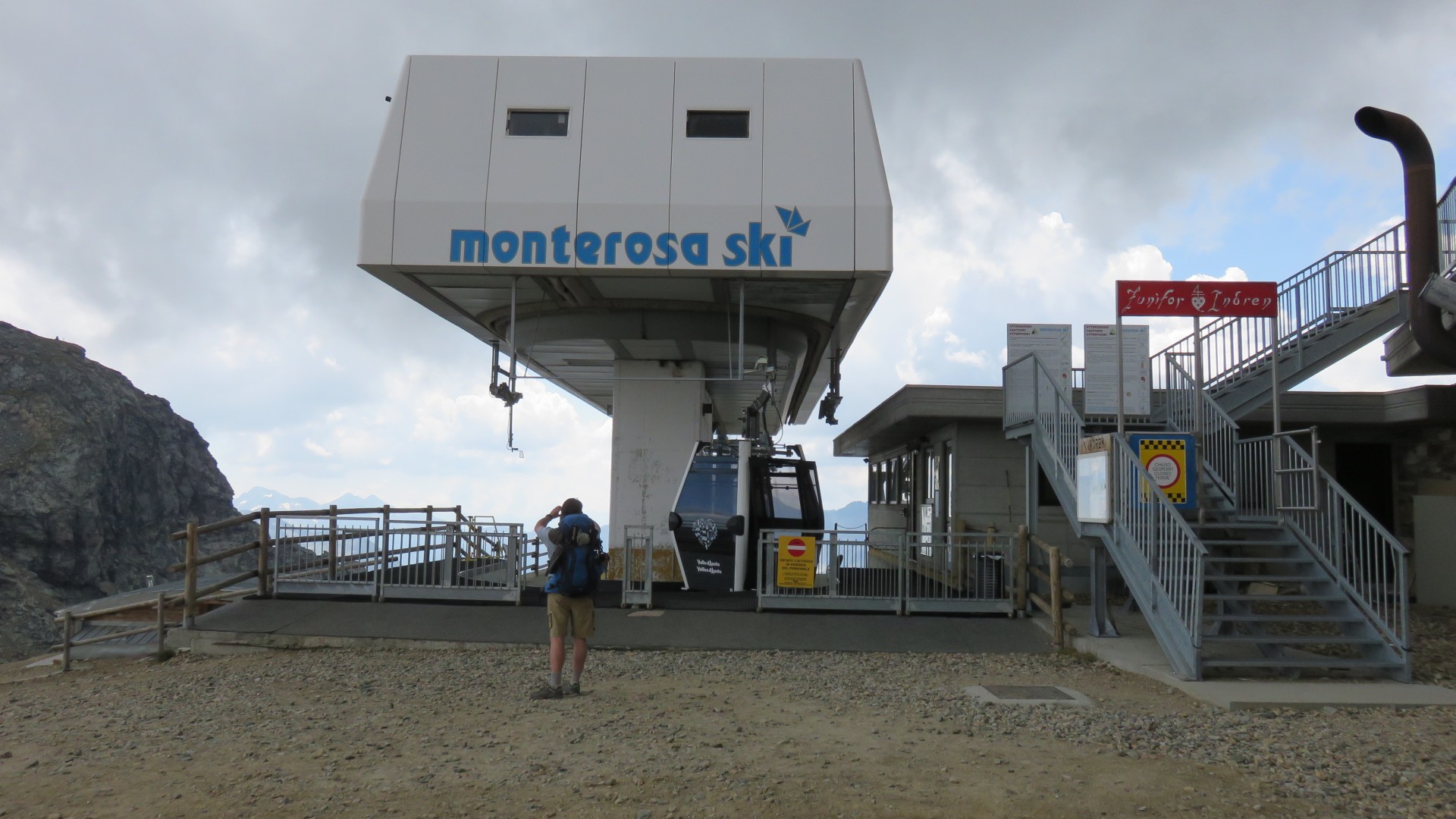
Top of the lift Punta Indren
Now we actually have to walk again!
2:19
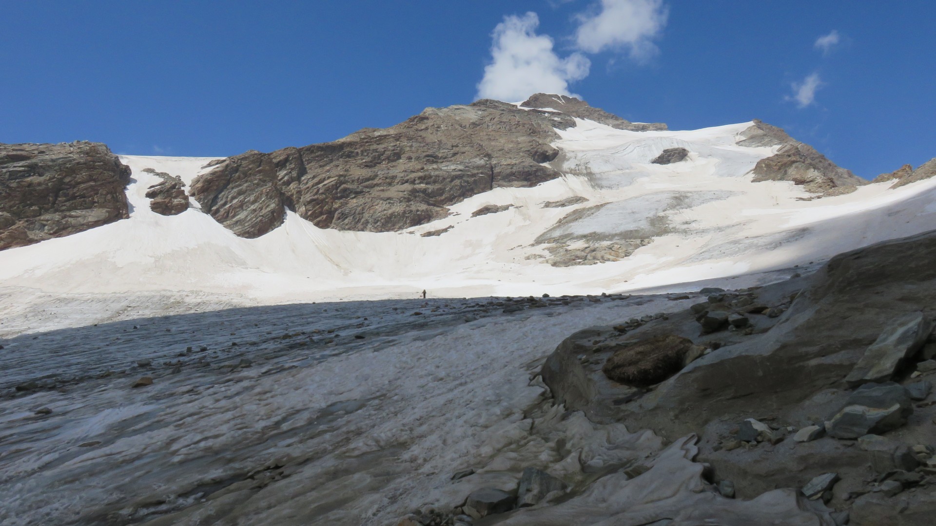
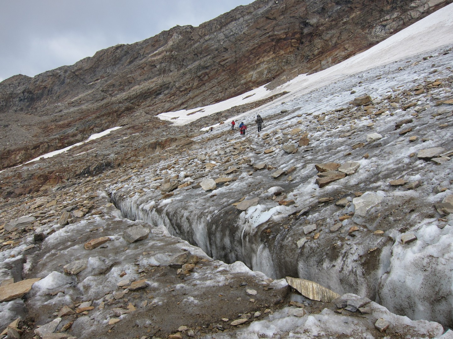
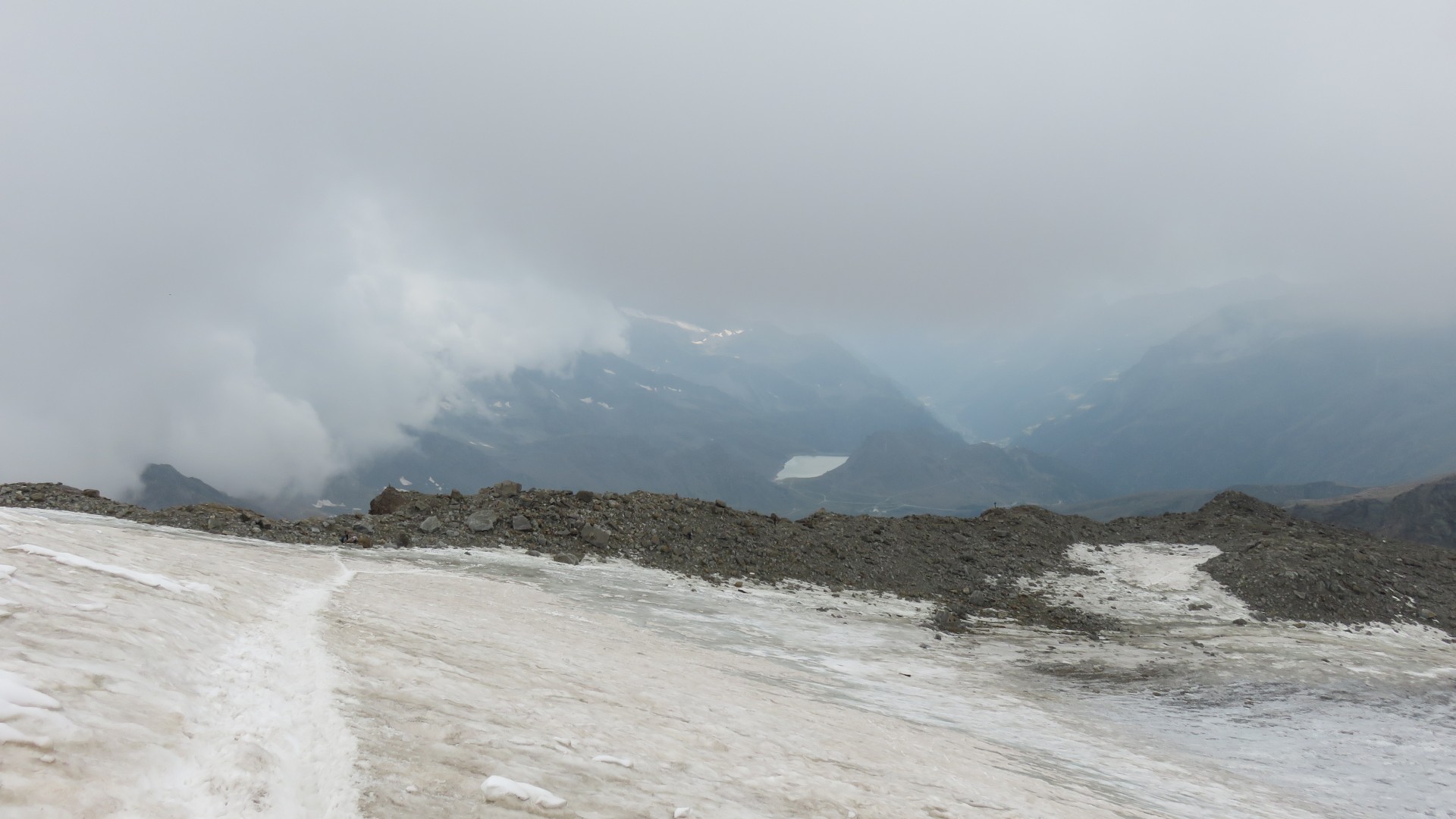
Endre Glacier
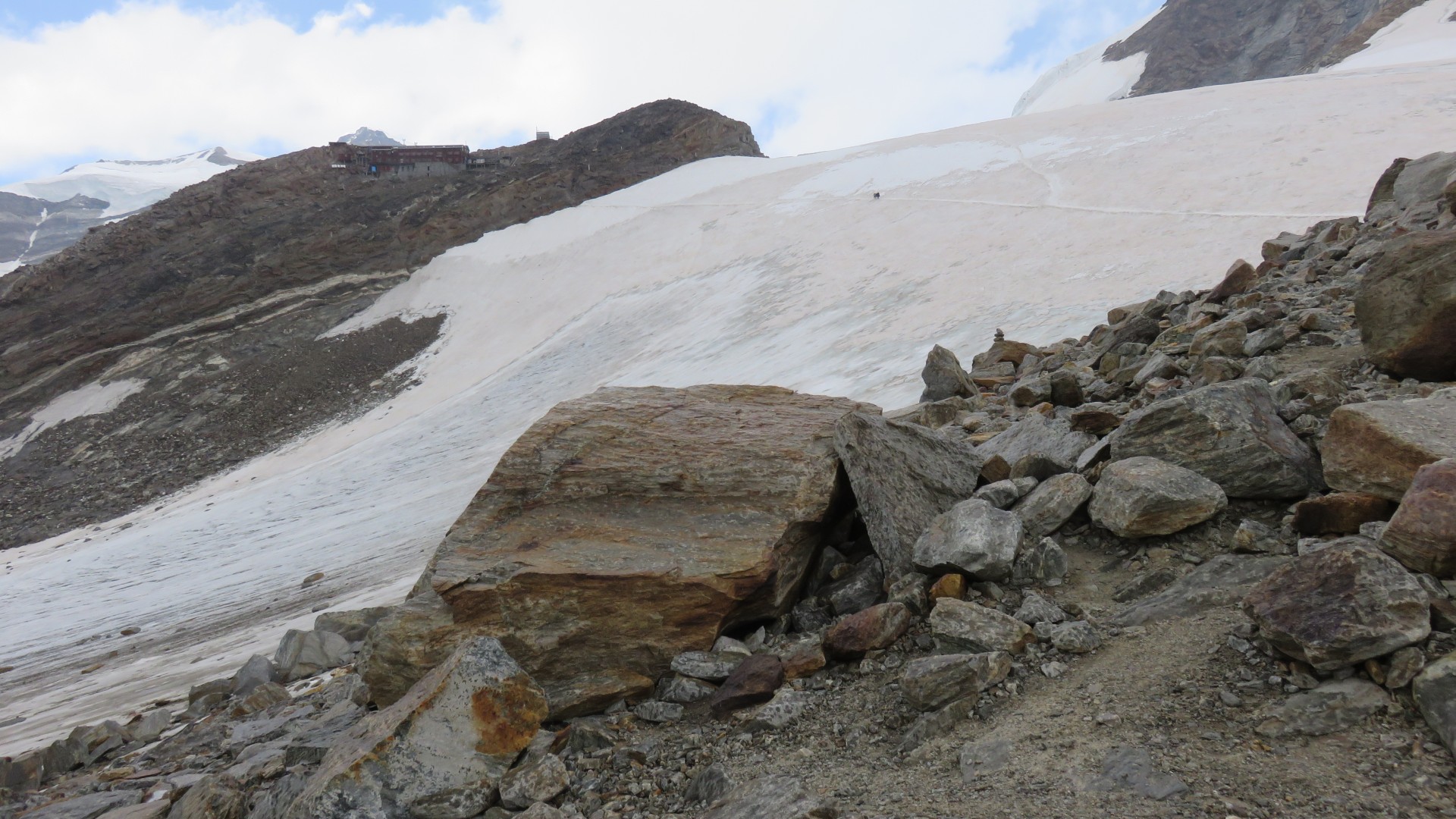
2:19
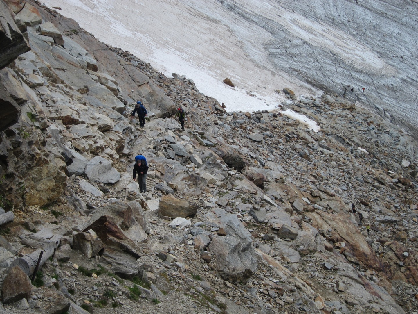
The 'hike' up from Endre Glacier to Lys Glacier and the Rifugio
Gnifetti is the first section of diagonal line in the rock.
About halfway up that line the trail heads back toward the upper right
2:19
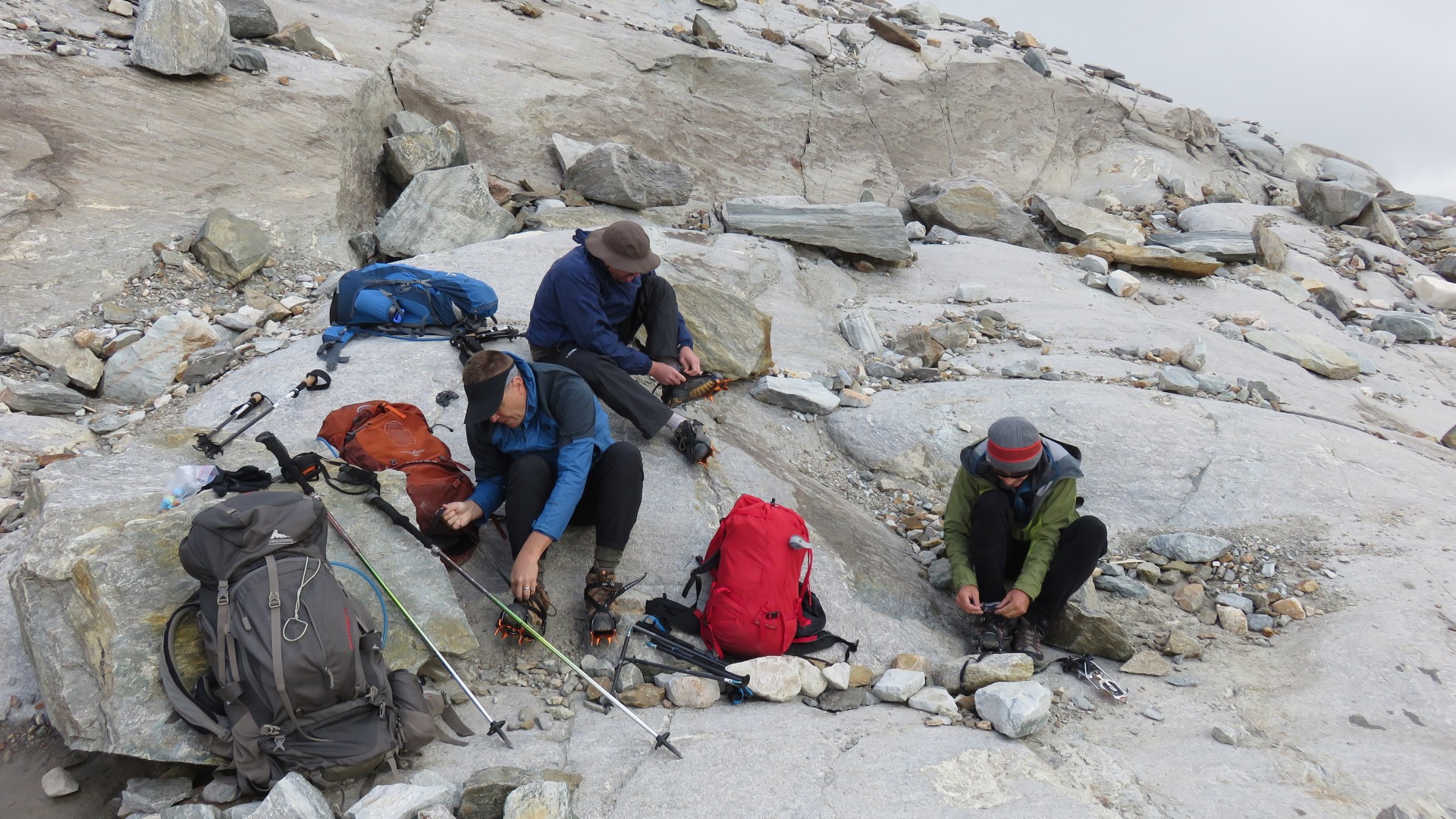
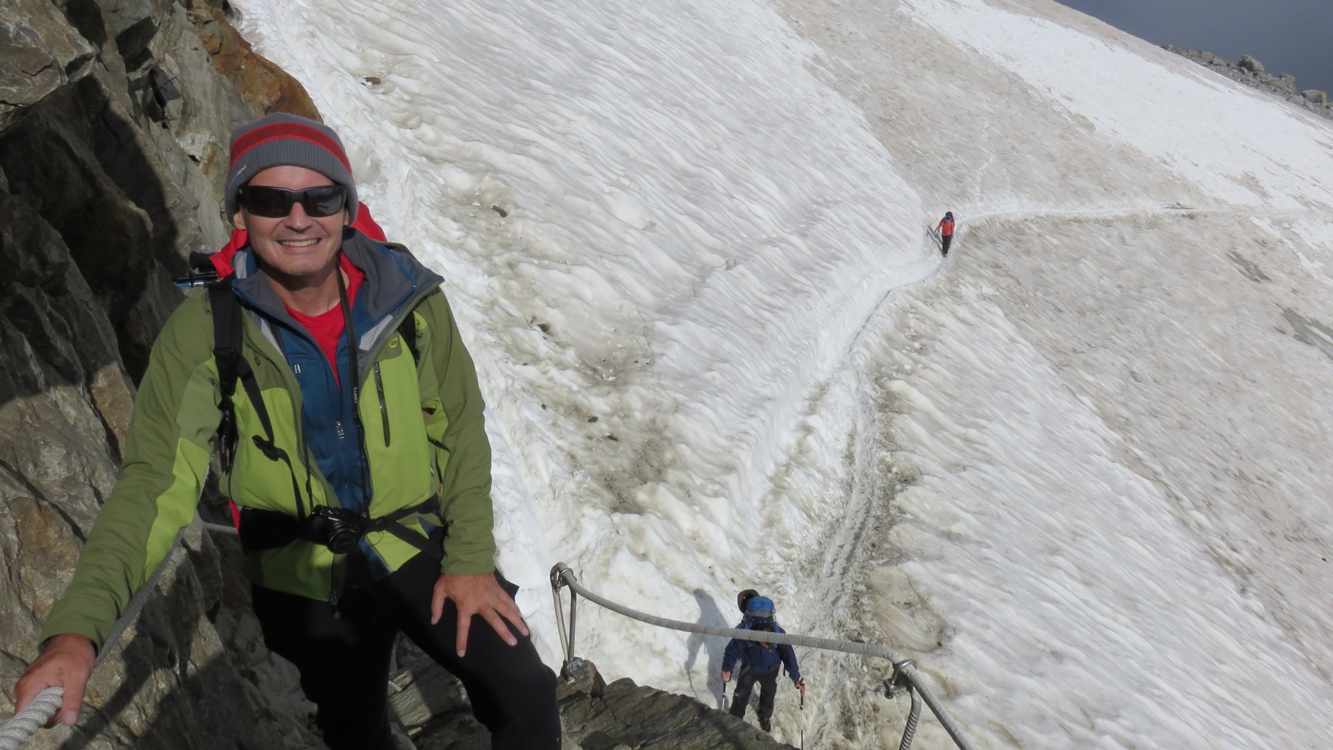
Crampon time...
Paul's pic
Paul's pic
Paul's pic
3:00
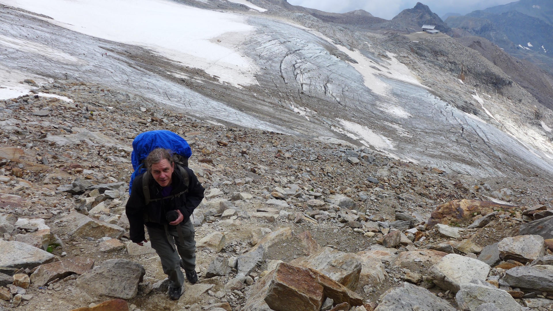
The 'hike' up from Endre Glacier to Lys Glacier and the Rifugio Gnifetti
Paul's pic
Paul's pic
Kent's pic
Paul's pic
3:07
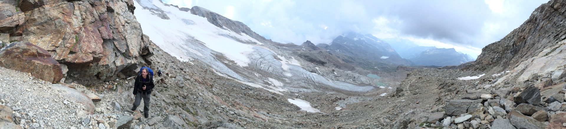
Looking back on the Endre Glacier
3:10
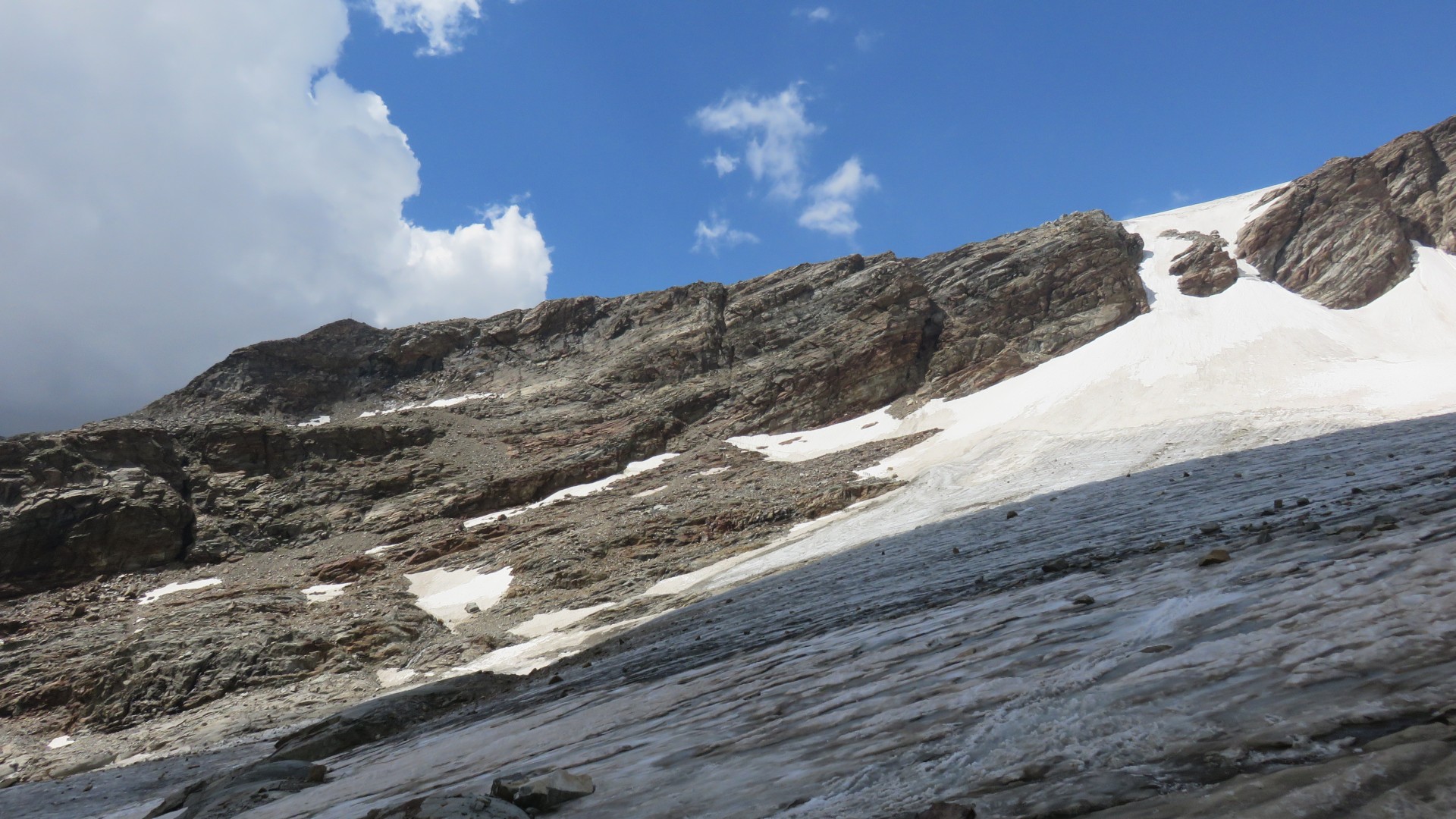
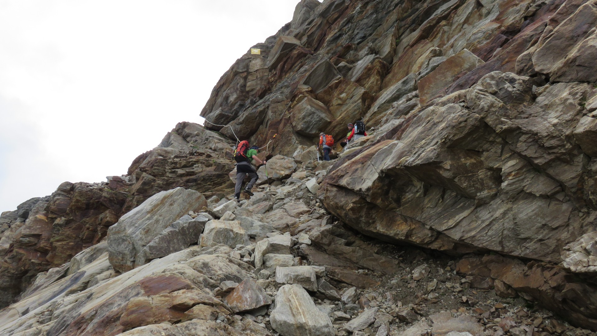
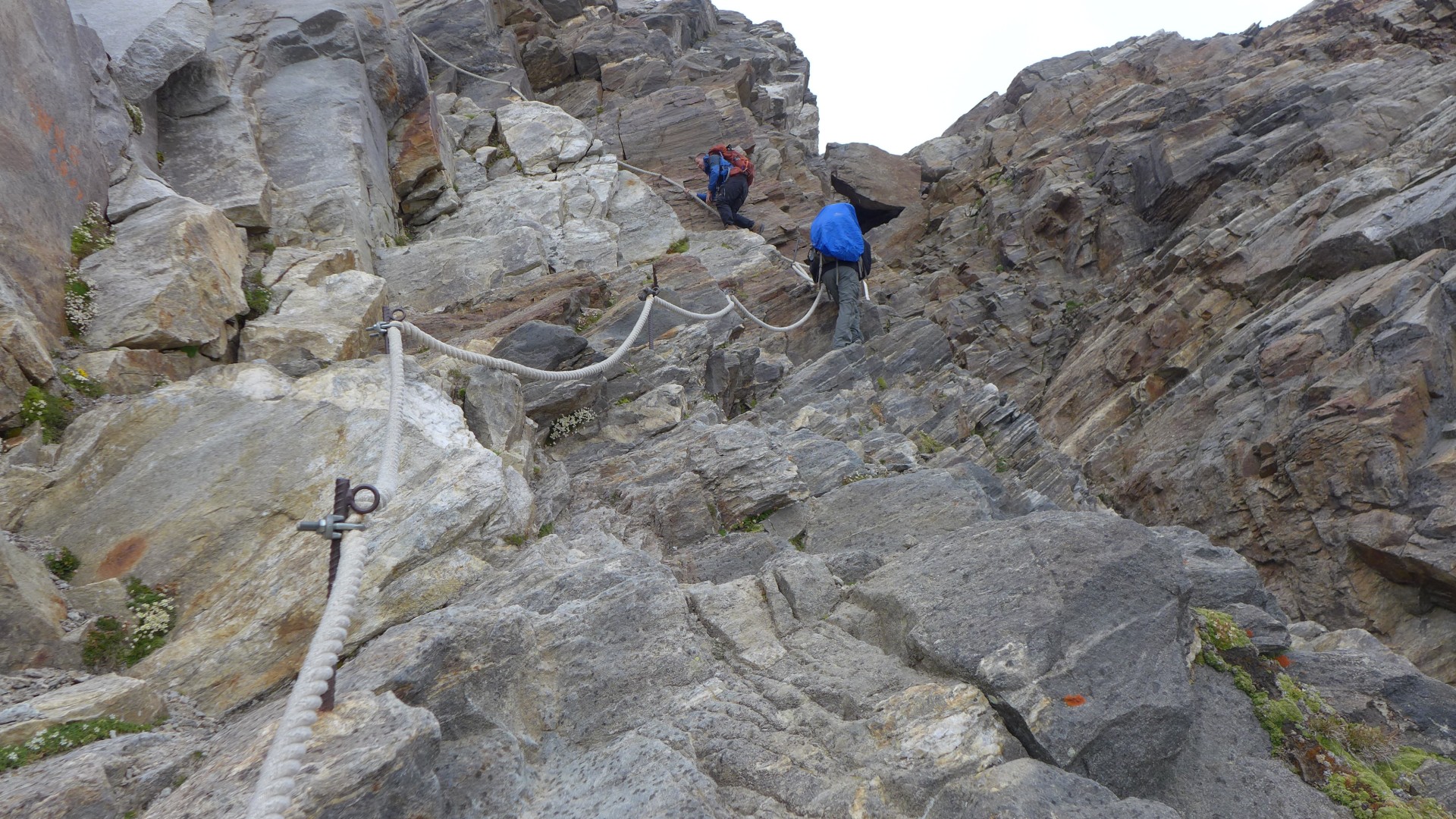
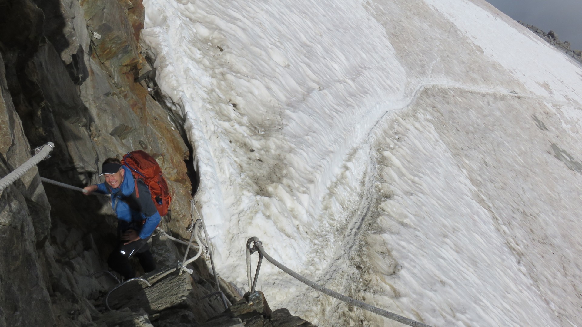
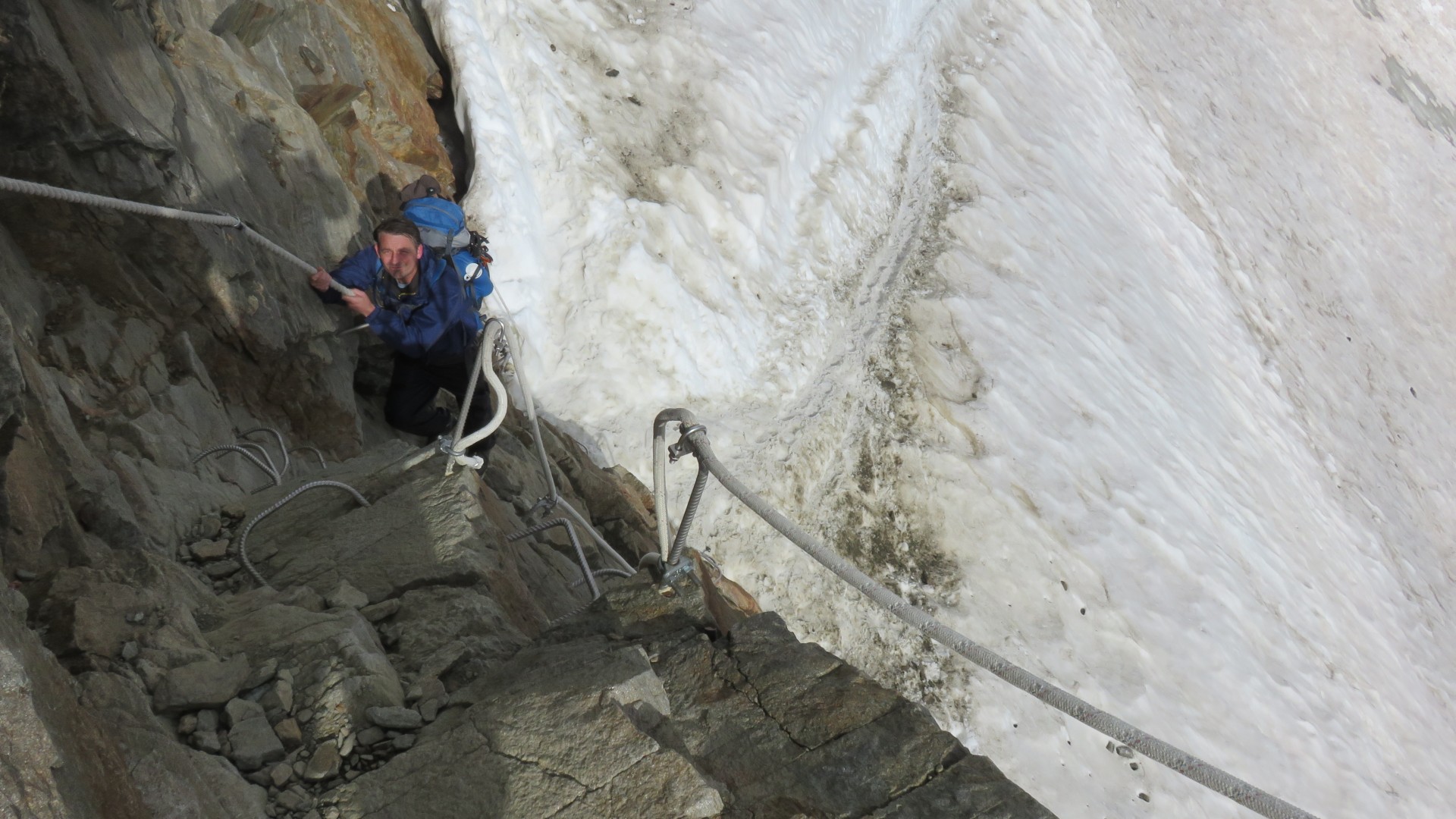
This is where the 'hike' to Lys Glacier and the Rifugio Gnifetti cuts
back
Kent's pic
3:20
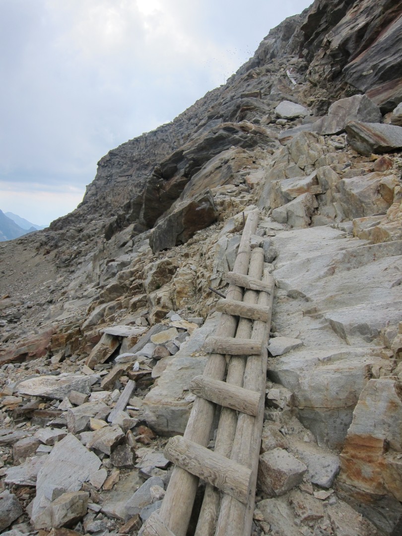
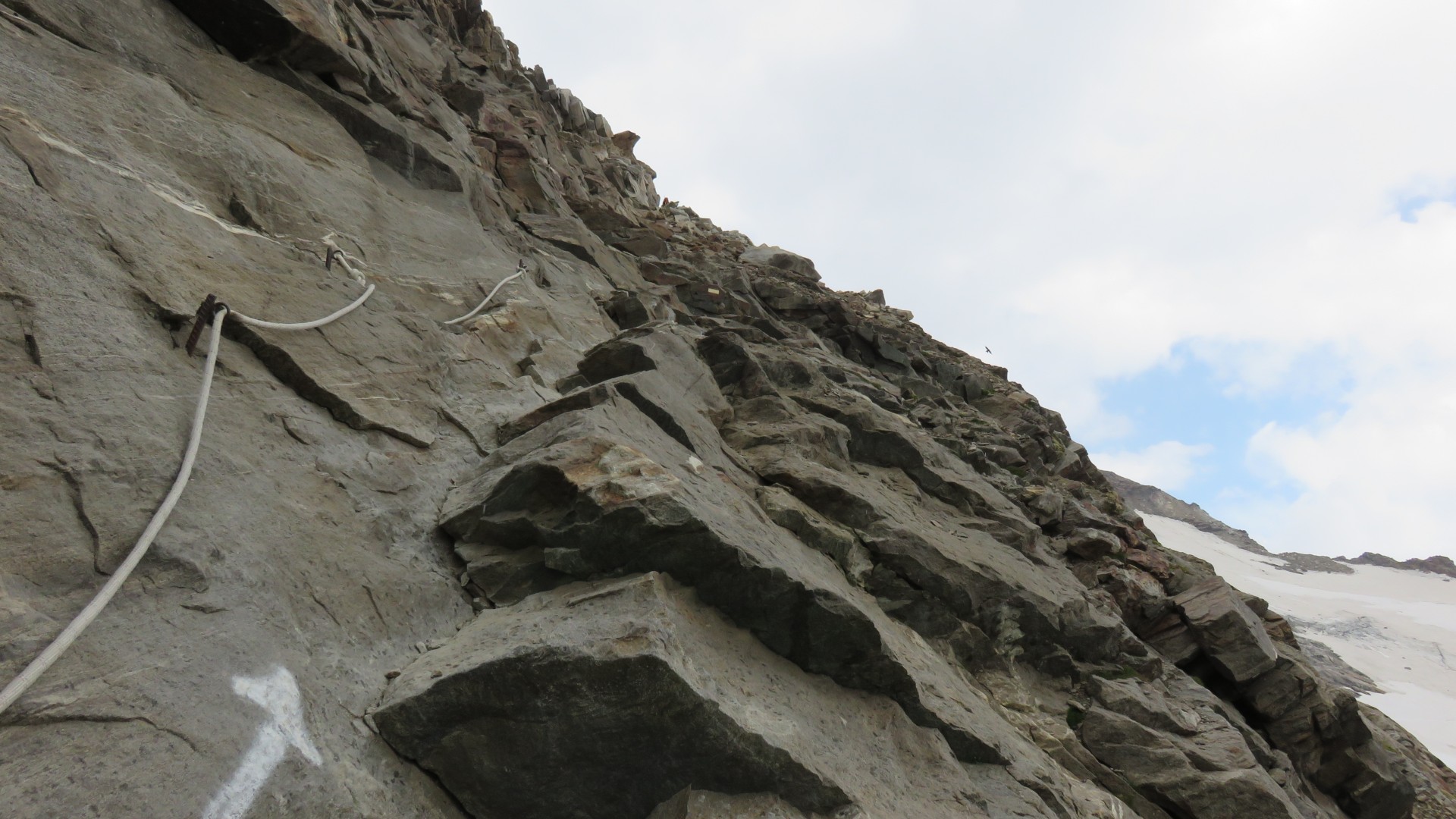
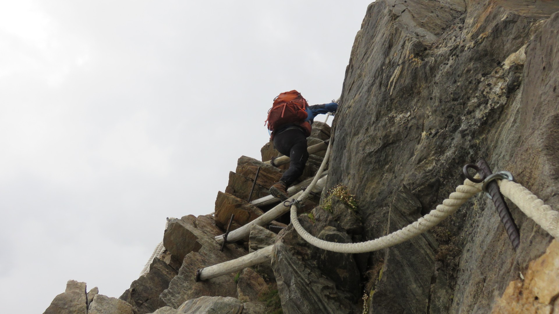
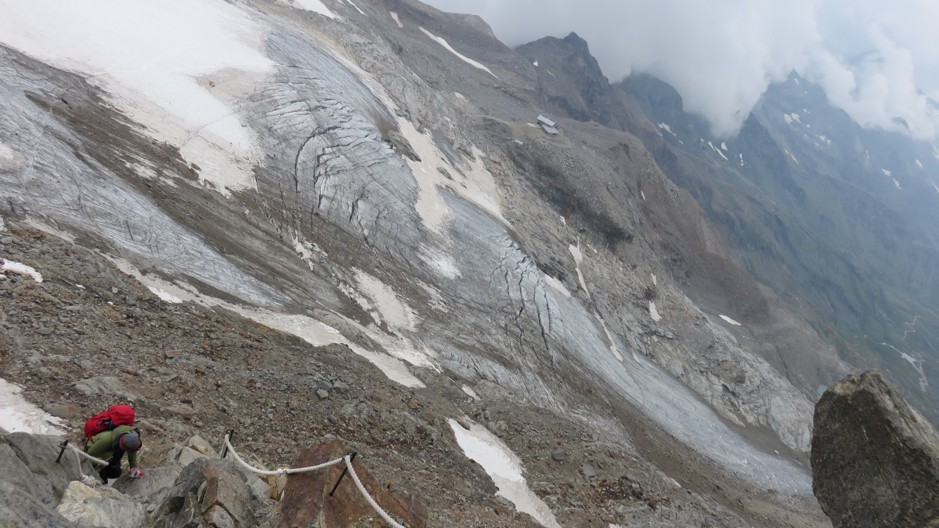
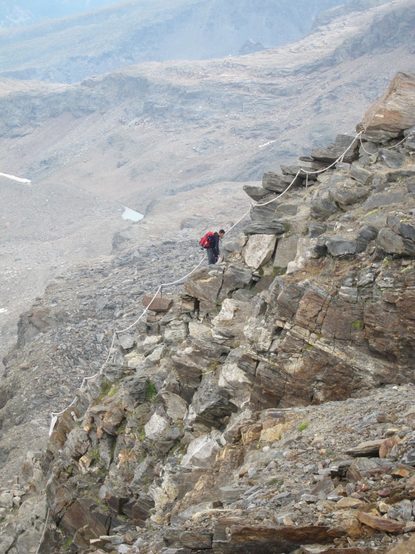
This 'hike' is quite vertical and requires lots of 'batmanning' -
dragging yourself up with the rope.
3:20
This was fun!
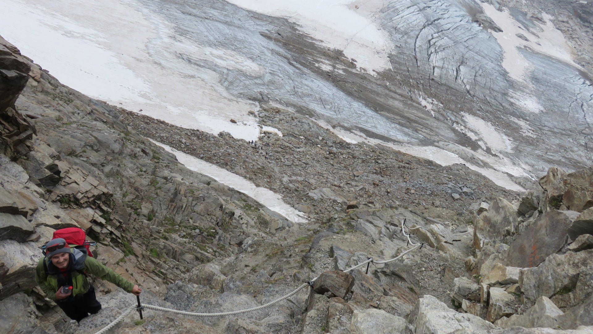
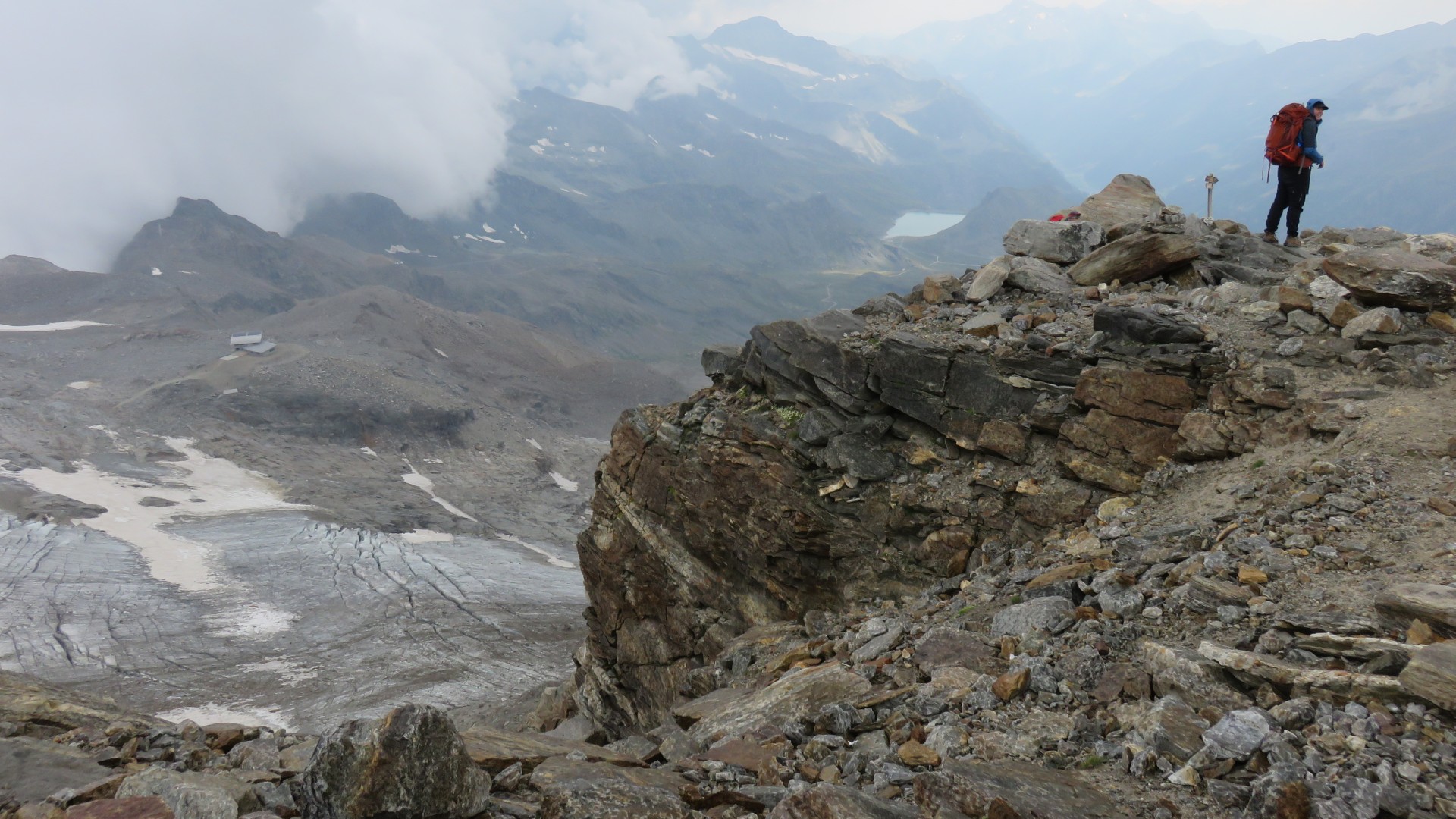
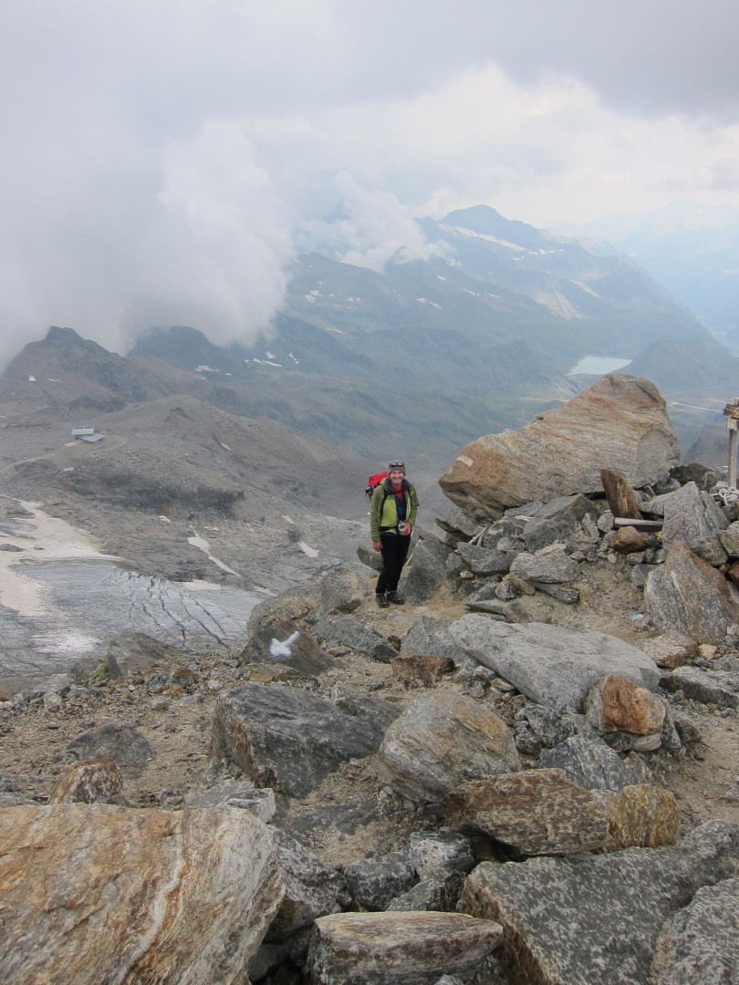
3:22
We've gained quite a bit of elevation since Endre Glacier but it isn't
easy to see in this picture
3:24
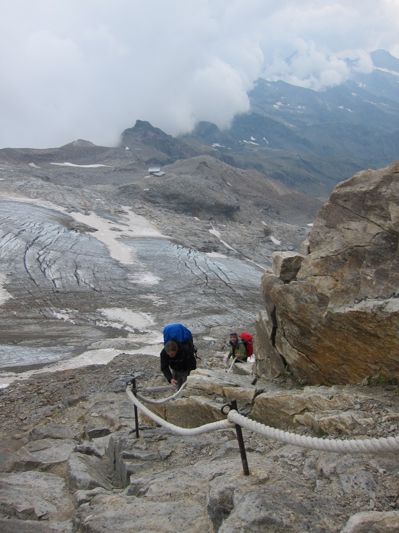
Top of the rock climb between the Endre Glacier and the Lys Glacier
Paul's pic
Paul's pic
Paul's pic
Paul's pic
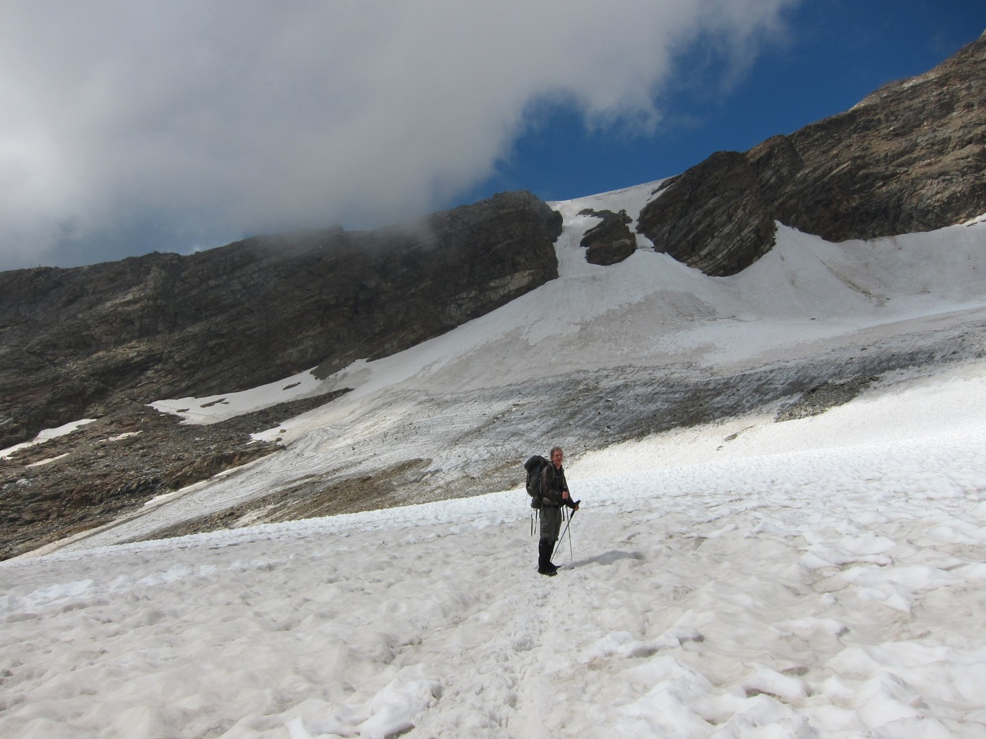
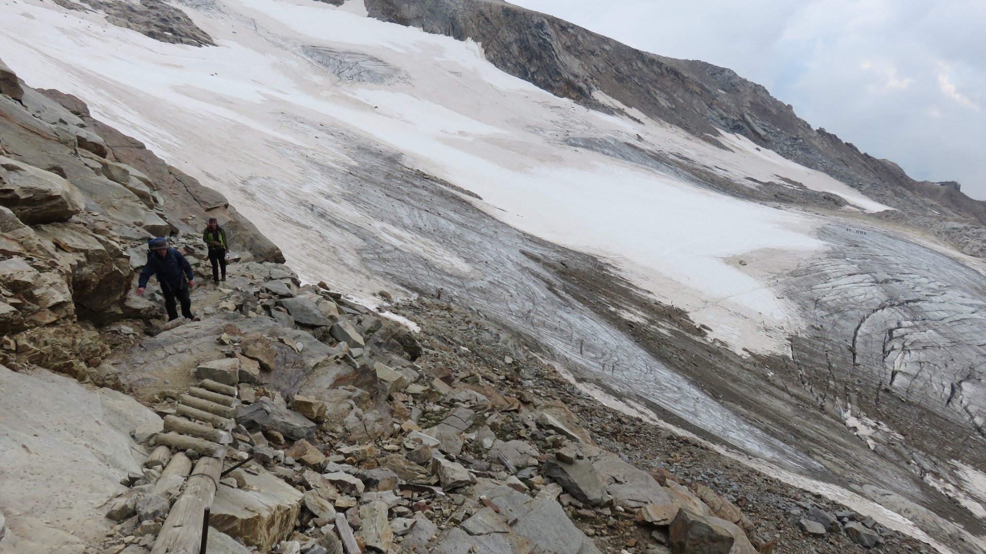
3:24
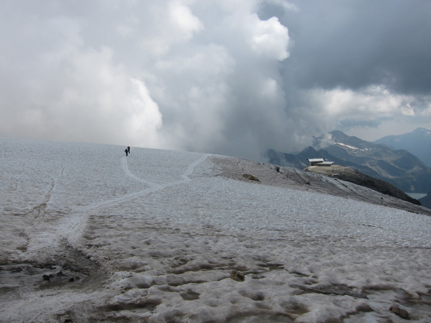
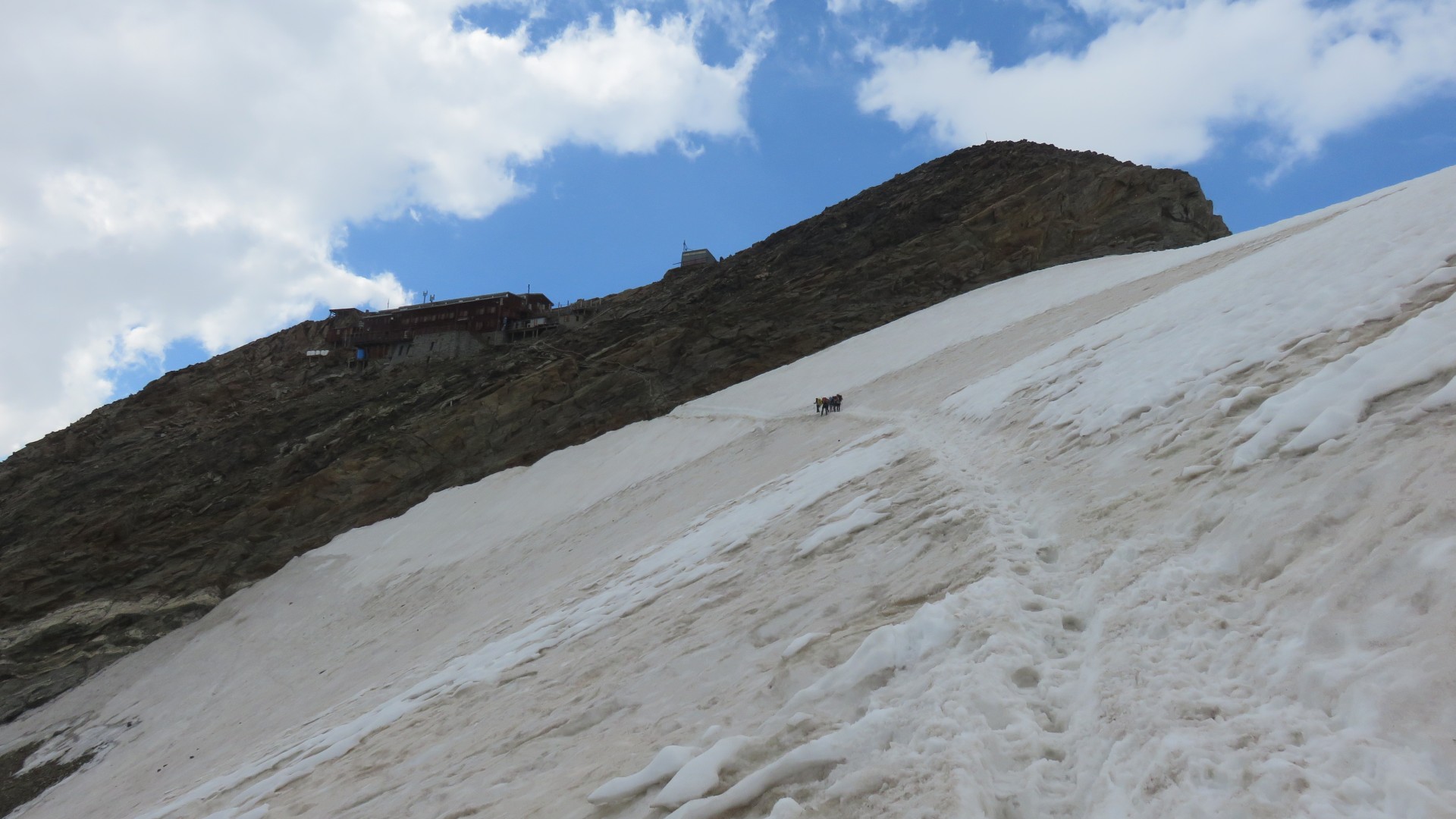
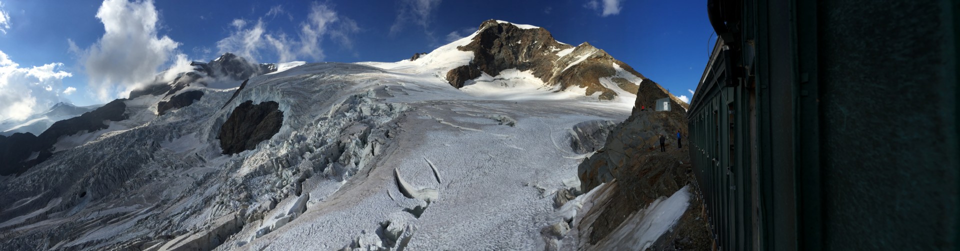
Lys Glacier and Rifugio Gnifetti
3:39
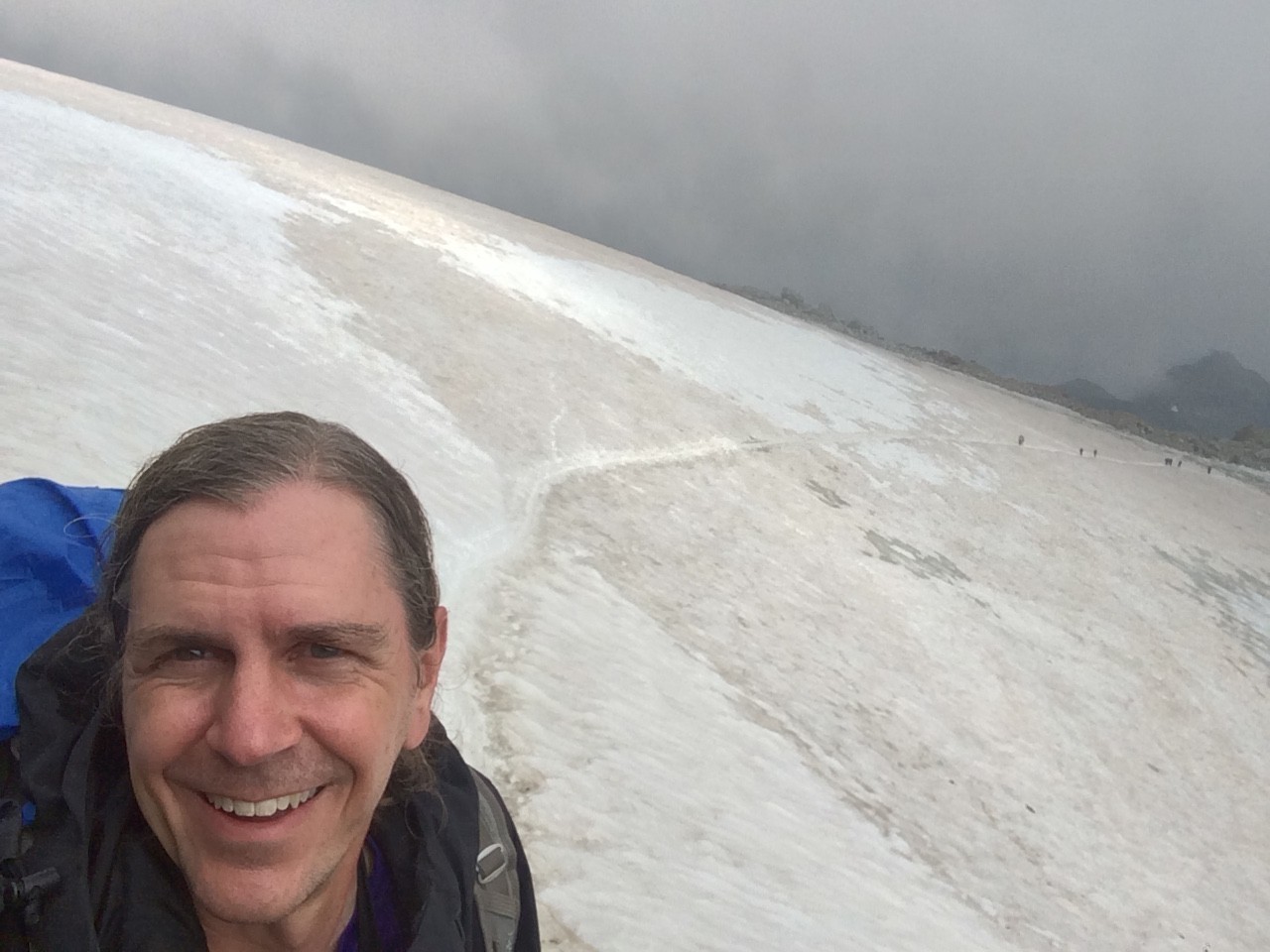
Looking back on the Lys Glacier
We had watched large number of climbers ahead of us cross both glaciers
without crampons.
While I quickly put on crampons for the Endre Glacier, I sized up the
track across the Lys Glacier, decided that I didn't need crampons,
started hiking, and was soon halfway across.
3:39
Lys Glacier and Rifugio Gnifetti
3:51
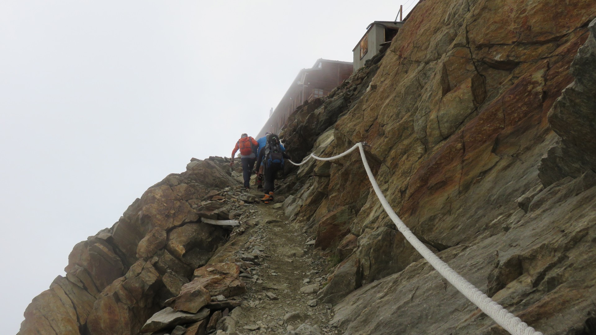
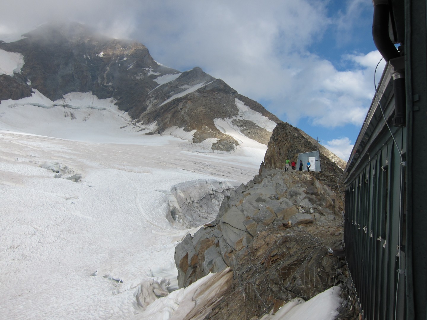
The last few feet up to Rifugio Gnifetti.
I the end of the glacier and couldn't even seen Paul, Kent, and Jed on
the glacier behind me.
I decided to hike up and check in.
The had placed us in room 12 on the top floor.
I took the pack up, left it in the room, and came back down to the
of climb up from the glacier to the hut
Turns out Paul had put on his crampons and started across the glacier,
making it about a third of the way across, before realizing that he
left his pack back on the rocks.
Finally Kent, Paul, and Jed crossed the glacier.
Paul's pic
4:20
4:23
Paul also forgot his hiking poles at the bottom of this climb.
I climbed down in my hut slippers and got them from Jed.
4:29
4:39
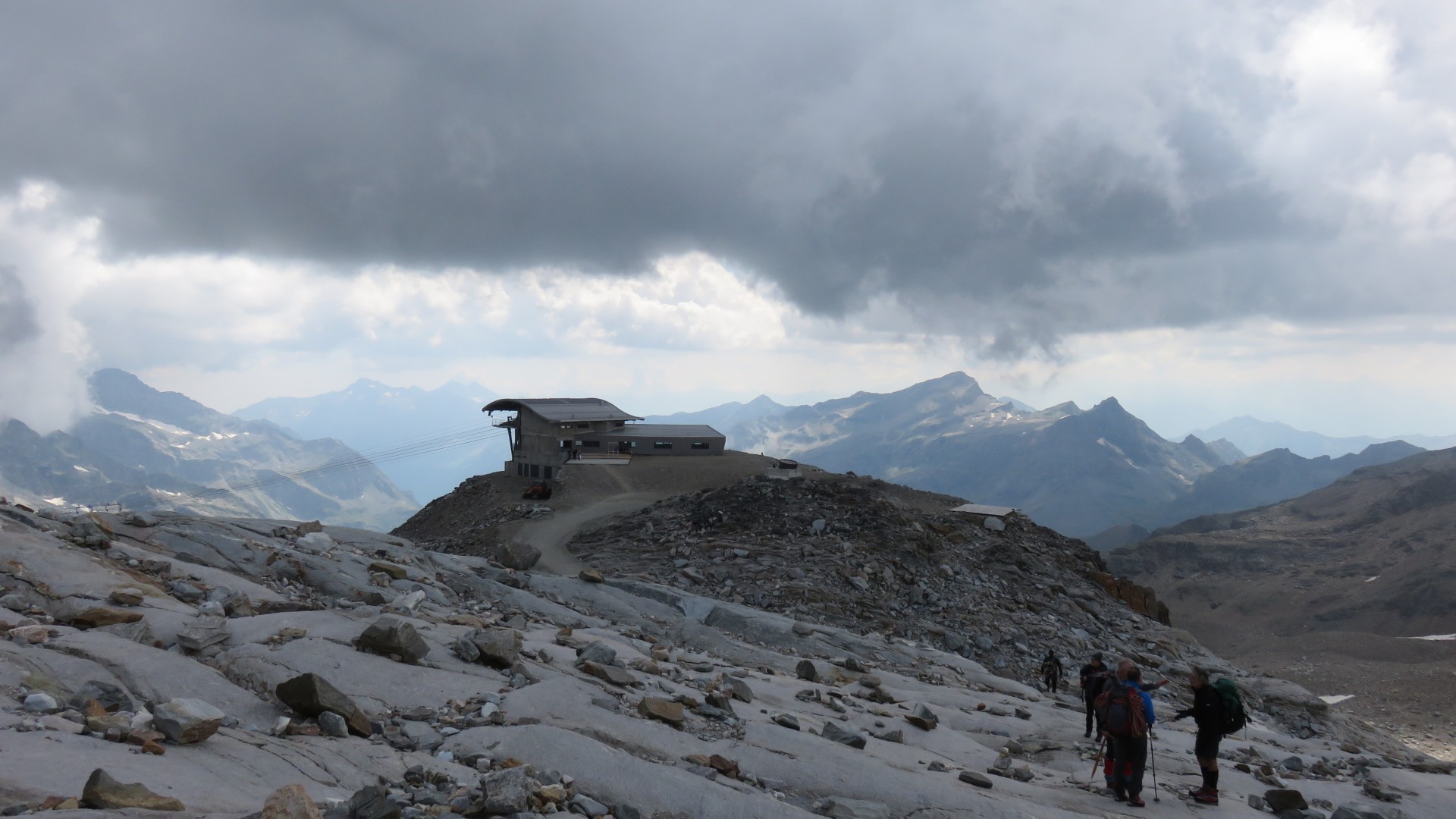
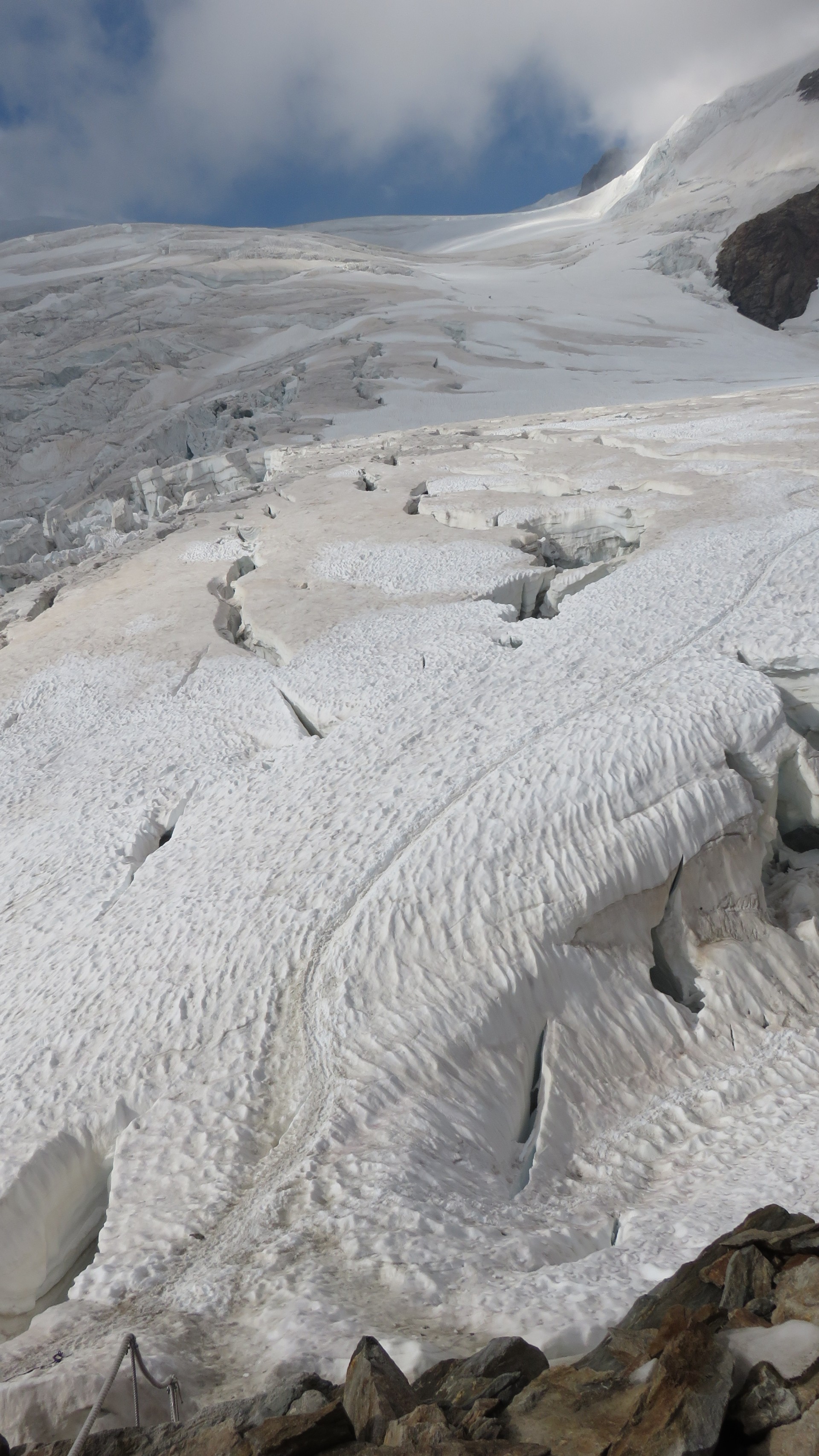
The climb up from Rifugio Gnifetti to the top of Monte Rosa
If you look closely you'll see climbers descending
4:40
Paul's pic
Paul's pic
Pauls pic
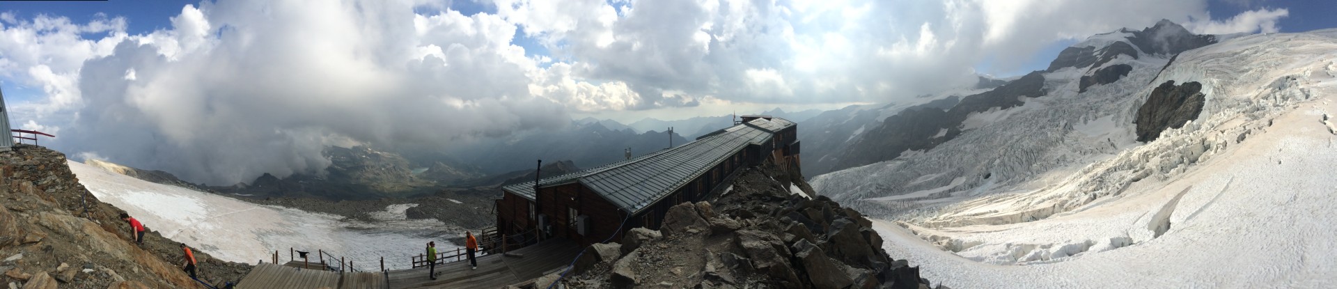
iPhone panorama, click here for a full size image
4:45
iPhone panorama - click here for a
full size image of the pano
Lys Glacier is all around the Rifugio Gnifetti
The glacier crossing we just came up to get to Gnigetti is on the left.
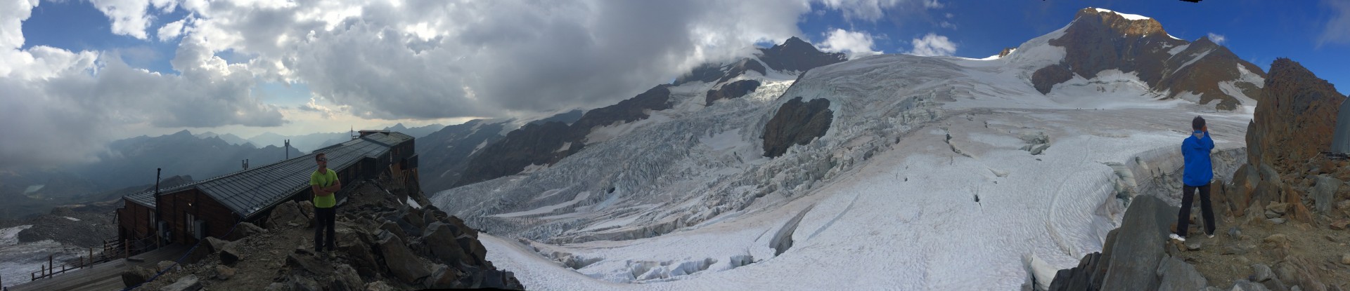
4:55
iPhone panorama - click here for a
full size image of the pano
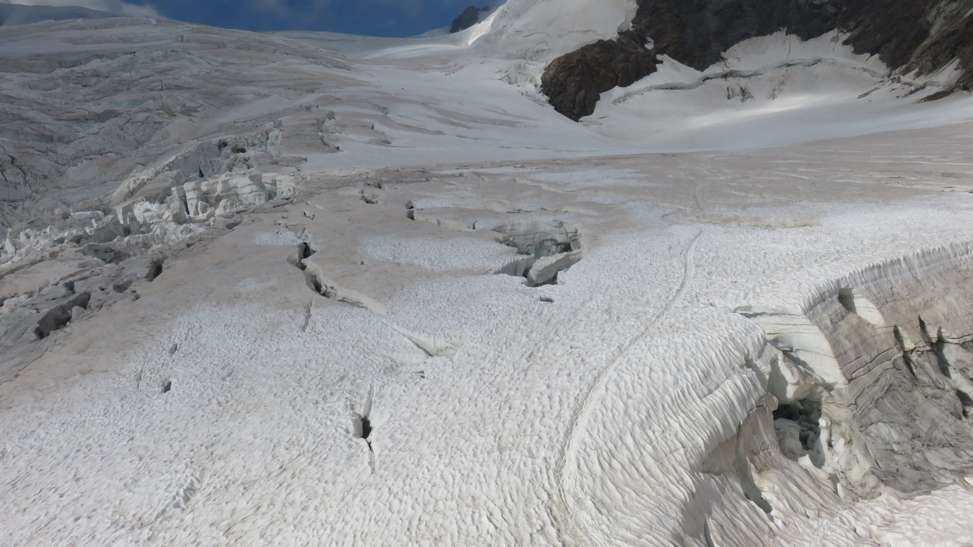
Lys Glacier is all around the Rifugio Gnifetti
Liskamm is in the right center.
The path up to the top of Monte Rosa is on the right meandering through
the crevasses
Vincent Pyramid is on the top right.
The hut has a power strip above the cashier's counter with a shelf
where
about a dozen smartphones were charging at any given time.
Bathroom facilities were at the very end of the hall - stainless steel
standing hole in the floor of the hut 'toilets' with buckets for
flushing.
They were memorable for all the wrong reasons.
Signs nearby assured us that they flew all waste downhill with
helicopters as opposed to dumping it under the glacier.
We hung out at the table closest to the bar until dinner was served,
then we moved to our assigned table upstairs.
Dinner at the Rifugio Gnifetti was not terribly memorable - marginal
pasta and maginal beef.
Total for the day:
642m / 2106' total ascent
291m / 954' ascent from Resy 2066m to Bettaforca lift 2297m
351m / 1151' ascent from Punta Indren 3260m to Rifugio Gnifetti 3611m
Previous
Thursday August 6, 2015
Tour de Monte Rosa Trip Report
Zermatt to Resy
Friday August 7, 2015
Tour de Monte Rosa Trip Report
Resy to Rifugio Gnifetti
Next
Saturday August 8, 2015
Tour de Monte Rosa Trip Report
Rifugio Gnifetti to Alagna Valsesia