The Stelvio
Pass tops out at 2757m / 9045' and is the second highest
paved pass and fourth highest paved road in the Alps.
The Stelvio is the highest pass on any cycling Grand Tour, is
frequently featured in the Giro d' Italia, and is also widely regarded
as one of the best mountain roads to bike or drive in the Alps.
Woke up 3 am this morning, which unfortunately is not too unusual.
I had a croissant and some juice for breakfast, then left the hotel
shortly after 7am.
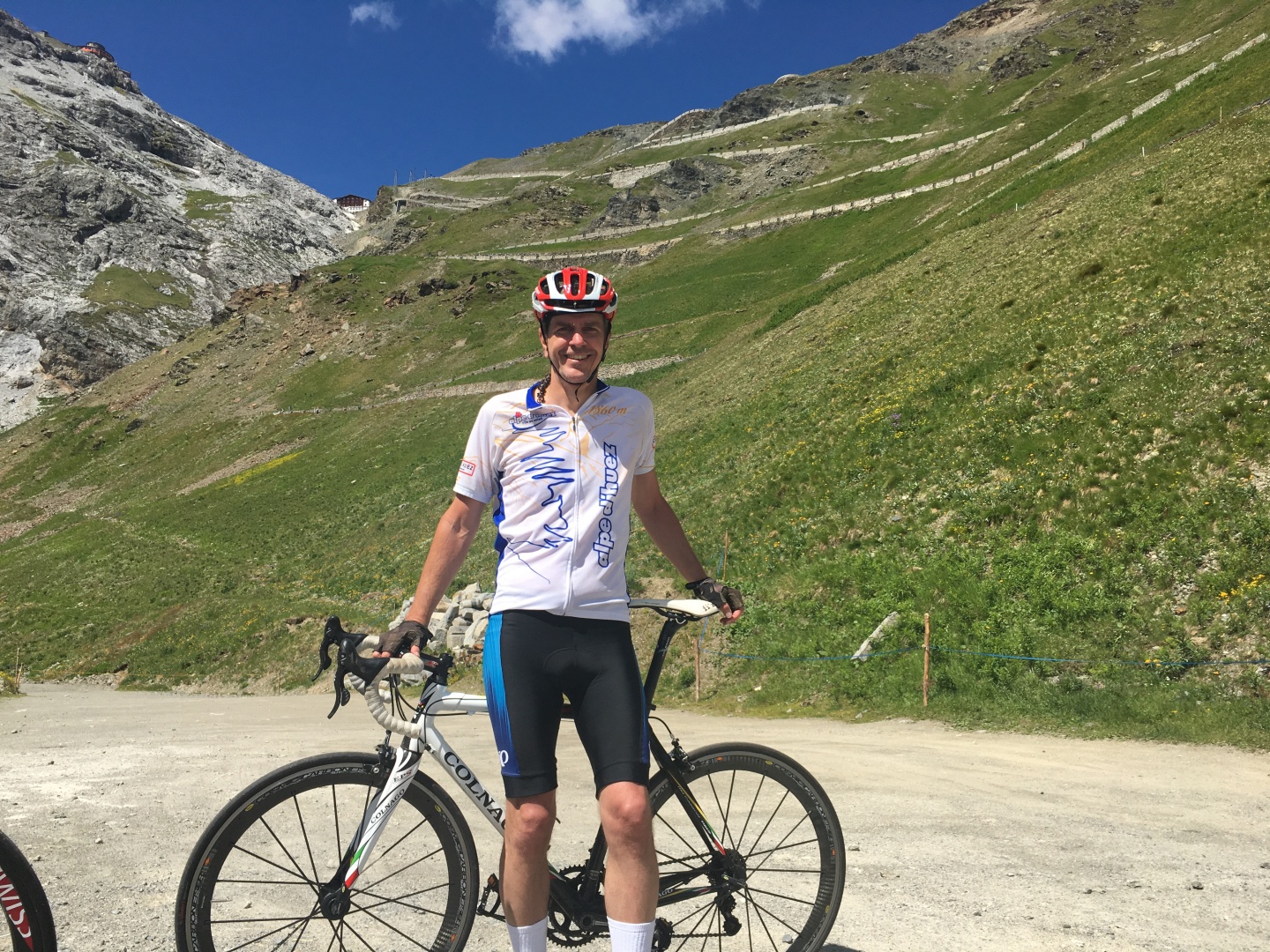
This bike had 2 gears in front and 11 in the back, I'd never heard of
such an arrangement but I pay zero attention to road bikes considering
how much time I spend on my mountain bike.
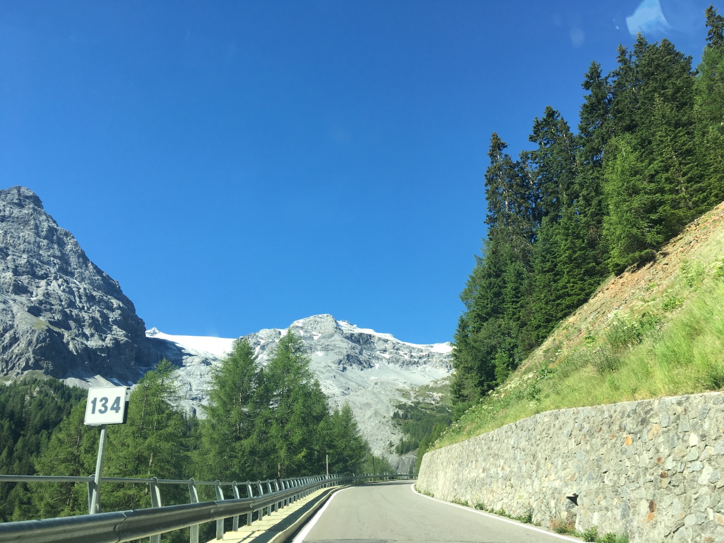
I'm starting at 706m / 2,319' min altitude
Yesterday while waiting for the bike shop to open I realized I'm 8
miles and more importantly 600' vertical from the base of the
Stelvio... oops
I was reasonably confident I could do this, but it would be about least 2x as
long and almost 2x as high as Alpe d' Huez...
Slow and steady was the order of the day...
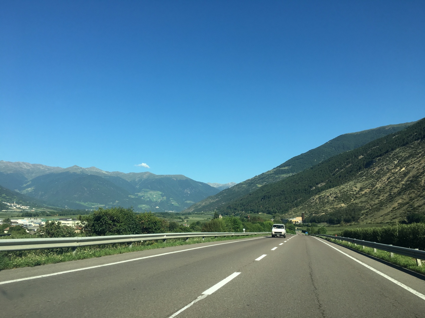
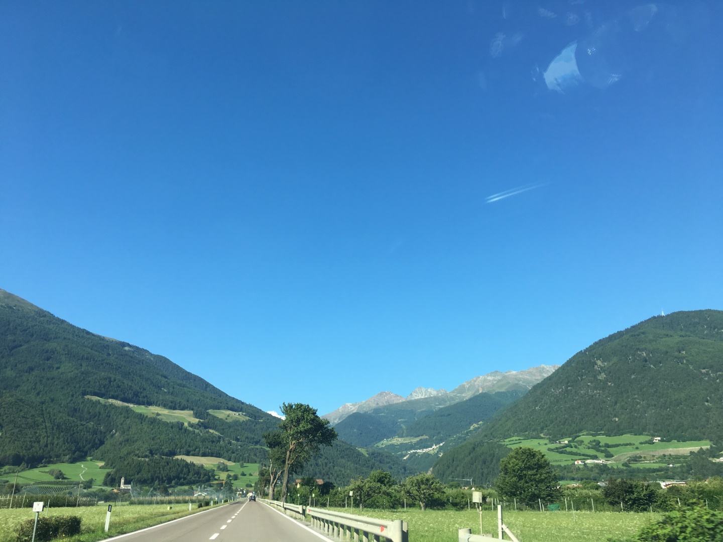
Approaching Lasa / Laas, looking west
I was into my lowest gear within a mile or two, that did not bode well
for my chances for the day.
I didn't even know which canyon off to the left led to the Stelvio - it
turned out to be the second canyon, not the one closest
to Schlanders / Silandro
I wasn't worried about getting lost because every roadsign
mentioned the Stelvio.
2017-07-06 08:49
2017-07-06 08:50
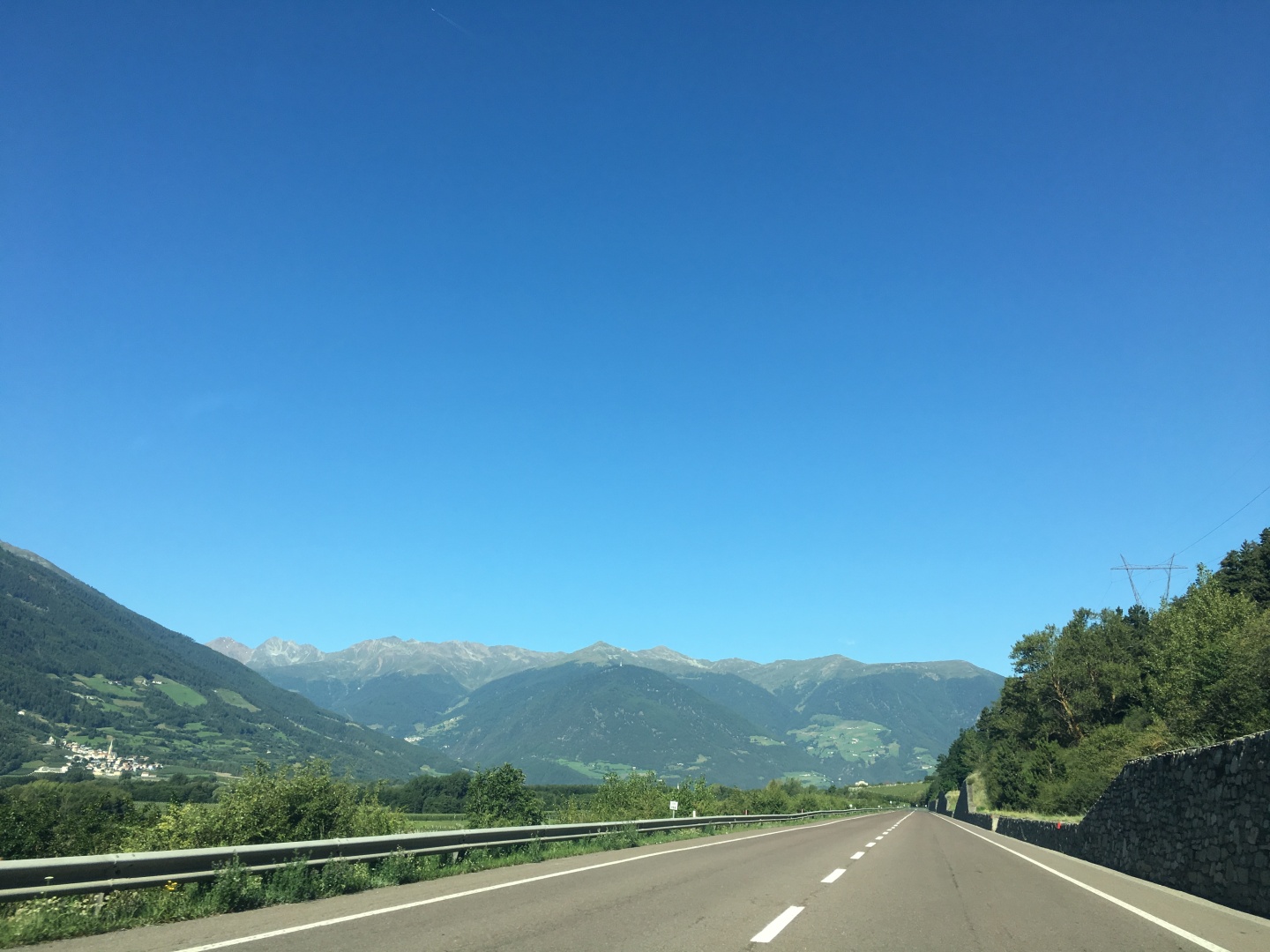
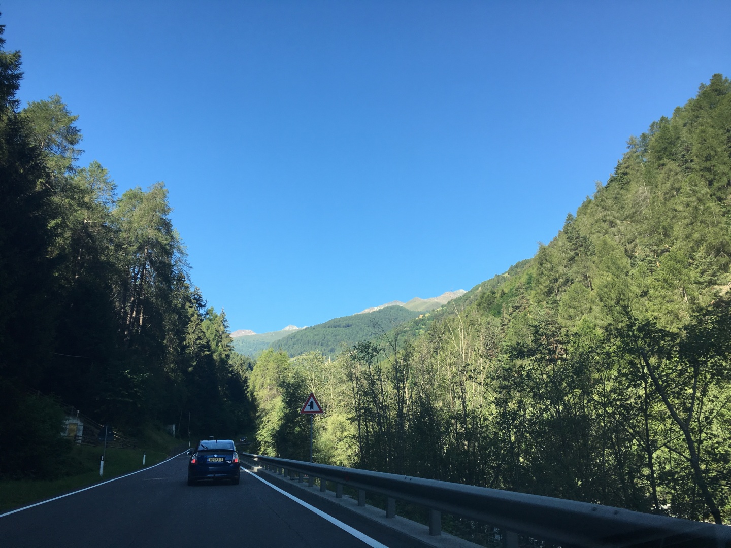
Oris / Eyrs
Note the bright orange photoradar cop next to the road.
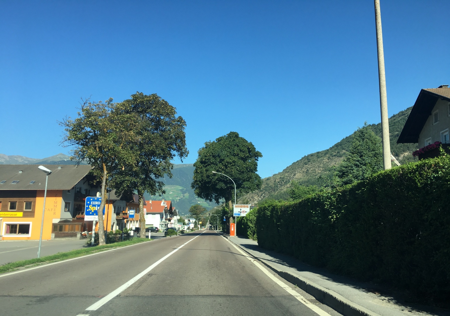
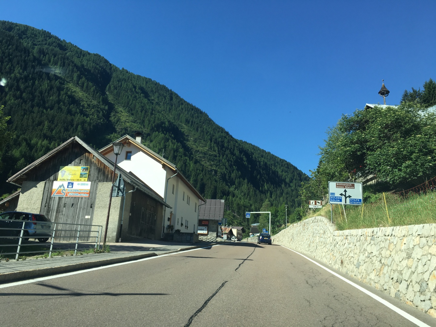
Spondigna / Spondinig
I'm turning left at the roundabout to head south.
There's not much to see of this town that's not in this picture.
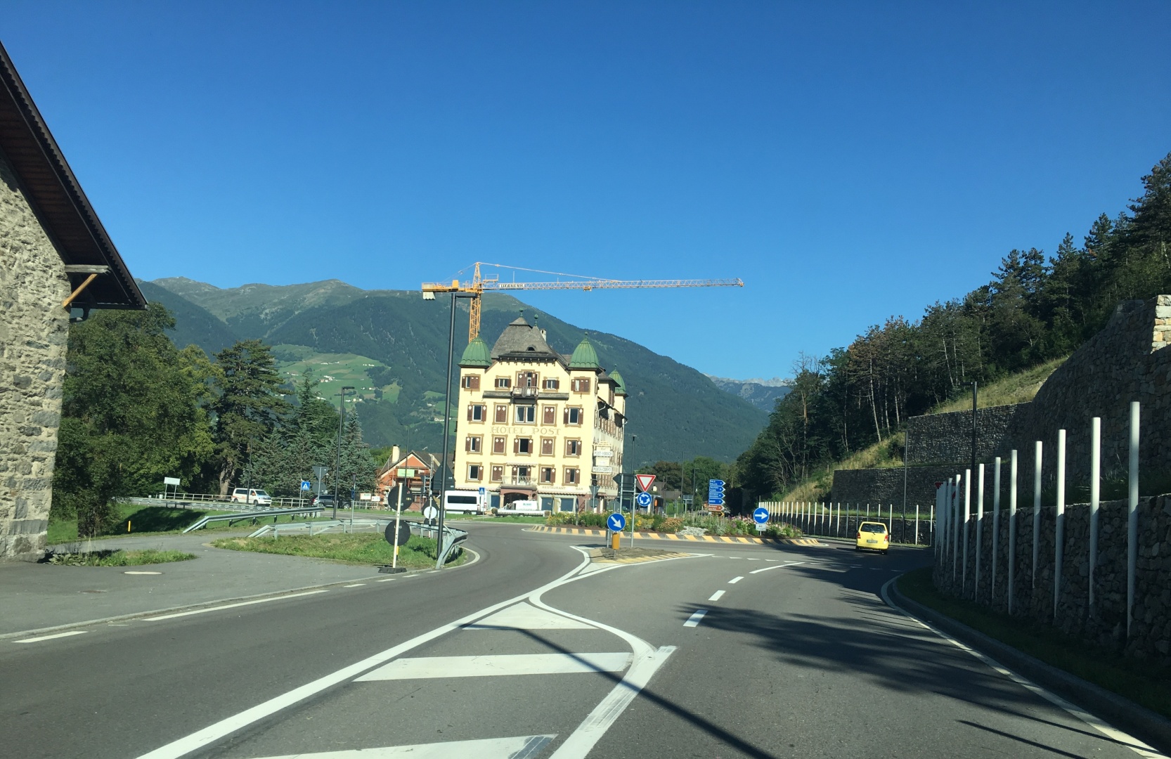
Just left Spondigna / Spondinig, now looking south toward the Stelvio.
Most people who bike the Stelvio start closer than here...
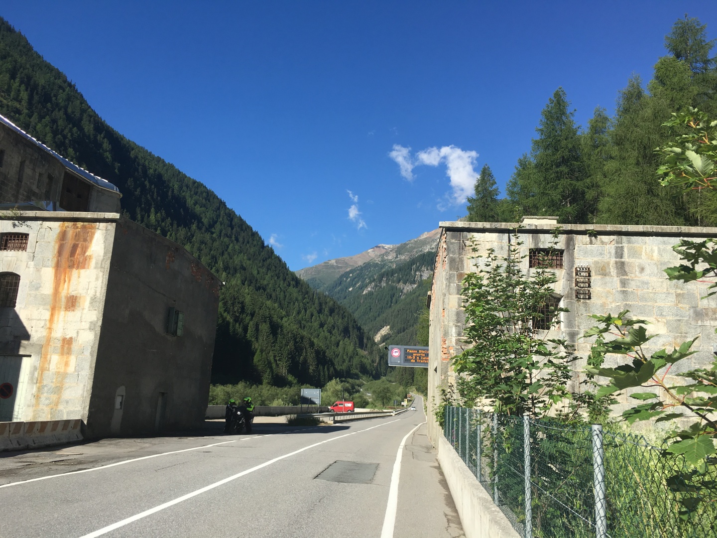
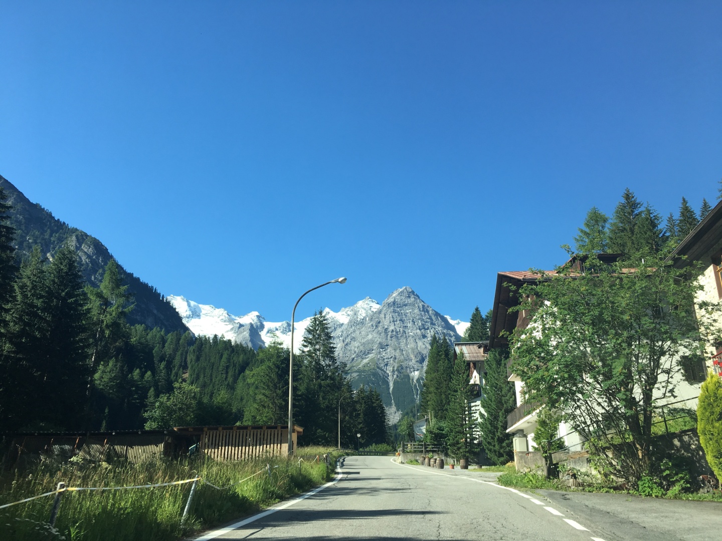
After I passed through the town of Prato Allo Stelvio / Prad am
Stilfserjoch I saw a couple of people parking their cars and getting
their bikes ready for the climb.
I was still plenty early, I didn't see any other bikes yet.
entering Gomagoi
leaving Gomagoi
I made my first stop here.
Two years ago I had climbed the Alpe d' Huez without stopping, but
since the Stelvio was about twice as high and twice far as Alpe d'Huez
I had no delusions that I'd be able to climb it without stopping.
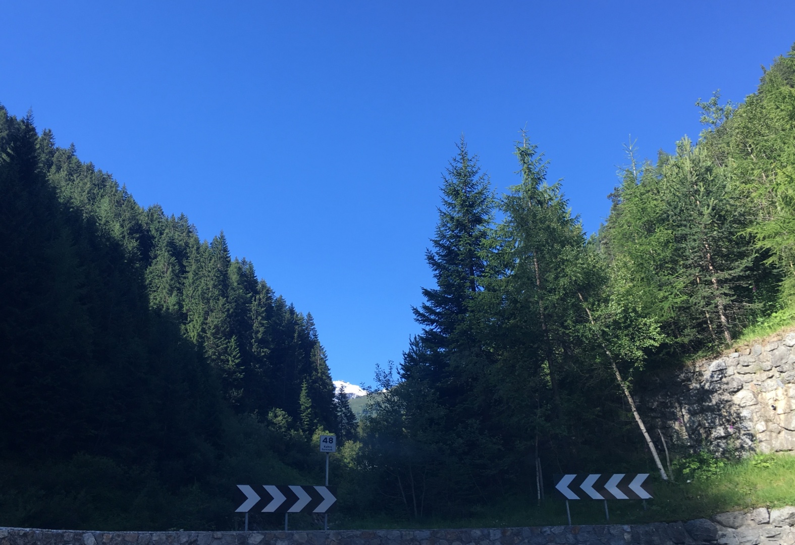
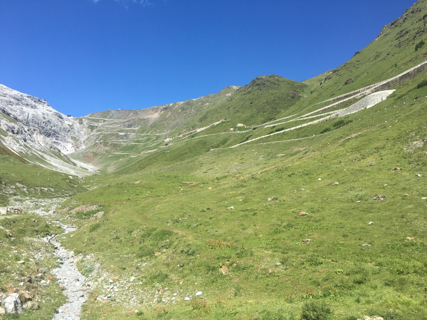
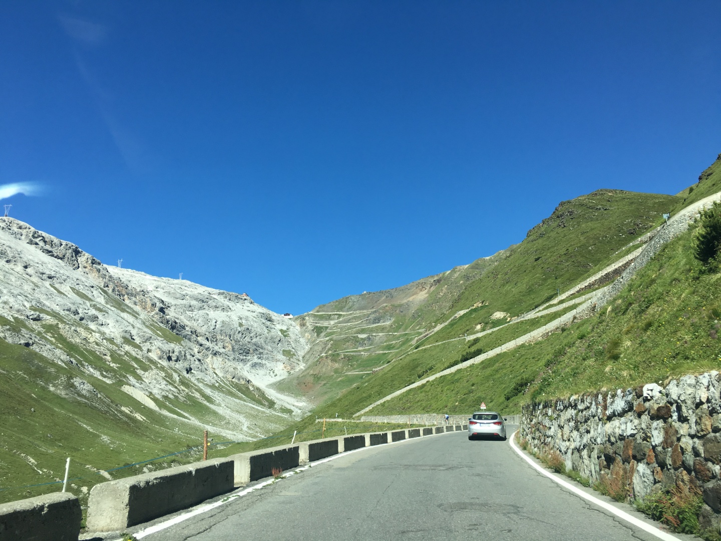
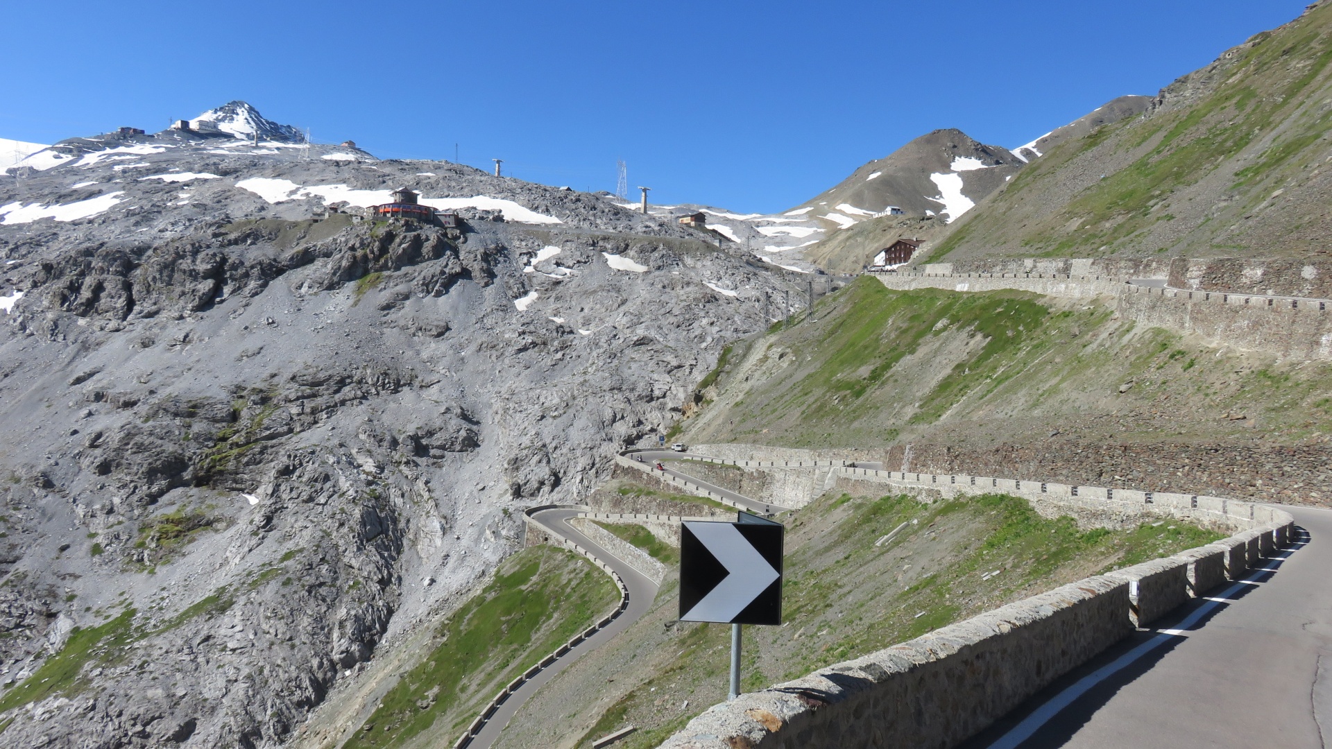
The first of the 48 numbered turns up the Stelvio
I'd been cycling uphill for miles now, and now it starts getting real...
Tannenheim
I saw about a dozen people waiting for the bus to take them up into the
mountains for dayhikes
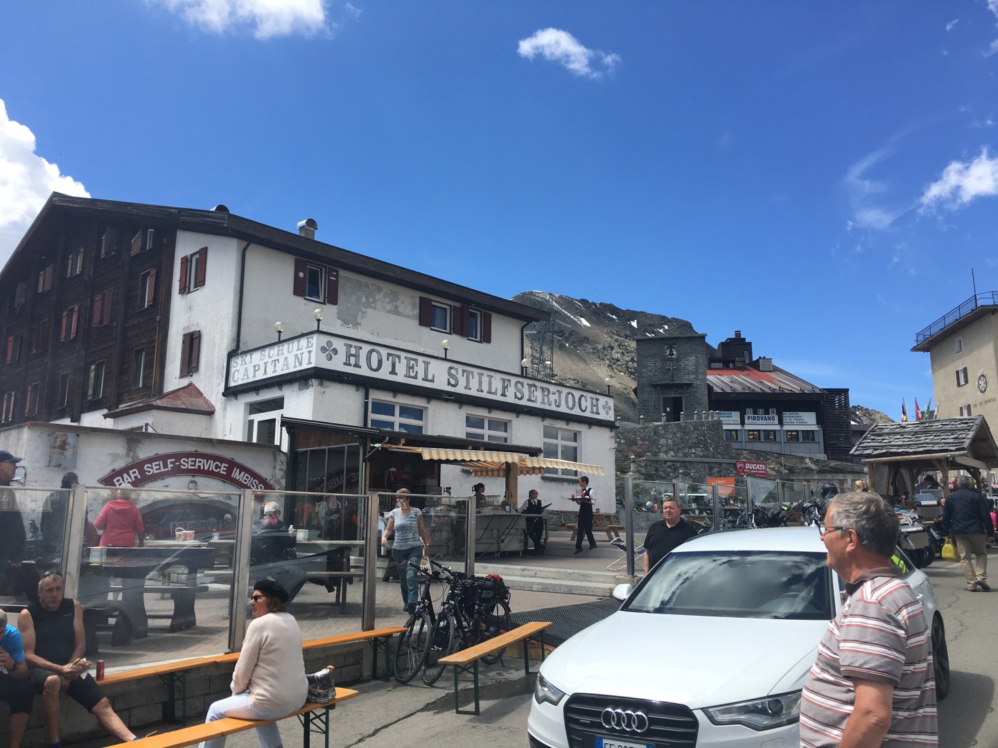
Albergo Bellavista
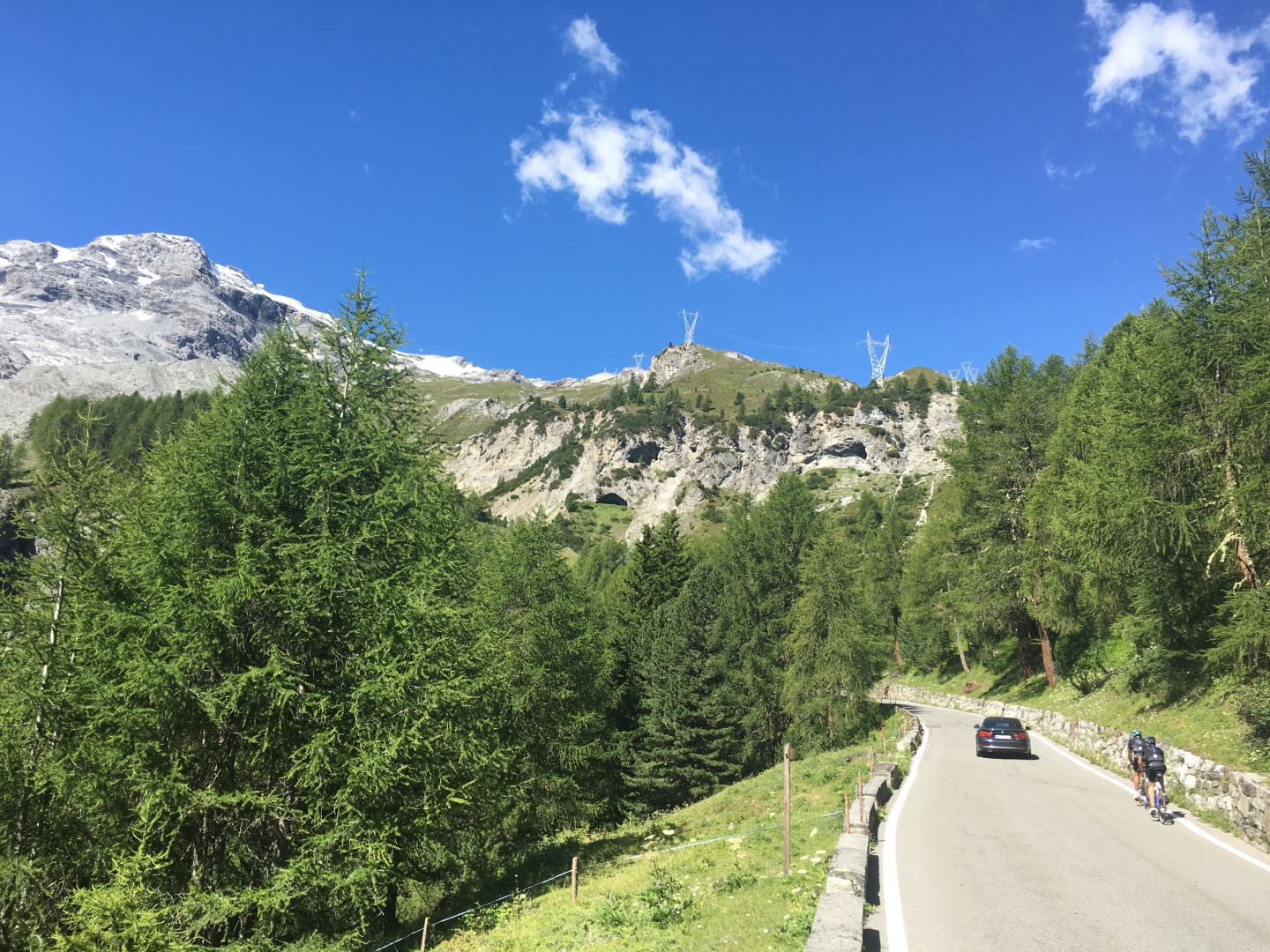
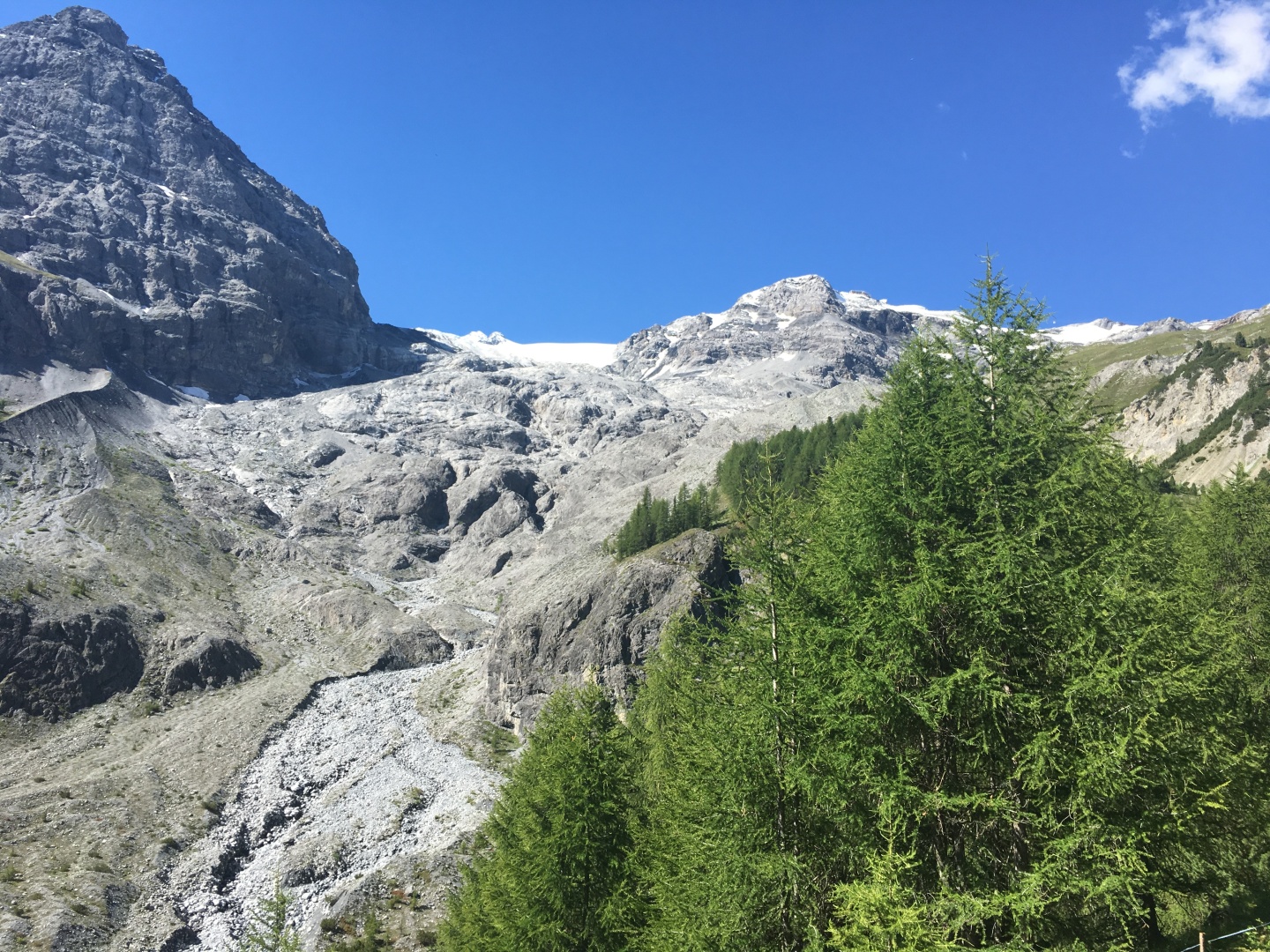
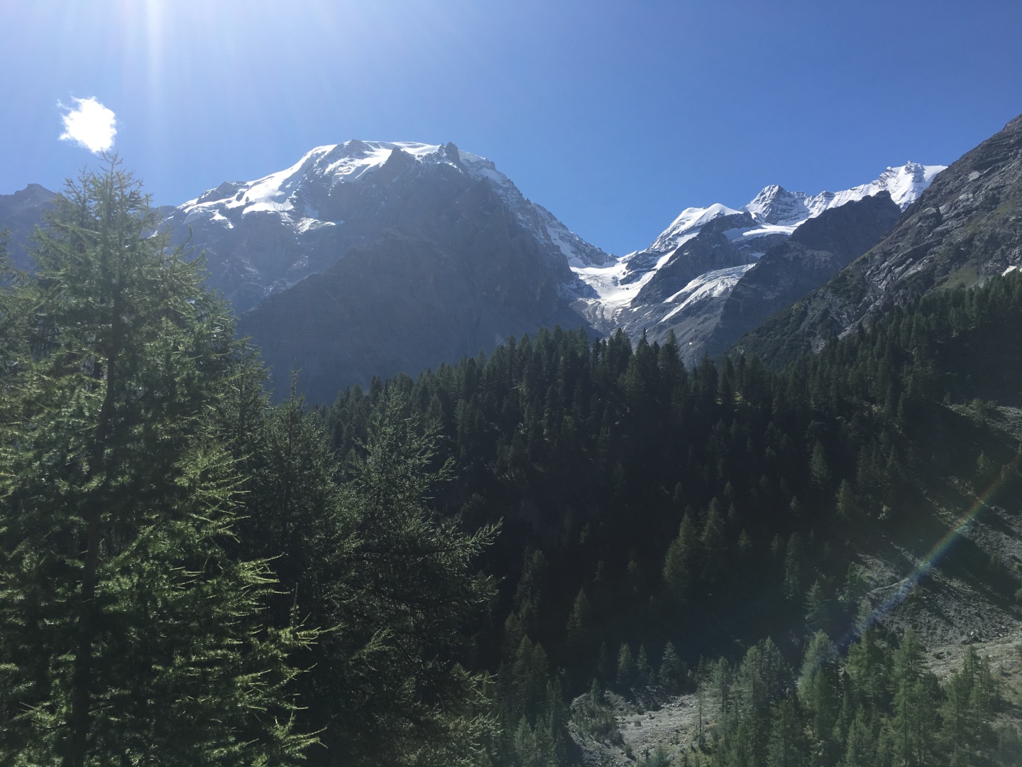
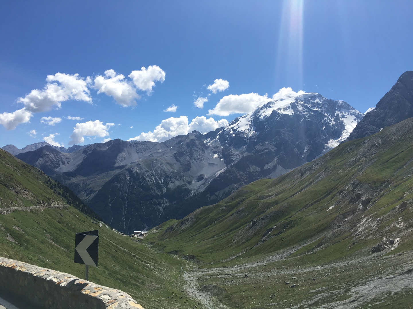
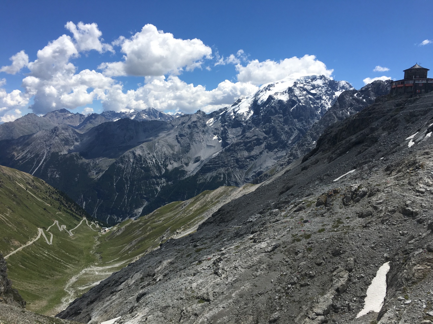
The Ortler / Ortles 3905m - 12,812' is the glaciated peak on the left
I believe that's Campo Glacier but I'm not sure,
there ware too many peaks in this area.
The large peak to the left is not one of the high peaks, higher peaks
are in back of it.
Ortler / Ortles 3905m - 12,812', the highest mountain in the Eastern Alps
outside the Bernina Range, and the highest point in Tyrol.
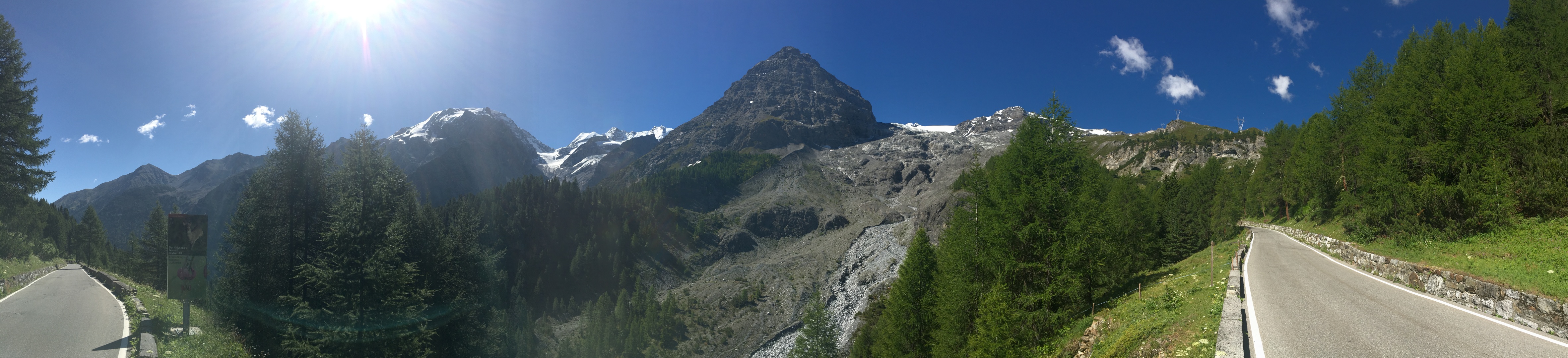
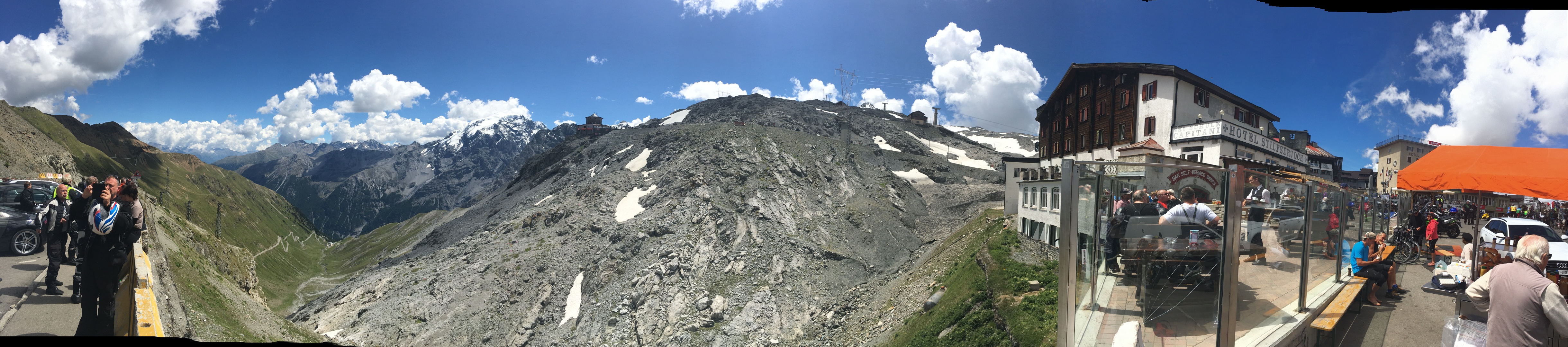
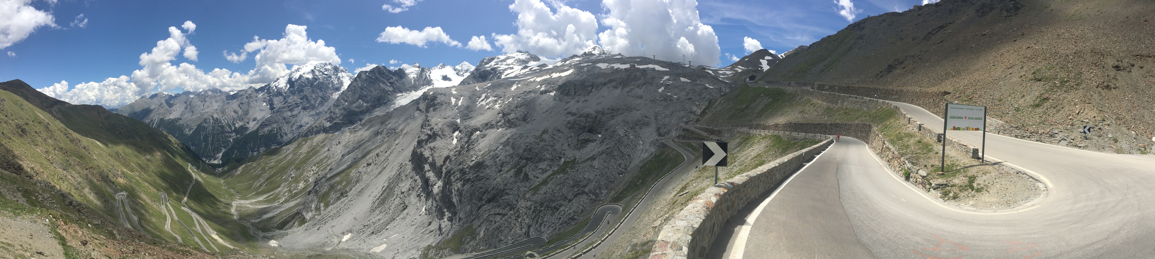
PANO - scroll right
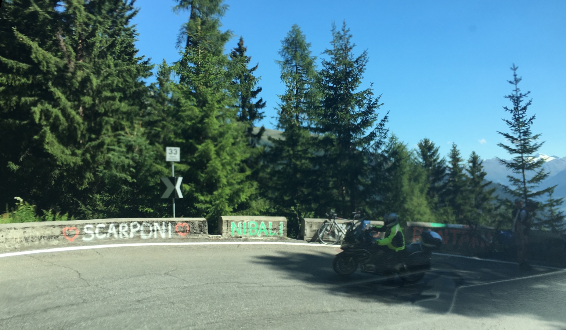
Turn 33 features grafitti with the names of famous Italian cyclists
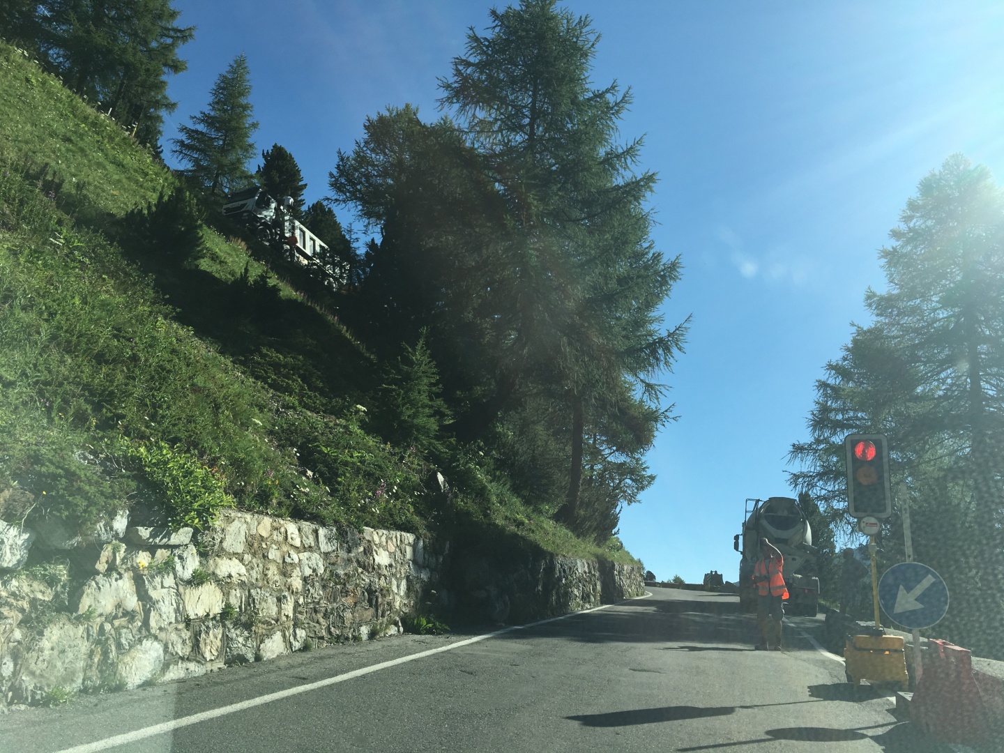
I was forced to stop at the construction stoplight, which was welcome
cause I could
use all the rest stops I could get...
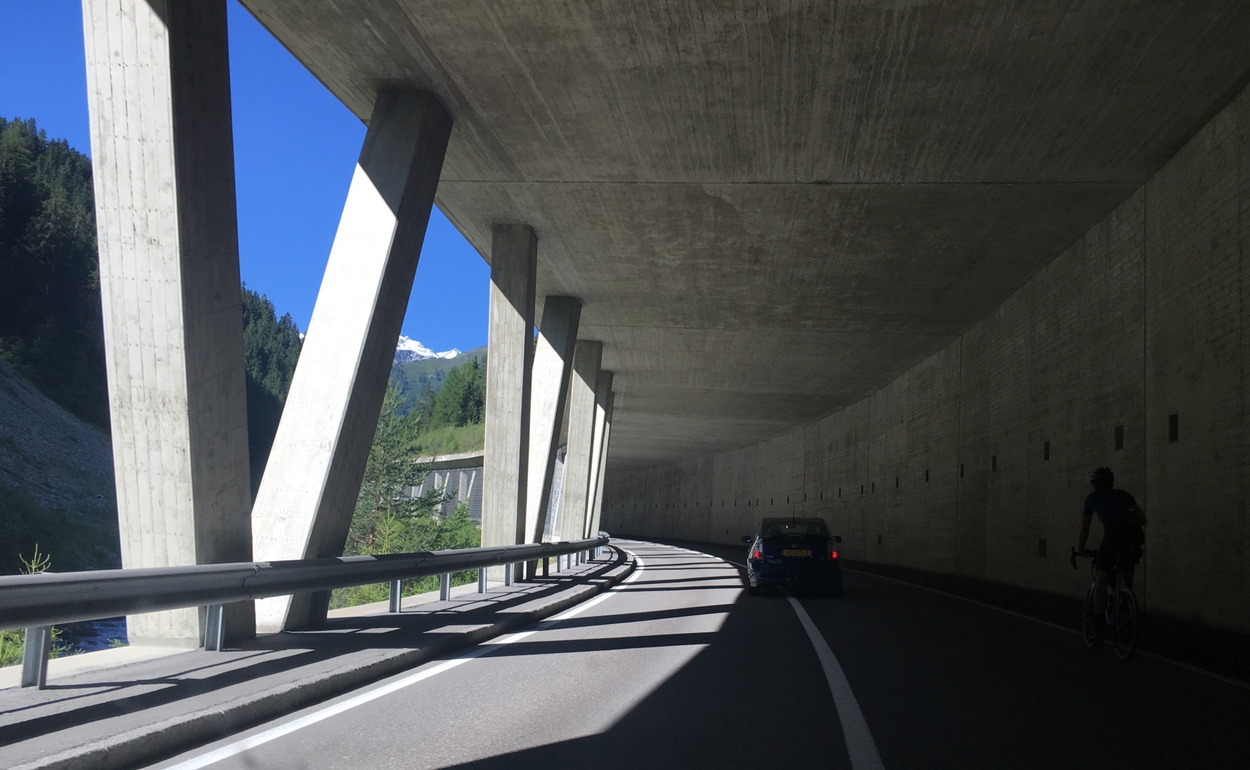
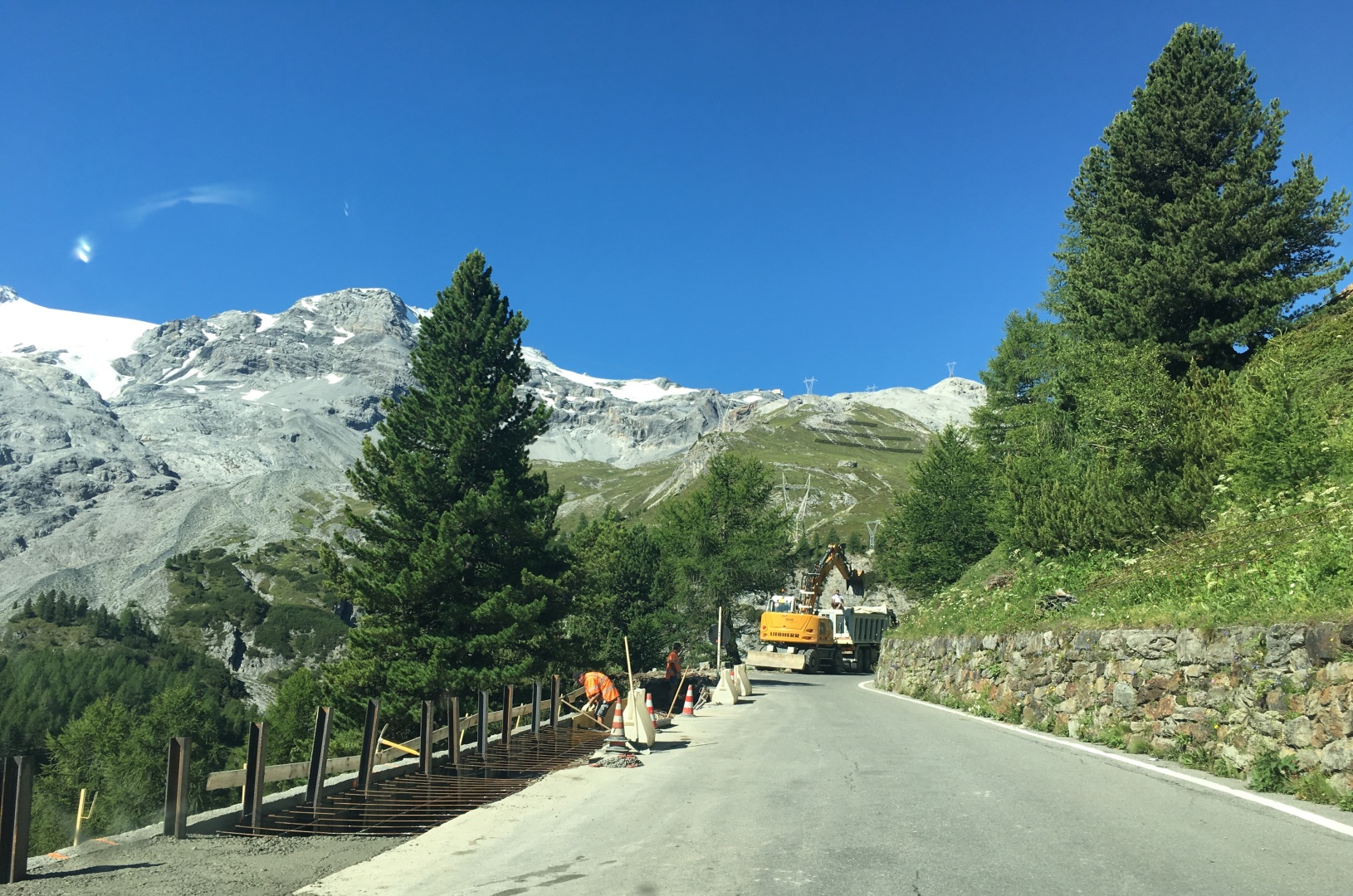
Road repairs
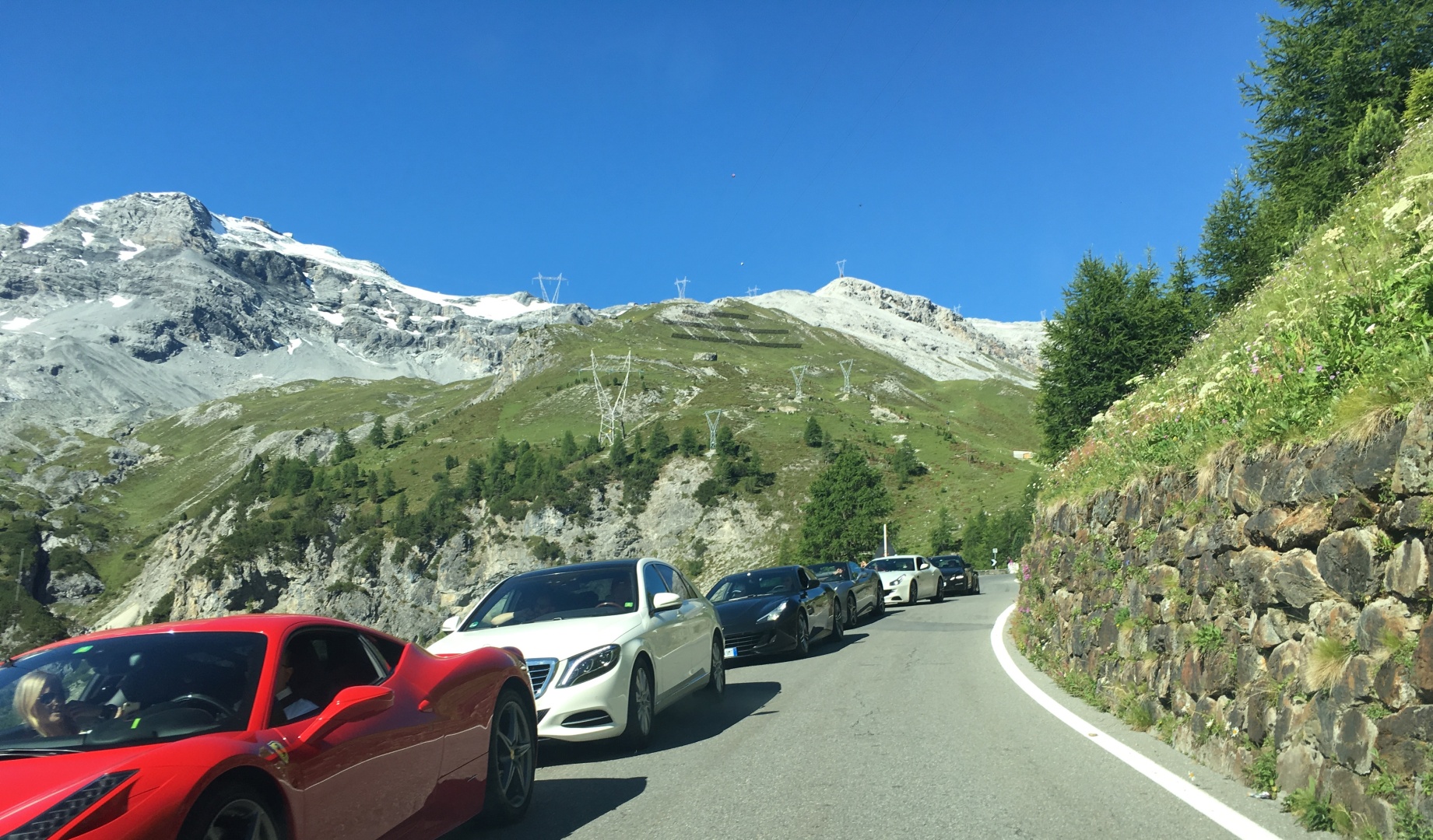
I didn't see many boring cars on the Stelvio.
Dozens if not hundreds of motorcycles, and dozens of sportscars... this
road is only
for having fun or getting a ride up into the mountains to have fun...
The sign on the left was all over the Dolomites and this area as well
encouraging motorcyclists not to accidentally kill themselves by flying
off the road over (or into) a cliff at high speed.
Motorcycles headed uphill left behind awful exhaust fumes that I had to
suck up on the mountain, half burned gasolline sucks and it would
linger...
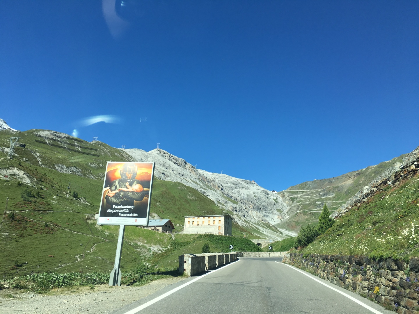
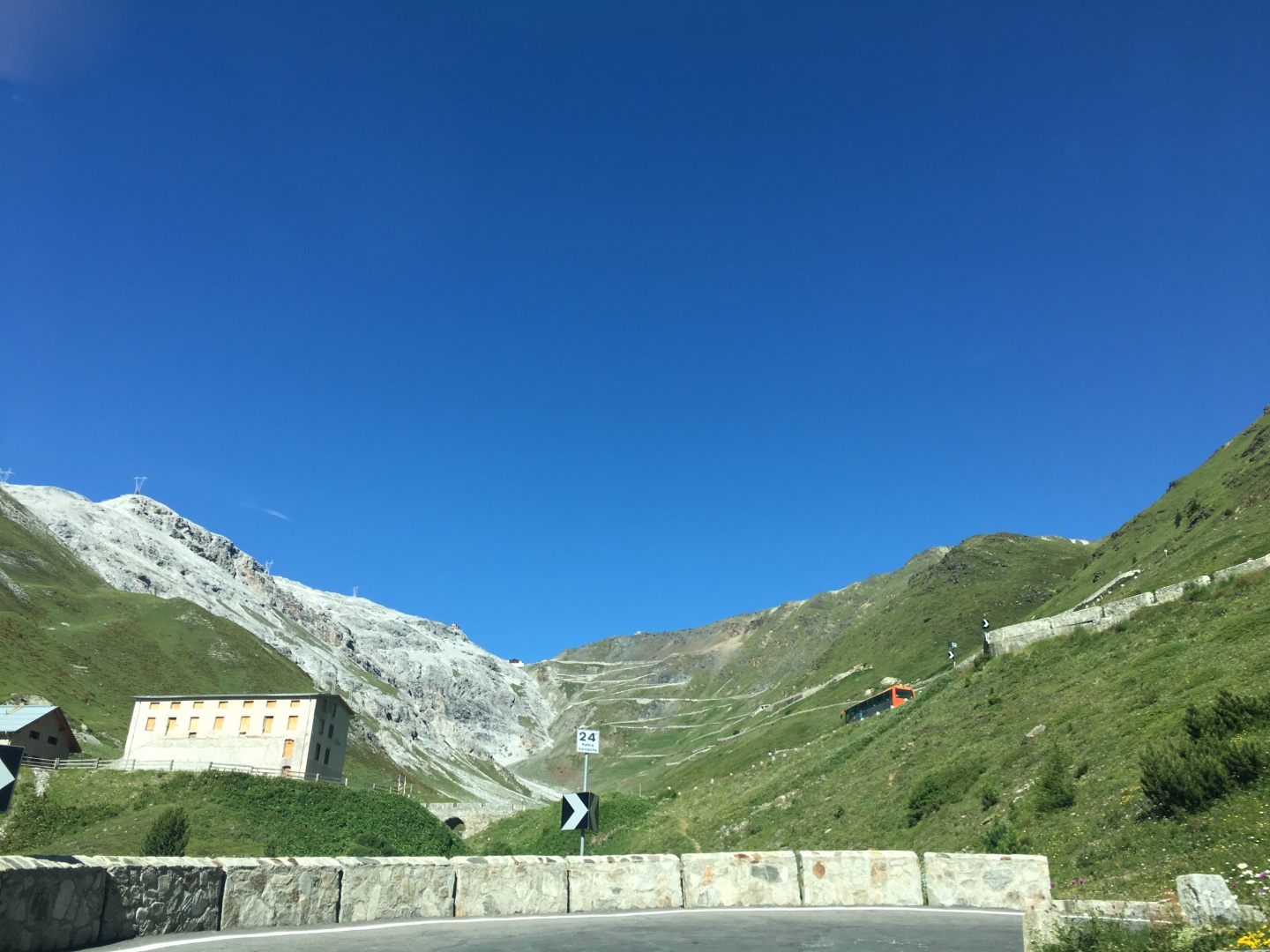
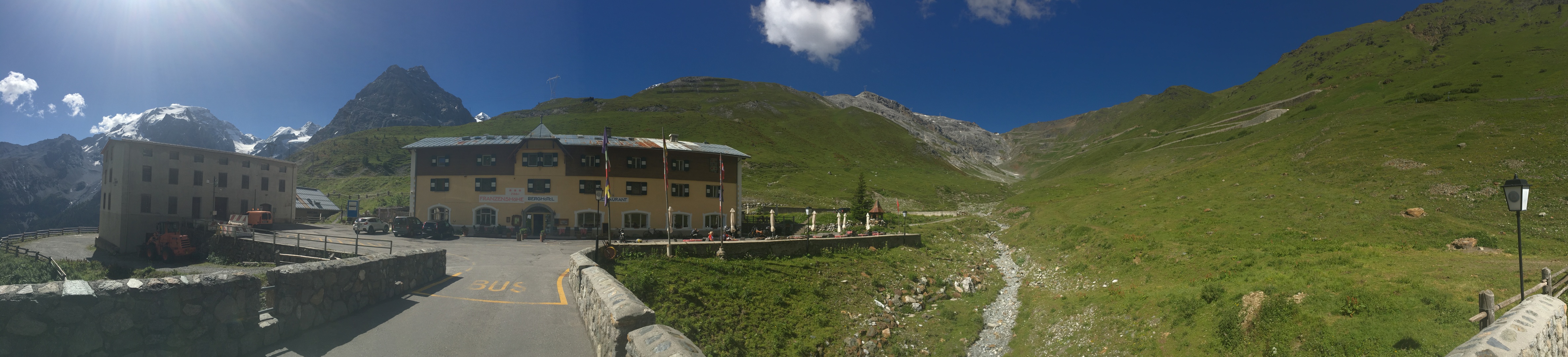
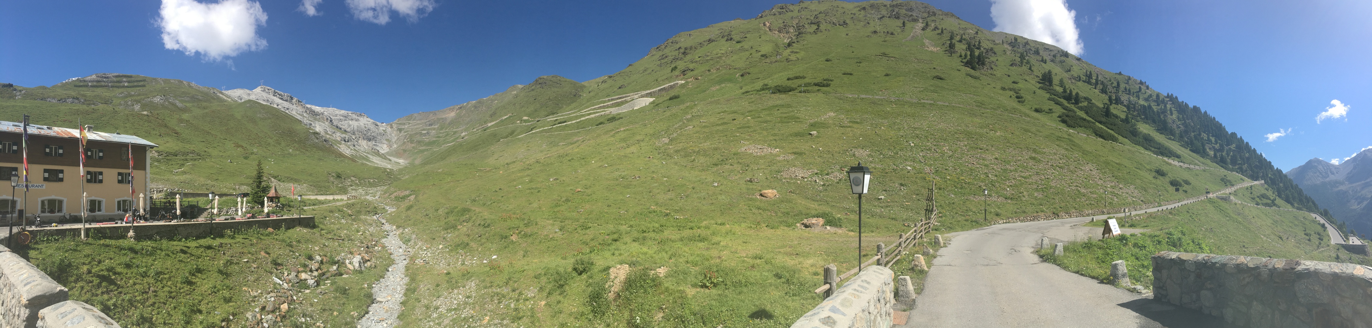
Turn 24, approaching Berghotel Franzenshöhe, which is at turn 22.
The Stelvio from turn 22 near Berghotel Franzenshöhe
PANO - scroll right
PANO - scroll right
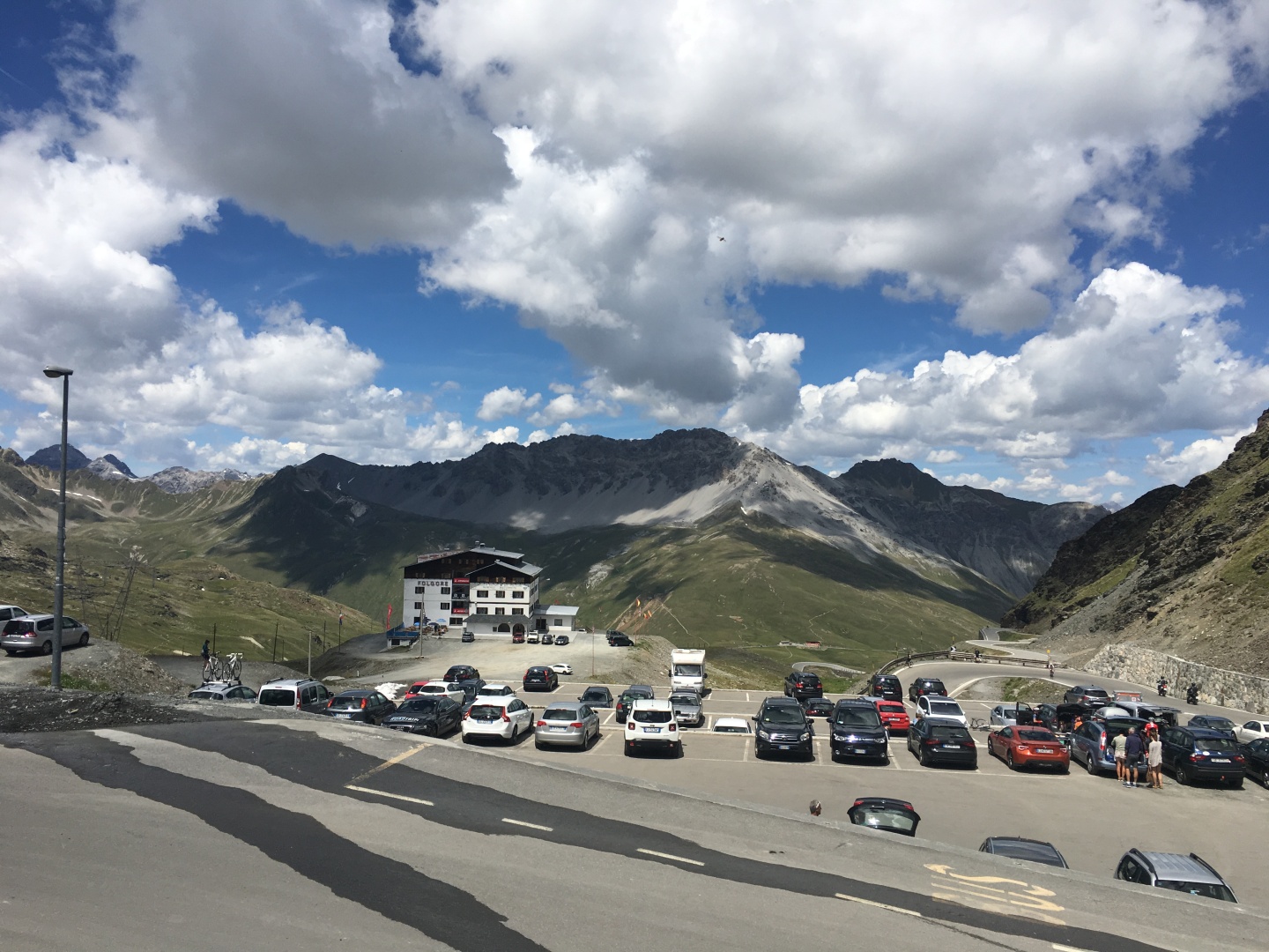
I stopped at Berghotel Franzenshöhe for a break and something to eat -
I
was famished.
I went inside and looked for some snacks, and found none.
Apparently they only had table service outside.
I wasn't willing to wait for table service, so I wolfed down some of
the food I was carrying and resumed riding after about 5 minutes...
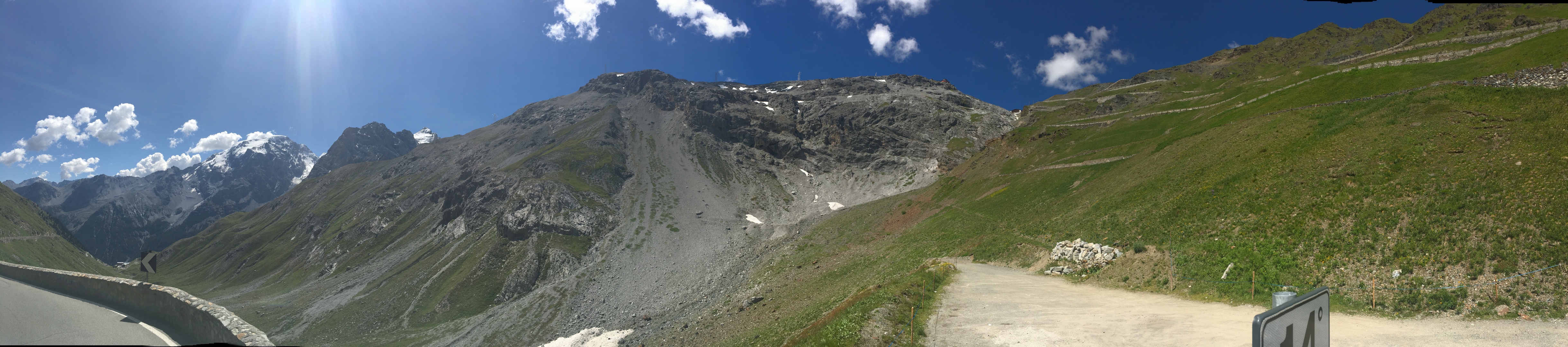
Turn 14
PANO - scroll right
Note Berghotel Franzenshöhe far below
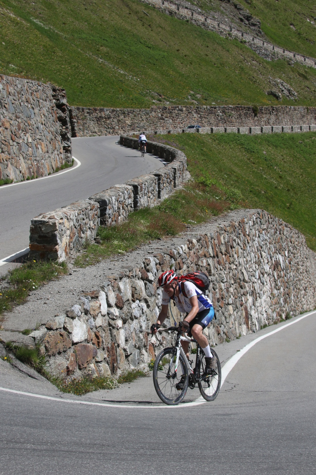
There weren't many good places to pull over and get good pictures,
especially on the corners.
This corner had a decent sized parking lot so I stopped for a break and
pictures.
A group of several cyclists who were coming down the Stelvio speaking
Italian also took a break here,
and one of them got my picture.
This turned out to be the only Italian I heard either today or anywhere
in the mountains around Bolzano.
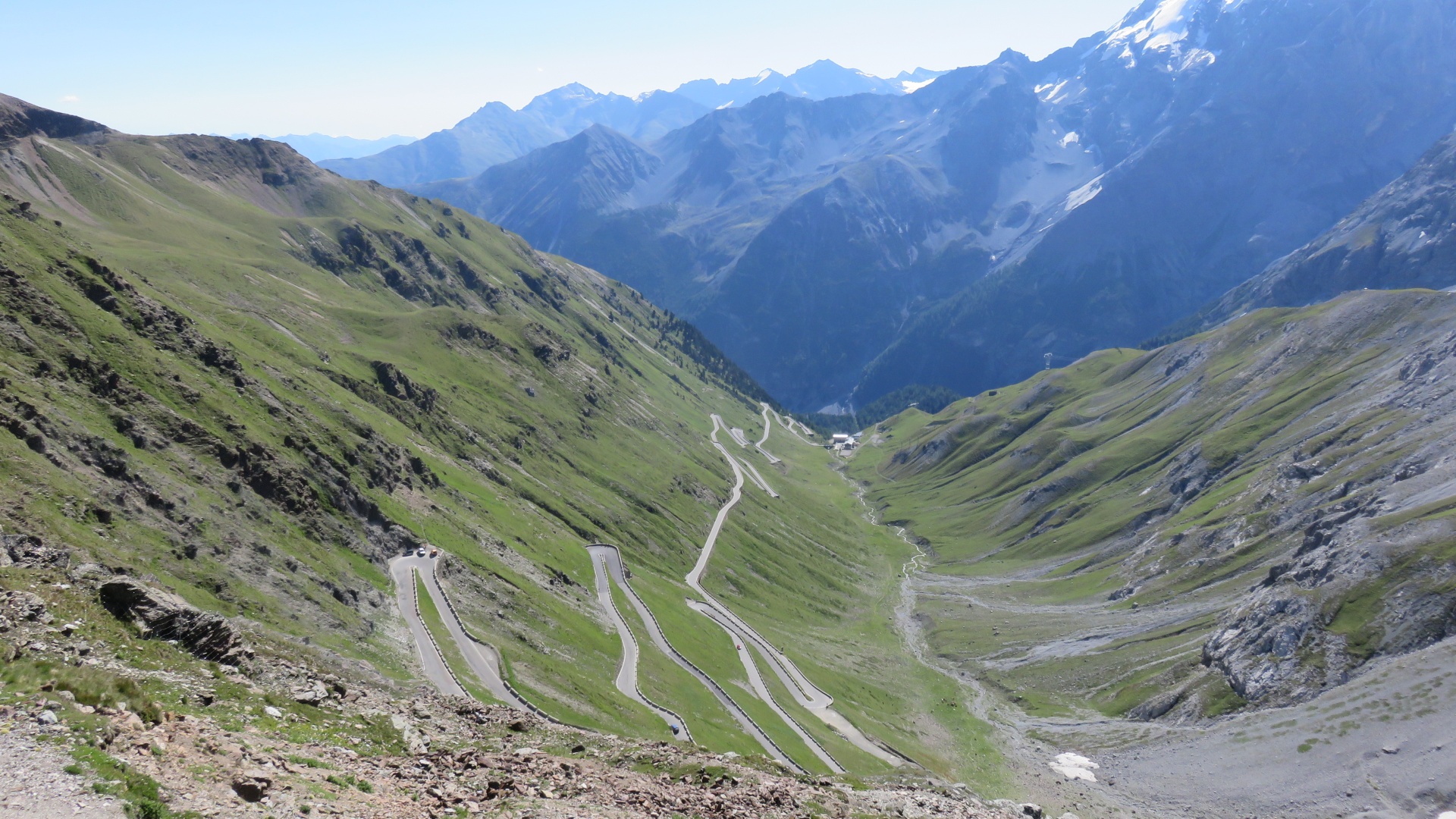
Toward the top of the Stelvio two different groups had spray painted
mileage lines on the road for each of the last 7km on the way up.
Their kilometers disagreed by perhaps a hundred meters or so, not
a significant difference.
I found it a little hard to believe that there was still 7km to go
since I could see the entire climb ahead of me, but as the kilometers
ticked down and I was still climbing up things got quite credible...
Fun fact - on both this climb and on Alpe d'Huez, David Bowie's Space
Oddity ran through my head in an random loop...
Somewhere high on the Stelvio I stopped to chat up the only guy taking
pictures to sell at fotostelvio.com
His website is easy to remember cause it is plastered all over the side
of his car in letters well over a foot high.which he said cost the
'best $20 I've ever spent!'
He's a British born American currently residing in Florida.
I asked him if he sold most of his pictures to cyclists, the answer was
that the motorcyclists spend the big money on pictures...
(After checking his website, he's got perhaps 20x more pictures of
motorcycles than cyclists - I guess there really were hundreds of
cyclists up there).
He also said that some people - espeically larger folks -
frequently
get altitude sickness just by motorcycling or driving up the Stelvio.
Doctors in ERs as far away as Austria ask patients if they've just been
up the Stelvio...
fotostelvio.com
I got to turn 1, and it was still nearly perhaps half a mile or so to
the pass.
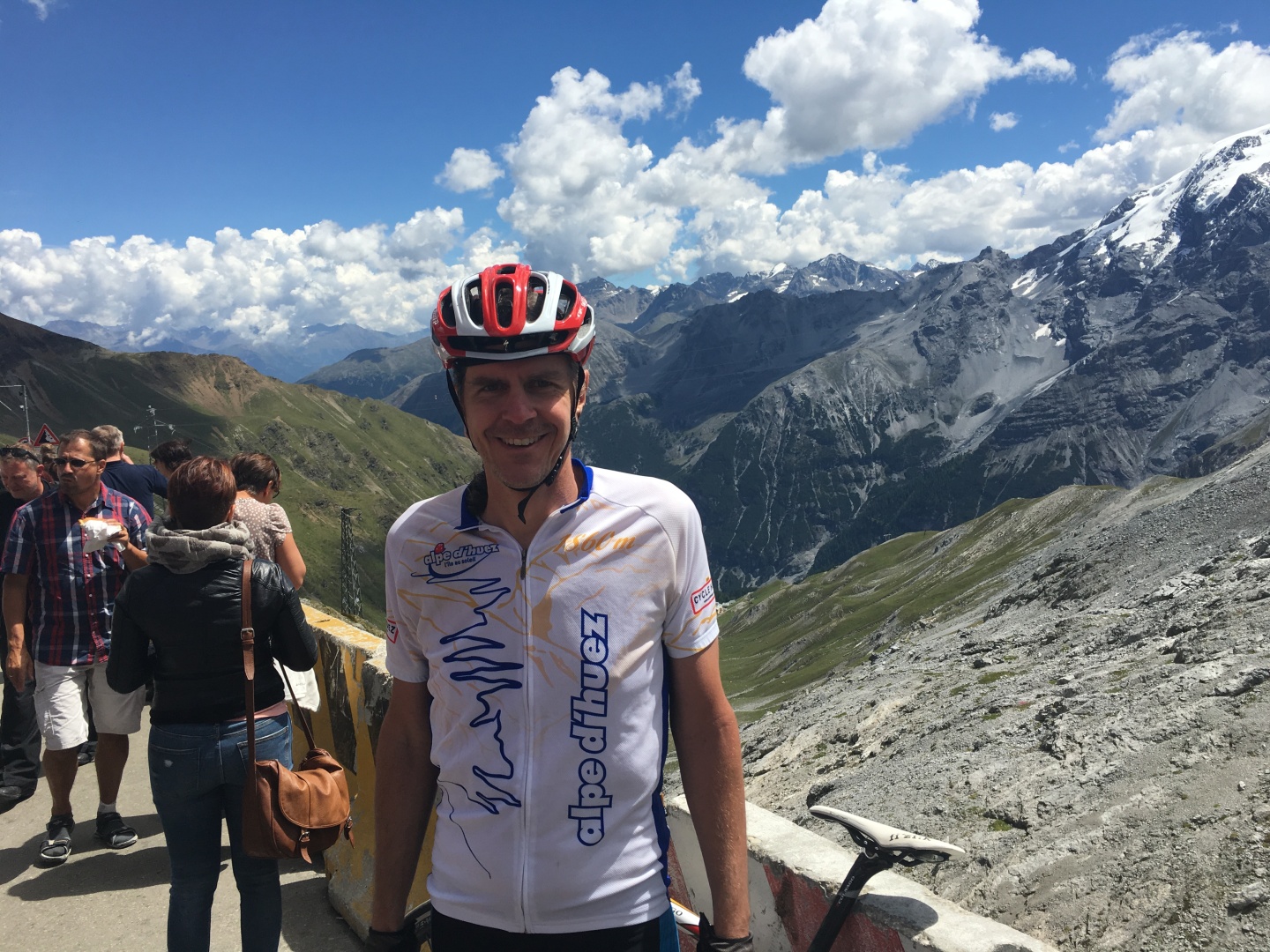
That was a very last segment, but I made it.
A rush of adrenalyn and bliss hit me as I pedaled the final feet
to the very top of the pass.
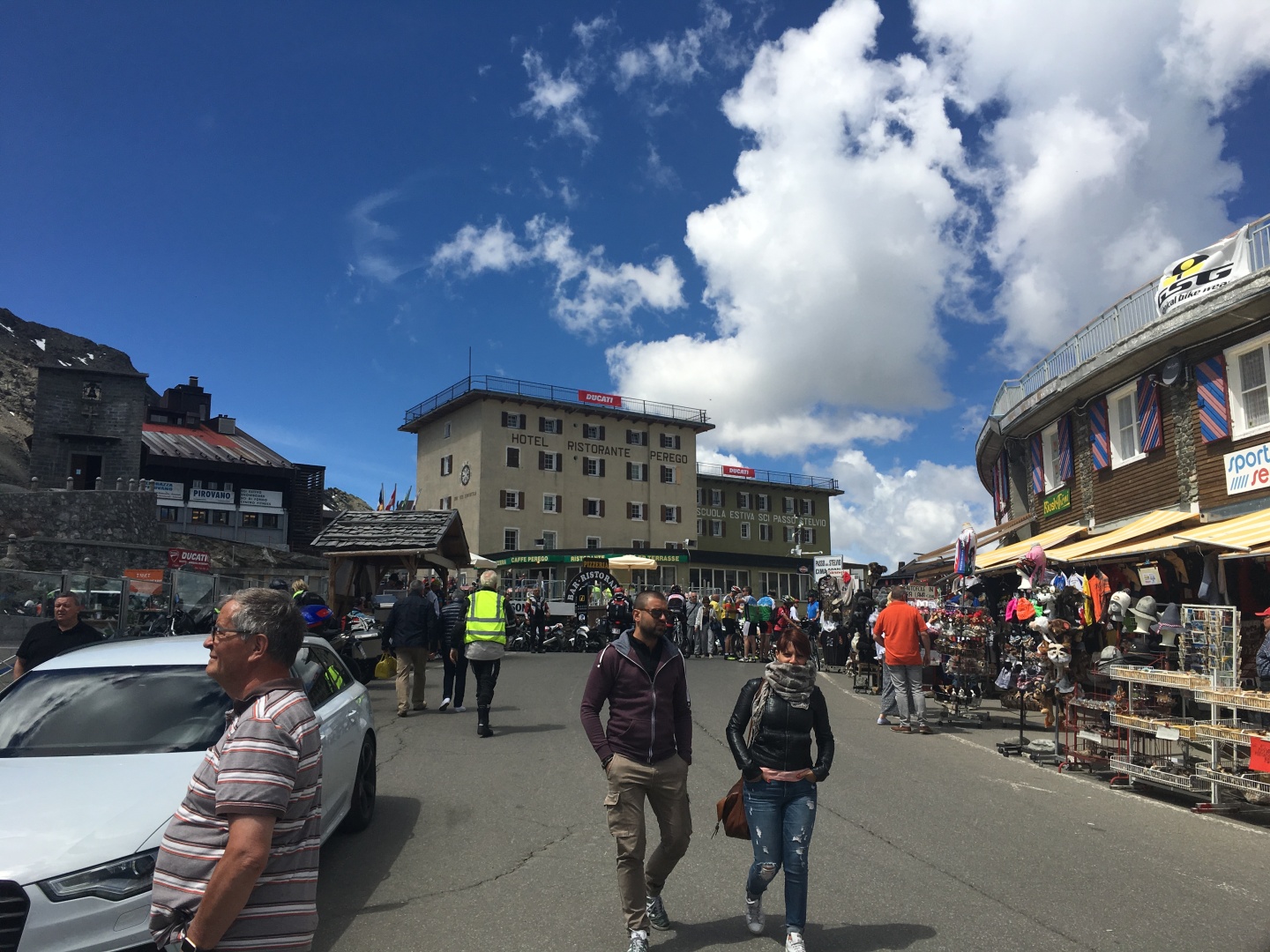
Suddenly I was back in the middle of civilization...
2017-07-05 12:10
PANO - scroll right
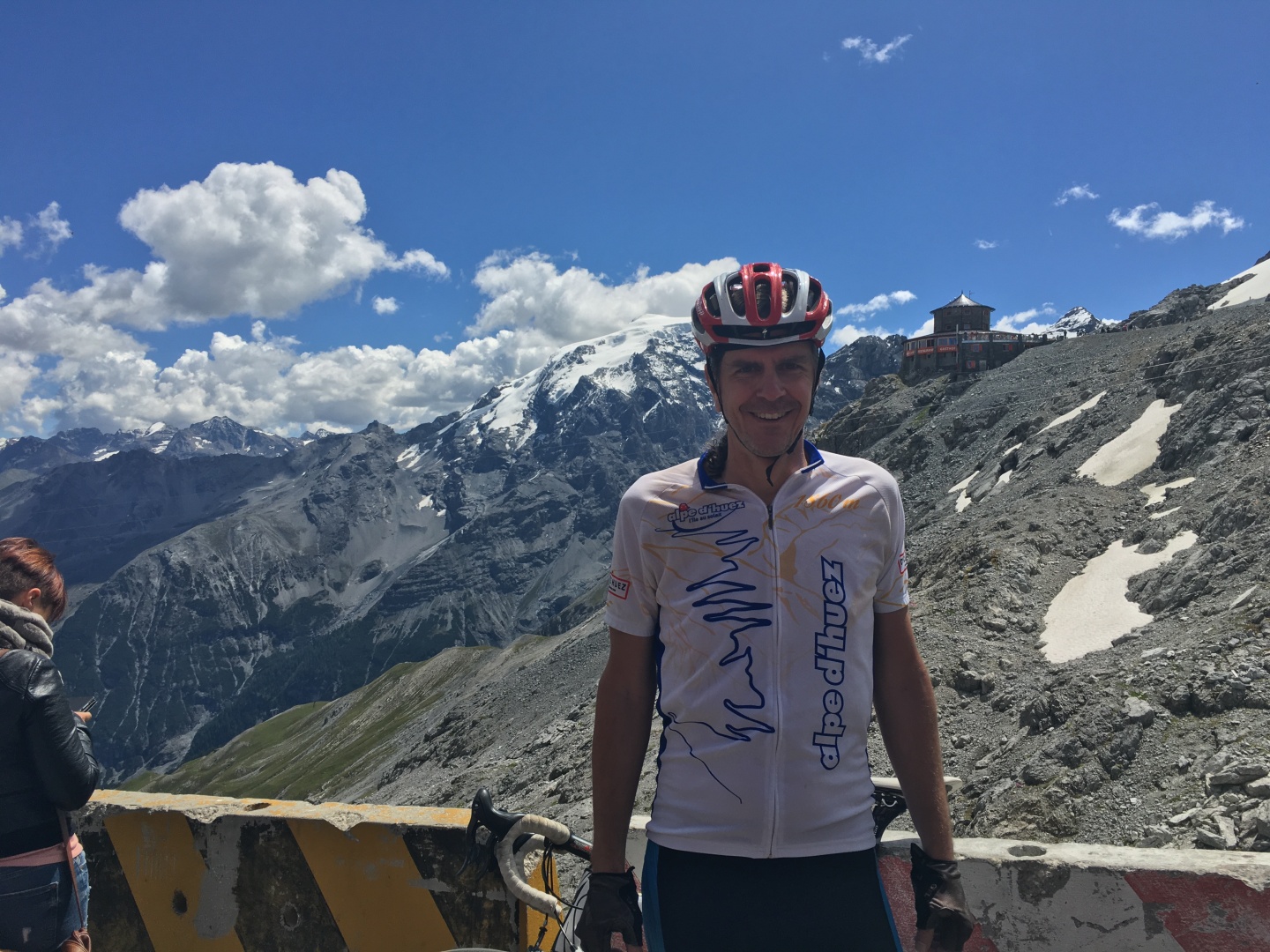
It took me about 4 hours and 40 minutes to get up the Stelvio including
much needed breaks.
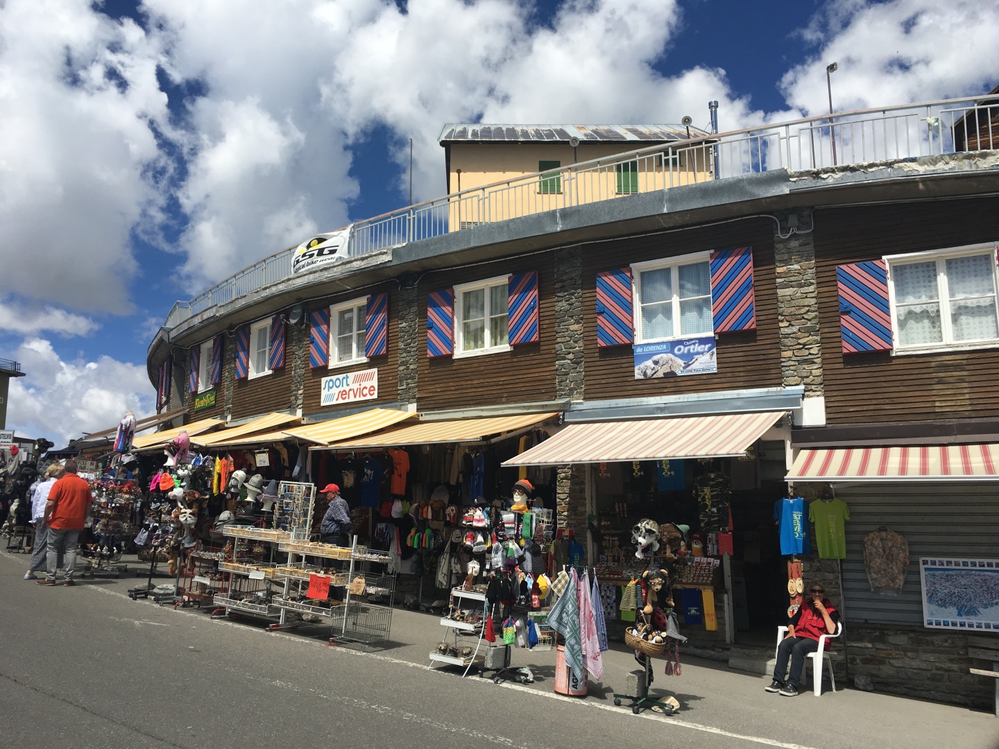
The top had about 6 different carts featuring pretty much the exact
same fare - wieners, beer, and sodas.
I picked the wiener guy nearest the edge / view and wolfed down a
wiener and a beer, followed up eventually by a coke.
I was moving very slowly but that was ok, I was still moving, I'd made
it, and it was (nearly) all downhill from here.
I shopped for cool souvenirs but didn't find anything that really
interested me.
I really want another long sleeve cycling jersey.
I asked at all the stores, one store suggested one of his competitors
but also advised me to avoid most of the other stores because 'their
jerseys are only for souvenirs - you'll sweat', meaning they're made of
the wrong material.
I ended up staying on top for about an hour and ended up buying nothing
but the food and beverage I consumed.
At the top someone told me that my Colnago was a great bike - I don't
think he understood enough English to understand when I told him it was
a rental.
Two years ago a fellow cyclist had also commented that my Scott rental
bike on Alpe d' Huez was a great bike..
I turned out that the short bike was not a big problem.
Ibuprofen kept the pain away on the ride.
I needed a nap more than anything.
Real cyclists do more than one climb in a day like the Tour de France
cyclists,
I have no such ambitions.
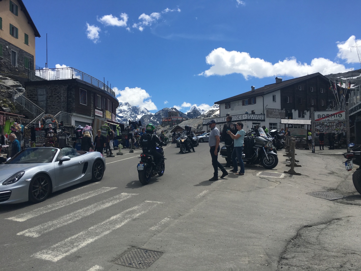
Stelvio!
Stelvio!
Looking west from the top of Stelvio toward Umbrail pass.
The road downhill is in Italy, but the mountainside just uphill of the road on the right side is in Switzerland.
At
the time I
knew I was close to Switzerland but didn't know how close.
Looking east towards the top of Stelviopass from the Bormio side
On the way down I stopped and took lots of pictures at turn 1 since
there's plenty of room to do so, and you also have a fairly good view
of all the hairpins.
turn 1
PANO - scroll right
turn 1
Berghotel Franzenshöhe is at the bottom
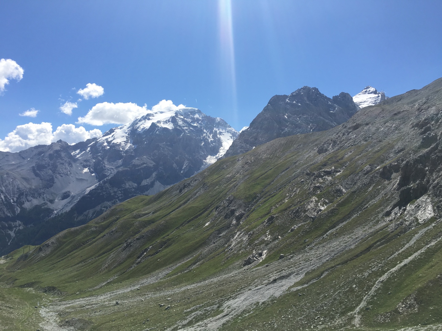
Ortler / Ortles 3905m, Il Gran Zebru 3851m, Monte Zebru 3735m, Cime di
Campo 3480m
It look longer than I would have liked to get back to town.
I got back to Silandro / Schlanders at about 2:45pm.
Since I had to turn my bike in anyway I just hung out in the park out
front of Bikeman.it waiting for them to open at 3pm
I turned in the bike, hobbled back to the hotel, and collapsed.
I moved quite slowly the rest of the day...
When I got back I discovered that I drank nearly every drop of the
2-1/2 liters in my camelback
There were a few places to stop and get water on the way up, nearly
everyone rides with 1 or 2 small bottles and stops to refill them
I didn't know there's be water by the side of the road or perhaps I'd
have done the same...
The start and end point, Silandro / Schlanders is in the upper right
The red arrow is pointing at the top of the Stelvio
Bormio, the town at the base of other side of the Stelvio, is on the lower left.
Totals for the day according to MotionX:
84km / 52.2 miles distance
2,181m / 7,154' total ascent
706m / 2,319' min altitude
2,763m / 9,068' max altitude
54kph / 33.8mph max speed (I don't go very fast downhill, esp on bikes
I'm not familiar with)
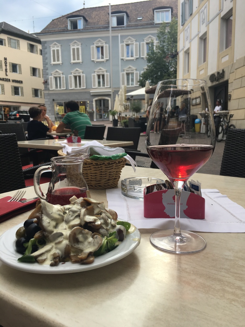
Salad bar and the local red
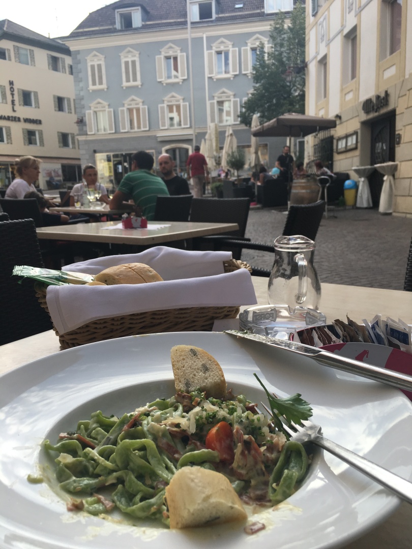
2017-07-05 19:25
Basilikum-tagliatelle pasta with fresh mushrooms in butter sauce with
speck and scallion
Very very very buttery yummy!
Previous
Tuesday July 4, 2017
Driving the Sella Ronda