| home |
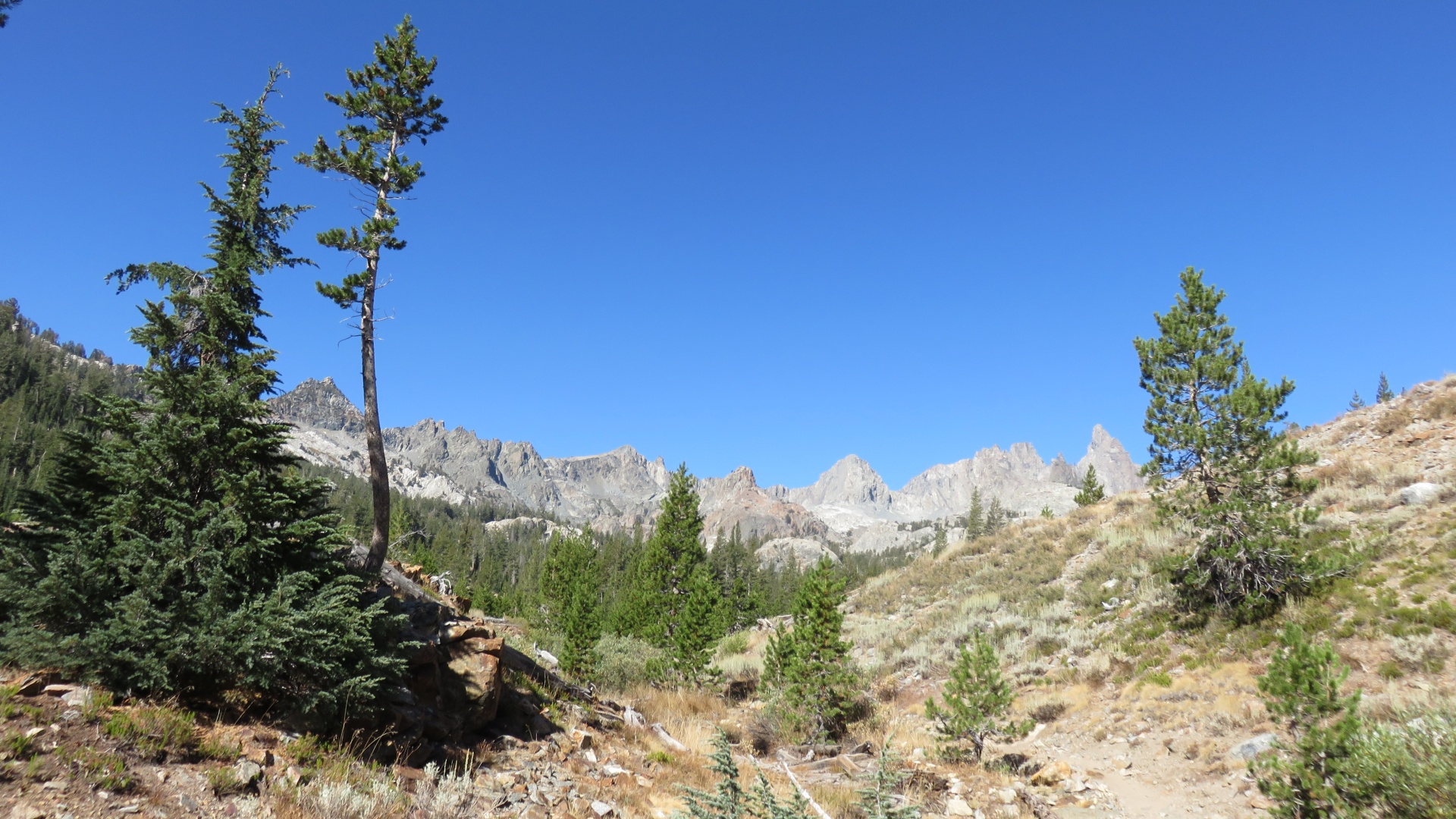
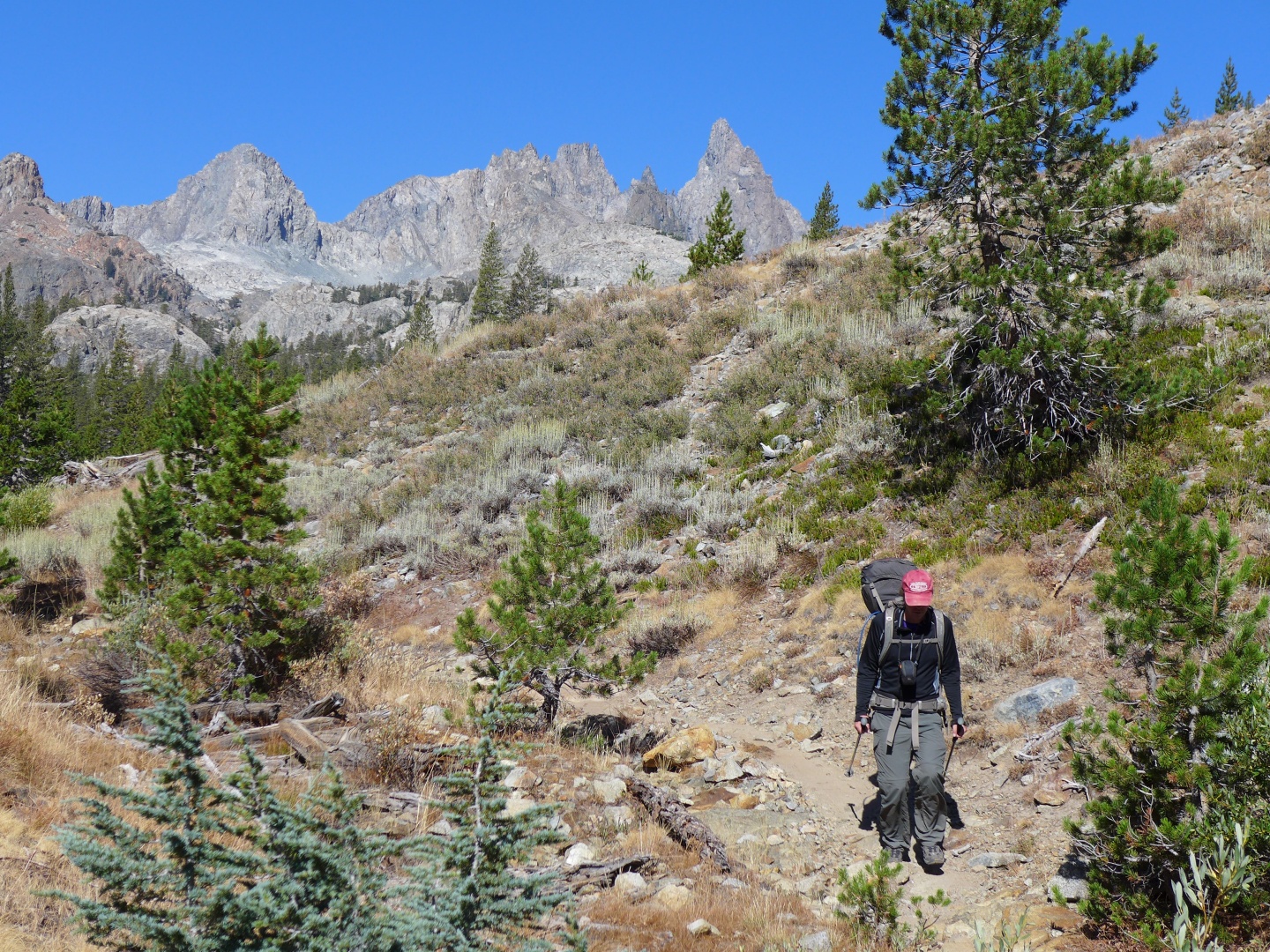
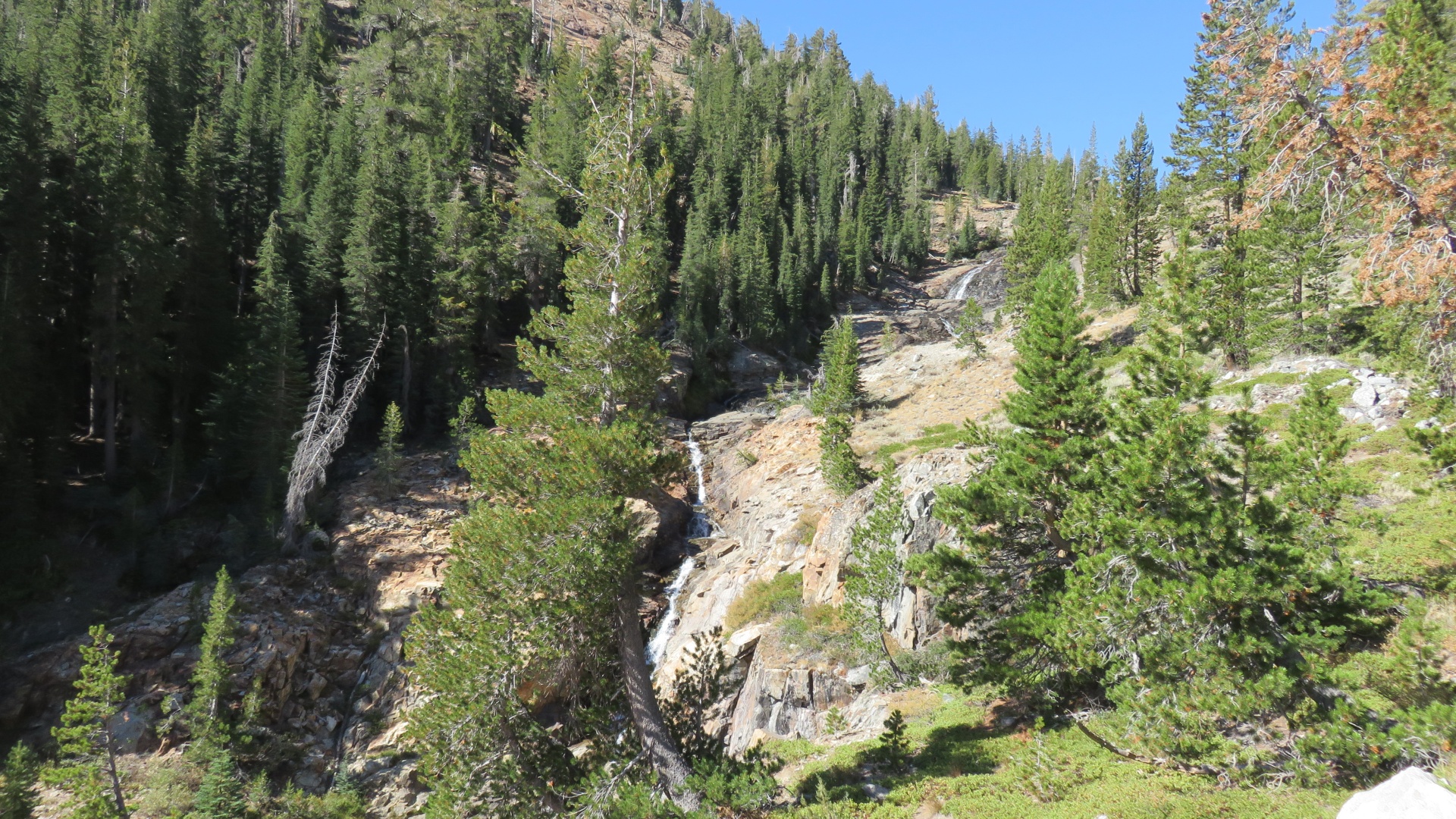
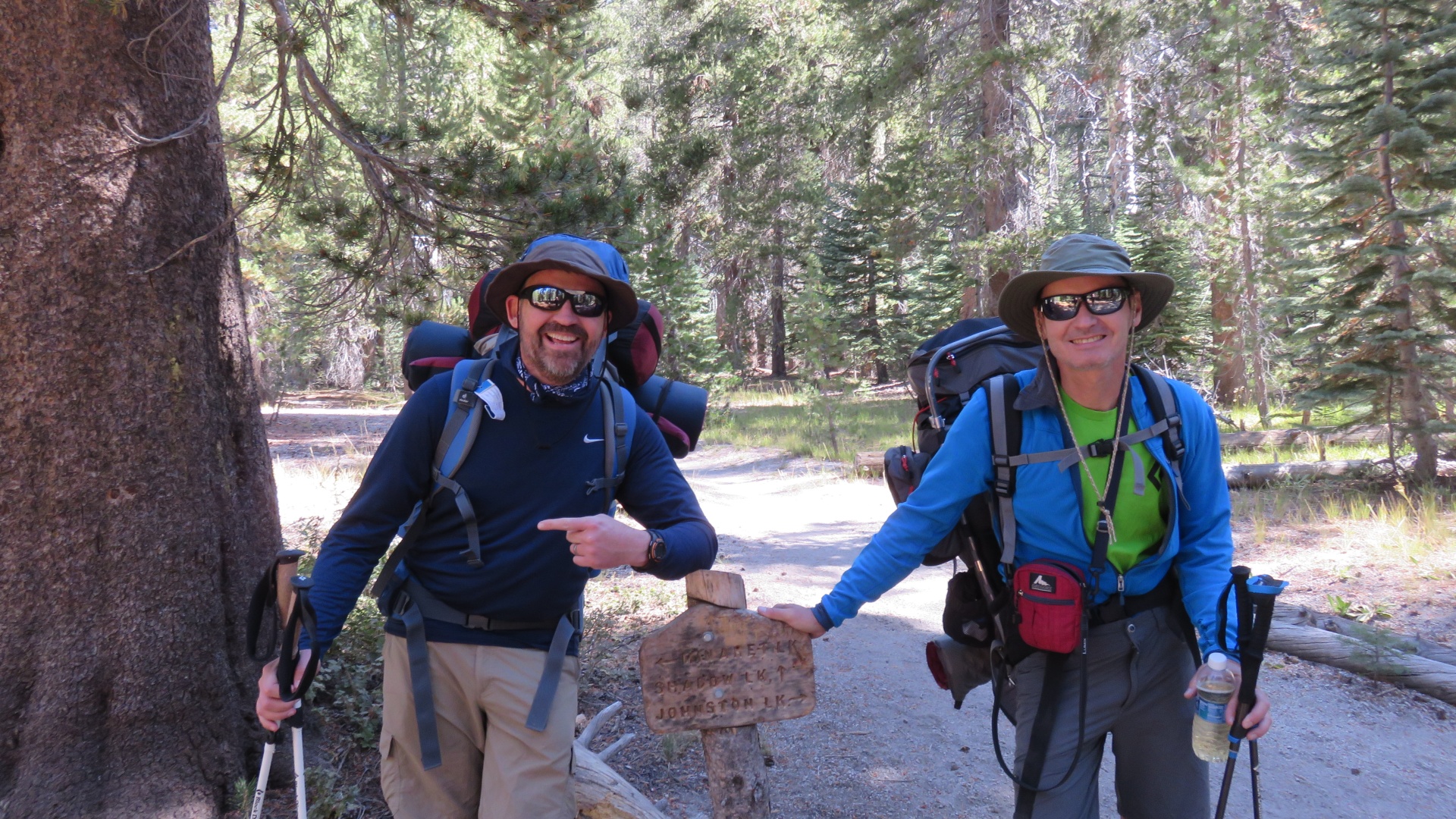
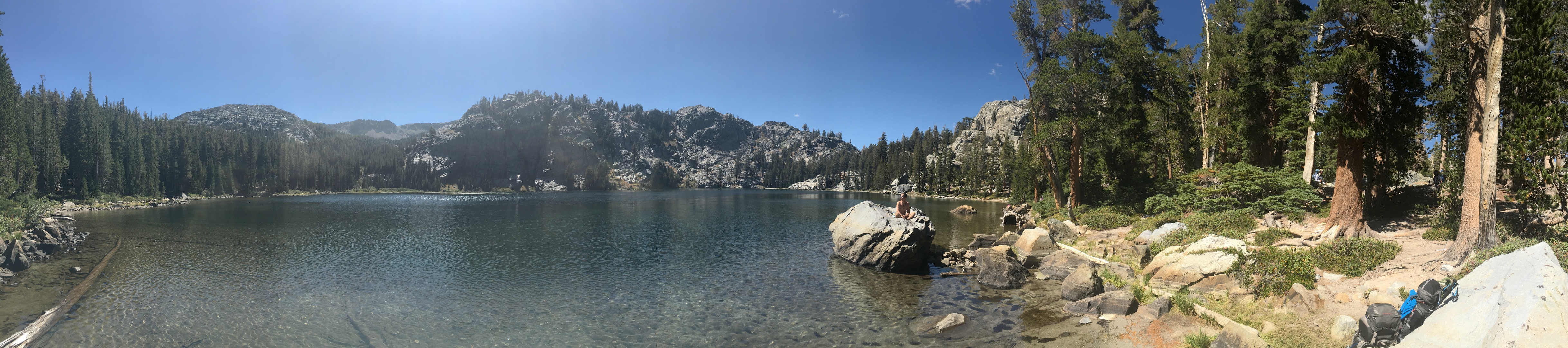
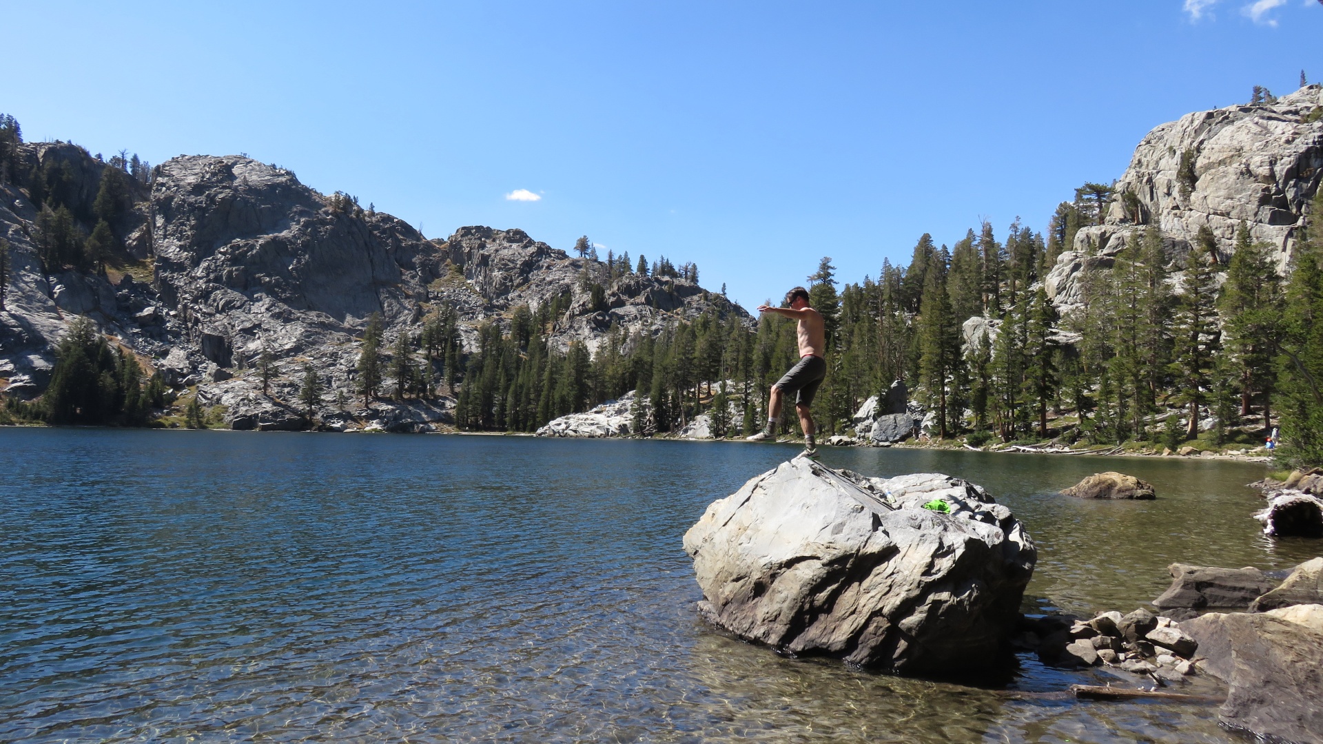
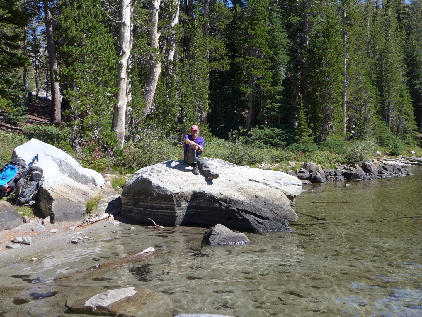
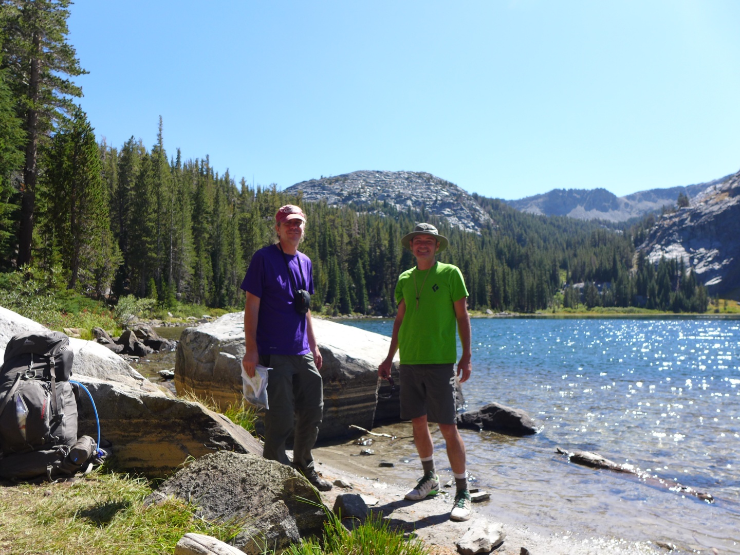
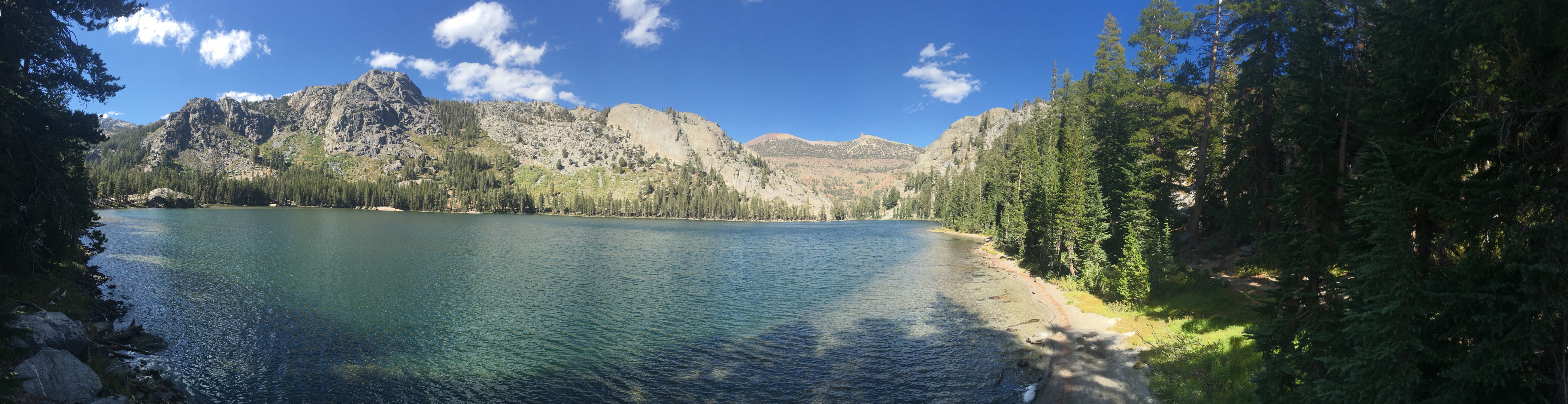
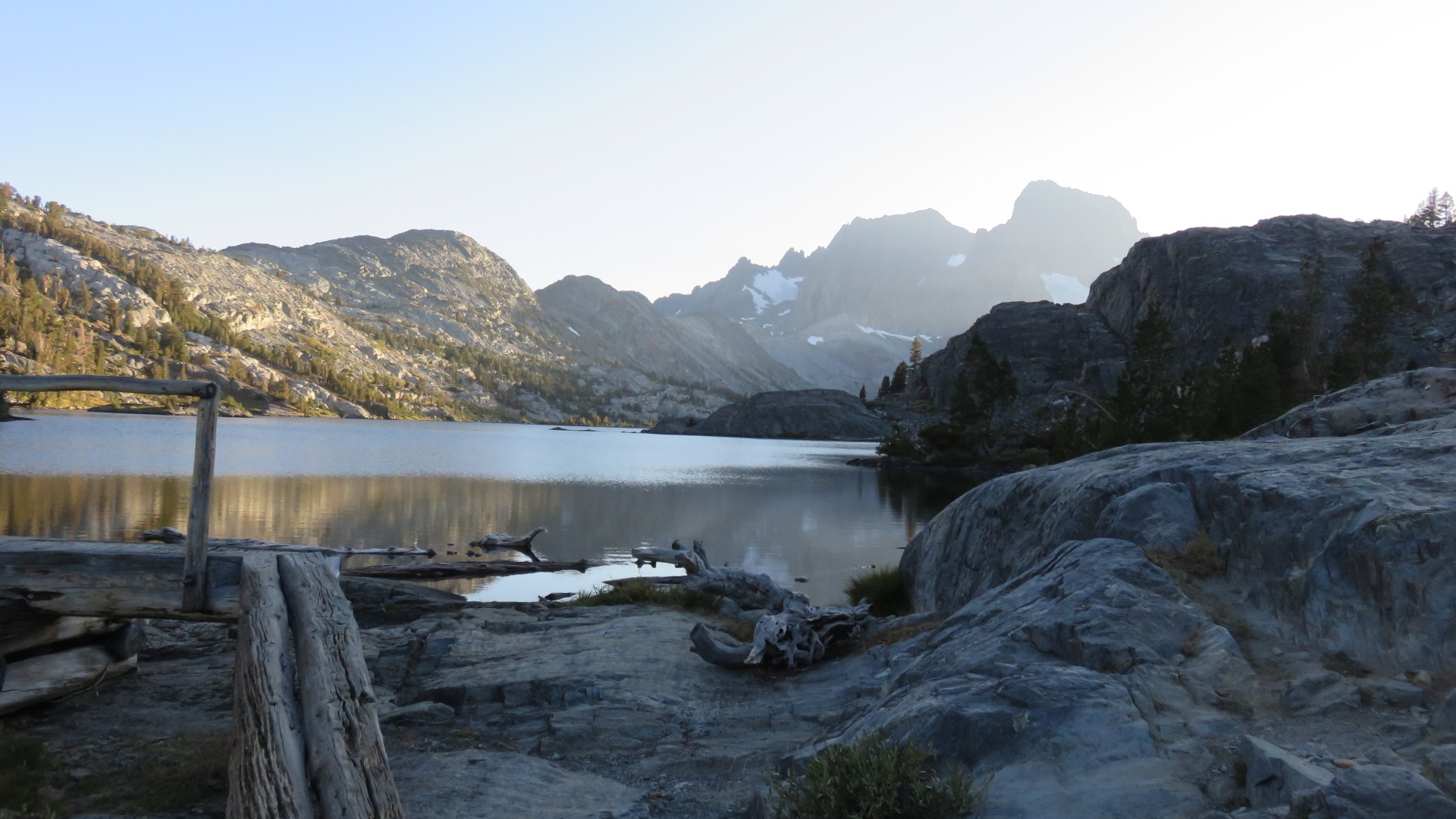
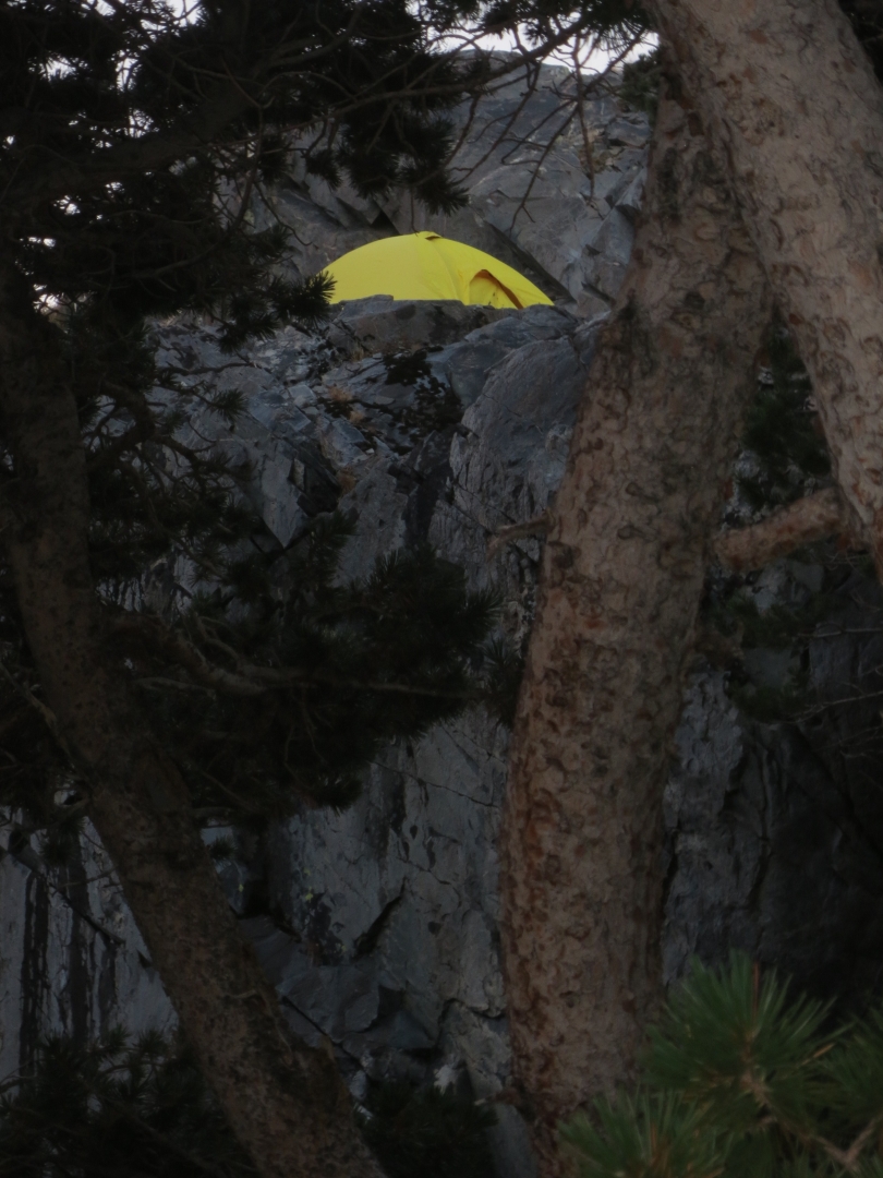
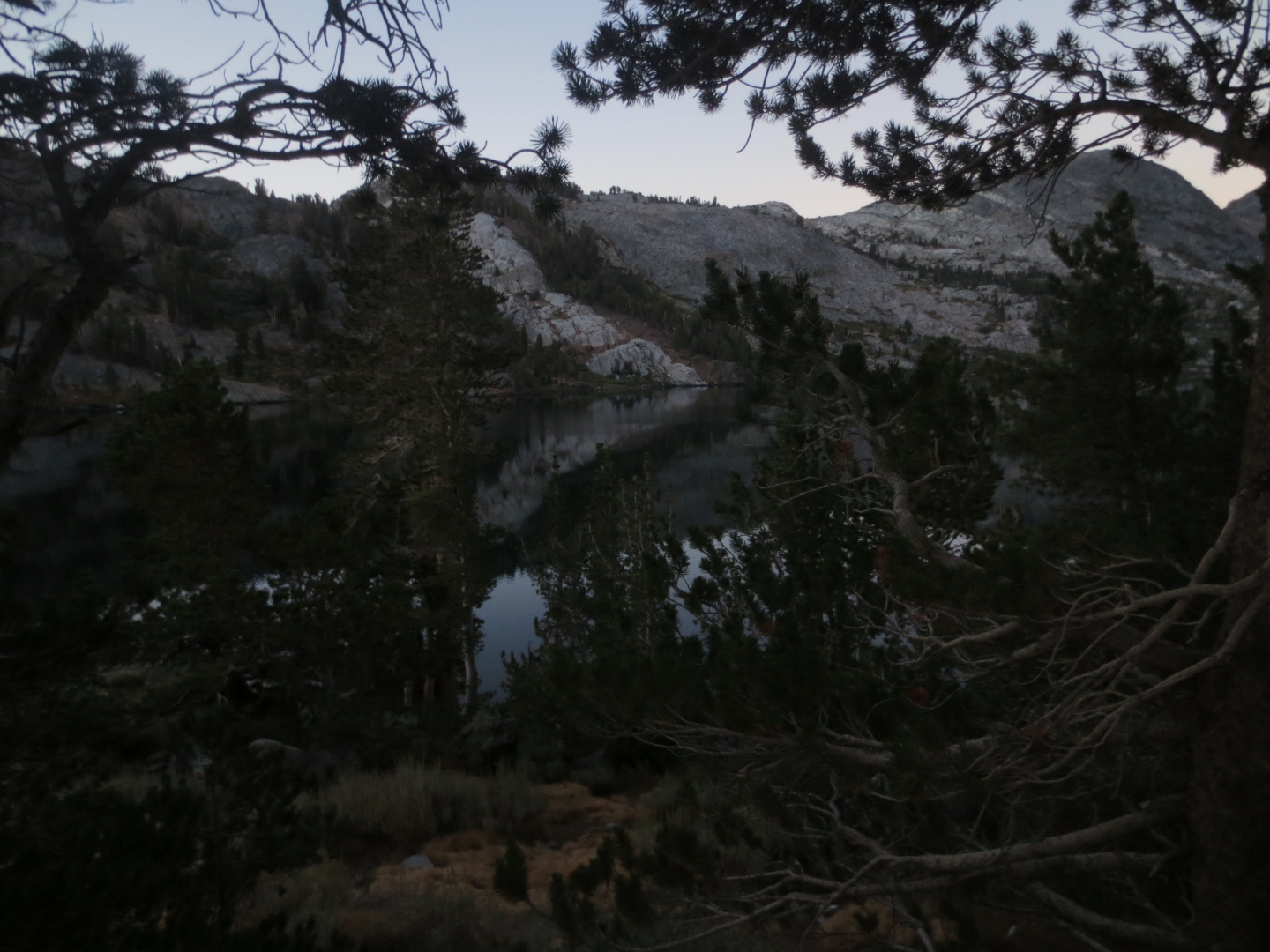
John Muir Trail - Red's Meadow to Tuolumne Meadows 2016 |
Previous
|
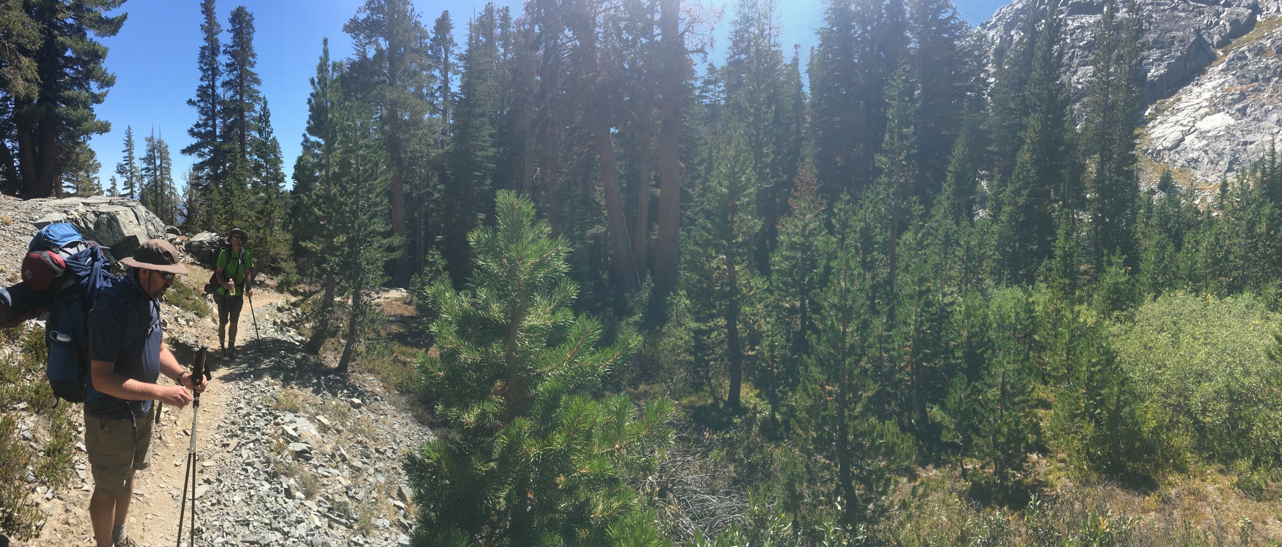
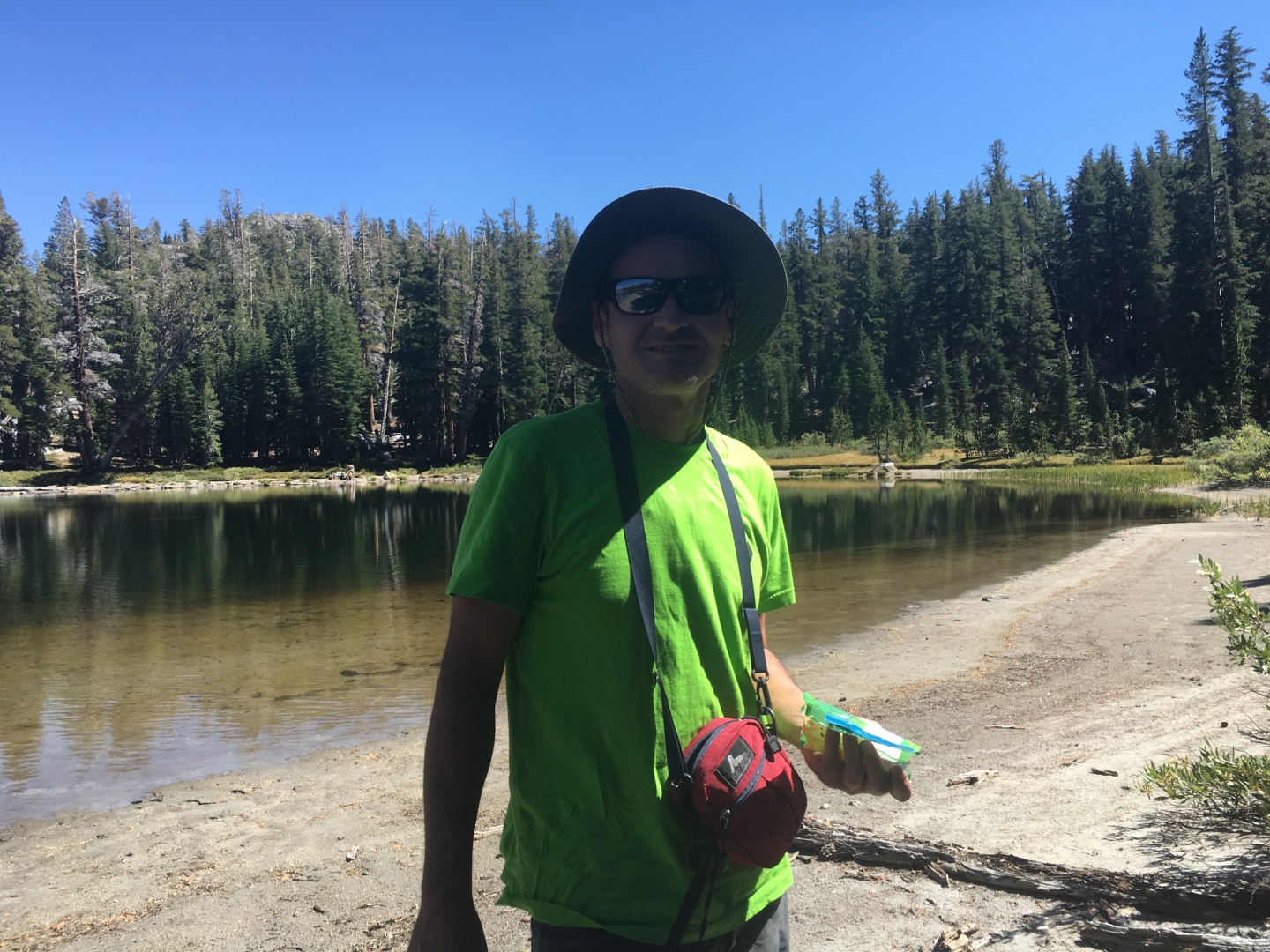
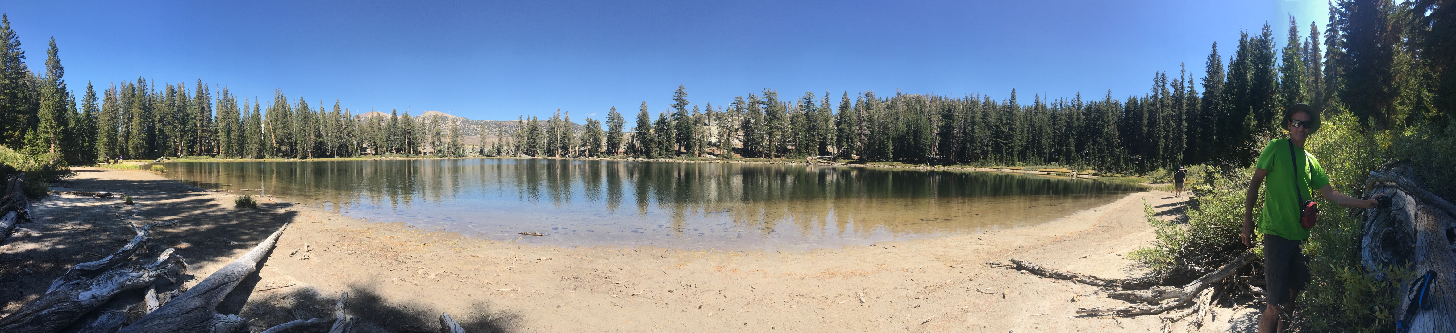
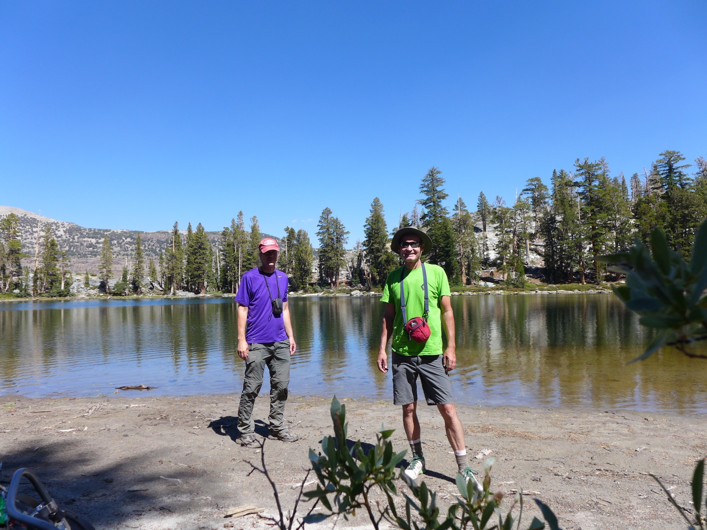
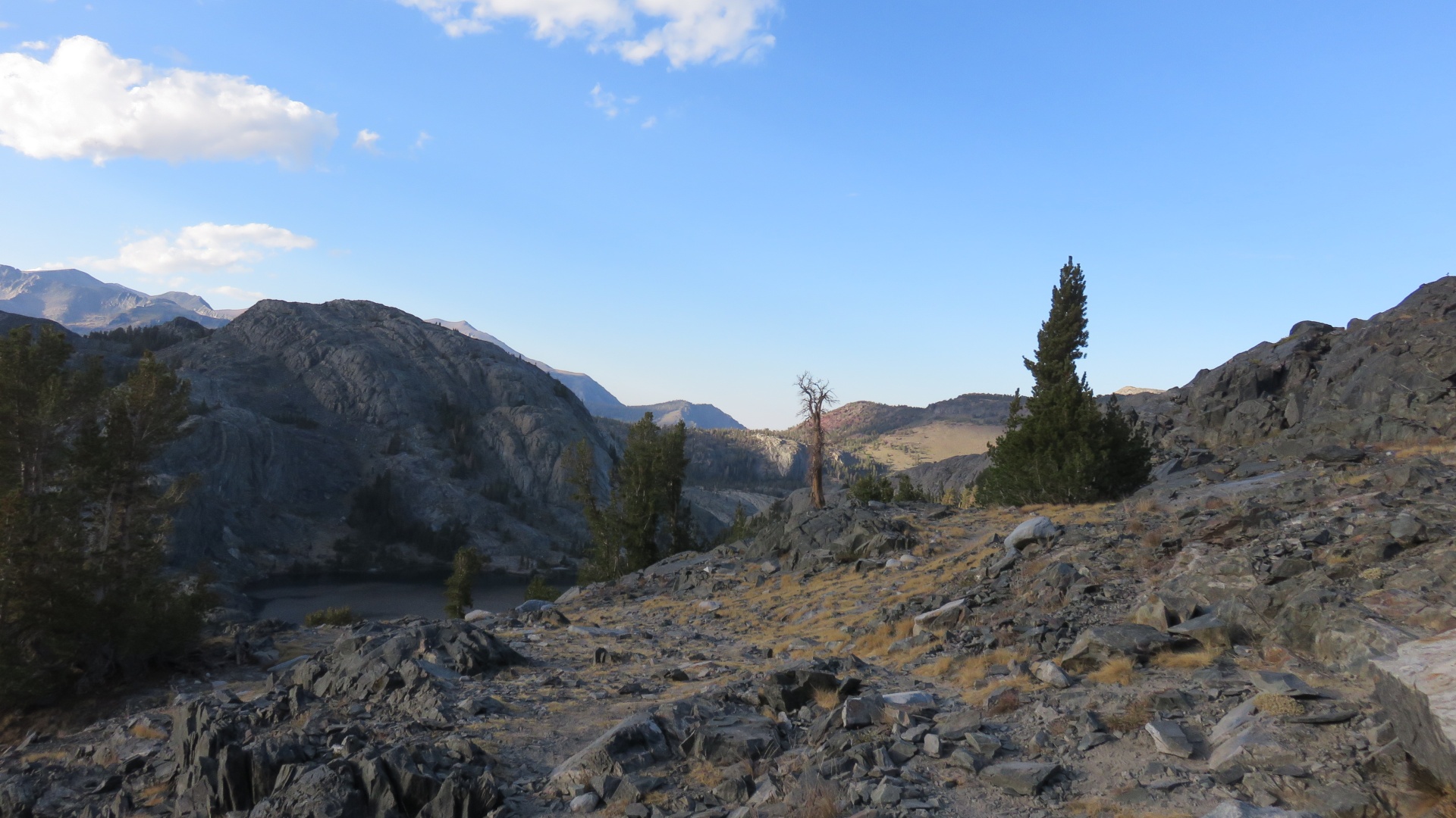
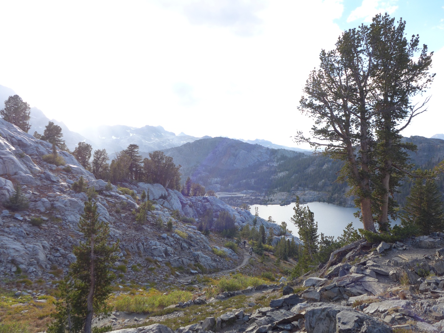
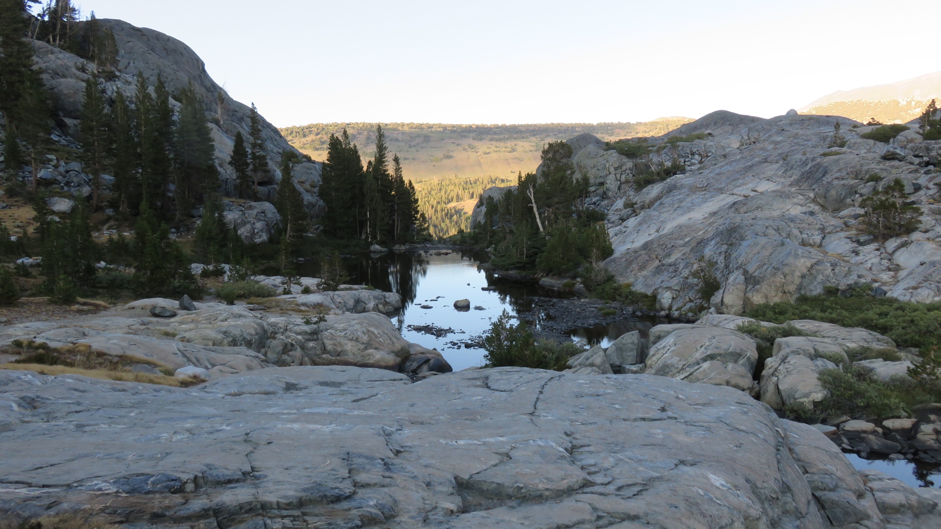
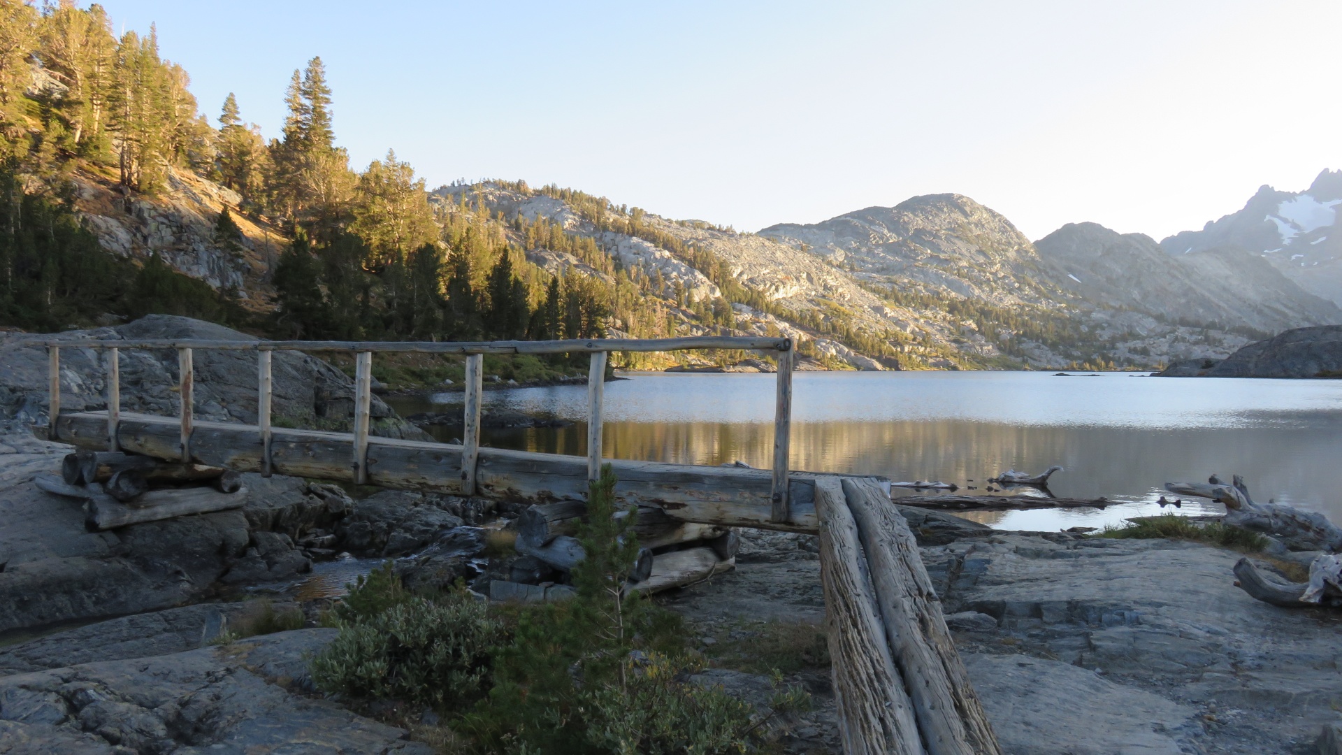
Monday September 5, 2016
|
Next
|


| home |
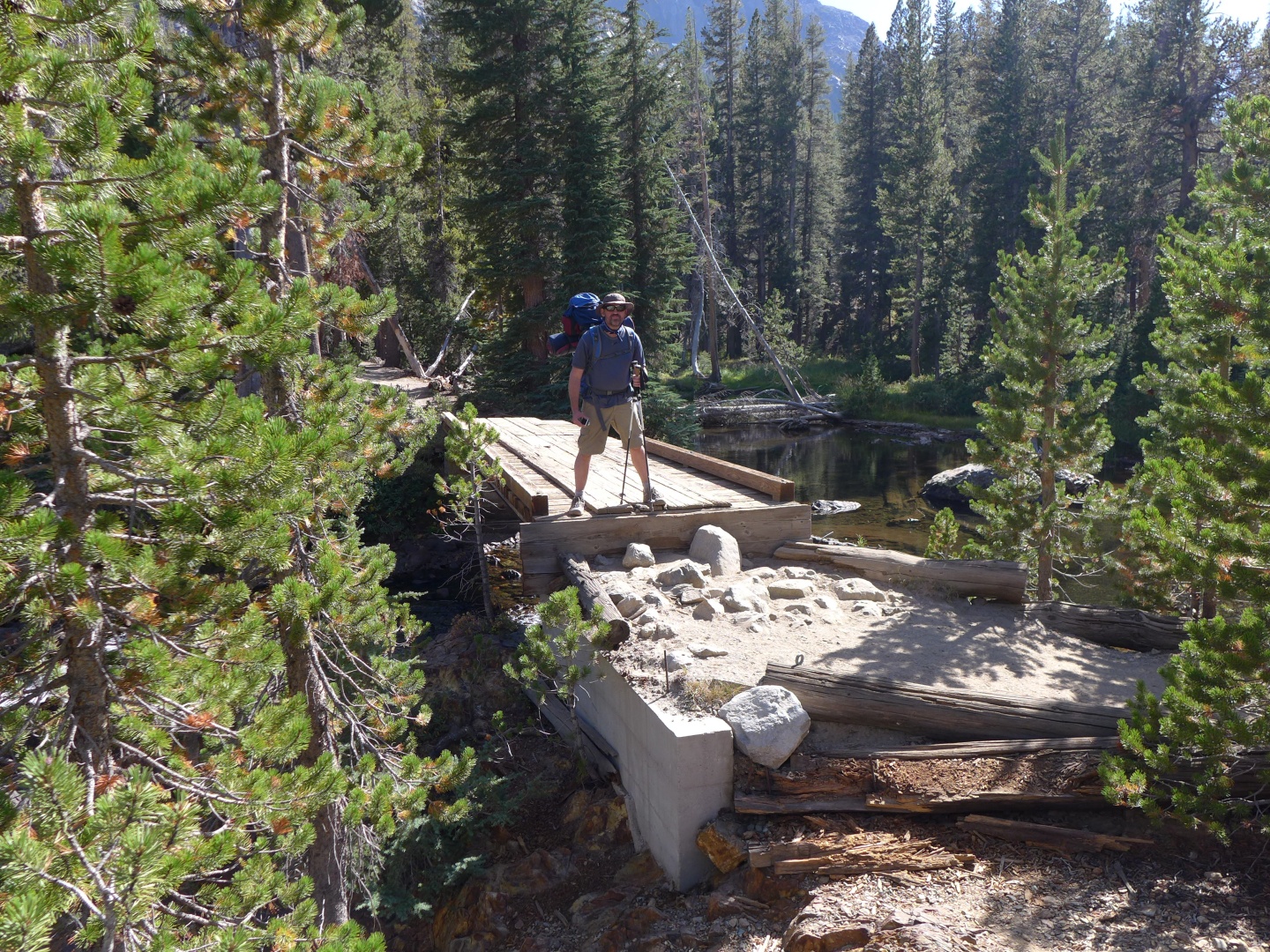
John Muir Trail - Red's Meadow to Tuolumne Meadows 2016 |
Previous
|
Monday September 5, 2016
|
Next
|