Previous
Saturday July 29 and Sunday July 30, 2017
El Granada to Saint-Michel-de-Maurienne, France
Monday July 31, 2017
Bike up Col du Télégraphe and Col du Galibier
Next
Tuesday August 1, 2017
Saint-Michel-de-Maurienne, France to Martigny, Switzerland
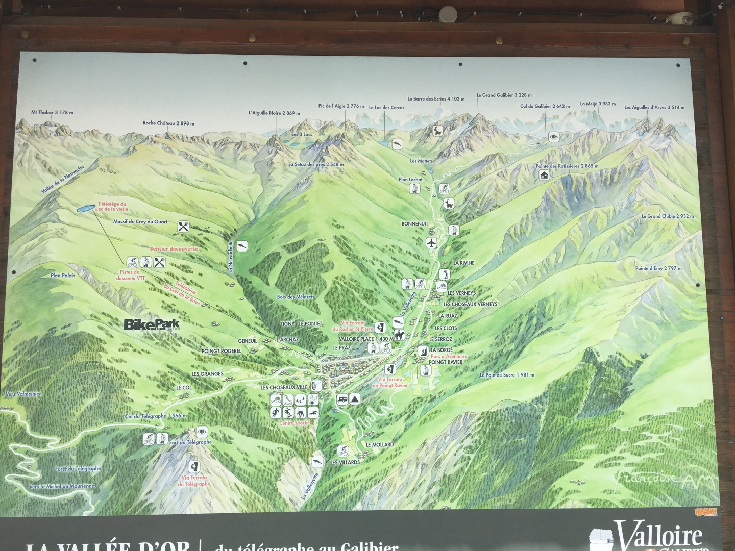
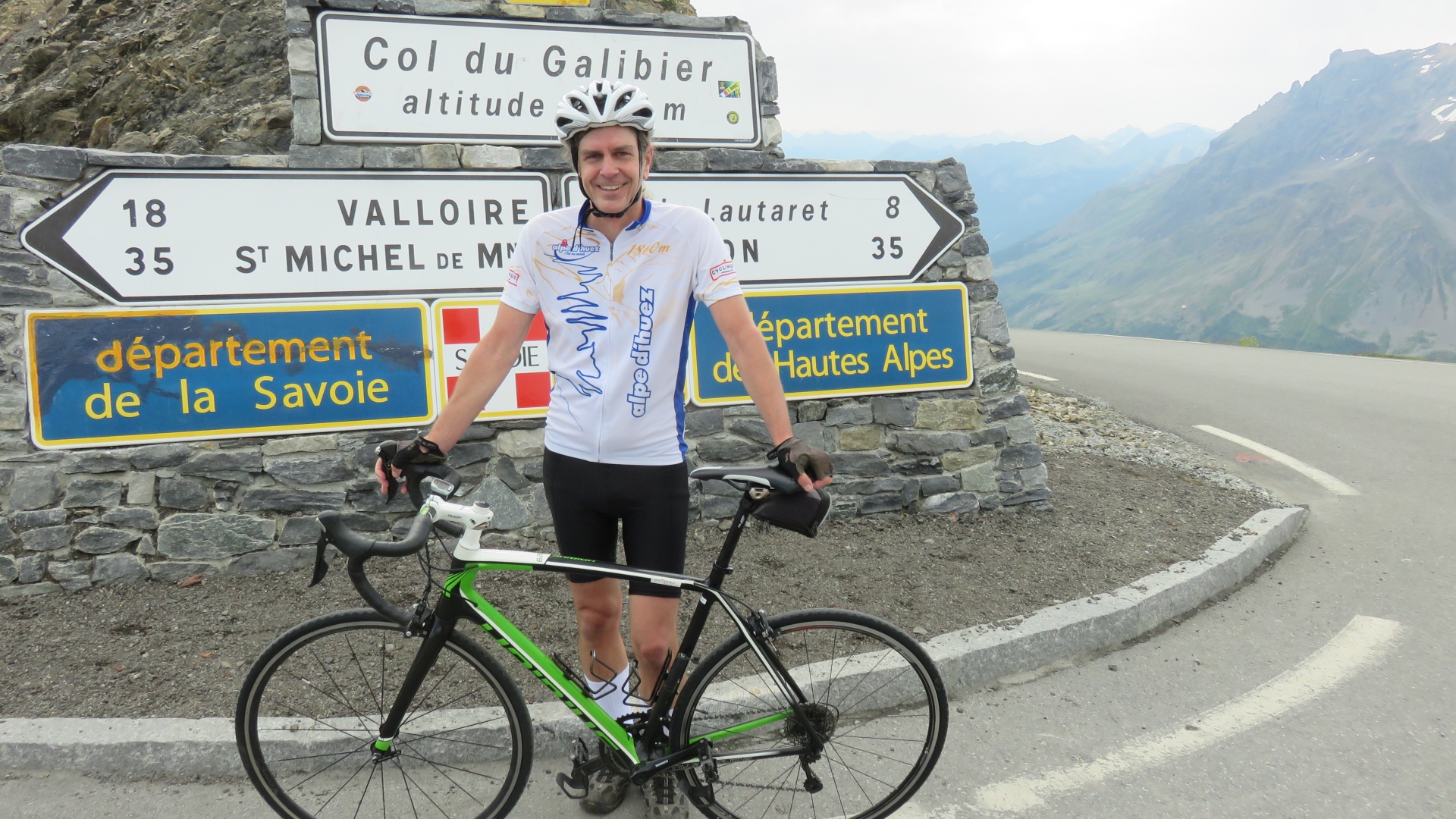
Col
du Galibier 2645m / 8,678' is the seventh highest paved road in the
Alps.
It is frequently featured in the Tour de France; the Tour last passed
through here just 12 days ago.
From the north, starting at Saint-Michel-de-Maurienne 720m / 2,362'
including the
Col du Télégraphe 1566m / 5,138', the climb is 34.8 kilometres / 21.6
mi long,
gaining
2,120 metres / 6,960 ft in height (an average of 6.1%).
Col du Télégraphe
From the north,
starting at Saint-Michel-de-Maurienne,
the climb is 11.8 kilometres / 7.3 mi long, gaining 856 metres / 2,808
ft in height (an average of 7.3%).
The maximum gradient is 9.8% at the summit.
The road then descends into Valloire for 4.8 kilometres / 3.0
mi at an average gradient of 3.4%, losing 165 metres / 541 ft
elevation.
Col du Galibier
From Valloire the climb to the
summit is 18.1
kilometres / 11.2 mi long at an average of 6.9% (height gain: 1,245
metres / 4,085 ft).
The maximum gradient is 10.1% at the summit
On this generally south facing map,
Saint-Michel-de-Maurienne 720m / 2,362 is off the map to the lower left.
Col du Télégraphe 1566m / 5,138' is
in the lower left.
Col du Galibier 2645m / 8,678' is in the upper right
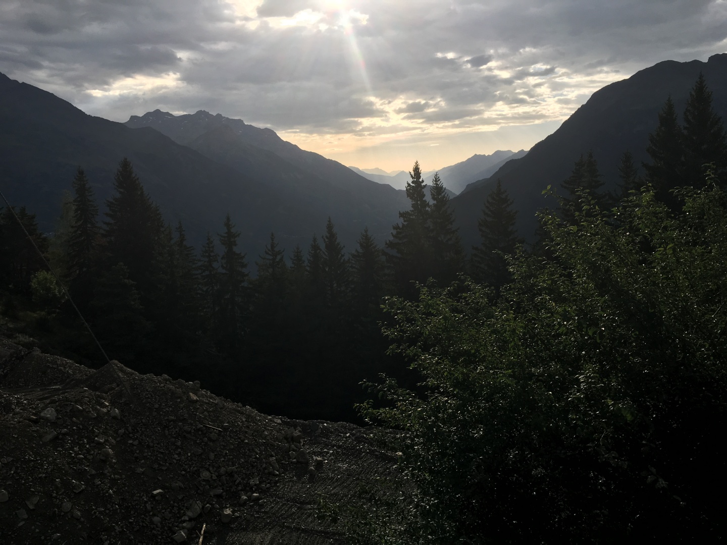
I started cycling
in
the early morning light at 620am.
It was still a little dark for cycling without a taillight but I wanted
to get started.
It seemed significantly brighter after my bakery stop for orangina and
croissant., I'm sure that was mostly just the
sugar in my system...
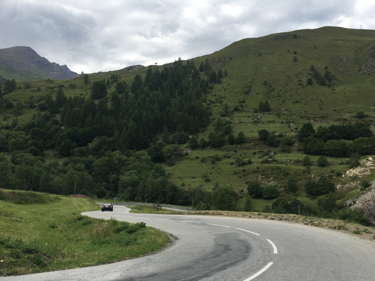
The climb up Col du Télégraphe
is mostly in the shade and trees.
It sprikled just a bit, which wasn't a problem but was slightly
disconcerting given that the forecast called for a zero percent chance
of rain...
Early on the ride felt so good I started thinking about going to
Grenoble tonight and riding Col de Croix Fer car free tomorrow.
Riding anything car free is a huge plus, and the opportunity to eat as
many as two dinners at the
fantastic L'inattendu
in Grenoble was another huge plus.
That would be at least 4 hrs
roundtrip of train and
bus travel in wrong
direction.
Then I realized I could do the north side of the same mountain if I
just kept my bike another day, the north side starts in
Saint-Jean-de-Maurienne 10
miles or 1 train stop from my craptastic hotel.
As much as I wanted to eat at L'inattendu,
it wasn't worth all that train and bus
travel...
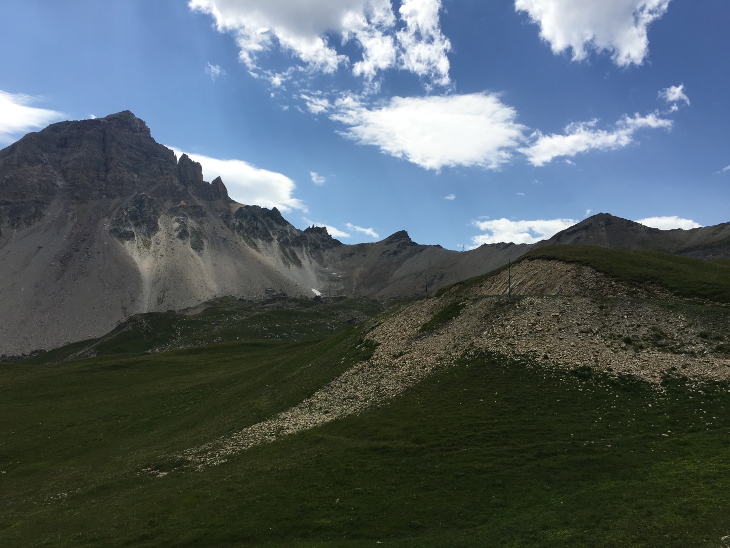
I saw a few signs at dirt
roads leading to via ferratas under the Col.
By about 8am I'd made it up Col du Télégraphe without
stopping.
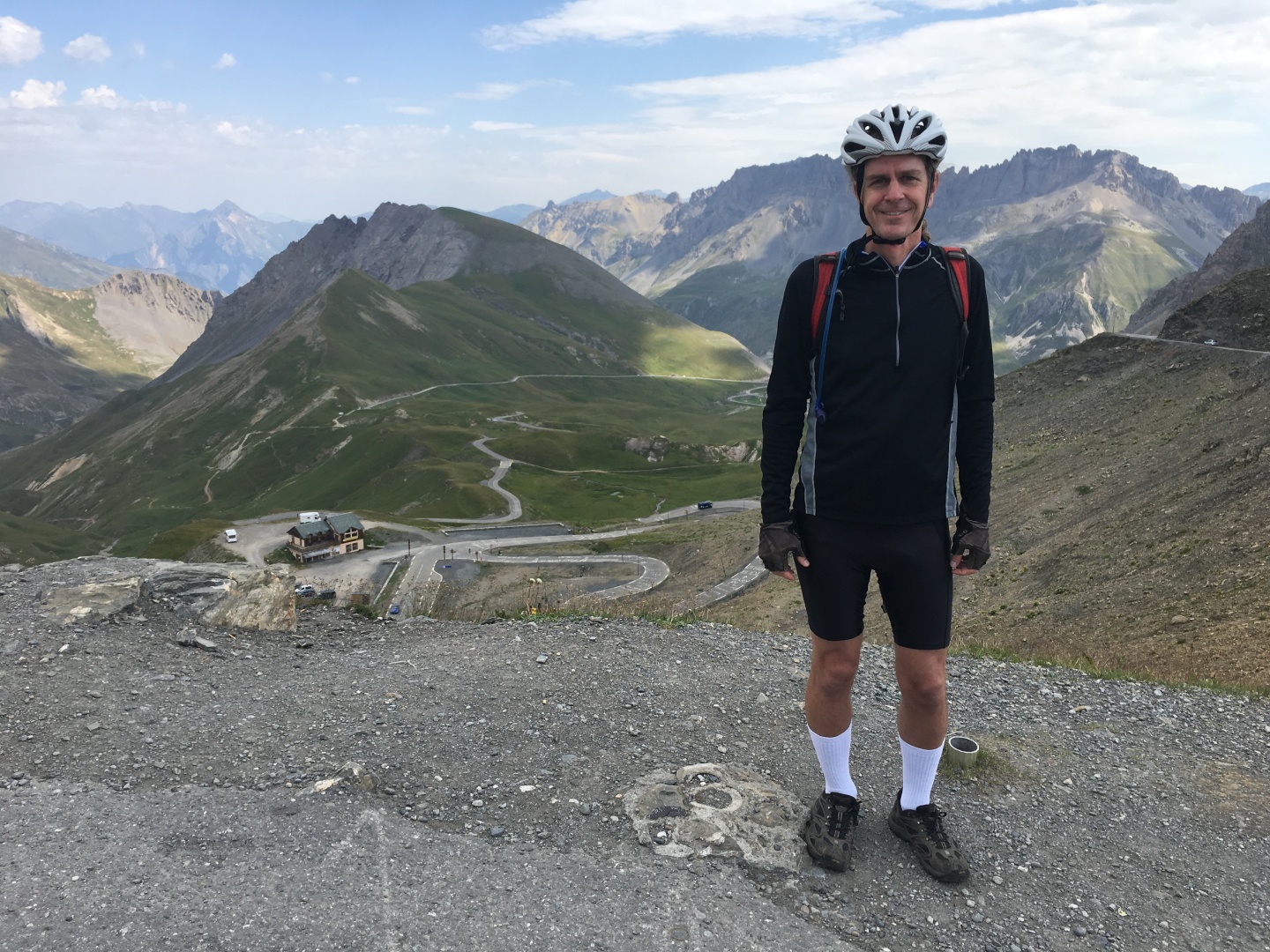
I stopped to refuel and take pictures.
2017-07-31 08:08
The Tour de France has just come through 12 days prior...
2017-07-31 08:06
2017-07-31 08:06
2017-07-31 08:06
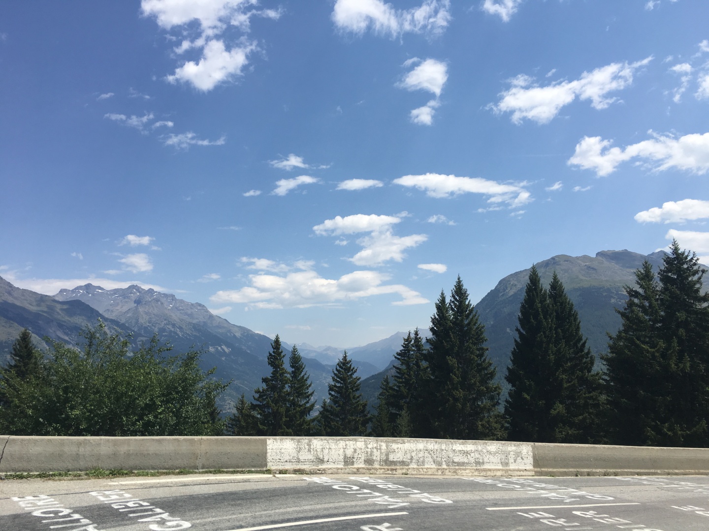
Looking east towards Italy
From Col du Télégraphe to
road descends into Valloire
for 4.8
kilometres / 3.0
mi at an average gradient of 3.4% - elevation lost: 165 metres / 541 ft.
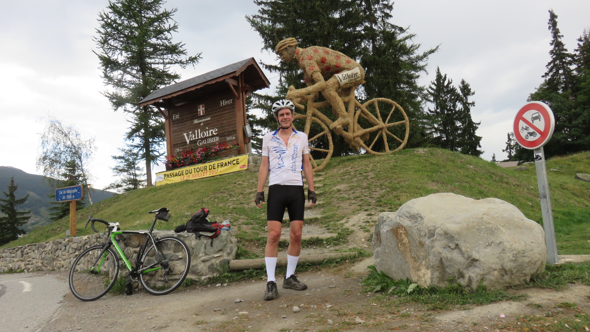
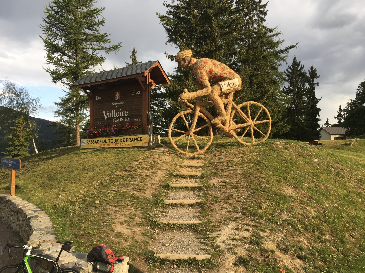
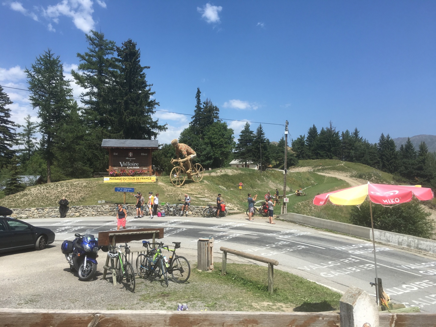
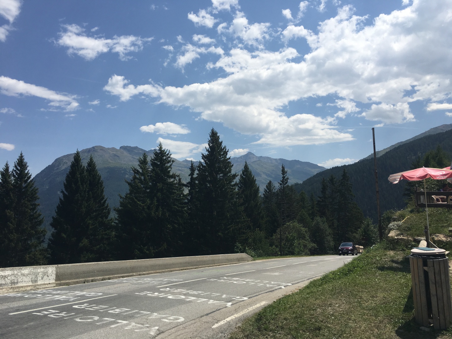
Valloire was a very
typical ski town full of expensive looking chalets and sports stores.
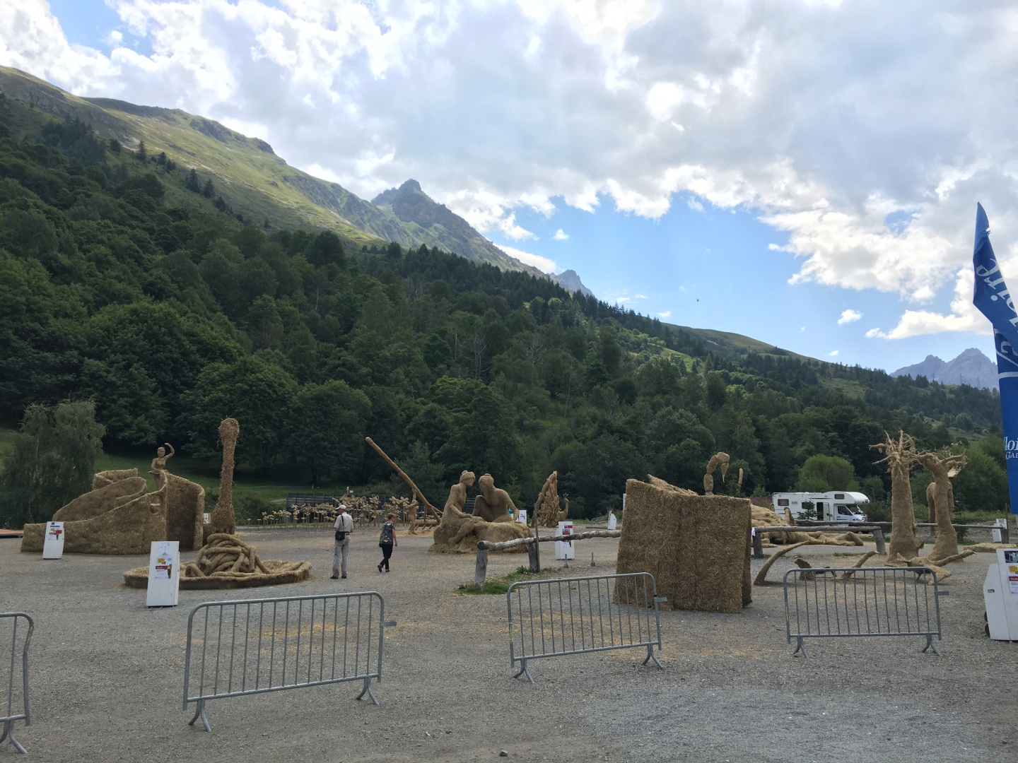
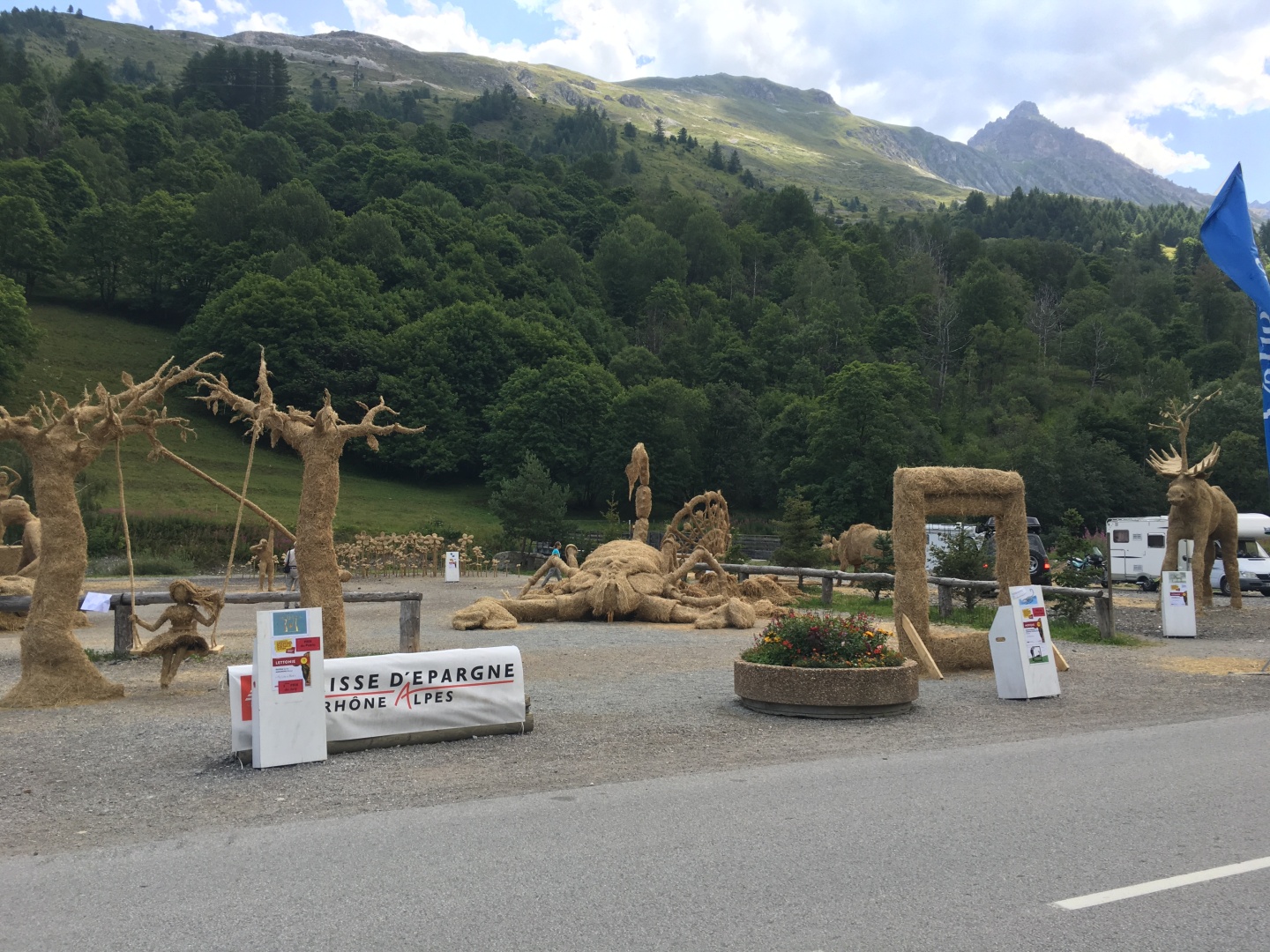
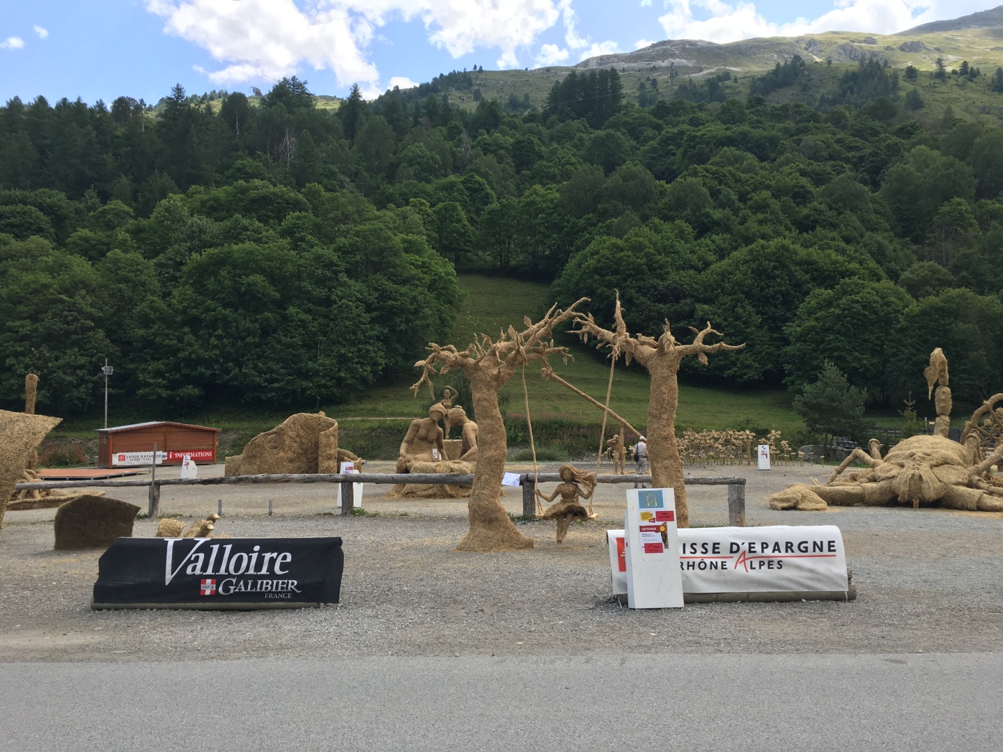
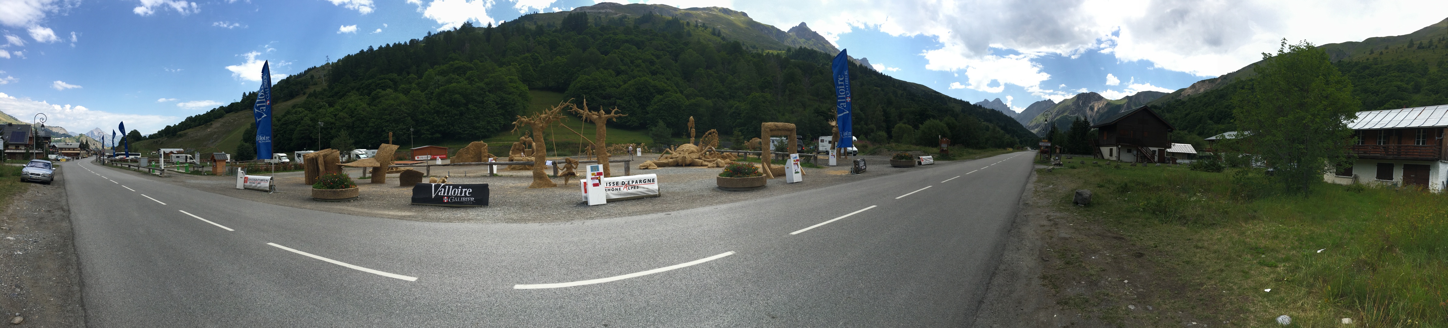
2017-07-31 12:21
Leaving Valloire was a quite
the
collection of hay sculpture.
2017-07-31 12:22
2017-07-31 12:22
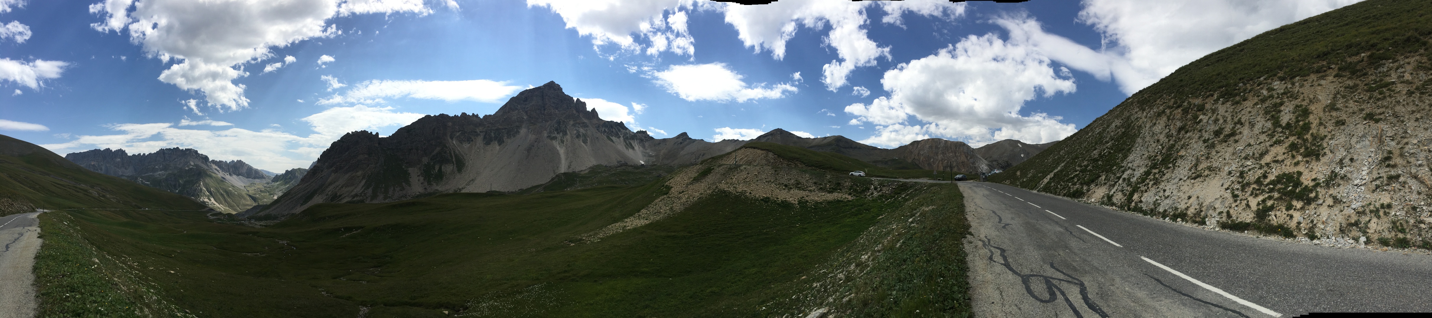
Pano, scroll right
Left is to the north / downhill.
Right is to the south / uphill
Looking south / downhill
Lookng west
Looking south / uphill
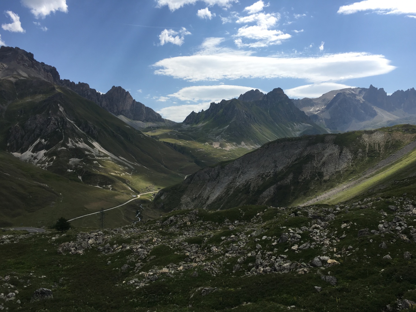
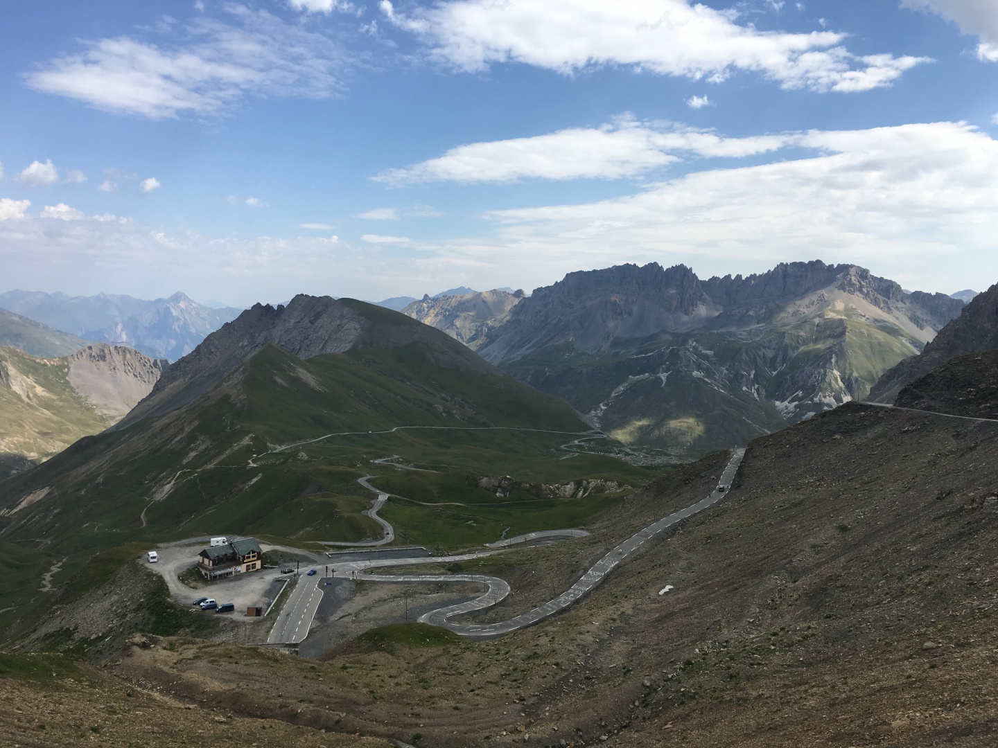
2017-07-31 11:45
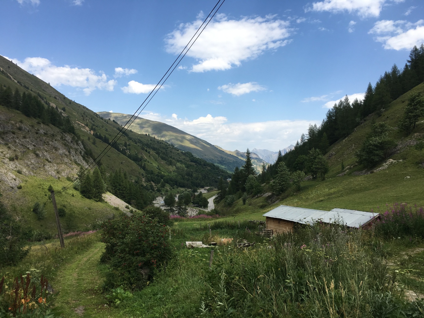
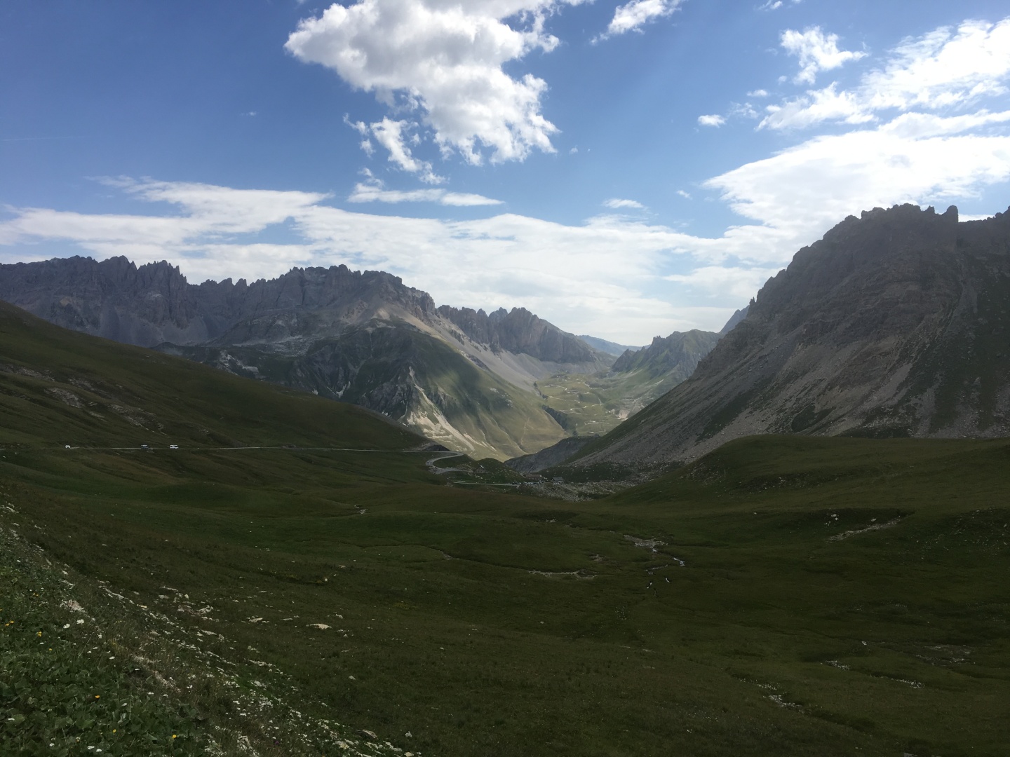
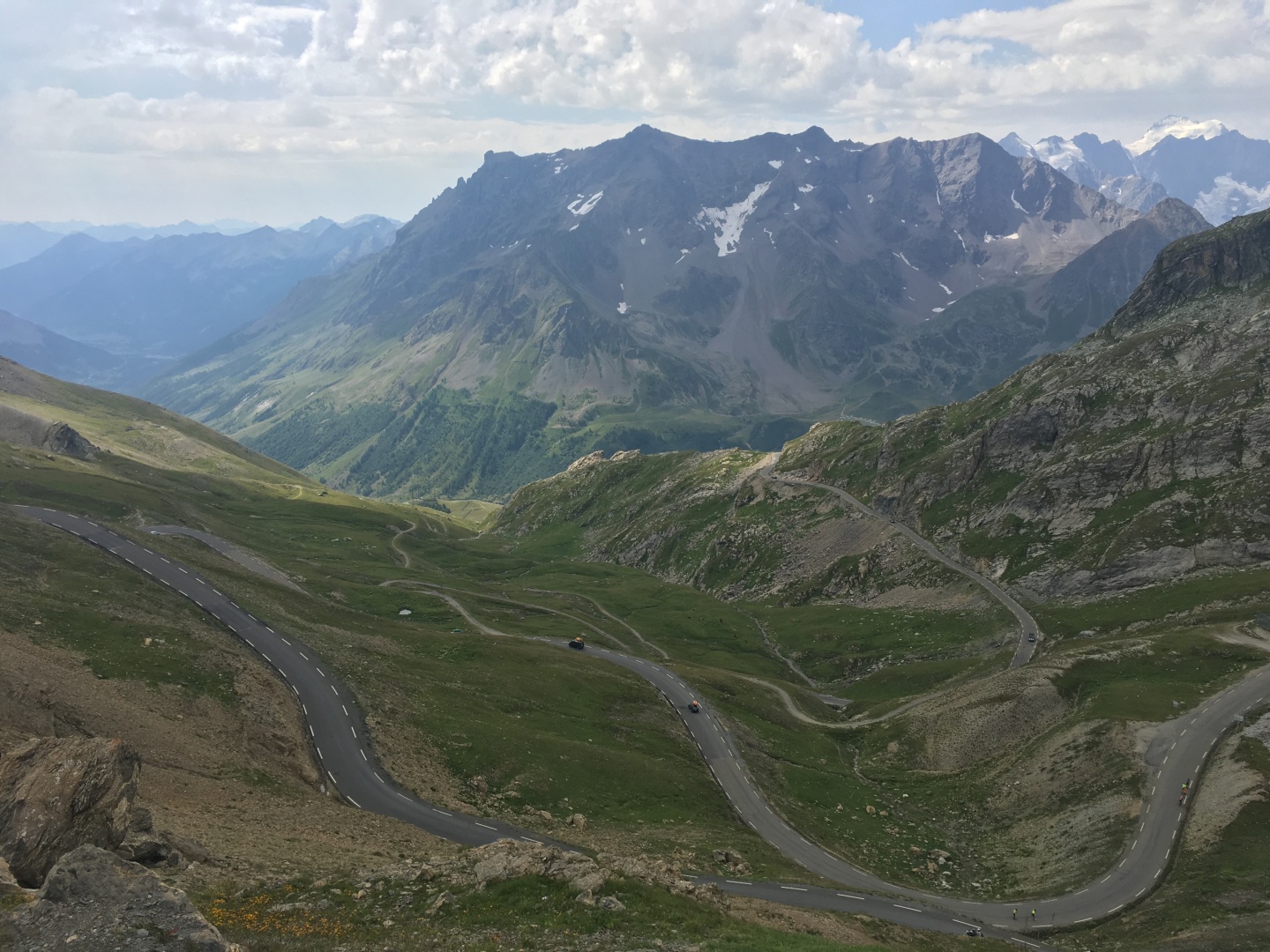
Plan Lachat, the end of the long more or less straight road up the La
Valloirette river valley,
and the beginning of the hairpin turns.
Elevation about 1990m / 6530'
Looking north
Plan Lachat looking east
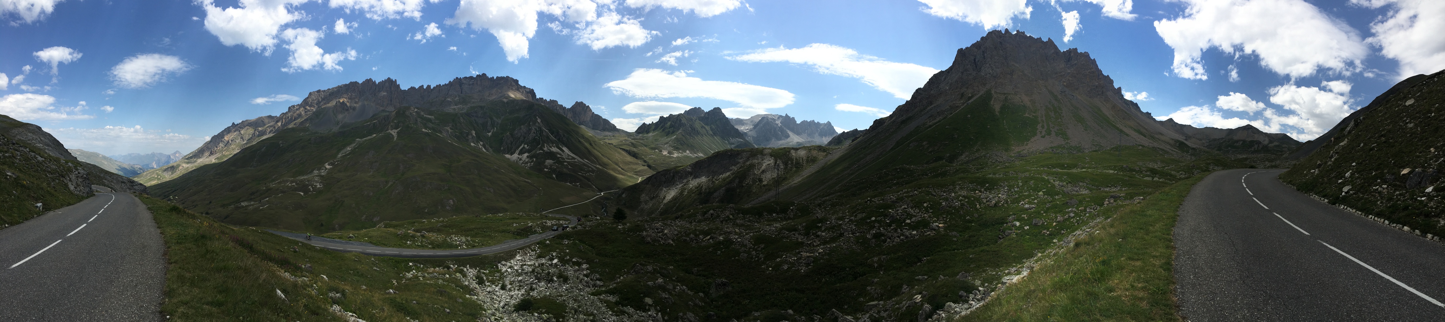
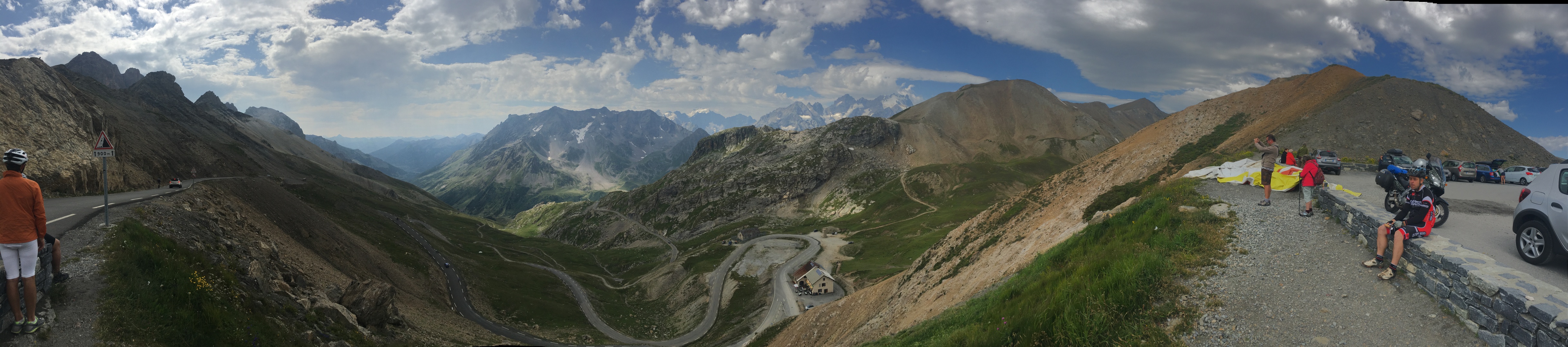
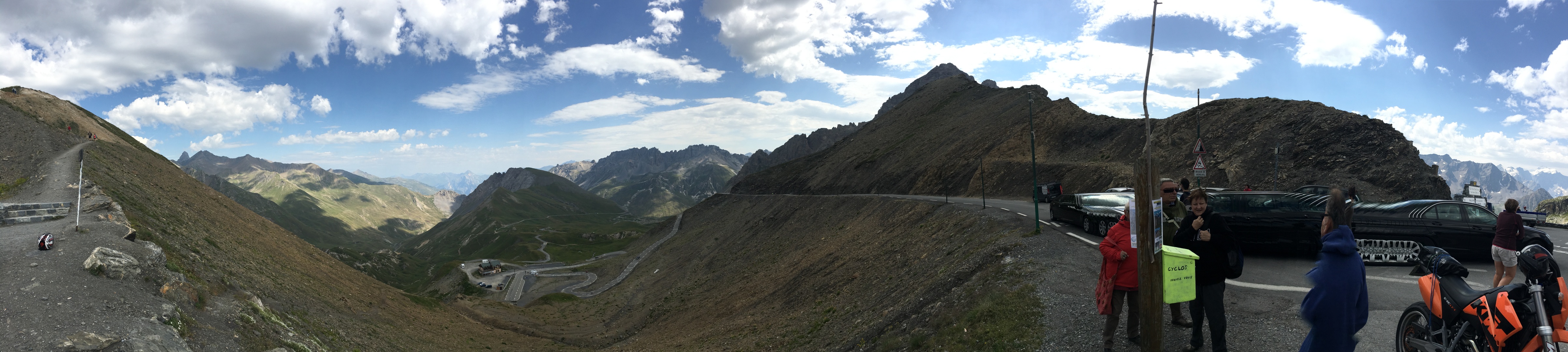
PANO - scroll right
On the left far below is the road north back down to
Saint-Michel-de-Maurienne
In the middle below out of sight is Plan Lachat
The valley in the middle was pretty but it doesn't seem to have a
name...
PANO - scroll right
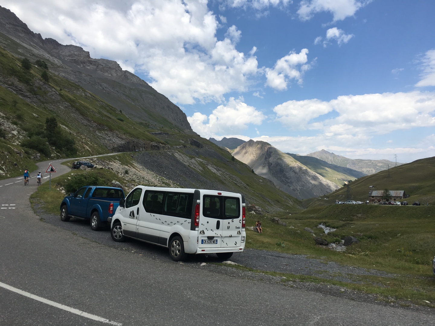
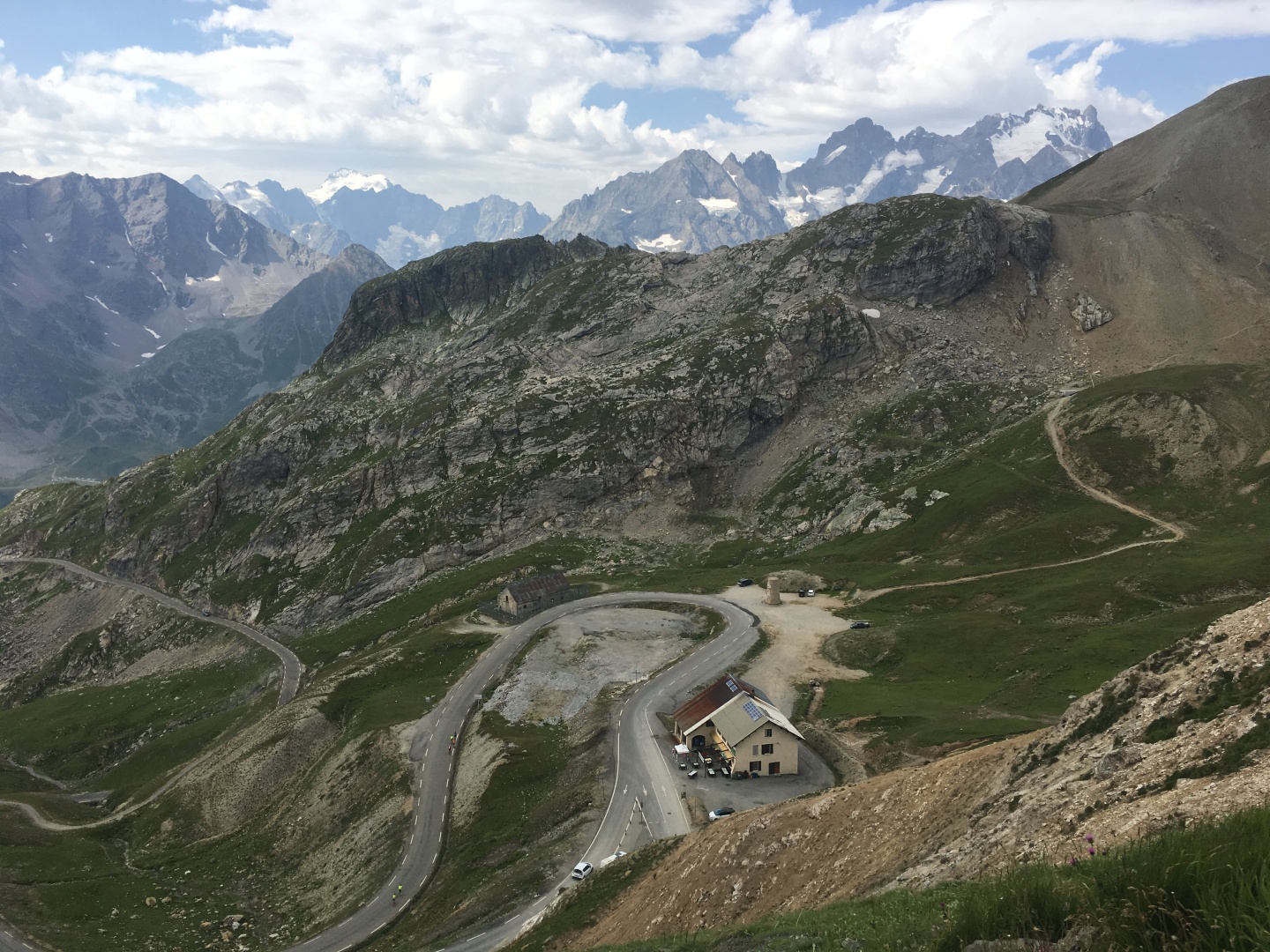
Grand Galibier 3228m / 10,591' is in the middle
Col du Galibier is just behind the white suv, the last stretch of road
up to the Col is visible above the white suv
I got passed by about 7
people total, would have been many more if i
hadn't started so early
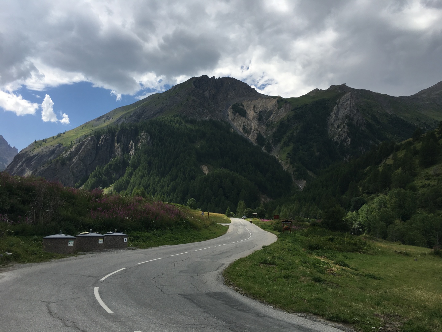
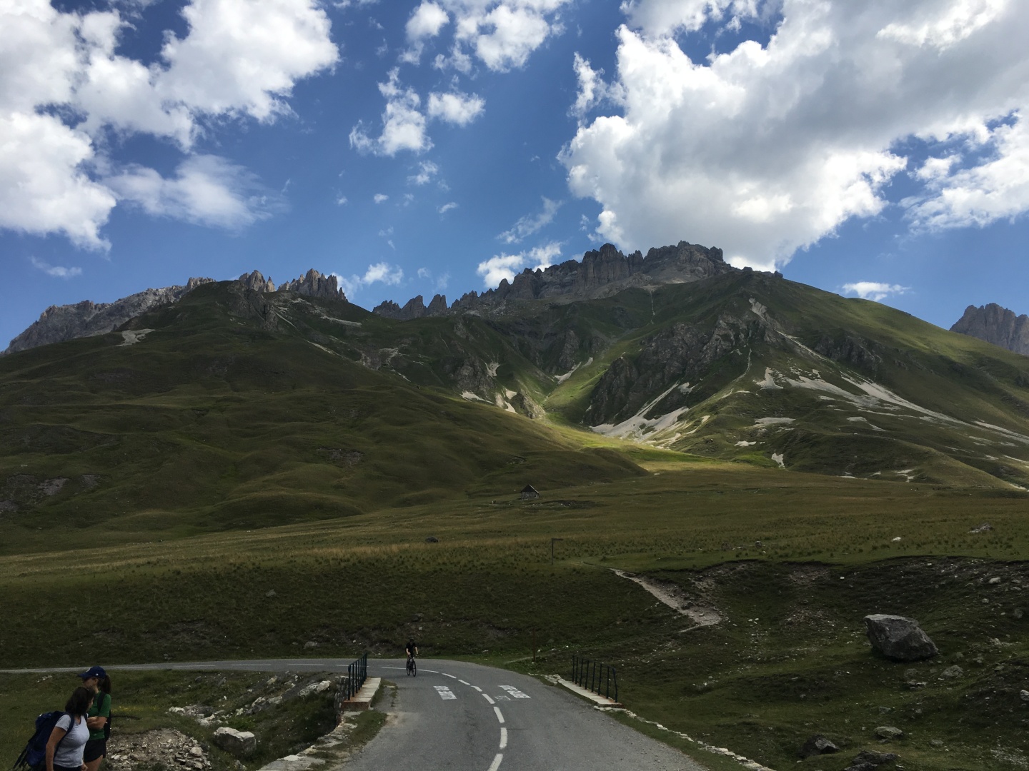
Galibier went on forever.
I may have had to stop briefly for traffic in Valliore, but after that
I didn't stop once after Col
du Télégraphe on the way up.
Other than the pictures at the Col
du Télégraphe,
and the pictures were
all taken on the way down.
2017-07-31 11:26
2017-07-31 11:20
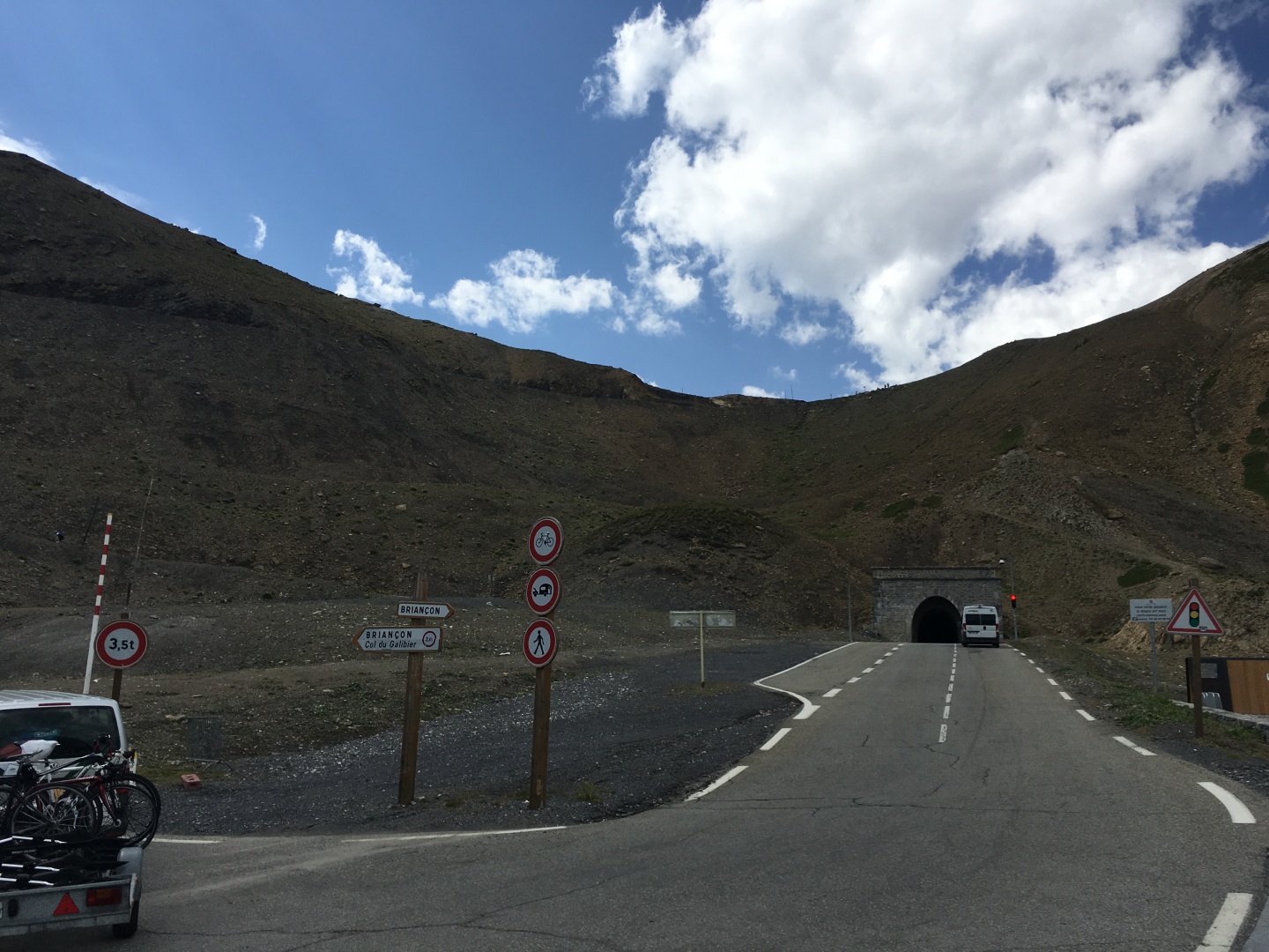
The tunnel under Col du Galibier
2017-07-31 10:46
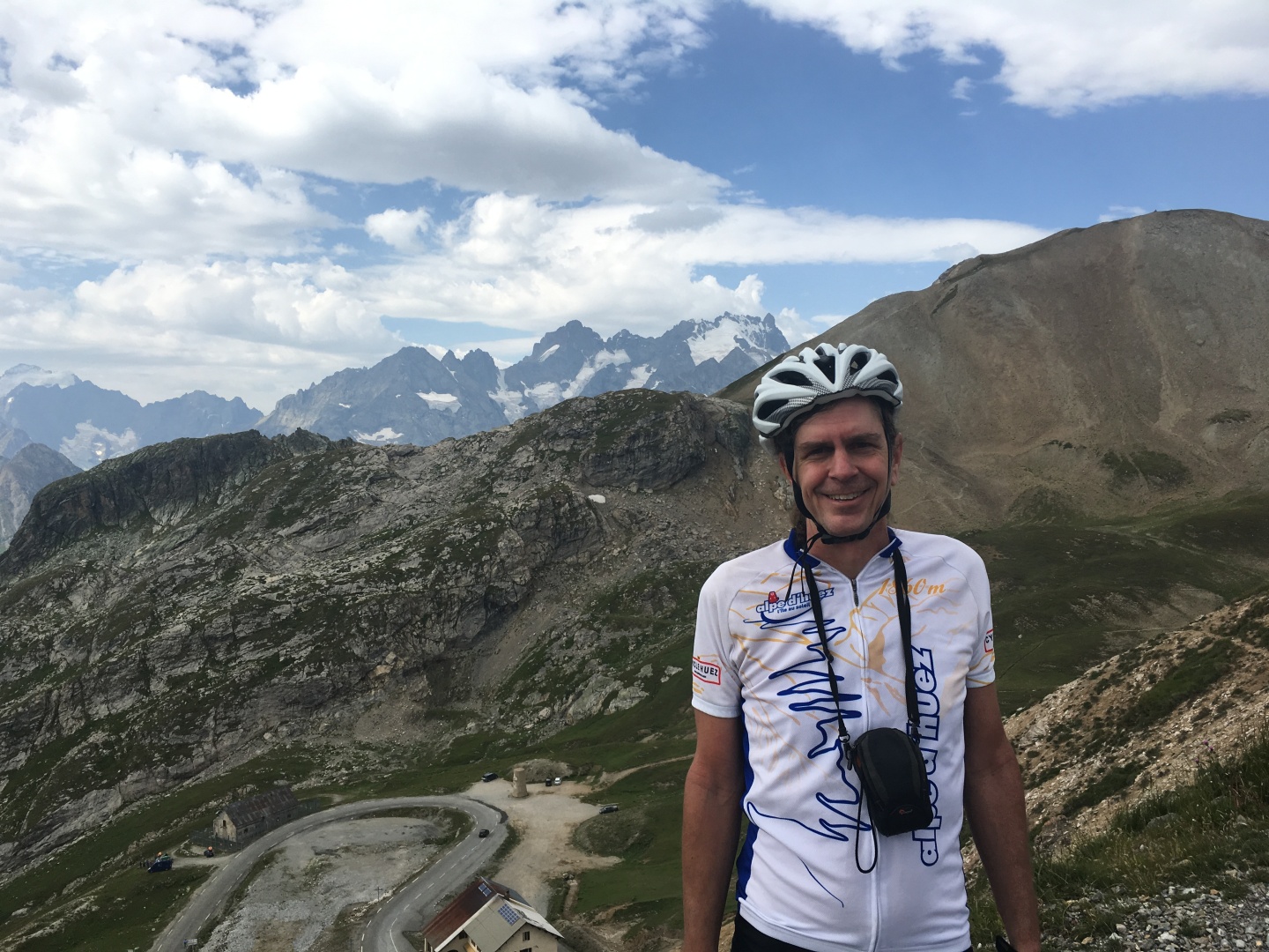
Col du Galibier!
2017-07-31 10:54
Looking south from Col
du Galibier
Barre des Écrins 4102m / 13,458' is on the far left, it is the
southernmost 4000m
peak in the Alps and one of only two 4000m peaks in France, the other
being Mt Blanc which is shared with Italy.
La Meije 3984m / 13,071' is in the center
Looking southeast from Col du
Galibier
2017-07-31 10:58
Looking southeast from Col du
Galibier
2017-07-31 10:58
Looking south from Col du
Galibier
2017-08-01 01:36
Looking northwest from Col du
Galibier
2017-07-31 11:13
Looking north from Col du
Galibier
2017-08-01 01:36
Looking north from Col du
Galibier
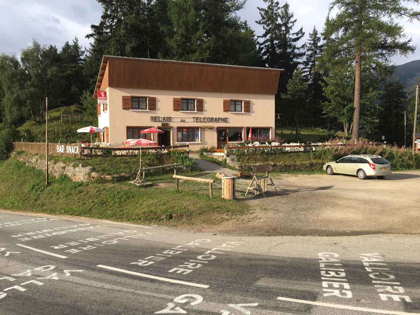
2017-07-31 13:14
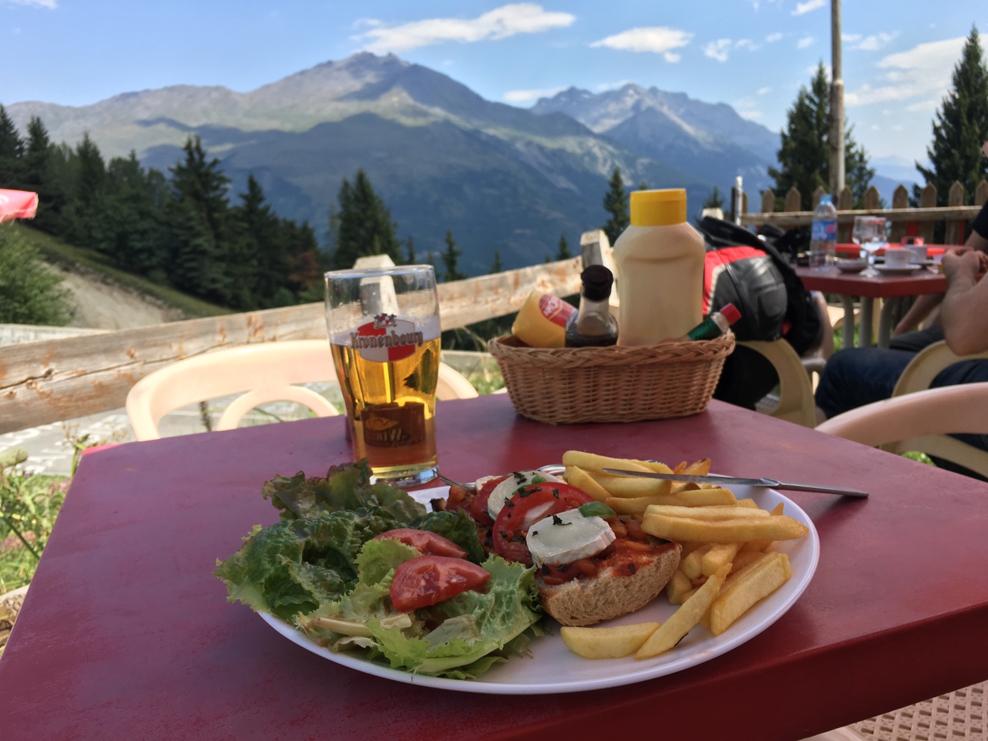
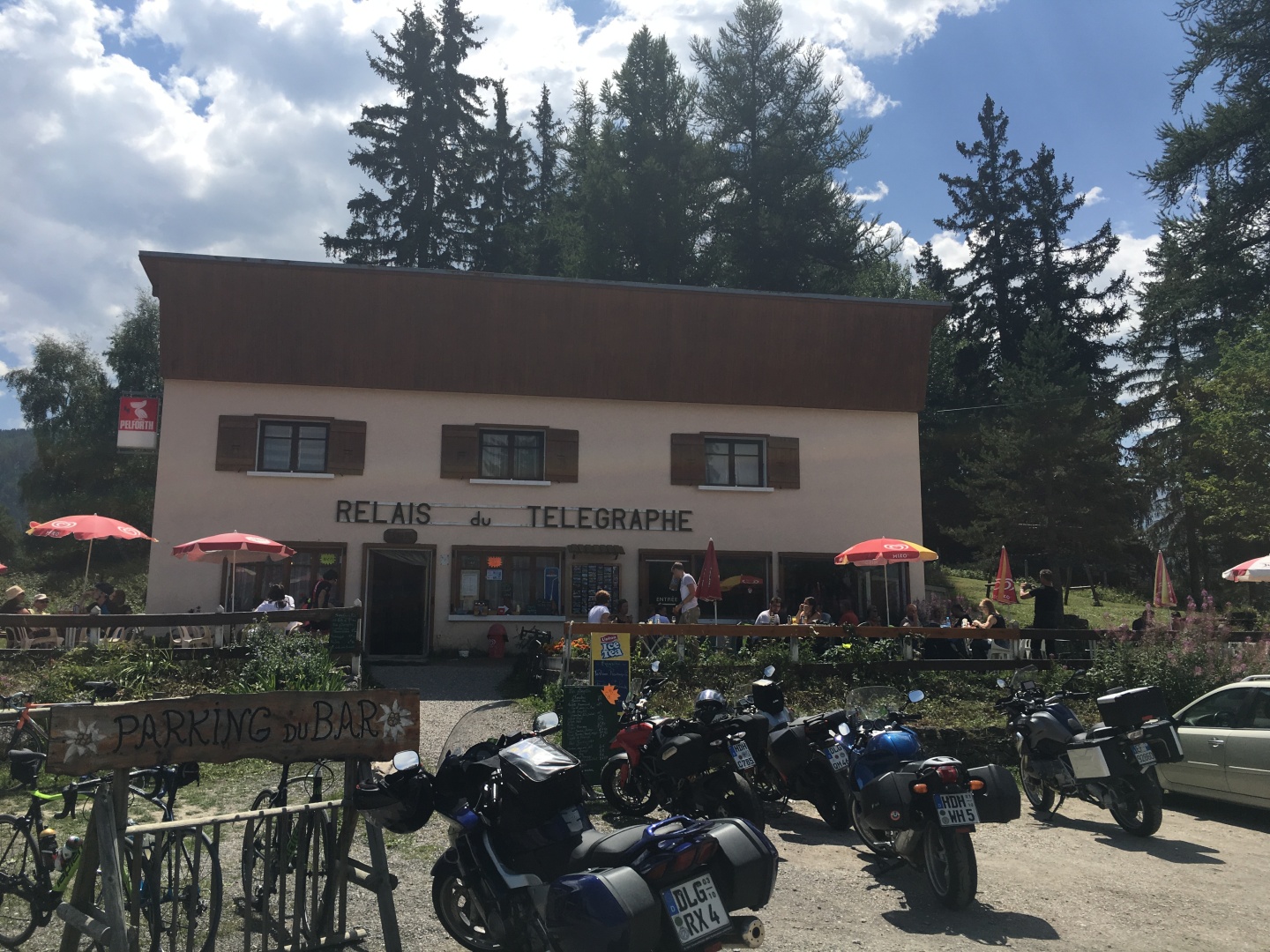
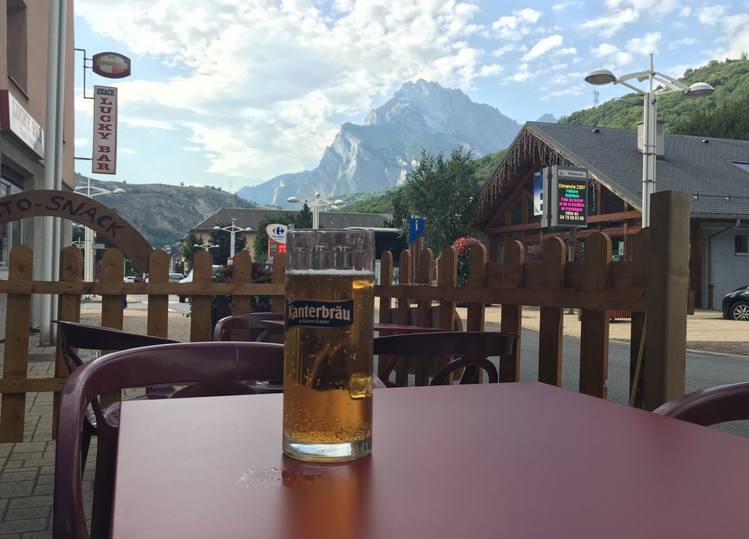
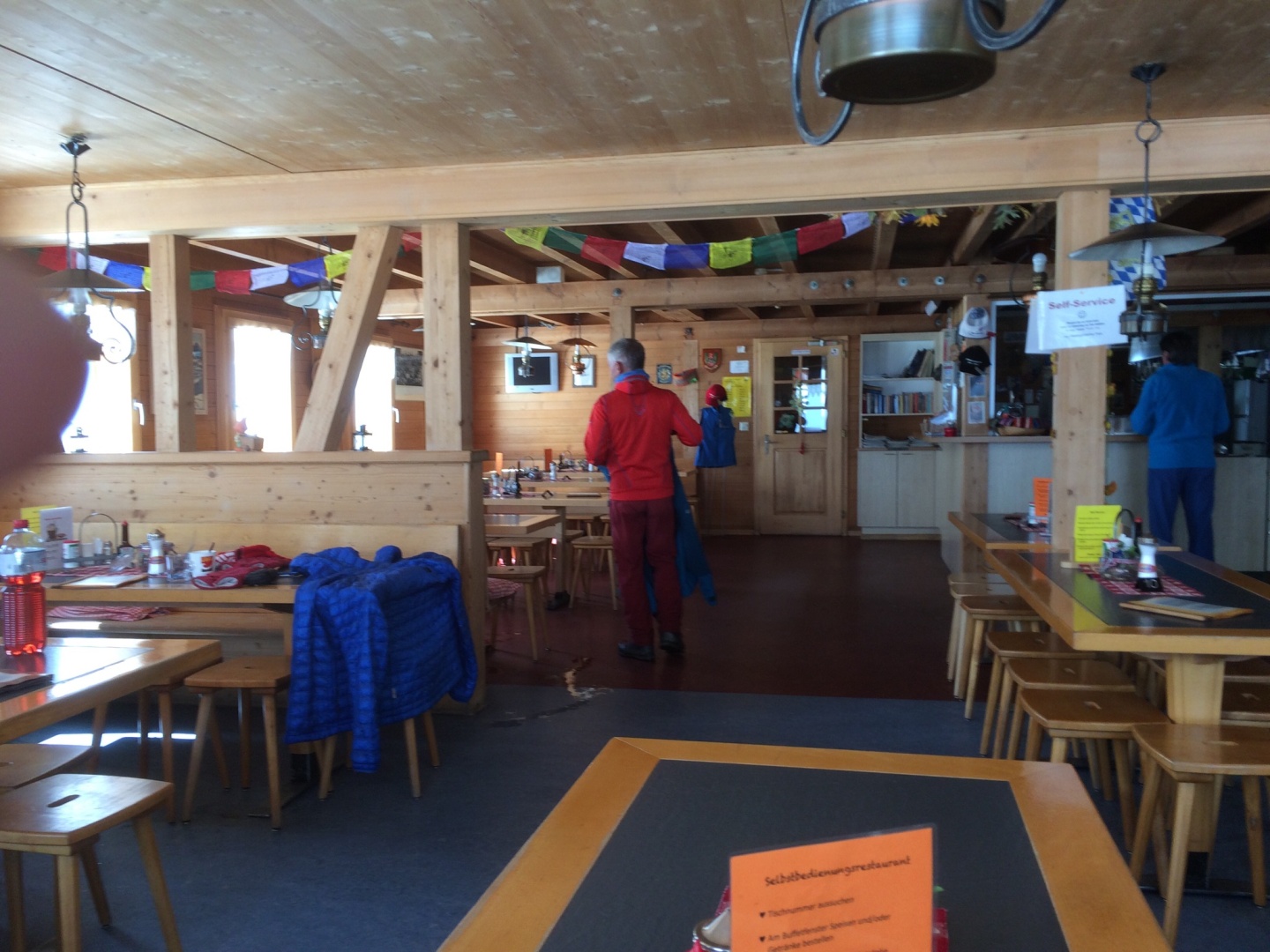
I got the special and a beer at Relias du Télégraphe
on my way down
I got to watch cyclists
summit Col du Télégraphe
EVERYONE stopped to take a
break at the top of the Col,
I only saw one badass who
didn't
stop.
Most everyone on that mountain
was in much better shape than me and
they were much faster.
I'm ok with that!
2017-07-31 13:30
Col du Télégraphe
2017-07-31 13:43
Looking east toward
Italy from Col du Télégraphe
2017-07-31 13:43
Relias du Télégraphe
2017-07-31 13:43
Looking east, the way
back down Col du Télégraphe
As I was leaving I tried to see if I could get into the Fort to see the
view.
It appeared to be closed to the public so I headed downhill.
I went back to the hotel and cleaned up.
I was pleased to find a new wrapped tiny bar of soap in the shower,
apparently all the guests are expected to share it.
My left knee did not
feel great, I decided I need
to recover before trying another stunt like this.
I was pretty wiped out.
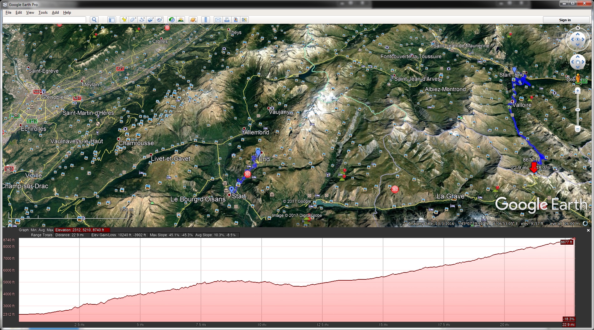
The purple line on the left is my gps track up Col du Télégraphe and
Col du Galibier - the red arrow is pointing at Col du Galibier
Grenoble is on the right.
Bourg-d'Oisans is a 90 minute bus run from Grenoble
2017-07-31 17:16
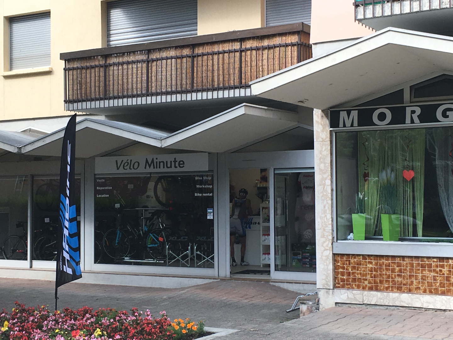
Vélo Minute is open from
0900-1200 and 1400-1800 Mon-Sat
It doesn't show up on google street view, it's in the far left corner
of the strip mall
I was sad after dropping off the bike, my mobility was pretty much
halted...
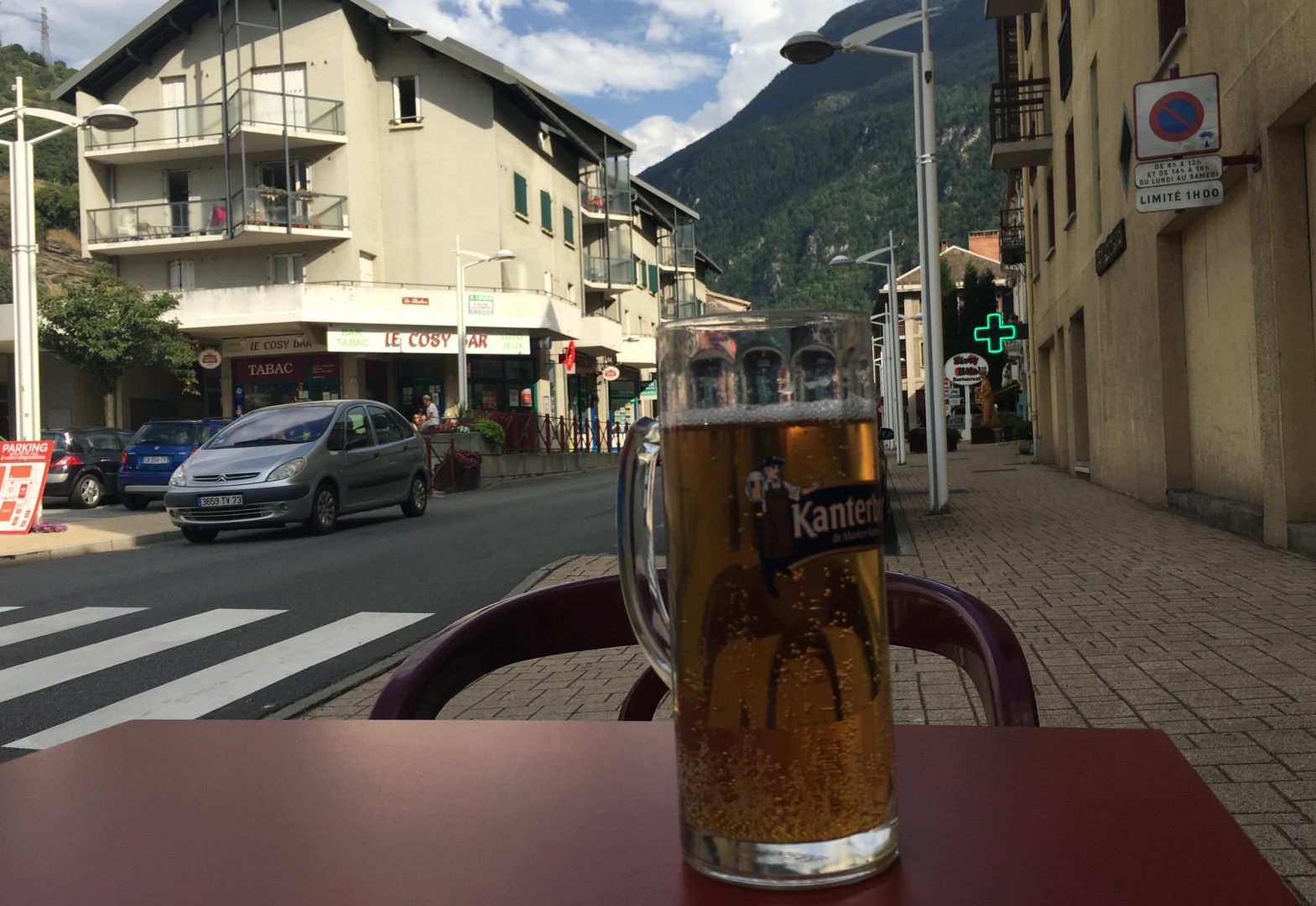
2017-07-31 17:35
I was now 1km away from
my hotel room, but I needed to wait for the restaurant to open for
dinner.
I killed some time in
front of Le California Bar.
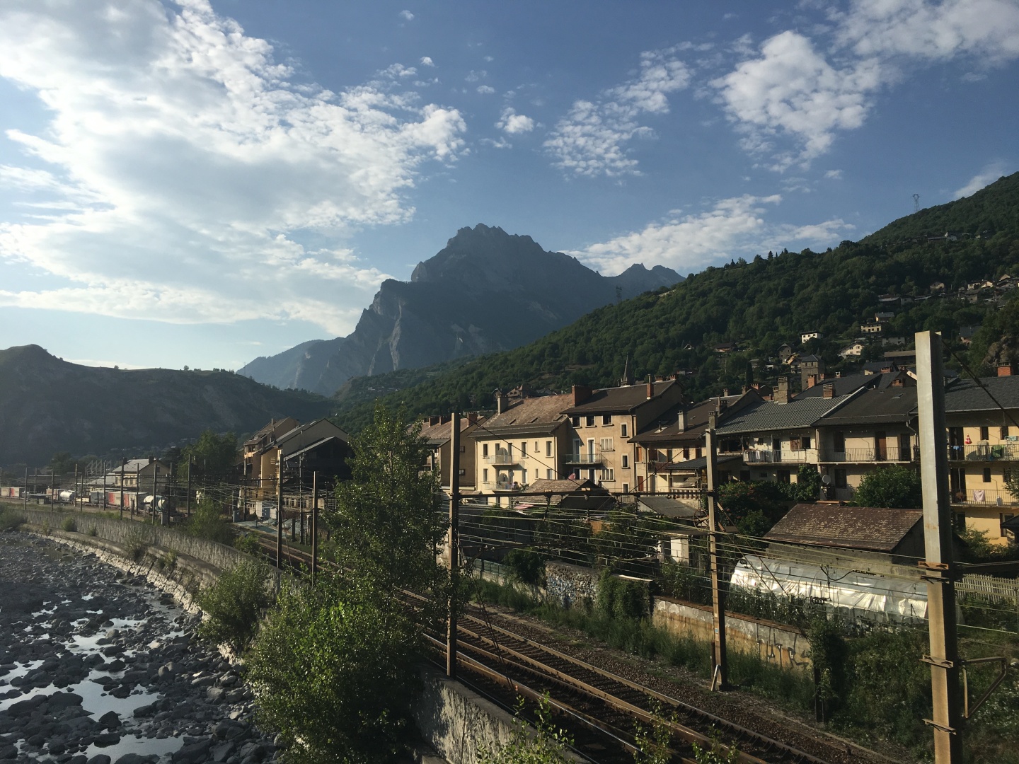
My only picture showing
downtown Saint-Michel-de-Maurienne
2017-07-31 17:35
2017-07-31 18:49
2017-07-31 19:33
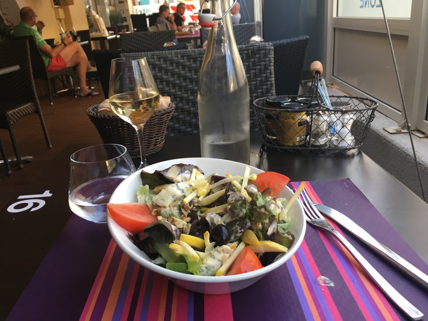
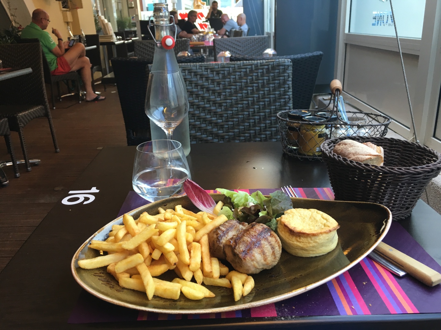
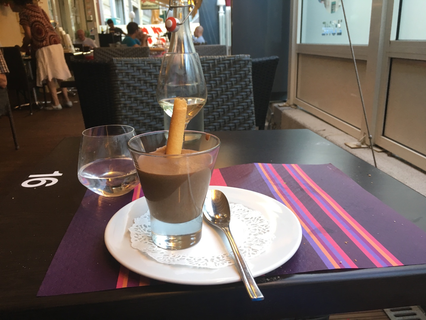
I went with Pavé de rumsteck grillé / grilled rumpsteak
It was way too chewy and
overdone for medium rare, not awful but
certainly not what one would hope for.
The thing that looks like a biscuit was very light and more like a
soufflé
2017-07-31 20:03
2017-08-02 21:54
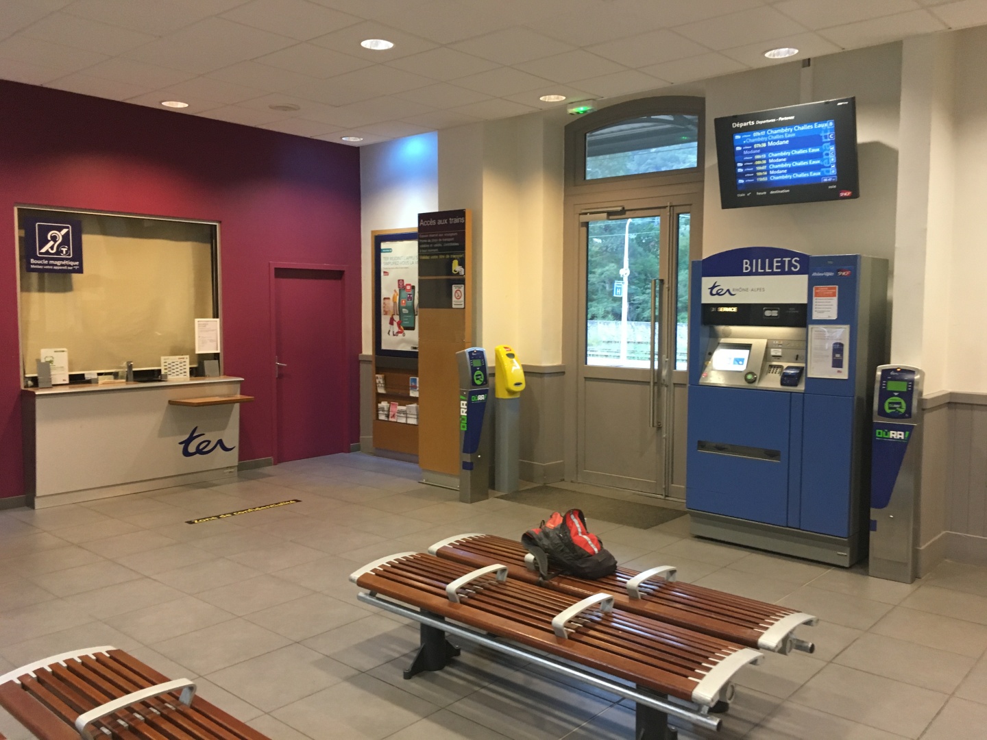
I'd never seen the train station actually open.
I figured out how to buy a ticket to Chambery from the machine and it
even worked with my American credit card, which surprised me.
In Chambery I'd need to buy another ticket.
Meanwhile...
Kent woke up in a crazy rainstorm in Wengen fearful that he wouldn't
get to attempt the Mönch.
I checked my weather radar app and assurred him that the storm was
blowing through quickly and he should be rain free in a little while.
The rain quit, and he paid the 88chf for a halffare ticket to the top
of europe, the Jungfraujoch.
Unfortunately the same wind that cleared out the storm quickly also
meant 60mph+ gusts in the mountains, nobody was going to summit the
Mönch
today.
Kent's pic - Mönchsjochhütte
He got to Mönchsjochhütte, had a beer, then went back down, got on the
train, and went to Martigny
Kent's pic
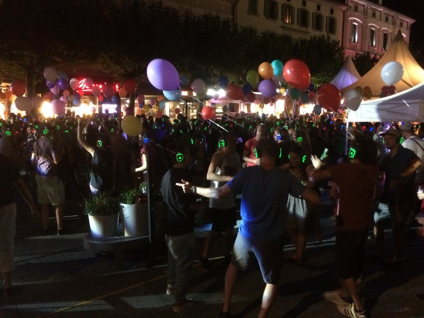
Kent went to Martigny, saw the pre-party and a silent disco, stayed in
Hotel Poste.
Kent and I both started fanticizing about Brigerbad or Luekerbad...
Tomorrow was August
1, Swiss National Day, a massive party throughout
the country.
Kent and I decided to spent tomorrow night in Martigny to see the
fireworks and the party, the one day of the year the Swiss cut loose!
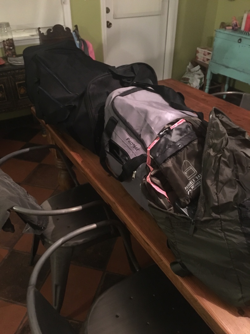
Ray "plan is a 4 letter word" started packing for his Europe trip
at 9pm, 13 hours before his flight.
He went to walmart that night for a $17 duffle bag
Previous
Saturday July 29 and Sunday July 30, 2017
El Granada to Saint-Michel-de-Maurienne, France
Monday July 31, 2017
Bike up Col du Télégraphe and Col du Galibier
Next
Tuesday August 1, 2017
Saint-Michel-de-Maurienne, France to Martigny, Switzerland