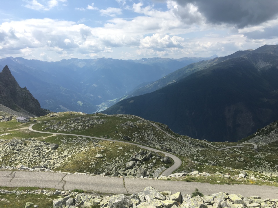
Looking west from Furkapass
The old railroad grade is on the lower left
The road up Grimselpass climbs across the valley
Totensee 2160m is barely visible at the top of Grimselpass
The large mountain directly above the road up Grimselpass is Finsteraarhorn 4274m, the highest mountain in the Bernese Alps and the most prominent peak of Switzerland according to wikipedia
Fiescherhörner 4049m is the glaciated peak to the right of Finsteraarhorn, and I think tiny white peak of the Mönch 4107m is barely visible to the right of Fiescherhörner
Lauteraarhorn 4042m is also visible
The top of the Rhone glacier, the quickly melting source of the Rhone river, is on the upper right.

Furkapass
The old railroad grade climbs to the west up the valley

Looking east from Furkapass toward Realp and Andermatt

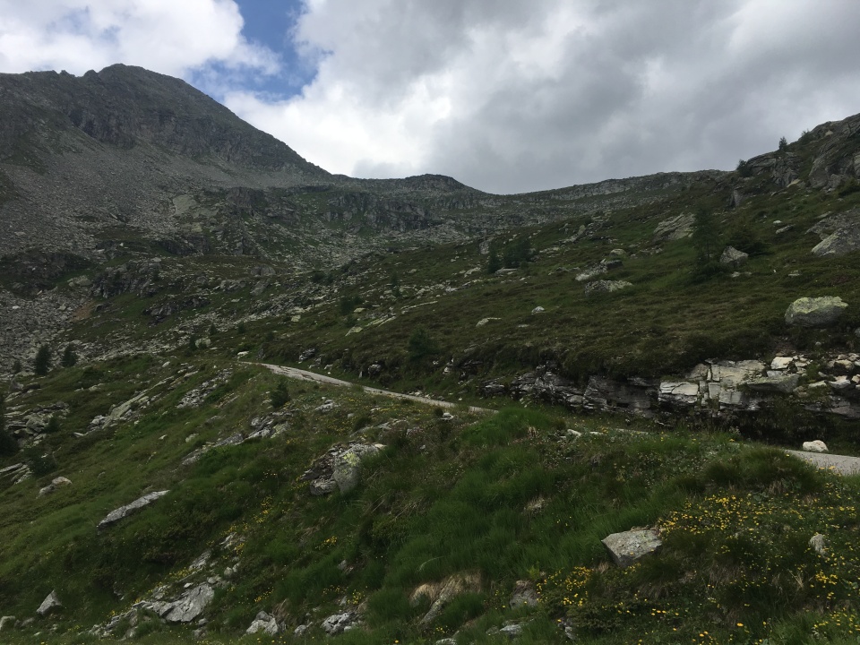
Regarded by some as the hardest paved road in the Alps
Certainly the hardest I've done, significantly harder than Ötztaler Gletscherstraße
I had Großer Oscheniksee all to myself until I was about halfway down the mountain when I ran into a couple on road bikes who were taking a break on their way up.
I suspected they were going to quit, she asked how much further and she sounded done.


Amazing climb, unreal scenery.
I got to see six 4000m peaks today, though none are in this picture.
From the left, Hinteres-Galmihorn 3488m (mostly glaciated), Oberaarrothorn 3477m, Oberaargletscher, and Oberaarhorn 3631m (I think Vorderes-Galmihorn is out of sight here)
Very pleasant, I'm a sucker for a nice glacier
I'd say I've never been anywhere nicer, but I have, Nivolet, the Dolomites, a few other places here in Switzerland
I sat on that dam, drank my beer that I'd purchased at the kiosk, and savored every second of the view...
Then I had lunch at the hut and savored even more of the view

Oberaarbahn halfway point.
Vorder-Zinggestock 2921m is the mountain at the elbow of Grimselsee
From the left, Vorderes-Galmihorn 3506m is at the edge of the picture, then Hinteres-Galmihorn 3488m (mostly glaciated), Overaarrothorn 3477m, Oberaargletscher, and Oberaarhorn 3631m are to the left of Vorder-Zinggestock
To the right of Vorder-Zinggestock are Finsteraarhorn 4274m, Agassizhorn 3947m, Grosses Fiescherhorn 4049m (barely visible above a white snowfield).
Above the front entrace of the Oberaarbahn halfway point, Lauteraarhorn 4042m is the leftmost of the 4 peaks, Schreckhorn 4078m is the rightmost of the 4 peaks; the 2 center peaks are both over 4000m as well but are unnamed and are not considered 4000m peaks.
This turned out to be the only time I could see Finsteraarhorn today, I was too close, it was blocked by all the other mountains.
From the summit of Vorderes-Galmihorn you can see nearly the entire Valais alps all the way to Mount Blanc, as well as Finsteraarhorn, Schreckhorn and Lauteraarhorn.

Grimsel Hospiz at the head of Grimselsee just above the dam dates back to at least 1142ad and after numerous rebuilds is now a very remote 4 star resort.
There are two small gondolas headed over the lake and into the mountains from near the dam as well as a third gondola that goes down below the dam.
Sidelhornbahn runs to a spot just uphill of the Grimselpass parking lot along the road to Oberaarsee, it seemed very out of place.
The trail up to Husegghütte and Sildenhoren continues uphill from near the end of the gondola.
Oberaarbahn opened just two months ago in June 2021 and takes you all the way back to Oberaarsee.

The stuff of cycling dreams...
South side of Grimelpass, the pass I just climbed, is in the center and climbs up to the left.
The top of Grimselpass is on the far left and right.
A small part of the quickly diminishing Rhone Glacier is visible above the rock face at the head of the Rhone valley
The west side of Furkapass is across the valley across from the Rhone Glacier

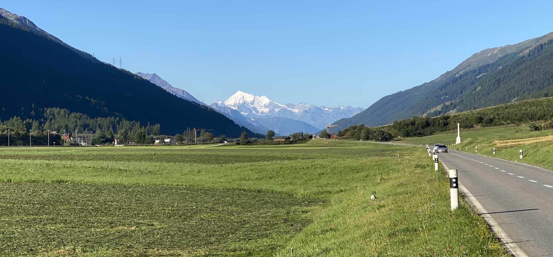
I got an awesome view of a 4000m Valais peak from 30km away in Obergesteln, but I couldn't tell what peak(s) I was looking at.
When I compiled my trip report, I still couldn't tell until I purchased the Peakvisor app.
The prominant glaciated peak is Weisshorn 4505m; ZinalRothorn 4221m is to the left.